Membership is completely free, giving members unlimited access to all available resources, services, features, and benefits without any restrictions or fees.
Welcome back. Sign in to continue enjoying unlimited access to all available resources, services, features, and member benefits at no cost.
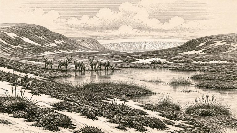
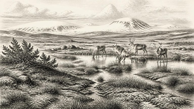
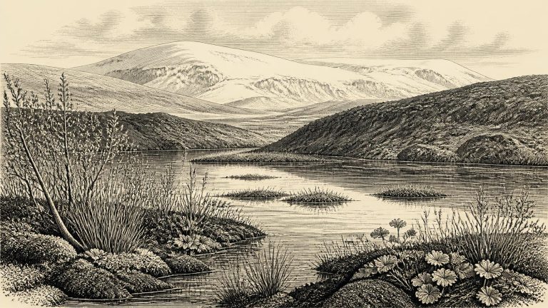
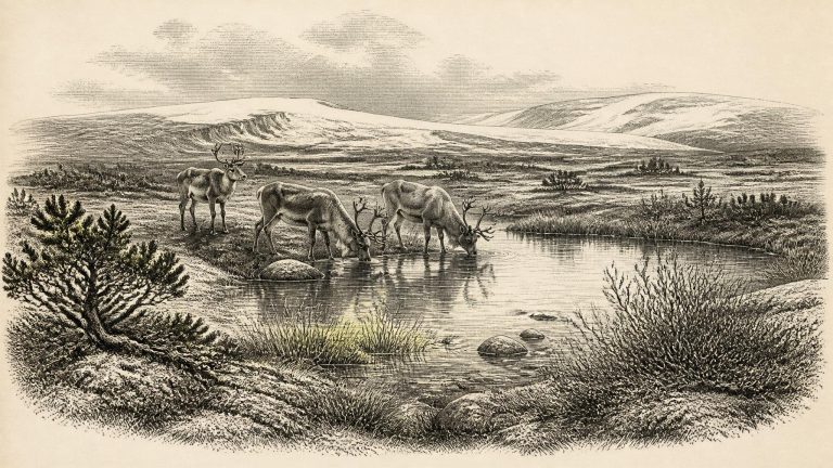
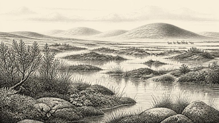
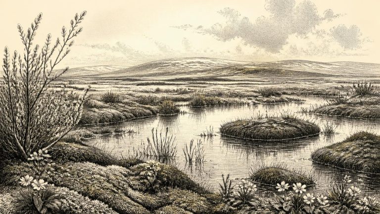
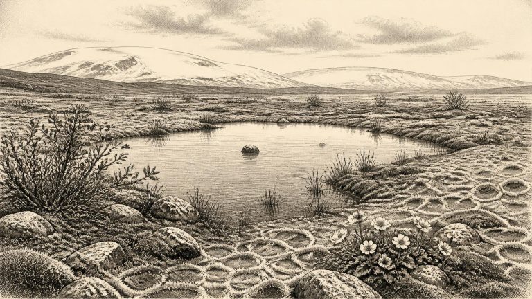
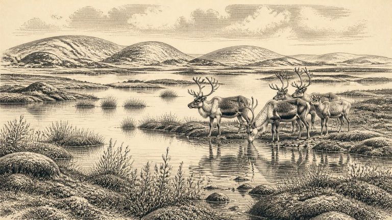
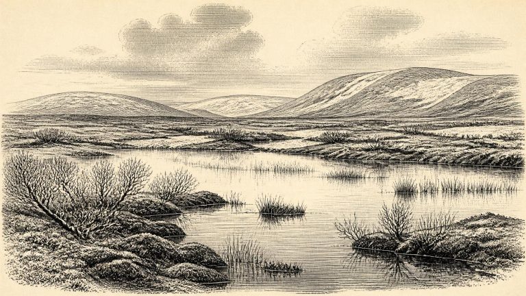
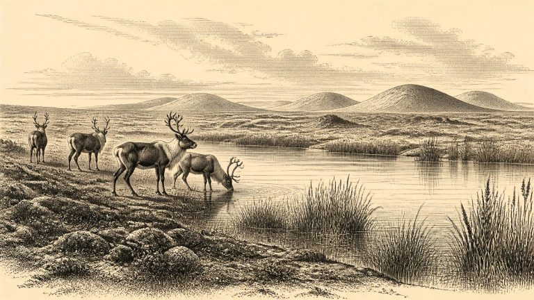
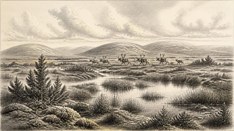
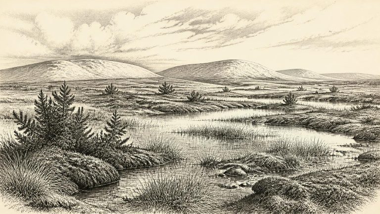
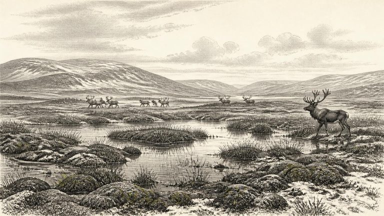
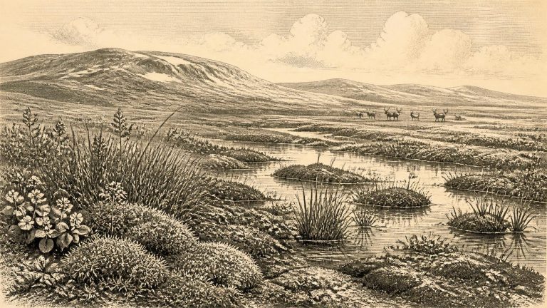
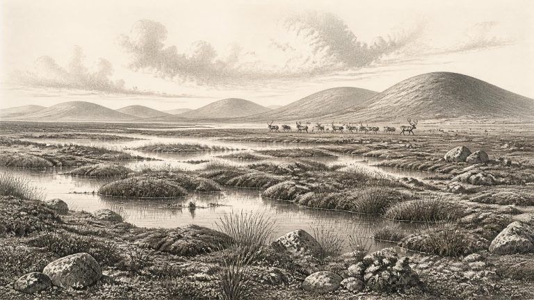
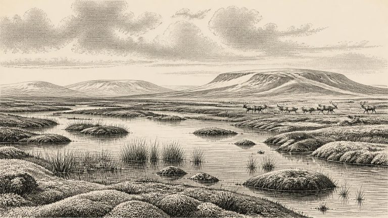
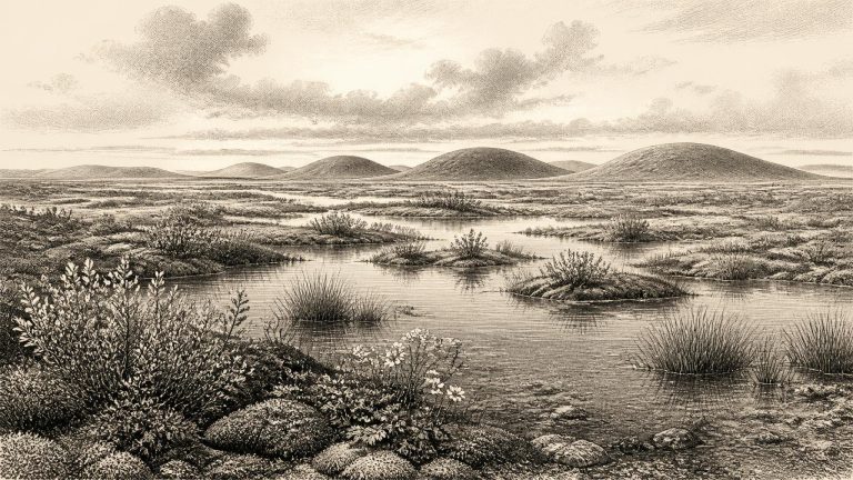
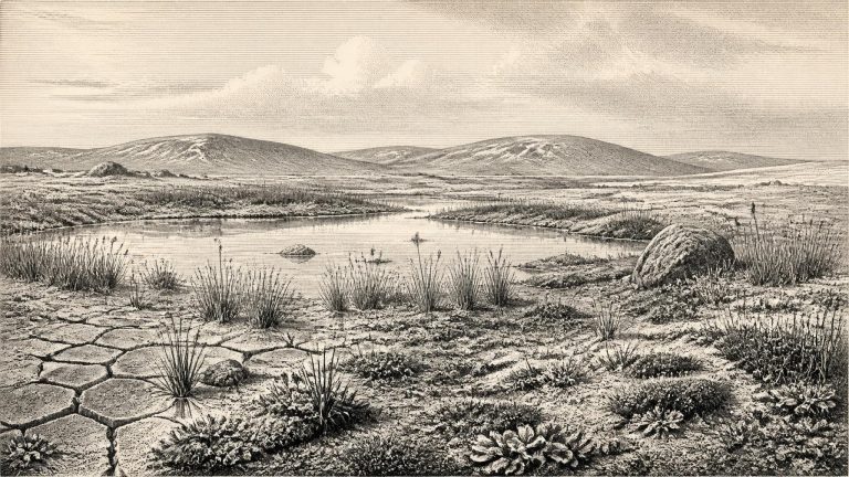
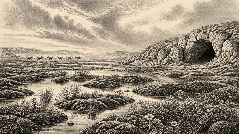
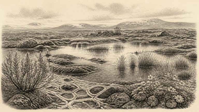
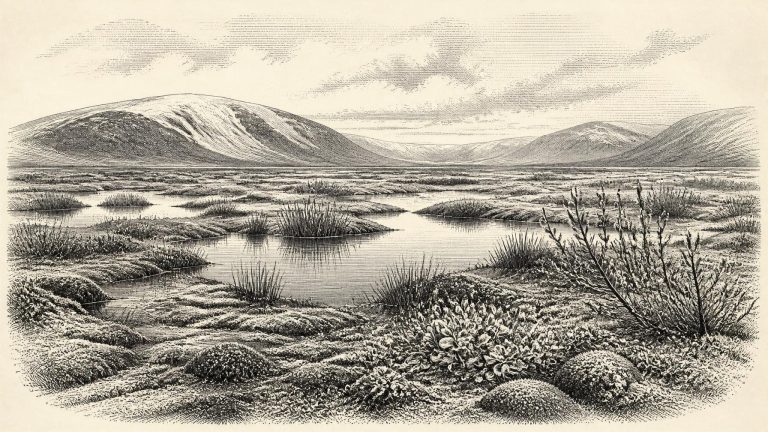
Derryvree is valuable precisely because it records a local interval in which freshwater life and sediment could accumulate between glacial episodes. The organic horizon contained remains of mosses, sedges and other plants adapted to wet, cold ground, alongside insects of a distinctly northern character. These are direct observations from a buried deposit, not a literary image of an Ice Age landscape. They indicate a wetland or shallow-water setting within an open, cold environment; they do not prove that every part of Ireland was simultaneously ice-free, nor that the whole island had one uniform climate.
Derryvree supplies the best environmental window close to this notional date. Road works in 1969 cut through a drumlin and exposed silts and fine sands containing organic material between two distinct tills. The published radiocarbon determination, Birm-166, was 30,500 radiocarbon years before present, with a substantial laboratory uncertainty of +1,170 and −1,030 years. “Before present” means before AD 1950, and a radiocarbon age is not itself a calendar age. Changes in atmospheric carbon-14 mean that it must be calibrated, while the age range becomes broader rather than magically precise.
For this period, archaeology cannot provide politics, diplomacy or conflict in the usual historical sense. There are no known Irish communities, leaders, territories, monuments or material signs of collective institutions that can be placed at 30,657 BCE. Nor is there evidence from which to reconstruct religion, language, kinship, artistic practice, trade or an economy of human production. Such absences should not be turned into a story of certainty: later ice repeatedly eroded, redeposited and buried older landscapes, making survival of campsites exceptionally unlikely. But absence is still important evidence. It means that later Mesolithic ways of life—houses, microlithic tools, fishing places and repeated occupation—must not be projected back more than twenty millennia.
The requested year falls within the broad calibrated range associated with the Derryvree freshwater deposits. Road-cutting through a drumlin there in 1969 exposed fine sands, silts and organic mud sealed between two layers of glacial till. A radiocarbon determination, BIRM-166, gave an age of 30,500 radiocarbon years before present, with a substantial margin of error. Calibrated with modern methods, it corresponds approximately to 36,900–31,700 calibrated years before present, or about 34,950–29,750 BCE. Thus 30,658 BCE sits within the possible span, but it cannot be fixed to a particular layer, season, generation or local episode.
The distinction between radiocarbon years and calendar years matters greatly here. Organic material from Derryvree produced the well-known radiocarbon determination BIRM-166: 30,500 radiocarbon years before present, with a large laboratory uncertainty of +1,170 and −1,030 years. Radiocarbon ages cannot simply be subtracted from 1950, because atmospheric carbon-14 levels have changed over time. Calibration with modern curves places the Derryvree material broadly in the range of about 36,900 to 31,700 calibrated years before present, or approximately 34,950 to 29,750 BCE.
Road works in 1969 cut through a drumlin at Derryvree, about two kilometres north-east of Maguiresbridge. Beneath the familiar glacial landform, investigators found an extraordinary sequence: thick till, then freshwater silts and fine sands rich in organic remains, then another thick till. Till is unsorted sediment laid down directly by glacier ice. The sequence therefore establishes a major environmental fact. Ice had occupied this part of Fermanagh; an interval followed in which standing or slowly moving fresh water, wet ground and vegetation developed; and later ice-related deposition sealed that landscape from view.
The closest Irish environmental anchor is Derryvree, near Maguiresbridge in County Fermanagh. Roadworks exposed a drumlin section there in 1969. Beneath the familiar smooth hill’s surface lay a remarkable sequence: a lower body of glacial till, then freshwater silts and fine sands rich in organic material, and finally an upper till. The order matters more than any attempt to assign a particular season to the sediment. Ice had occupied the locality; subsequently, water and organic mud accumulated in an ice-free hollow; later ice or glacial sediment sealed the deposit again.
Derryvree was exposed during roadworks in 1969, when a cutting passed through a drumlin: a streamlined hill of glacial sediment. Beneath its surface were two distinct tills, unsorted deposits laid down by ice. Between them lay freshwater silts, fine sands and organic-rich mud. This sequence supplies the firmest conclusion available. Glacial ice had occupied the locality and left the lower till; at a later point, water and vegetation accumulated in a basin not overridden by ice; eventually another ice advance buried the deposit beneath the upper till.
The clearest Irish evidence relevant to this broad horizon comes from Derryvree townland near Maguiresbridge, County Fermanagh. Road-cutting through a drumlin in 1969 exposed fine sands and freshwater silts, including organic material, sealed between two substantial layers of glacial till. The stratigraphy is unusually informative. Ice deposited the lower till; an interval then followed in which this particular hollow was free of glacier ice and held standing or slow-moving fresh water; later ice covered the deposits with the upper till. The sediments survived precisely because they were entombed beneath that later advance.
The nearest important Irish chronological anchor is a freshwater sequence at Derryvree, near Maguiresbridge in County Fermanagh. Roadworks in 1969 cut through a drumlin and exposed organic silts and fine sands between two layers of glacial till: unsorted debris deposited by ice. The order of the deposits is especially valuable. Glacier ice had affected the locality and laid down the lower till; an interval followed in which shallow freshwater, plants, insects and sediment accumulated; then a later ice advance buried the deposit beneath upper till.
MIS 3 was not one uniform Ice Age winter. Greenland ice cores show that the North Atlantic climate repeatedly switched between colder stadials and relatively milder interstadials, often on timescales of centuries or millennia. Those shifts did not translate mechanically into identical weather in Ireland, but they make clear why Irish deposits from this era must be read as local records within an unstable wider climate. Temperatures, snowfall, growing seasons, sea ice and glacier margins could all alter substantially over periods far longer than a human lifetime yet far shorter than the span normally implied by “the Ice Age”.
The strongest Irish evidence relevant to this approximate horizon comes from Derryvree townland, near Maguiresbridge in County Fermanagh. Roadworks in 1969 cut through a drumlin and exposed an unusual sequence: freshwater silts and fine sands rich in organic remains lay between two thick sheets of till, the unsorted debris deposited directly by glacier ice. The order of the layers is decisive. Glacial ice had previously occupied the locality; it then withdrew or ceased to cover this basin long enough for water, sediment, plants and small animals to accumulate; later ice advanced again and sealed the deposit.
Radiocarbon dates are conventionally expressed as years “before present”, with present fixed at AD 1950. They are not identical to calendar years because atmospheric carbon-14 varied over time. Calibration converts radiocarbon determinations into calendar ranges, but uncertainty increases at this depth in time. The numbered date 30,667 BCE should thus be treated as a useful filing point, not an anniversary. It broadly falls within the span of the important Derryvree environmental sequence near Maguiresbridge, County Fermanagh: organic freshwater sediments there have been placed at about 36.9–31.7 thousand calibrated years before present. That range embraces the general period, but cannot describe the weather, season or inhabitants of one particular year.
The key Derryvree radiocarbon determination, BIRM-166, was obtained from organic freshwater silts and fine sands found between two distinct sheets of glacial till. It was reported as 30,500 radiocarbon years before present, with a substantial uncertainty of +1,170/−1,030 years. Modern radiocarbon calibration is essential: radiocarbon years are not calendar years, because atmospheric carbon-14 levels have changed through time. Using modern calibration approaches, the dated interval has been placed broadly at about 36,900–31,700 calibrated years before present, or roughly 34,950–29,750 BCE. The requested date falls within that wide span, but it cannot be assigned to a particular season, layer, or incident at Derryvree.
The Derryvree sediments received a conventional radiocarbon determination of 30,500 ± 1,170/1,030 radiocarbon years BP. “BP” means before AD 1950, not before the present day, and radiocarbon years are not the same as calendar years. When calibrated, the determination translates into a broad calendar-age interval, commonly placed at approximately 36,900–31,700 calibrated years BP. The range encompasses centuries upon centuries; its younger end lies close to the modern label used here. It is evidence for an interval of local conditions, not proof that a particular plant flowered or animal passed through Fermanagh in 30,669 BCE.
At Derryvree, near Maguiresbridge in County Fermanagh, roadworks exposed silts and fine sands trapped between two layers of glacial till. The lower till records an earlier phase of ice cover; the organic-rich freshwater deposits accumulated after that ice had withdrawn locally; the upper till shows that ice later returned. This sequence is important because it preserves a landscape between glacial advances rather than merely the traces left by ice.
30,671 BCE is a useful modern label, not a date at which an Irish event can be placed. No writing, named people, settlements or calendar system survive from this depth of time. Indeed, the apparent precision is misleading: it lies roughly 32.6 thousand calendar years before the radiocarbon convention of AD 1950, during the Late Pleistocene and Marine Isotope Stage 3 (MIS 3), a climatically volatile part of the last Ice Age. The appropriate history is therefore one of broad, calibrated ranges and physical evidence rather than a narrative of a particular year.
Derryvree is exceptionally important because it preserves an environmental interval between two tills: dense, unsorted deposits laid down by glacier ice. Road works in 1969 cut through a drumlin and revealed freshwater silts and fine sands trapped between the lower and upper till sheets. The sequence is direct physical evidence that local ice had occupied the ground, then ceased to override it long enough for water and organic sediments to accumulate, before a later advance covered the site again. A radiocarbon determination from the organic deposit, Birm-166, was reported as 30,500 radiocarbon years before present, with a substantial error margin. Calibration converts such a result into a broad calendar probability range rather than a precise date.
The label 30,673 BCE is useful only as a modern point on a retrospective timeline. It does not identify a year that anybody in prehistoric Ireland could have named, recorded or remembered. At this depth of time, modern calendar-year precision is unavailable: there are no written sources, annual deposits or securely dated human events from which to build a conventional year-by-year narrative. In the archaeological convention that measures time from AD 1950, the label falls about 32,622 calendar years before present (cal BP). The responsible setting is the later part of Marine Isotope Stage 3, an unstable interval of the last Ice Age, rather than one recoverable Irish “year”.
Derryvree was exposed by roadworks in 1969, when a cutting through a drumlin revealed a striking sequence. Beneath lay a lower layer of till: unsorted debris deposited by glacier ice. Above it sat organic-rich freshwater silts and fine sands. These were in turn sealed beneath another thick till. The sequence records an important regional rhythm: glacial conditions, then an interval in which open water and vegetation existed at this locality, followed by renewed or expanded glaciation. It does not prove that every part of Ireland was ice-free at once, but it decisively complicates any picture of an island continuously buried beneath ice throughout the last cold stage.
Derryvree records an interval when freshwater and vegetation existed at a site that had experienced glaciation and would later be overtaken or sealed by renewed ice-related deposits. This makes it exceptionally valuable, because later ice sheets eroded, rearranged and buried much of Ireland’s earlier landscape evidence. The sequence does not prove that the whole island shared one uniform climate or surface condition. It does demonstrate that part of north-central Ireland contained an ice-free wetland environment during this wider span.
Radiocarbon ages are not calendar dates. They measure residual radioactive carbon and must be calibrated against changing atmospheric carbon levels. For deep time, the uncertainty is substantial. The key Derryvree organic deposit in County Fermanagh produced a conventional radiocarbon age of 30,500 +1,170/−1,030 years BP. Using modern calibration, this is commonly expressed as approximately 31,700–36,900 calibrated years BP: a broad span which includes the modern calendar position represented by 30,676 BCE. It is not evidence that a pool existed on that exact year, but it makes Derryvree the closest securely dated Irish environmental archive for the article’s horizon.
The most informative Irish evidence close to this notional year comes from Derryvree townland near Maguiresbridge, County Fermanagh. Road-cutting there in 1969 exposed a remarkable sequence through a drumlin. Two thick beds of till—unsorted material laid down by glacier ice—enclosed freshwater silts, fine sands and organic layers. The order of these deposits is secure: ice had crossed the district, an interval then allowed standing or slow-moving fresh water and wet ground to develop, and later glacial deposition buried the evidence beneath another till.
The distinction between radiocarbon years and calendar years matters especially here. The most important Fermanagh date, laboratory number BIRM-166, was obtained from organic-rich freshwater deposits at Derryvree near Maguiresbridge. It produced an age of 30,500 radiocarbon years before present, with a large quoted uncertainty of roughly a thousand years. Such an age cannot be read straight across as 30,500 calendar years. Calibration using modern curves places comparable late radiocarbon ages broadly in the mid-30,000s cal BP, or calibrated years before AD 1950, rather than in a single precise calendar year.
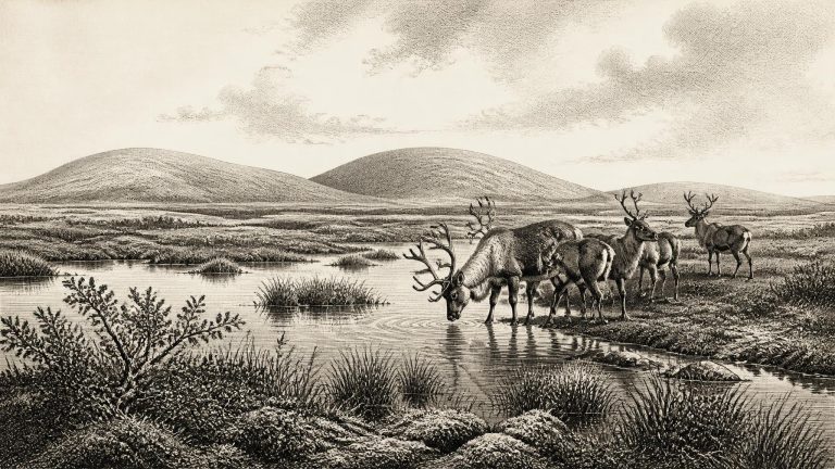
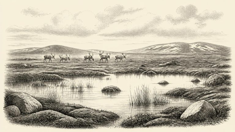
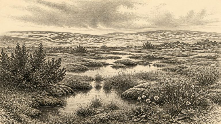
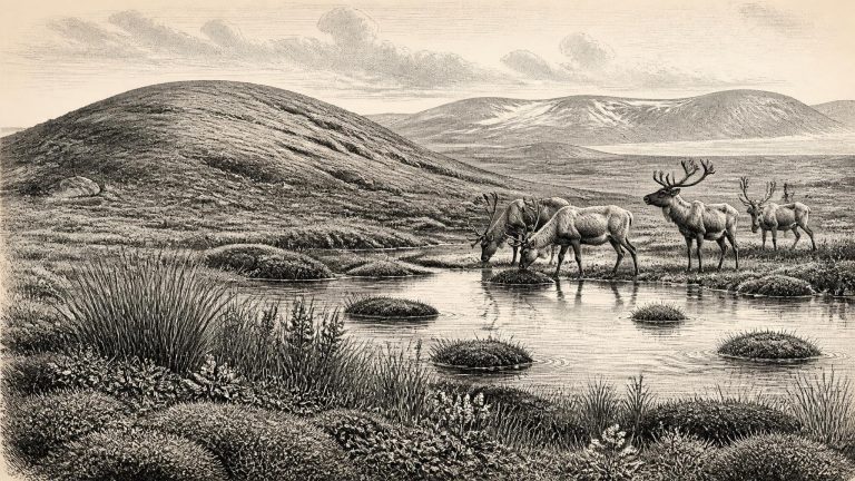
Derryvree is significant because later glaciation erased or rearranged so much of Ireland’s older ground surface. Here, burial preserved a small environmental archive. Its silts and fine sands recorded open fresh water and wet ground rather than a village, cultivated field or human camp. Pollen was poorly preserved, but the plant macrofossils, mosses and insect remains were enough to demonstrate a cold, treeless landscape. The original investigators described a full-glacial flora and fauna; that phrase refers to the cold ecological character of the assemblage, not to proof that all Ireland was then uniformly buried beneath ice.
Radiocarbon dating does not turn directly into an exact BCE date. A laboratory measurement records the remaining carbon-14 in once-living material; because atmospheric carbon-14 has varied, the result must be calibrated against independently dated environmental records. IntCal20, the principal Northern Hemisphere calibration curve, extends to 55,000 calibrated years before present, but uncertainty becomes substantial so far back. Consequently, a nominal year such as 30,680 BCE is best treated as a point within a broad chronological window, not as an anniversary.
Thirty thousand years ago Ireland was not the familiar green, wooded island of later millennia. Nor was it necessarily a single unbroken white expanse of ice. The growth and retreat of the British–Irish Ice Sheet were complex, varying between regions and through time. Geological research now indicates that substantial ice had developed earlier in the last cold stage, while Marine Isotope Stage 3 also contained episodes when areas of land were ice-free or lay near glacier margins. By about 30,000 years ago, major expansion towards the Last Glacial Maximum was under way, but the exact configuration of ice over every Irish valley, coast and upland cannot be reconstructed year by year.
Derryvree’s importance lies in its sequence. An earlier glacier deposited the lower till. Ice then ceased to occupy the locality long enough for freshwater sediments, plant remains and small animal evidence to accumulate in a basin. Later glacial activity buried that organic archive beneath another till. This demonstrates an ice-free interval at the site; it does not prove that every part of Ireland was simultaneously ice-free, nor that the precise extent of ice can be mapped for 30,682 BCE. Ireland’s older Pleistocene landscapes were repeatedly eroded, overridden and concealed by later ice, so such surviving windows are exceptionally valuable.
This was not yet the maximum of the last British–Irish Ice Sheet. That broader maximum came later, with ice-sheet extent varying from sector to sector and reaching its greatest overall area around 26,000 years before present. Yet Ireland was already entering a decisive period of glacial growth. Reconstructions based on landforms, marine sediments, dating programmes and ice-sheet modelling suggest that, by roughly 31,000–30,000 years before present, upland ice masses were enlarging and northern and western sectors of the developing ice sheet were changing rapidly. At the nominal date represented by 30,683 BCE, some parts of Ireland may have remained exposed while ice accumulated in mountain areas and advanced across adjoining lowlands and seas.
Derryvree records a local interval in which freshwater accumulated after one phase of glaciation and before later ice or glacial deposits sealed the site. This sequence is important precisely because later glaciers removed, rearranged or buried so much of Ireland’s older landscape. It offers unusually direct evidence that part of Fermanagh was not continuously beneath ice during this portion of the Midlandian glacial cycle. Yet it must not be inflated into a map of the entire island. A small wetland basin in south Fermanagh cannot establish the precise state of every coast, mountain or river valley in Ireland.