Membership is completely free, giving members unlimited access to all available resources, services, features, and benefits without any restrictions or fees.
Welcome back. Sign in to continue enjoying unlimited access to all available resources, services, features, and member benefits at no cost.
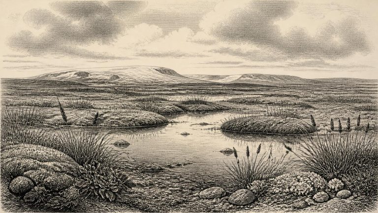
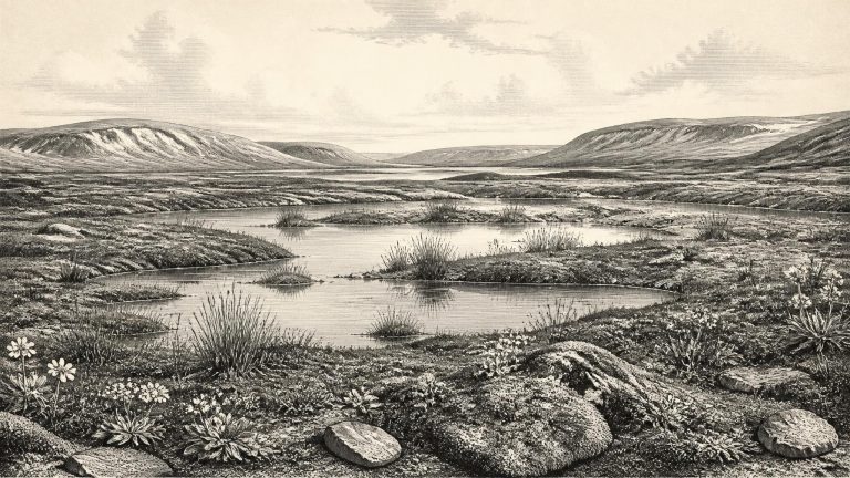
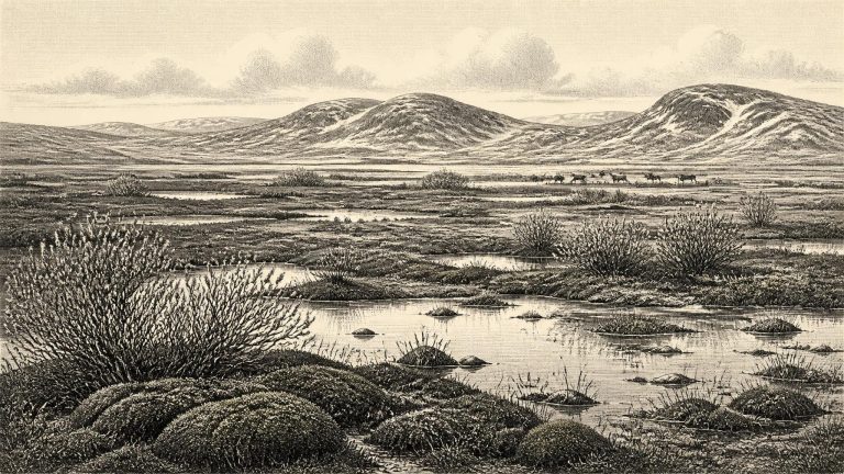
Ireland lay in the middle of the last Ice Age, but not yet at the Last Glacial Maximum. That later maximum, broadly dated to about 26,500–19,000 cal BP, saw the British–Irish Ice Sheet expand extensively across Ireland and its surrounding shelves. Around 32,600 cal BP, conditions were unstable and regionally varied. The island should not be imagined either as a uniformly ice-covered white desert or as a familiar green landscape merely made colder. Ice sheets and local glaciers had advanced and retreated repeatedly; open ground, frozen soils, seasonal waters and vegetated lowlands could occur in the same broad region at different times.
Roadworks in 1969 cut through a drumlin at Derryvree and exposed organic silts and fine sands sealed between two distinct layers of glacial till. Eric Colhoun, James Dickson, A. M. McCabe and Frederick Shotton published the sequence in 1972. Their radiocarbon determination, Birm-166, was 30,500 radiocarbon years before present, with a large uncertainty of +1,170 and −1,030 years. “Before present” conventionally means before AD 1950; it is not equivalent to a calendar year. Modern calibration against changing atmospheric radiocarbon levels turns such a result into a wide calendar range rather than a pinpoint. A commonly cited calibration places the Derryvree interval broadly around 36,900–31,700 calibrated years BP, approximately 34,950–29,750 BCE.
Derryvree’s importance lies in its stratigraphy. Till below the freshwater beds shows that glacier ice had previously affected the locality. The silts and organic material demonstrate that, for a time, the place was free of overriding ice and able to sustain standing or slow-moving fresh water, wet ground and living vegetation. Till above the deposit records renewed glacial activity or ice-proximal deposition that eventually buried and protected this short-lived archive. It is an unusually vivid survival from a landscape otherwise repeatedly eroded, frozen and remodelled during the Ice Age.
Derryvree was revealed in 1969 when road works cut through a drumlin. Beneath a later sheet of glacial till, excavators found fine sands and organic silts; beneath those lay another till. This sequence matters because the organic layer records a period when freshwater accumulated at the site rather than ice flowing across it. The deposit therefore provides strong local evidence that part of north-central Ireland was ice-free during the interval represented by the sediments, before a subsequent glacier overrode and sealed them.
This was part of the Midlandian glaciation, Ireland’s name for the last glacial cycle. It preceded the fullest expansion of the last British–Irish Ice Sheet, which occurred later, in the broad interval conventionally called the Last Glacial Maximum. Ireland was not a static white wilderness awaiting that maximum. Ice grew, retreated and reorganised across different regions at different times; mountains, lowlands, coasts and the adjoining sea basin could have had sharply different conditions. Recent reconstructions of the British–Irish Ice Sheet begin at 31,000 years before present precisely because older evidence is sparse and uncertain, while showing ice accumulating in northern sectors and advancing through the later part of this cold phase.
The Derryvree deposit is central because its published radiocarbon age, BIRM-166, was 30,500 radiocarbon years BP, with a substantial uncertainty of +1,170/−1,030 years. Radiocarbon years are not the same as calendar years: concentrations of atmospheric carbon-14 have varied, so laboratory ages must be calibrated against independently dated records. Calibrated estimates place the deposit broadly in the later MIS 3 world, approximately 36,900–31,700 calendar years BP. The modern year-label 30,696 BCE falls within that wide interval, but this does not mean that the Derryvree sediments were laid down in that particular year. It means that the deposit is a valuable, broadly contemporary window on Ireland during a cold and changeable age.
The most informative Irish evidence for this broad period comes from Derryvree, near Maguiresbridge in County Fermanagh. Roadworks in 1969 cut through a drumlin and revealed a remarkable sequence: two substantial sheets of glacial till, separated by freshwater silts, fine sands and organic mud. The order of those layers matters. An earlier glacier had deposited the lower till; then an interval without local ice allowed water, sediment, plants and small animals to occupy a basin; finally, renewed glaciation buried the wetland below another till sheet. The deposit was preserved not because it was a settlement, but because ice later sealed it.
The most valuable Irish evidence relevant to this period comes from Derryvree near Maguiresbridge, County Fermanagh. Roadworks in 1969 cut through a drumlin and exposed a remarkable sequence: freshwater silts, fine sands and organic layers lay between two thick sheets of till, the unsorted sediment deposited directly by glacier ice. The order of the deposits is important. It proves that ice had affected this place, that an interval followed in which water, plants and organic mud accumulated, and that later glacial activity buried and preserved the basin.
There were no written records, rulers, states or historically identifiable communities in Ireland at this time. Modern calendar precision is unavailable. Radiocarbon results are conventionally reported in years “before present”, where present is AD 1950, and must be calibrated against changing atmospheric radiocarbon levels. At more than 30,000 years ago, calibration produces ranges rather than a single secure calendar equivalent. The date used for this article should therefore be read as a convenient point within a long archaeological horizon, not as an anniversary.
Thirty thousand seven hundred BCE fell during the Irish Midlandian glaciation, the local name for the last glacial period. This was not one unbroken age of ice. Northern Atlantic climates shifted sharply between colder stadial phases and relatively milder interstadials; glaciers advanced, thinned or withdrew locally, while vegetation and animals responded to changing temperature, moisture and seasonality. The full Last Glacial Maximum, when the British–Irish Ice Sheet reached its greatest late-Pleistocene extent, lay later, broadly after about 26,500 calibrated years before present. Around 30,700 BCE, Ireland was approaching that more severe phase, but its exact ice cover varied by region and remains difficult to reconstruct.
At Derryvree, roadworks in 1969 cut through a drumlin and revealed a remarkable sequence: a thick glacial till, then freshwater silts and fine sands containing organic material, followed by another thick till. Till is the unsorted mixture of rock and sediment deposited directly by glacier ice. The sequence establishes an important order of events: ice had affected the area; a period followed in which water, plants and sediment accumulated; and ice later returned or expanded over the site. It does not identify an exact year for any of those changes.
The difference between radiocarbon and calendar time matters especially here. Radiocarbon laboratories report ages in years before present, with “present” conventionally fixed at 1950; those results must then be calibrated because atmospheric carbon-14 has varied. At about 33,000 calendar years before present, calibration ranges can be broad. The numbered date 30,702 BCE corresponds approximately to 32,652 years before 1950, but it is not an archaeological timestamp.
Derryvree was exposed by roadworks in 1969, when a cutting passed through a drumlin about two kilometres north-east of Maguiresbridge. Investigators found fine sands and freshwater silts, including organic material, enclosed between two substantial till sheets. Till is sediment laid down directly by glacier ice. The sequence is consequently important in itself: ice had occupied the ground; then water, plants and sediments accumulated during an ice-free interval; finally, another advance buried that record beneath fresh glacial debris.
The foremost environmental archive is at Derryvree, near Maguiresbridge in County Fermanagh. Roadworks in 1969 cut through a drumlin and exposed an extraordinary sequence: glacial till below, freshwater silts and fine sands with organic material in the middle, and a further till above. Till is the unsorted debris deposited by glacier ice. The stratigraphy establishes a firm order of events. Ice had affected the locality; an interval then permitted a wetland or shallow freshwater basin to accumulate sediment and organic remains; subsequently, later ice or ice-related deposition sealed the evidence.
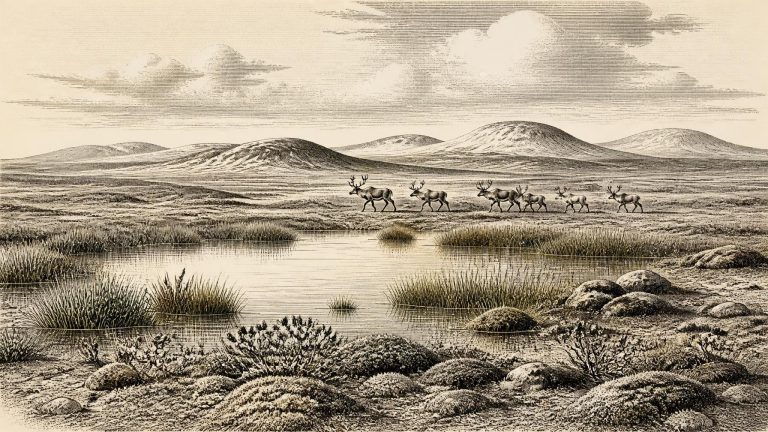
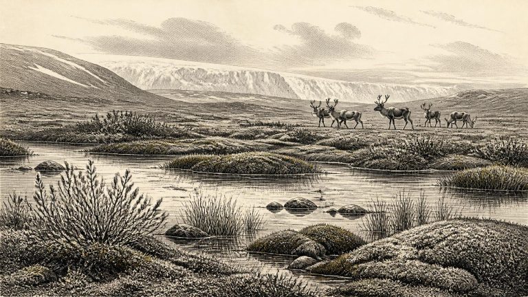
Ireland around this point was approaching, but had not yet reached, the Last Glacial Maximum. The greatest expansion of the last British–Irish Ice Sheet occurred later, broadly between about 26,500 and 19,000 calibrated years before present. At 30,705 BCE, therefore, it would be misleading to picture the whole island either as permanently buried beneath ice or as a stable habitable country. The available record instead shows a changing mosaic: local ice, frost-affected ground, exposed uplands, wetlands and animal corridors altered as climate changed over centuries and millennia.
At this depth of time, the difference between a conventional radiocarbon age and a calibrated calendar range is crucial. Radiocarbon measurements are not ancient dates written down by contemporaries: they are laboratory estimates from once-living material, with statistical uncertainty and with a further need for calibration because atmospheric carbon-14 has varied. A famous Irish determination, BIRM-166, came from organic sediment at Derryvree near Maguiresbridge, County Fermanagh. It returned a conventional result of 30,500 radiocarbon years before present, with an uncertainty of more than a thousand years. Calibration turns that result into a broad span of possible calendar ages rather than a single point.
Derryvree is crucial because of its position in the ground. Road works in 1969 exposed fine sands, silts and organic material within a drumlin, a streamlined hill shaped by moving ice. The freshwater deposits lay between two tills: unsorted, compact sediments left by separate glacial advances. The sequence demonstrates a basic order of events. Ice had occupied the locality; an interval without local ice then allowed water, plants and sediments to accumulate; later ice advanced across the district and sealed the deposit beneath further glacial material. This stratigraphic relationship is firmer than any attempt to attach a single precise date to the whole layer.
The most informative Irish evidence close to this broad period comes from Derryvree, near Maguiresbridge in County Fermanagh. Roadworks in 1969 sliced through a drumlin, exposing a remarkable sequence: freshwater silts and fine sands lay between two thick sheets of till, the unsorted debris left by glacier ice. The order of the layers is more secure than any attempt to assign them to a particular year. An earlier ice advance had deposited the lower till; thereafter, water, plants, insects and sediment accumulated at the site; finally, another advance buried the wetland beneath fresh glacial material.
Roadworks exposed the Derryvree sequence in 1969 by cutting through a drumlin, a streamlined hill of glacial sediment. Beneath and above lay thick tills; between them was evidence of a period when water occupied a low basin and mud, sand, plant remains and tiny animal traces could gather. This establishes an important but limited fact: at the time the freshwater sediments formed, that locality in what is now south Fermanagh was ice-free. It does not prove that all Ireland was free of ice, nor does it provide a complete map of the island’s coastlines, glaciers or routes of animal movement.
The most informative Irish environmental sequence close to this point is at Derryvree, near Maguiresbridge in County Fermanagh. Roadworks in 1969 cut through a drumlin and exposed an unusual sequence: a lower sheet of glacial till, then freshwater silts and fine sands rich in organic remains, then a second thick till. Till is debris deposited directly by glacier ice. The order of deposits therefore records glaciation, an intervening period when water and life occupied the locality, and a later return or advance of ice.
The most relevant Irish chronological clue is BIRM-166, a radiocarbon determination from organic silts and fine sands at Derryvree, near Maguiresbridge in County Fermanagh. The sample returned an age of 30,500 radiocarbon years before present, with a large quoted uncertainty of +1,170/−1,030 years. “Present” in radiocarbon terminology means AD 1950, not the present day. Such an age is not interchangeable with a calendar date: atmospheric radiocarbon levels changed through time, so results must be calibrated against international calibration curves. At this depth of time the calibrated result is a range rather than a single year, and it can be affected by the condition and history of the material sampled.
The period belongs to Marine Isotope Stage 3 (MIS 3), a long and climatically unstable part of the last Ice Age, conventionally spanning roughly 57,000–29,000 years ago. North Atlantic climate did not simply become steadily colder. Greenland ice-core records identify abrupt alternations between relatively milder interstadials and colder stadials; correlation between those distant records and Irish deposits is useful, but never exact. Around the numerical date represented here, Ireland stood close to a poorly resolved climatic and glacial transition. One broad synthesis describes the island as ice-free until about 32,000 calibrated years before present, while other research indicates that an Irish ice sheet had affected parts of the western margin before the Last Glacial Maximum. These statements are not necessarily contradictory: they reflect a fragmented record, changing regional ice margins and different meanings of “ice-free”.
The Derryvree organic material produced the well-known determination BIRM-166, conventionally reported as about 30,500 ± 1,100 radiocarbon years BP. Its calendar equivalent has been expressed in differing broad ranges as calibration methods have improved; one glacial chronology gives approximately 35.9 ± 1.1 thousand calibrated years BP. The exact label 30,713 BCE is younger than the central estimate, though it falls close enough to the very wide chronological uncertainty sometimes attached to this environmental phase to make Derryvree relevant. It cannot, however, be used to say that the wetland existed in that precise year. Radiocarbon dates the death of once-living material, not a named historical moment; calibration curves themselves are revised as the underlying records improve.
This was not a historical Ireland in the later sense. There were no texts, kingdoms, boundaries, named peoples or recoverable political institutions. Archaeology cannot identify a ruler, conflict, treaty, religious rite or act of diplomacy in 30,714 BCE. Nor can it show a continuous Irish population reaching back from this period to later communities. The surviving record is fragmentary because later glaciers eroded, buried and rearranged much of the older landscape. What remains is principally environmental evidence: layers of sediment, fossil plants and insects, cave deposits and animal bones.
Radiocarbon years and calendar years must not be confused. The celebrated Derryvree deposit near Maguiresbridge, County Fermanagh, produced a conventional radiocarbon determination of 30,500 radiocarbon years before present, BIRM-166, with a substantial uncertainty of +1,170 and −1,030 years. “Before present” in radiocarbon work means before 1950. Because atmospheric radiocarbon concentrations have changed through time, that result cannot simply be subtracted from 1950 to make a BCE date. Modern calibration curves place it broadly in the mid-to-late 30,000s calibrated years before present, rather earlier than 30,715 BCE.
Derryvree is important because of its stratigraphy: layers of freshwater silt and organic sediment lay between older and younger tills, the unsorted deposits left directly by glacier ice. This sequence securely shows that, after one episode of glaciation and before another, the locality was free of overriding ice long enough for water, sediment, plants and insects to accumulate. The deposit is therefore a rare Irish witness to an interval of environmental change during the Middle Midlandian, the traditional Irish term for this part of the last glaciation.
During roadworks in 1969, an excavation cut through a drumlin at Derryvree, about two kilometres north-east of Maguiresbridge. Beneath the drumlin’s surface, investigators found a striking sequence: a thick lower till, then fine sands, freshwater silts and organic muds, followed by another thick till. Till is the unsorted sediment deposited directly by glacier ice. The sequence therefore records an earlier glacial occupation, an intervening period in which the site supported water and living communities, and a later return of ice that sealed the evidence.
The most useful Irish sequence is at Derryvree, near Maguiresbridge in County Fermanagh. Roadworks in 1969 exposed organic-rich freshwater silts and fine sands trapped between two substantial layers of glacial till in a drumlin. The lower till records an earlier ice advance; the sediments above it accumulated during a non-glacial interval; and the upper till shows that ice later returned or advanced across the district. This sequence is unusually precious because subsequent glaciation removed, rearranged or buried so much of Ireland’s earlier Ice Age landscape.
In 1969, roadworks cut through a drumlin at Derryvree and revealed a sequence with unusual historical force. Beneath and above the freshwater silts and fine sands lay thick tills: unsorted sediment deposited by glacier ice. Between them was a layer formed when the immediate locality was free enough of ice for water, mud, vegetation and small animal remains to accumulate. A later ice advance sealed that fragile archive. The order of deposits is firmer evidence than any picturesque reconstruction: ice had occupied the district; an ice-free or locally deglaciated interval followed; and ice later returned.
Roadworks in 1969 cut through a drumlin at Derryvree and exposed a remarkable sequence: a lower glacial till, freshwater silts and fine sands rich in organic material, and an upper till. The basic order is clear. Ice had laid down the lower deposit; an interval followed in which water, plants and small animals occupied the hollow; and later glacial action buried the deposit beneath fresh sediment. The organic layer produced a conventional radiocarbon age of 30,500 +1,170/−1,030 radiocarbon years BP.