Archive: Ireland Year by Year

30730–30721 BCE

Sedges Under Fermanagh Ice

Sedges Under Fermanagh Ice

No annual event can responsibly be assigned to Ireland in 30,721 BCE. Radiocarbon ages are not calendar years: they require calibration against changing atmospheric carbon levels, and their probability ranges may span centuries or millennia. The relevant Irish deposits were also formed during a period of abrupt North Atlantic climatic oscillation. A date from a bone records, at best, when the animal died; a date from organic mud records when its carbon entered the deposit; neither automatically dates an action by people or conditions across the whole island.
Menyanthes Beneath Fermanagh

Menyanthes Beneath Fermanagh

The most informative Irish evidence close to this notional year comes from Derryvree, near Maguiresbridge in County Fermanagh. Roadworks in 1969 cut through a drumlin and exposed a remarkable sequence: freshwater silts and fine sands with organic material lay between two thick sheets of till, the unsorted debris left by moving ice. The organic layer produced a conventional radiocarbon result of 30,500 years before present, with a substantial uncertainty of +1,170/−1,030 years. Modern calibration makes clear why that cannot be converted into one exact BCE year. Published assessments place the deposit broadly at about 31,700–36,900 calibrated years before present; 30,722 BCE lies within that wide interval.

Colhoun’s Freshwater Interval

Colhoun’s Freshwater Interval

The most useful Irish evidence for conditions broadly comparable with this date comes from Derryvree, near Maguiresbridge in County Fermanagh. Road works in 1969 cut through a drumlin, exposing a remarkable sandwich of deposits: glacial till below, freshwater silts and fine sands with organic material in the middle, and another thick body of till above. Till is debris laid down by glacier ice. The sequence therefore supplies a clear relative history. Ice occupied the locality; an interval followed in which a wetland or shallow freshwater basin developed; then a later ice advance buried and preserved the evidence.

Derryvree Between the Tills

Derryvree Between the Tills

The clearest Irish environmental archive close to this notional date comes from Derryvree, near Maguiresbridge in County Fermanagh. Roadworks in 1969 exposed a drumlin containing an unusual sequence: freshwater silts and fine sands, including organic material, lay sealed between two thick deposits of glacial till. The lower and upper tills show that ice occupied the locality before and after the wetland existed. Between those advances, however, water ponded in a landscape that was not continuously buried beneath glacier ice.

Derryvree’s Interstadial Ledger

Derryvree’s Interstadial Ledger

Derryvree is important precisely because it interrupts the old, simple picture of an Ireland continuously smothered by ice throughout the later Ice Age. In a road cutting through a drumlin, researchers found freshwater silts, sands and organic deposits lying between two tills: the unsorted sediments left directly by glacier ice. The lower till records an earlier glacial occupation. Above it, a period of open or slowly moving freshwater and wet ground allowed sediment, plant material and insect remains to collect. A later ice advance then covered and protected this small archive beneath another till.

Derryvree’s Arctic Pool

Derryvree’s Arctic Pool

In 1969 roadworks cut through a drumlin at Derryvree and exposed a remarkable sequence. Freshwater silts, fine sands and organic sediments lay between two distinct sheets of till: debris deposited by glacier ice. The lower till records an earlier glacial episode; the upper till shows that ice later returned across, or at least overwhelmed, the landscape. Between them lies evidence for an interval in which open water, wet ground, plants and insects could persist.

Maguiresbridge’s Buried Herbarium

Maguiresbridge’s Buried Herbarium

In 1969, roadworks cut through a drumlin at Derryvree, two kilometres north-east of Maguiresbridge. The exposure revealed a remarkably informative sequence: a lower glacial till, freshwater sands and silts with organic material, and a further till above. Till is the unsorted mixture of clay, stones and debris deposited directly by glacier ice. The order of the layers is decisive. Ice had occupied the locality; later, the ground was sufficiently free of ice for water, sediment, plants and small animals to accumulate; finally, ice returned or expanded across the site and sealed the record below another glacial deposit.

Mammoth Cave’s Reindeer Scar

Mammoth Cave’s Reindeer Scar

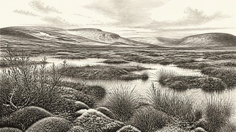
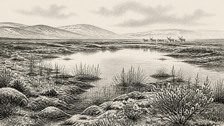
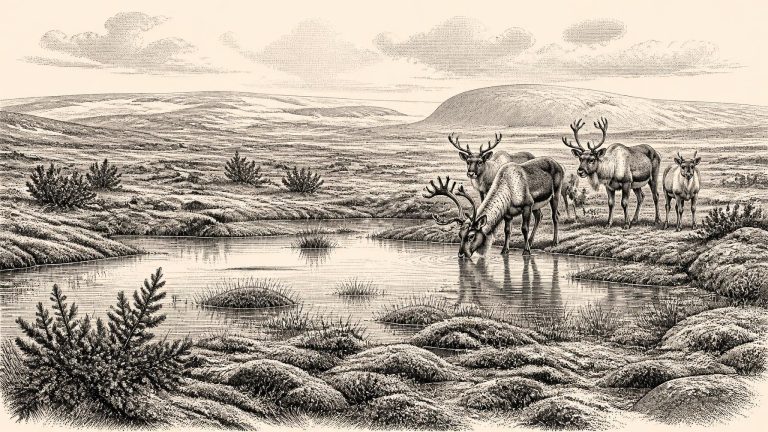
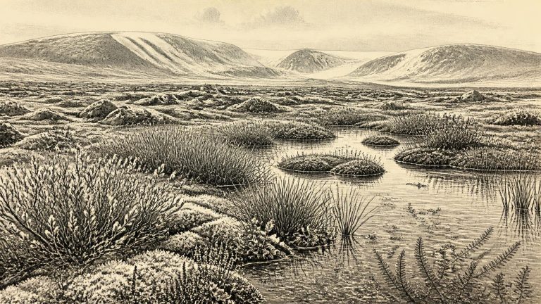
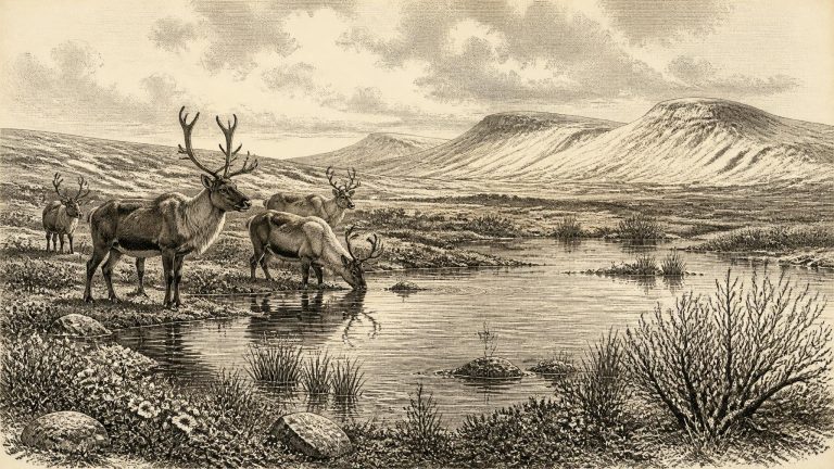
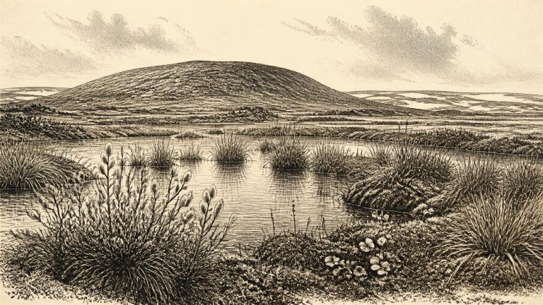
Derryvree is valuable because its organic silts were sealed between two tills: sediments left by advancing ice. Road works revealed a temporary environmental archive that would otherwise have been lost beneath later glacial deposits. Plant macrofossils, pollen, mosses and insect remains indicate open, treeless ground, with wet hollows, sedges, mossy vegetation and shallow freshwater. Bogbean and water-milfoil are among the plants that point to standing or slow-moving water. Juniper, dwarf willow, grasses and herbs belong to a low-growing vegetation cover rather than a wooded landscape.

Derryvree’s Intertill Flora

Derryvree’s Intertill Flora

Derryvree matters because it is an environmental archive physically bracketed by glacial deposits. The lower till records an earlier episode of ice activity; the freshwater sediments show that the locality later supported standing or slow-moving water and wet ground; the upper till shows that ice subsequently returned or overran the landscape. This sequence decisively rules out an image of Ireland as continuously buried beneath an unchanging ice sheet. At least in this part of Fermanagh, there was an ice-free interval sufficiently long for a wetland ecosystem to form, accumulate sediment and preserve its biological remains.

BIRM-166’s Cold Landscape

BIRM-166’s Cold Landscape

The most relevant evidence comes from Derryvree, near Maguiresbridge in County Fermanagh. Road construction in 1969 cut through a drumlin and revealed freshwater silts and fine sands caught between two thick layers of till, the unsorted debris left by glacier ice. The sequence provides a secure relative history. First, ice deposited the lower till. Later, in an ice-free local setting, standing or slow-moving freshwater accumulated sediment and organic matter. Finally, a renewed glacial advance laid down the upper till and sealed the older wetland beneath it.

30740–30731 BCE

Derryvree’s Intertill Pool

Derryvree’s Intertill Pool

The most informative Irish deposit close to this notional date lies at Derryvree, near Maguiresbridge in County Fermanagh. Roadworks in 1969 cut through a drumlin and exposed a remarkable sequence: glacial till below, then freshwater sands, silts and organic deposits, followed by another till. Tills are the unsorted mixture of clay, stones and debris left directly by glacier ice. Their position above and below the freshwater beds demonstrates a simple but important sequence. Ice had covered the locality; a later interval allowed water, plants and insects to accumulate in a basin; then renewed glaciation buried the evidence. The organic material yielded the radiocarbon determination BIRM-166, conventionally dated to 30,500 +1,170/−1,030 radiocarbon years BP. When calibrated, this is commonly expressed as a broad range of roughly 36,900–31,700 calibrated years BP, or about 34,950–29,750 BCE. Thus 30,731 BCE falls within the wider range illuminated by Derryvree, but cannot be fixed to a particular layer, season or generation.

Derryvree’s Tundra Margin

Derryvree’s Tundra Margin

The useful chronological language here is calibrated years before present, or cal BP, in which “present” means AD 1950. The Derryvree organic sediments produced a conventional radiocarbon determination of 30,500 BP, with a substantial error range. When calibrated, it has been discussed as broadly c. 36,900–31,700 cal BP: approximately 34,950–29,750 BCE. The notional date of 30,732 BCE falls within that wide span, but the range is far too large to connect the deposit to a single year, season or generation.

Fermanagh’s Sedgebed Interval

Fermanagh’s Sedgebed Interval

At Derryvree, roadworks exposed fine sands, organic silts and freshwater deposits lying between lower and upper tills. Till is the unsorted mixture of clay, stones and other debris laid down directly by glacier ice. The sequence establishes a clear order of events. Ice had first affected the locality; subsequently, water and organic sediment accumulated in an ice-free hollow; later glacier ice or ice-derived sediment covered and sealed that freshwater world.

Derryvree’s Sedgewater Fauna

Derryvree’s Sedgewater Fauna

The most informative Irish deposit for this period was found at Derryvree, near Maguiresbridge in County Fermanagh. Roadworks in 1969 cut through a drumlin and revealed a remarkable sequence: glacial till below, freshwater silts and fine sands with organic material in the middle, and another till above. Till is the unsorted debris laid down by glacier ice. The order of the layers establishes a local history with unusual clarity: ice had affected the area; conditions then permitted standing or slow-moving freshwater, sediment and vegetation to accumulate; later glacial activity buried the evidence.

Derryvree’s Milfoil Horizon

Derryvree’s Milfoil Horizon

The strongest chronological warning comes from Derryvree, near Maguiresbridge in County Fermanagh. Road works in 1969 cut through a drumlin and revealed fine sands, freshwater silts and organic layers enclosed between two thick tills: unsorted sediment laid down by glacier ice. The organic deposit produced the radiocarbon determination Birm-166, 30,500 +1,170/−1,030 radiocarbon years BP. That is not the same thing as a calendar age. Atmospheric carbon-14 levels have varied greatly, particularly in the distant past, so radiocarbon measurements must be calibrated against independently dated records.

Derryvree’s Buried Pond

Derryvree’s Buried Pond

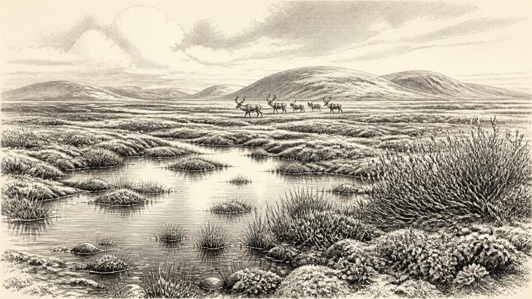
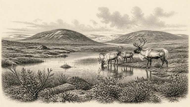
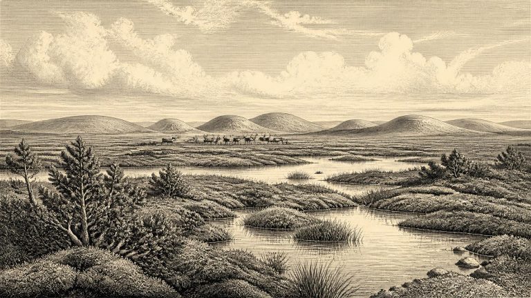
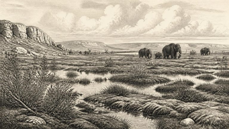
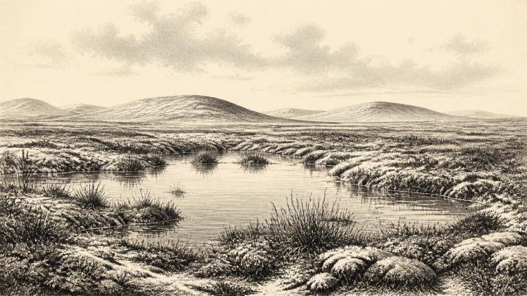
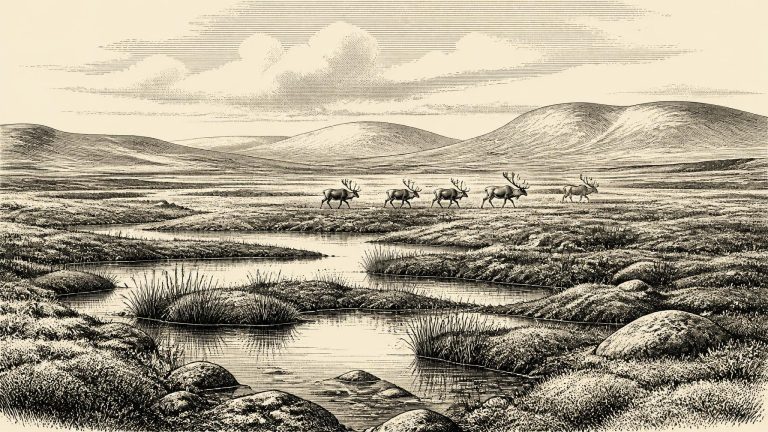
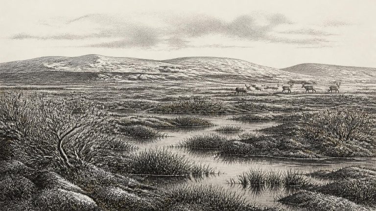
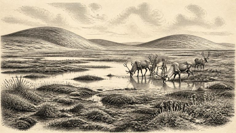
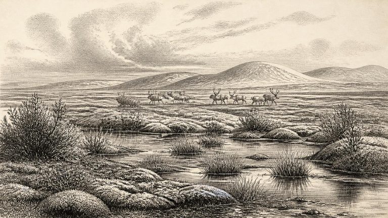
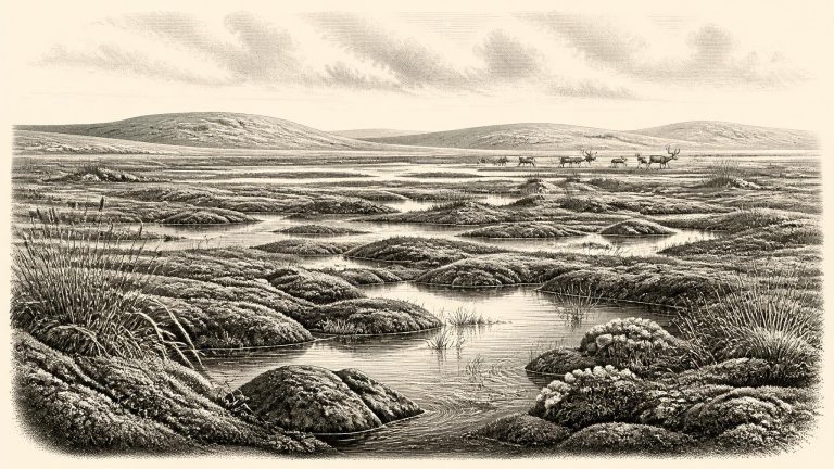
The Derryvree sediments provide the clearest responsible picture of one Irish locality around this very remote period. Their plant and animal remains indicate an open tundra or tundra-like mosaic under periglacial conditions: ground repeatedly affected by hard frost, thaw, sparse cover and short growing seasons. This was not a forested Ireland, nor necessarily an unbroken white wilderness. It was a landscape in which vegetation could occupy wet hollows and sheltered ground while severe cold shaped the wider terrain.

Castlepook’s Butchered Reindeer

Castlepook’s Butchered Reindeer

30,737 BCE is roughly 32,700 years before the conventional 1950 radiocarbon reference year, but this comparison must not be mistaken for an exact correlation. Radiocarbon ages require calibration, and calibration in this period commonly produces ranges rather than a single calendar date. The Derryvree organic deposit has long been associated with a radiocarbon determination of about 30,500 BP. That is an uncalibrated radiocarbon age, not a proof that its plants were growing in the numbered calendar year 30,737 BCE. It nevertheless places the deposit in the same broad middle-to-late MIS 3 world relevant here.

Derryvree’s Muskeg Interval

Derryvree’s Muskeg Interval

Radiocarbon ages are not calendar dates. They measure remaining radioactive carbon and must be calibrated against independently dated records; beyond 30,000 years ago, the resulting calendar ranges are necessarily broad. The key Irish deposit for this approximate horizon was exposed in 1969 at Derryvree townland, about two kilometres north-east of Maguiresbridge in County Fermanagh. Roadworks cut through a drumlin, revealing freshwater silts and fine sands with organic material trapped between two thick sheets of glacial till. The order of the deposits is clear: ice laid down one till, an ice-free interval allowed water and organic sediment to accumulate, and a later glacier covered the site with another till.

Mammoth Cave’s Uncertain Hunters

Mammoth Cave’s Uncertain Hunters

Calendar years BCE are useful editorial tools, but radiocarbon laboratories report ages in years before present, where “present” conventionally means AD 1950. Those radiocarbon ages must then be calibrated against independently dated records of past atmospheric carbon. Around 30,000 radiocarbon years ago, calibration is especially important: radiocarbon and calendar time differ by several millennia, and ranges are broad. It is therefore better to say that deposits, animals or climatic episodes belong to intervals of the late Pleistocene than to assign them to 30,739 BCE as though a contemporary annal survived.

Cork’s Incised Reindeer

Cork’s Incised Reindeer

Ireland around this broad interval was part of a markedly colder north-west European world, but it should not be imagined as permanently buried beneath an unbroken sheet of ice. The Last Glacial Maximum lay ahead, with the British–Irish Ice Sheet reaching its greatest overall extent much later, broadly between about 26,000 and 19,000 years ago. Ice growth was regional, episodic and difficult to reconstruct because later glaciers repeatedly eroded or covered older landscapes. Conditions in Cork, Fermanagh, the Irish Sea basin and upland districts need not have been identical at the same moment.

30750–30741 BCE

Castlepook’s Spotted-Hyaena Landscape

Castlepook’s Spotted-Hyaena Landscape

The numbered year lies broadly within the Irish Middle Midlandian, the local term traditionally used for part of the Late Pleistocene cold stage. It should not be imagined as a fixed point on a settled national map. Ireland’s position at the north-western edge of Europe made its climate especially sensitive to the waxing and waning of the British–Irish Ice Sheet, Atlantic conditions and abrupt shifts in the wider North Atlantic climate system. A place could be ice-free in one interval, acquire a marsh or shallow lake, and later be overwhelmed or buried by glacial deposits.

BIRM-166’s Freshwater Archive

BIRM-166’s Freshwater Archive

Derryvree was revealed by road works in 1969, when a cutting through a drumlin exposed a remarkable sequence. Fine sands, freshwater silts and organic deposits lay between two tills: stony sediments left by separate episodes of glacial ice. This order of layers is important. It shows that an earlier ice advance had been followed locally by conditions in which water and living communities occupied the ground, before a later advance buried the landscape beneath fresh glacial debris. The deposit is a rare survival because later ice, meltwater and erosion destroyed or concealed so much older evidence across Ireland.

Castlepook’s Gallery of Aged Carnivores

Castlepook’s Gallery of Aged Carnivores

In the Greenland ice-core sequence, this broad period lies close to the opening of Greenland Stadial 5, an interval of pronounced North Atlantic cold beginning around 32,500 years before AD 2000. That designation belongs strictly to the Greenland ice record, not to an Irish layer, but it helps convey the wider climatic setting: the North Atlantic was unstable, with abrupt shifts between colder and comparatively milder phases. Ireland stood on the north-western edge of Europe, exposed to those changes and to the fluctuating growth of the British–Irish Ice Sheet.

BIRM-166 and Open Water

BIRM-166 and Open Water

Derryvree was exposed during road works in 1969, when a cutting passed through a drumlin: one of the streamlined hills of till that now characterise much of Fermanagh. Beneath and above the organic sediments lay separate till sheets, unsorted mixtures of clay, stones and debris deposited by glacier ice. Between them were fine sands, silts and organic material formed in fresh water and wet ground. The sequence establishes an important fact. Ice had occupied this locality, then an interval existed in which water, plants and small animals could flourish, and later ice or ice-derived sediment sealed the record.

Maguirebridge’s Mossy Interlude

Maguirebridge’s Mossy Interlude

The most revealing Irish evidence near this notional date comes from Derryvree townland, about two kilometres north-east of Maguiresbridge in County Fermanagh. Road excavations in 1969 cut through a drumlin and exposed an exceptional sequence: glacial till below, freshwater silts and fine sands with organic material in the middle, and a second thick till above. Till is unsorted clay, stones and debris deposited directly by glacier ice. The order of the layers establishes a simple environmental history. Ice had occupied the locality; later, an interval without ice at that spot permitted freshwater sediment and organic remains to gather; eventually, renewed glaciation buried the deposit.

Derryvree’s Silt-Bound Tundra

Derryvree’s Silt-Bound Tundra

At Derryvree, roadworks in 1969 cut through a drumlin and exposed an unusual sequence. Beneath the rounded hill lay one thick till, then freshwater silts and fine sands rich in organic material, followed by another thick till. Till is the unsorted debris left directly by glacial ice. The order of these deposits is decisive: ice had crossed the locality; an interval then allowed water, mud, plants and insects to accumulate; and a later advance of ice sealed the wetland beneath new glacial sediment.

The Derryvree Road-Cut

The Derryvree Road-Cut

The closest particularly informative Irish record is at Derryvree, near Maguiresbridge in County Fermanagh. In 1969, a road cutting exposed a drumlin—a streamlined hill shaped by glacier ice—with thick glacial tills above and below a bed of freshwater silts, fine sands and organic matter. The organic layer produced the radiocarbon determination BIRM-166, 30,500 +1,170/−1,030 radiocarbon years BP. That is an age for material within a deposit accumulated over time, not a timestamp for one day, one generation or even one century.

Maguirebridge’s Dwarf Willow Record

Maguirebridge’s Dwarf Willow Record

The key northern record was exposed during roadworks in 1969 at Derryvree townland, about two kilometres north-east of Maguiresbridge. Workers cut through a drumlin: a streamlined hill largely built of glacial sediment. Beneath one sheet of till, the unsorted debris left by ice, lay fine sand, freshwater silt and organic material; another till sheet sealed the deposit above. The sequence has a straightforward but powerful implication. Ice had occupied the locality, then a non-glacial interval allowed a wetland or shallow-water environment to form, before a later glacier overrode and buried it.

The Castlepook Femur Debate

The Castlepook Femur Debate

At this depth of time, even the language of dates needs care. A radiocarbon result is not automatically a calendar age: atmospheric carbon levels changed in the past, so radiocarbon determinations must be calibrated against independently dated environmental records. The IntCal20 curve extends that work back to 55,000 calibrated years before present, but its ranges can remain wide. A BCE conversion adds another layer of apparent precision. Thus 30,749 BCE should be read as an approximate chronological filing point, not as the anniversary of an Irish hunt or settlement.

Maguiresbridge Road-Cut Wetland

Maguiresbridge Road-Cut Wetland

30,750 BCE is a modern chronological label, not a recoverable year in Ireland’s deep past. No Irish community then used a calendar known to archaeology, and no deposit, bone or landform can be assigned responsibly to that single year. In the conventional framework of years before present, measured from AD 1950, the label falls at roughly 32,700 calibrated years BP, within the Late Pleistocene and Marine Isotope Stage 3 (MIS 3). This was part of the last Ice Age: a long and climatically volatile interval, not one unchanging frozen age. The evidence is strongest for broad environmental conditions and animal life; it is markedly weaker for people. The appropriate history of Ireland at this point is therefore one of dates with wide margins, buried sediments, cave bones and the changing limits of ice.