Membership is completely free, giving members unlimited access to all available resources, services, features, and benefits without any restrictions or fees.
Welcome back. Sign in to continue enjoying unlimited access to all available resources, services, features, and member benefits at no cost.
This was part of the last Ice Age, but not yet the fullest and best-known expansion of the British–Irish Ice Sheet. MIS 3 was climatically unstable. Across the North Atlantic, colder stadial intervals alternated with relatively milder interstadials on millennial timescales. These shifts affected snowfall, ice margins, river regimes, vegetation and the routes available to animals. Greenland ice cores provide the principal framework for recognising this abrupt variability, but their numbered Greenland events should not be treated as exact Irish weather reports. Irish deposits are too sparse, and their dating too broad, to attach a precise local climatic phase to 31,680 BCE.
In 1969 roadworks cut through a drumlin at Derryvree and exposed an extraordinary sequence: freshwater silts and fine sands, rich in organic material, lying between two thick layers of till. Till is sediment deposited directly by ice. The intervening beds therefore preserve an interval when a wetland existed in a landscape later overridden or enclosed by glacial deposits. Organic material from the freshwater series returned a conventional radiocarbon age of 30,500 +1,170/−1,030 years BP. Calibration places it within a broad late-MIS 3 range, approximately 36,900–31,700 cal BP. The modern label 31,681 BCE falls within that wide span, but cannot be tied to a particular layer, day or event.
Modern Ireland did not yet exist as a political community, a cultural region with recorded traditions, or a settled landscape of farms, roads and monuments. There were no kingdoms, diplomatic agreements, battles, shrines, markets or written learning to describe. Nor is there evidence from this period for a securely established human population on the island. The historical record is geological and biological: sediments trapped beneath later ice, pollen grains, plant macrofossils, insect remains, cave bones, isotope measurements and the landforms left by glaciers.
The closest environmental evidence comes from deposits whose ages overlap this notional year. At Derryvree near Maguiresbridge in County Fermanagh, roadworks in 1969 cut through a drumlin and revealed freshwater silts and fine sands trapped between two sheets of glacial till. The organic deposit produced a conventional radiocarbon determination of 30,500 years before present, with a substantial error range. When expressed in calibrated terms, the evidence is commonly placed broadly between about 36,900 and 31,700 calibrated years before present. That is a span of millennia, but it securely makes Derryvree one of the most important Irish windows onto the cold landscape relevant to 31,683 BCE.
The best Irish evidence nearest this horizon comes not from a settlement but from sediments. At Derryvree, near Maguiresbridge in County Fermanagh, road works exposed organic silts and fine sands enclosed between two distinct sheets of glacial till. The lower till shows that ice had previously crossed the district; the upper till records a later advance. Between them lies evidence for a period when water, plants and animals occupied an ice-free local landscape. A conventional radiocarbon determination of 30,500 years BP from the organic sequence has been calibrated broadly to roughly 36,900–31,700 calibrated years BP. Thus 31,684 BCE sits at the younger end of that wide range, but cannot be tied securely to one layer, one season or one human visit.
Radiocarbon results are not calendar dates read directly from bone, peat or wood. Carbon-14 concentrations in the atmosphere changed through time, so laboratory measurements must be calibrated against independently dated records. At more than 30,000 years ago the resulting calendar ranges are wide. Stratigraphy matters equally: a bone can be moved by water, scavengers or excavation; organic sediment can be reworked; and a cave can preserve material accumulated in many separate episodes. Accordingly, a scientifically honest account of 31,685 BCE should use ranges and relative sequences rather than attach a hunt, migration or climatic episode to one imagined year.
The most useful Irish environmental sequence for this broad interval is at Derryvree near Maguiresbridge, County Fermanagh. Roadworks exposed freshwater silts and sands sealed between two layers of glacial till: evidence first of ice, then of a period in which water and sediments accumulated in an ice-free or locally ice-marginal landscape, and finally of renewed glaciation. Organic material from the freshwater beds returned a radiocarbon age of about 30,500 radiocarbon years before present. Calibration gives a much wider calendar range, approximately 36,900–31,700 calibrated years BP. The modern label 31,686 BCE falls within that span, but close enough neither to its beginning nor end to justify treating Derryvree as a snapshot of one year.
At this depth of time, radiocarbon dating produces ranges rather than anniversaries. A laboratory measures the remaining carbon-14 in suitable organic material; because atmospheric carbon-14 has varied greatly through time, the result must be calibrated against internationally maintained reference curves. Uncertainties in the original measurement, contamination, the nature of the sample and irregularities in the calibration curve all matter. A bone date normally estimates when the animal died, while a layer of silt may represent accumulation over years, centuries or longer. Neither can identify a named event in a numbered BCE year.
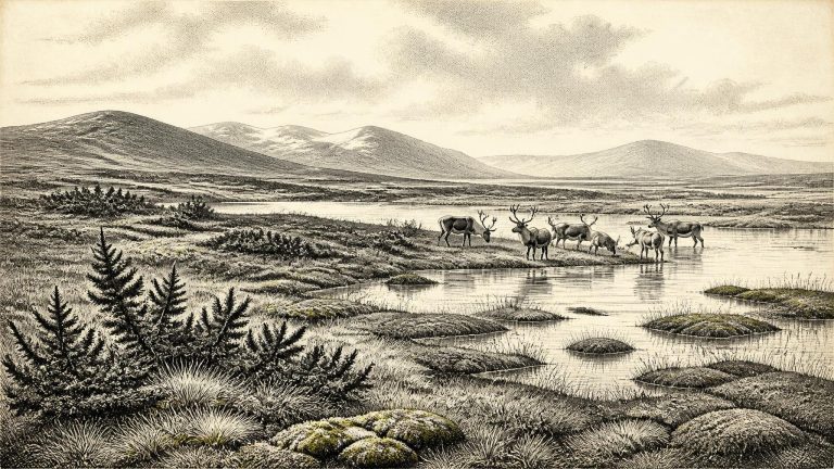
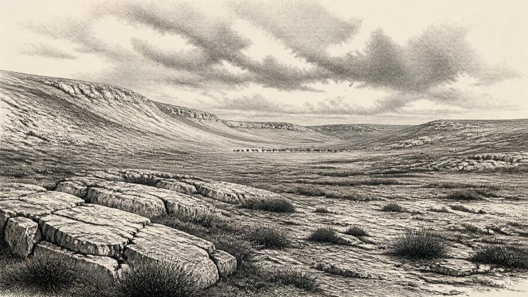
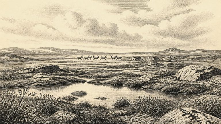
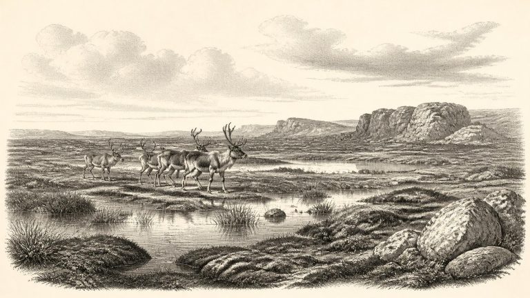
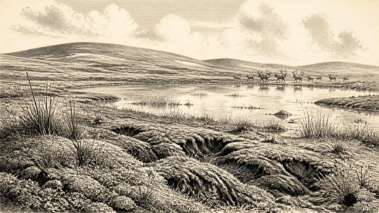
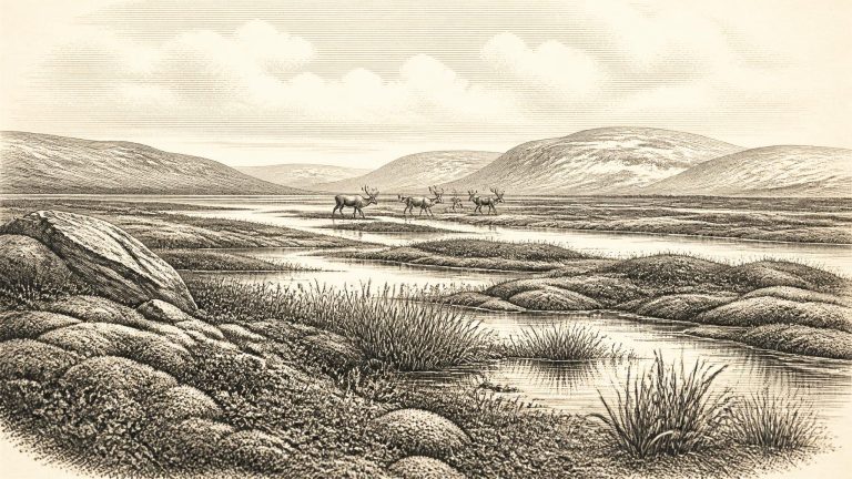
At about 33,600 calendar years before 1950, Ireland had not yet reached the fullest extent of the last British–Irish Ice Sheet. The Last Glacial Maximum lay ahead, principally in the later period around 27,000 to 20,000 years ago, although glacier growth and the precise position of ice margins varied greatly by region and remain subjects of active research. Ireland was consequently neither a uniformly ice-covered blank nor a benign green island. It was part of a northern, cold-stage world in which conditions altered sharply over millennia and sometimes much more quickly. The evidence supports a changing mosaic of ice, exposed ground, river systems, lake or wetland basins, sparse vegetation and local habitats capable, at intervals, of sustaining large mammals.
Radiocarbon measurements are reported in radiocarbon years before present and must be calibrated against changing levels of atmospheric carbon-14 to produce calendar ranges. At more than thirty millennia ago those ranges can be broad. The modern IntCal20 calibration curve is designed for Northern Hemisphere terrestrial samples back to 55,000 calendar years before present, but it does not transform an Ice Age specimen into evidence for a named year. A date written as 31,689 BCE should consequently be read as a point within a much wider span, not as an anniversary in prehistoric Ireland.
Radiocarbon results of this antiquity are not calendar dates. Birm-166, taken from Derryvree organic silts, produced a determination of 30,500 radiocarbon years before present, with a substantial uncertainty of +1,170 and −1,030 years. Calibration is necessary because atmospheric carbon-14 has varied through time. Later scholarship places the result broadly within c. 36,900–31,700 calibrated years before present. That broad span includes the modern reference-point of 31,690 BCE, but it emphatically does not turn the Derryvree deposits into a record of one year, one generation, or even one unbroken century.
The distinction between radiocarbon years and calendar years matters particularly here. Radiocarbon ages are measured against the conventional present of AD 1950 and must be calibrated because atmospheric carbon levels have varied over time. Beyond the range covered by annually dated tree rings, the resulting calendar estimates are necessarily less fine-grained. A single measurement from an old Irish deposit should not be translated into an exact BC year and then treated as a date on a diary page.
Ireland was in an Ice Age, but it was not simply a white, unchanging land buried beneath ice. The British–Irish Ice Sheet repeatedly altered its shape, size and flow during the last glacial cycle. At Derryvree, the lower till records an earlier episode when ice affected the locality. The organic-rich freshwater beds above it demonstrate that, for a time, the site was not beneath actively moving ice. An upper till subsequently sealed the deposit, preserving an interval of cold, ice-free or ice-marginal ground between glacial episodes.
At Derryvree, roadworks in 1969 cut through a drumlin and exposed a remarkable sequence: glacial till below, freshwater silts and fine sands with organic material in the middle, and a further body of till above. The order matters. Ice had occupied the locality before the freshwater sediments accumulated; later ice crossed it again and sealed the deposit beneath the drumlin. The site is thus powerful evidence for environmental change, but it does not provide a map of the whole island at 31,693 BCE.
“31,694 BCE” is a useful modern filing point, not a date at which an event can be assigned to Ireland. No written record, named individual, settlement sequence or archaeological layer can resolve a particular Irish year so far back. In scientific terms the point falls at roughly 33,600 calibrated years before present (cal BP, where “present” is AD 1950), within Marine Isotope Stage 3, a long and climatically unstable portion of the last glacial cycle. At this depth of time, radiocarbon dates come with substantial ranges and are periodically revised as laboratory methods and calibration curves improve. Modern IntCal20 calibration extends to 55,000 cal BP, but it does not turn a bone, pollen sample or silt bed into a diary entry.
At this point in the last Ice Age, Ireland was moving towards, but had not yet reached, the maximum expansion of the British-Irish Ice Sheet. The Last Glacial Maximum is generally placed at about 26,500–19,000 calibrated years BP, much later than the date considered here. Evidence for the earlier build-up of ice is complex and remains debated from region to region. Yet dated deposits beneath till show that substantial areas of Ireland had remained ice-free during parts of MIS 3. The important point is not that every valley was open at the same time, but that the familiar picture of an island wholly buried beneath ice does not fit this earlier interval.
The distinction between radiocarbon years and calendar years matters especially here. Atmospheric carbon-14 has not remained constant through time, so a laboratory radiocarbon result is not automatically a calendar age. The internationally maintained IntCal20 calibration curve extends to 55,000 calendar years before present, but uncertainty increases greatly in this older portion of the record. A date written as 31,696 BCE should therefore be read as a place in a very long sequence, not as a sharply defined historical moment.
There was no Ireland in the political or cultural sense meant by later history. No evidence identifies chiefs, kingdoms, diplomacy, warfare, ethnic groups, religious institutions, languages, trade networks or named settlements at this date. Nor is there evidence for farming, domestic animals, pottery, metalworking, monuments or permanent villages. Those absences matter. They do not prove that every part of the island was empty at every instant, but they do mean that claims about political affairs, social hierarchy, ritual or everyday human life would exceed what the archaeology can responsibly sustain.
Derryvree was revealed in a 1969 road cutting through a drumlin. Beneath one body of glacial till and above another lay fine sands and organic-rich silts: the remains of a freshwater environment preserved between episodes of ice-sheet activity. The laboratory determination known as Birm-166 gave an age of about 30,500 radiocarbon years before present. Radiocarbon years are not calendar years, and modern calibration produces the broader range used by later researchers. That distinction matters. The deposit supplies evidence that this part of Fermanagh was ice-free during some portion of the range, not proof that conditions were identical throughout it or on every part of Ireland.
The most useful Irish environmental evidence comes from Derryvree near Maguiresbridge in County Fermanagh. Road works in 1969 exposed freshwater silts and fine sands trapped between two layers of glacial till within a drumlin. The organic deposits produced a radiocarbon determination of 30,500 ± c.1,100 radiocarbon years before present. When calibrated, that determination has been expressed as a wide range of approximately 36.9–31.7 thousand calendar years before present. The modern date 31,699 BCE falls near the younger end of that range, but it cannot be narrowed to a season, generation or individual year.
This distinction matters. Radiocarbon years are not the same as calendar years, because atmospheric carbon-14 has varied through time. Calibration curves such as IntCal20 convert measurements into probability ranges, and uncertainty increases at this depth of time. Further complications arise because a sample dates the death of an organism or the formation of a deposit, not necessarily the human or animal activity with which it may later be associated. A calendar-year article can therefore offer a carefully bounded portrait of conditions around the date, but it must not pretend that 31,700 BCE has the documentary clarity of a medieval annal.
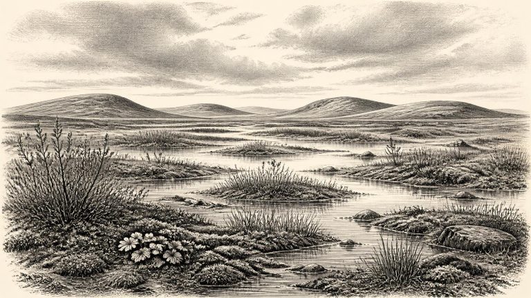
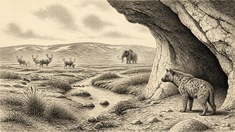
Later MIS 3 was not a single, unchanging freeze. Greenland ice-core records show repeated abrupt shifts between colder stadial conditions and relatively milder interstadials across the North Atlantic world. Ireland’s local evidence is too sparse to assign a precise Irish weather pattern to 31,701 BCE, but it is reasonable to see the country within a cold, highly variable climatic regime rather than as either permanently ice-covered or permanently temperate. Open ground, sparse vegetation, exposed soils and seasonally severe conditions formed the broad environmental setting in the periods represented by southern Irish fossil assemblages.
This was an Ice Age world, but not yet simply the fully ice-covered Ireland often imagined for the Last Glacial Maximum. The British–Irish Ice Sheet grew and changed unevenly, with different sectors advancing and retreating at different times. Recent reconstructions place major expansion across the wider ice sheet between about 31,000 and 22,000 years before present, with maximum ice volume later, around 23,000 years ago. Thus, around 33.6 ka BP, Ireland was moving towards a colder and more unstable phase, but the precise extent of glacier ice in every Irish region cannot be recovered.
This was an age of pronounced climatic instability, long before the last Irish ice sheet reached its fullest extent. A widely used reconstruction places the major build-up of the British–Irish Ice Sheet after about 35,000–32,000 years ago, with maximum ice extent later, broadly between 27,000 and 21,000 years ago. That framework does not mean that every part of Ireland followed one timetable. Ice masses, margins, rivers, lakes and coastal environments altered at different times in different regions. Around the modern calendar label of 31,703 BCE, Ireland was entering a colder phase in which glaciation was becoming increasingly important, but its precise local reach remains debated.
Radiocarbon and other scientific dates are estimates with ranges, not timestamps. At about 34,000 calibrated years ago, calibration itself is technically challenging: atmospheric radiocarbon varied over time, and the conversion from a radiocarbon measurement to calendar years depends on calibration curves and stated probability ranges. Older Irish cave collections bring a further problem. Many were excavated before present-day recording standards, so the original position of a bone within a deposit, and its relationship to other material, can be uncertain. A date on bone establishes when the animal died within a statistical range; it does not automatically date an apparent cut, a human visit, or a whole occupation.
In modern geographical terms Ireland was already an island, though its coastlines, neighbouring seas and possible routes of animal movement differed profoundly from those of today. Global sea level was lower during the Ice Age, exposing substantial areas of the continental shelf, but that does not establish a simple dry-land crossing between Ireland and Britain. Geological reconstructions have long treated an enduring Irish Sea land bridge with caution; routes, if available at all, depended upon local ice, water depth, shifting shorelines and short-lived environmental conditions. Animals evidently reached Ireland in some phases of the Pleistocene, but their presence cannot by itself demonstrate the route taken or prove that humans followed them.
Radiocarbon dates are not calendar dates in themselves. The concentration of radioactive carbon in the atmosphere has varied over time, and especially so during the Pleistocene. Dates must therefore be calibrated against internationally maintained curves, including IntCal20. At around 30,000 radiocarbon years ago the relationship between radiocarbon age and calendar age is particularly complex. A result may calibrate to a broad range, sometimes with several possible intervals. Stratigraphy—the physical order of layers—remains as important as the numerical determination.
The label “31,707 BCE” should not be treated as a pin fixed precisely into a sediment layer. Radiocarbon dates measure the decay of carbon-14 and must be calibrated against changing atmospheric carbon levels before they can be expressed as calendar-age ranges. IntCal20, the internationally used Northern Hemisphere calibration framework, reaches back to 55,000 calibrated years before present, but its older sections rely on several kinds of natural archive rather than annually resolved tree rings. This makes it especially important not to convert a prehistoric date into an imagined day, season, or political generation.
Ireland was in the long approach to the Last Glacial Maximum, rather than at its peak. Recent syntheses place major British–Irish Ice Sheet growth after roughly 35–32 thousand years ago, with maximum overall extent later, conventionally around 27–21 thousand years ago. Yet an advancing ice sheet was not a simple, steady white front. Ice margins could expand, thin, retreat and reorganise; sea level, drainage and the availability of vegetation altered with them. On western Irish evidence, substantial ice loading and high relative sea level occurred at intervals between about 40 and 19 calibrated thousand years ago, while a rapid ice-margin fluctuation is recorded around 28 calibrated thousand years ago. The exact distribution of ice and ice-free ground at any moment around 33.7 thousand years ago remains debated.
Ireland was not yet at the full extent of the last British–Irish Ice Sheet. The later maximum, broadly around 27,000–23,000 calibrated years before present in reconstructions of Ireland and its continental shelf, would bury or transform much of the country. Around the notional year used here, ice, climate and sea level were already changing on a continental scale, but the pattern was regionally uneven. Some ground was ice-free; other areas may have been affected by advancing ice or severe periglacial conditions, in which repeated freezing and thawing shaped exposed soils and sediments.