Membership is completely free, giving members unlimited access to all available resources, services, features, and benefits without any restrictions or fees.
Welcome back. Sign in to continue enjoying unlimited access to all available resources, services, features, and member benefits at no cost.
The closest major Irish environmental archive is at Derryvree near Maguiresbridge in County Fermanagh. Road works there exposed organic-rich freshwater silts and fine sands trapped between two layers of glacial till: deposits left by ice at different times. The Derryvree organic beds produced a radiocarbon measurement of 30,500 years BP, with a substantial uncertainty. When assessed against modern calibration, the evidence has been placed broadly within c. 31.7–36.9 thousand calibrated years BP. That range encompasses the modern calendar label used here, but it does not make Derryvree a snapshot of 31,743 BCE. It identifies an interval during which a freshwater environment existed in south Fermanagh between glacial advances.
Radiocarbon results are not calendar dates read directly from a specimen. They measure remaining radiocarbon and must be calibrated against independent records of past atmospheric carbon-14. The internationally used IntCal20 curve extends this work to 55,000 calendar years before present, but uncertainty remains substantial in the distant past. A date such as 31,744 BCE should therefore be treated as an approximate point within a calibrated chronology, not as evidence for an event on an exact winter’s day or summer’s evening.
The conversion of a BCE year into an Ice-Age age is necessarily approximate. Radiocarbon years are not calendar years: changing concentrations of atmospheric carbon-14 mean that laboratory results must be calibrated against an internationally maintained curve. IntCal20 extends calibration back to 55,000 calendar years before present, but its results are probability ranges rather than annual timestamps. Consequently, “31,745 BCE” should be understood as an editorial point within the mid-34th millennium before present, not as proof that a specific event occurred on that date.
Ireland at this notional date was neither the familiar wooded island of later prehistory nor necessarily an island wholly buried beneath the final great ice sheet. The global Last Glacial Maximum is conventionally placed at about 26.5–19 thousand calendar years before present, later than 31,746 BCE. Research on the British–Irish Ice Sheet shows that its advance and retreat varied greatly from region to region; a single map cannot safely represent all of Ireland throughout MIS 3. Southern and western coastal deposits, caves and buried sediments instead preserve glimpses of changing local conditions before the ice sheet reached its later maximum.
This was well before the Last Glacial Maximum, conventionally dated in north-west Europe to roughly 26,000–19,000 calibrated years before present, when ice was at its greatest. It was also before the British–Irish Ice Sheet reached its overall maximum volume, reconstructed at about 23,000 years ago. That does not mean that the whole island enjoyed mild or stable conditions. Ice sheets and glaciers grew and retreated unevenly, while cold phases, windblown sediment, frozen ground and rapid climatic shifts repeatedly changed the terrain. Modern reconstructions indicate that the final great ice advance was underway on a regional scale over the following millennia, but its precise footprint at any one moment remains difficult to establish.
31,748 BCE is not a year that can be recovered from an Irish chronicle, a royal list or an archaeological diary. It is a modern calendar label, equivalent to roughly 33,700 years before AD 1950, the conventional “present” used in radiocarbon science. At this depth of time, precision to a single calendar year is unavailable. The responsible approach is to place the date within broad calibrated ranges, archaeological phases and environmental sequences. Around this point Ireland belonged to Marine Isotope Stage 3, part of the last cold stage known locally as the Midlandian. It was a world before Irish farming, monuments, metalworking, writing or any demonstrable political community.
Ireland’s geography was profoundly different from that of the modern island. Global sea levels were far lower during the last glacial cycle, exposing broad continental shelves around Britain and Ireland. The Irish Sea and Celtic Sea basin did not form the familiar marine barriers of today in the same way; connections across low-lying terrain could open or narrow as sea level, river systems and ice margins changed. This did not mean an easy or permanent land bridge, nor does it prove a particular route taken by animals or people. It does mean that Ireland belonged to a wider western European ecological zone, rather than being the isolated island of later prehistory and history.
Radiocarbon dates are not calendar dates. A measurement on organic material gives an estimate in radiocarbon years before present, with “present” conventionally fixed at 1950. It must then be calibrated against records of past atmospheric carbon-14 variation. At around 34,000 calendar years ago, calibrated estimates are necessarily broad, and the results depend on the material, its preservation and the quality of its archaeological or geological context. The modern IntCal20 curve reaches this period, but it does not turn a single bone or silt layer into an annual chronicle.
MIS 3 was not a single, uniform cold spell. Across the North Atlantic world it contained abrupt millennial-scale shifts between colder stadials and relatively milder interstadials. Ireland lay at the Atlantic edge of those changes. Its climate, vegetation, sea margins and the extent of local ice could alter profoundly over periods far shorter than the age of the deposits now used to reconstruct them. It would be misleading to picture 31,751 BCE either as an entirely ice-covered wilderness or as a stable grassland awaiting later settlement.
The distinction between a radiocarbon age and a calendar age matters especially here. Radiocarbon years are calculated from the remaining carbon-14 in once-living material; they are not identical to calendar years. They must be calibrated against a curve that models changing atmospheric carbon-14 levels. IntCal20 extends such calibration to 55,000 calendar years before present, but its older sections draw on several natural archives and carry meaningful uncertainty. A date expressed as 31,752 BCE may be useful for arranging an archive, but it must not imply that Ireland’s climate, coastlines or inhabitants can be described with annual precision.
The numbered year falls well before the Last Glacial Maximum, conventionally dated at about 26,500–19,000 calibrated years before present (cal BP), when the British–Irish Ice Sheet reached its greatest overall extent. It should not, however, be imagined as a mild prelude to an otherwise distant ice age. MIS 3 was marked by abrupt climatic oscillations across the North Atlantic world, and Irish conditions changed over centuries and millennia. Some districts may have held small glaciers or expanding ice masses while others retained ice-free ground, freshwater hollows and open vegetation. The exact outlines of ice at roughly 33.7 ka BP remain uncertain, because later glaciers eroded, buried and rearranged much of the earlier landscape.
The key evidence comes from Derryvree, near Maguiresbridge in County Fermanagh. Road works in 1969 cut through a drumlin and revealed freshwater silts and fine sands sealed between two separate sheets of glacial till. The organic deposit produced a radiocarbon determination of 30,500 +1,170/−1,030 radiocarbon years BP. Radiocarbon years are not calendar years: changing atmospheric carbon levels mean that they must be calibrated against independent records. Published calibration of this legacy measurement gives a broad range of about 36,900–31,700 calendar years BP. Thus 31,754 BCE falls within the outer edge of a range relevant to the Derryvree sediments, not at a pinpoint in their formation.
About 33,700 years ago, Ireland was entering the major expansion phase that led towards the Last Glacial Maximum. A widely used chronological model places the build-up of the British–Irish Ice Sheet after about 35,000–32,000 years ago, with its broad maximum later, approximately 27,000–21,000 years ago. More recent reconstructions, built from extensive marine geophysics and hundreds of new dates, likewise show that the ice sheet was dynamic, growing in different sectors at different times rather than advancing as one uniform frozen blanket.
The distinction between calendar years and archaeological dates is especially important here. Radiocarbon determinations are reported in years before present (BP), where ‘present’ means AD 1950, but atmospheric radiocarbon levels changed through time. A radiocarbon age must therefore be calibrated against an internationally maintained curve, and at c. 30,000–35,000 radiocarbon years BP the resulting calendar ranges may be broad and sometimes irregular. A numbered BCE year can be useful for arranging an annual archive, but it must not suggest the false precision of a diary entry.
Calendar precision is unavailable. An animal bone can be dated, within statistical limits, to the time when the animal died; it cannot by itself identify the season, the people who may have handled it, or an event in a numbered year. Calibration curves are essential because the concentration of atmospheric radiocarbon has changed through time, and the far past contains substantial uncertainty. Recent reassessment has also shown why older Irish cave dates require caution: improved pretreatment and ultrafiltration of bone collagen made several Castlepook results thousands of radiocarbon years older than earlier determinations. The date label used here is useful only as a navigational point within a broad, calibrated late-Pleistocene interval, not as a claim of exact chronology.
At this depth of time, radiocarbon determinations must be calibrated against changing atmospheric carbon-14 levels. A laboratory age expressed in radiocarbon years before present is therefore not identical to a calendar age, and the calibrated result is normally a range rather than a single point. The distinction matters especially around 34,000 years ago, where calibration uncertainty can be substantial. The year heading should consequently be understood as a convenient place in a modern timeline, not as evidence that a particular hunt, migration or climatic episode happened in one named year.
The closest chronological guide comes from deposits beneath later glacial till in County Fermanagh. At Derryvree, near Maguiresbridge, organic silts and fine sands were laid down in freshwater conditions before being overridden by ice. Their radiocarbon determination, Birm-166, was reported as 30,500 radiocarbon years BP with a substantial uncertainty; older calibration placed the deposit broadly within c. 36,900–31,700 calibrated years BP. That wide interval embraces 33.7 thousand years ago. It does not date a single season, settlement or animal death, but it securely shows that a cold, organic-rich wetland existed in north-central Ireland during this portion of the Late Pleistocene, before later ice sealed it beneath till.
MIS 3, conventionally dated to roughly 57,000–29,000 years ago, was not one uniform deep freeze. Greenland ice-core records and North Atlantic research reveal abrupt shifts between relatively milder interstadials and severe stadials. The British–Irish Ice Sheet also waxed and waned unevenly. Reconstructions indicate substantial ice-sheet growth after about 31,000 years before present, culminating later, with the principal British–Irish maximum around 27,000–23,000 years ago. That broad sequence makes 31,760 BCE a threshold in geological terms: well before the fullest Last Glacial Maximum, but within the long approach to it.
Even the conversion between radiocarbon and calendar time needs care. Radiocarbon years are not calendar years: atmospheric carbon levels changed through time, so laboratory measurements must be calibrated against international curves. For ages as old as this one, the calibration curve itself is built from several independently dated archives, including speleothems, lake sediments, corals and floating tree-ring sequences. The result is indispensable but not year-level precision. Dates should be read as probability ranges, while the relationship between an old bone, the sediment enclosing it and any marks upon it may involve further uncertainty.
Derryvree was exposed during roadworks in 1969, when a section through a drumlin revealed organic silts and fine sands between two separate layers of glacial till. The material was assigned the laboratory number Birm-166 and produced a radiocarbon age of 30,500 years before present, with a substantial error range. Subsequent calibration converts that measurement into a span rather than an exact date. This is not a defect peculiar to the site: far back in time, radiocarbon calibration curves and the accumulated uncertainty of samples make year-by-year precision impossible.
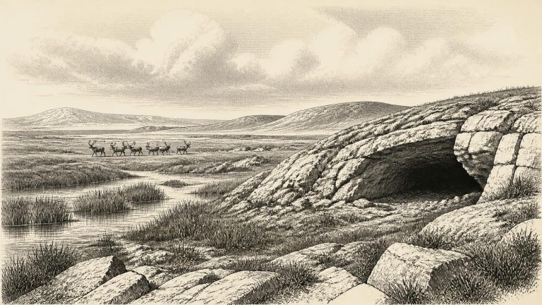
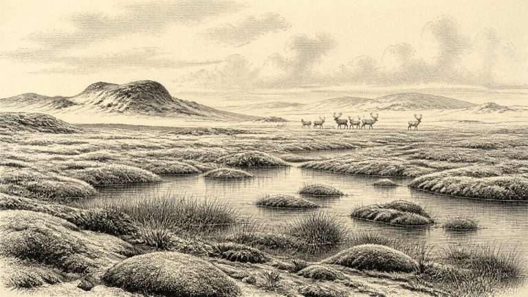
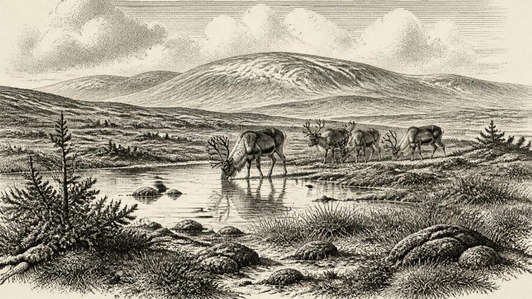
Ireland lay in the long cold span generally called the Midlandian glaciation, the Irish expression of the last glacial cycle. Yet it was not simply a country locked permanently beneath an ice sheet. Ice expanded and contracted across different sectors at different times. The great British-Irish Ice Sheet would later grow into its local maximum extent, but the picture for the earlier interval is one of uneven, mobile ice margins and substantial areas capable, at times, of supporting tundra plants and grazing animals.
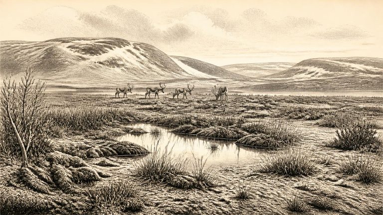
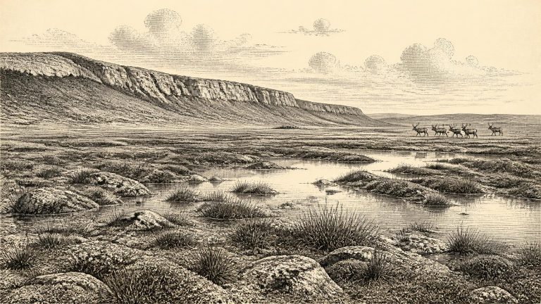
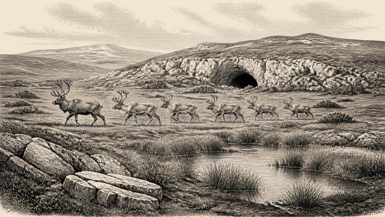
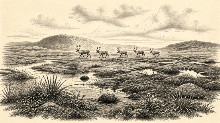
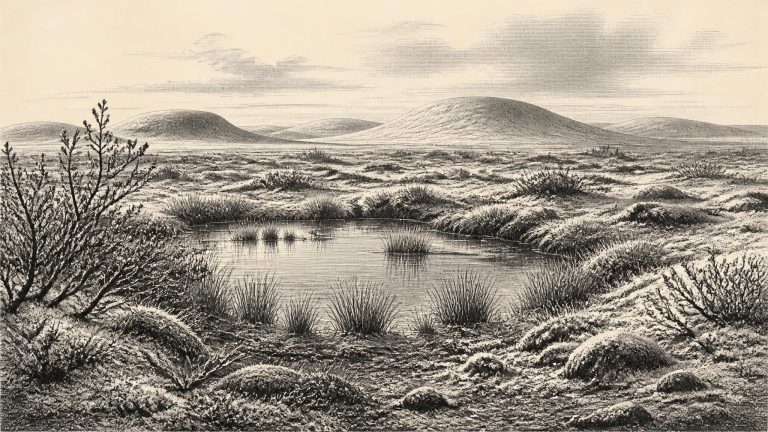
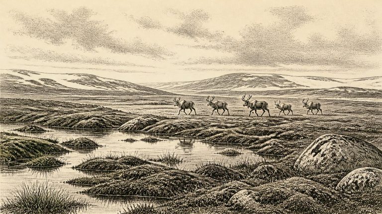
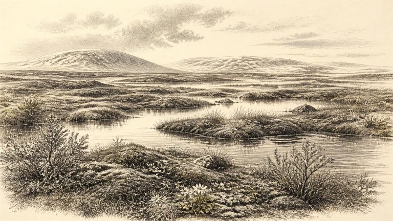
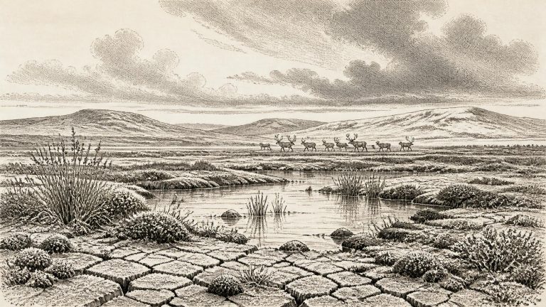
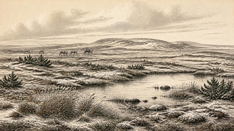
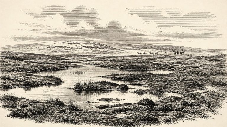
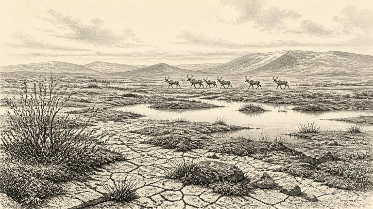
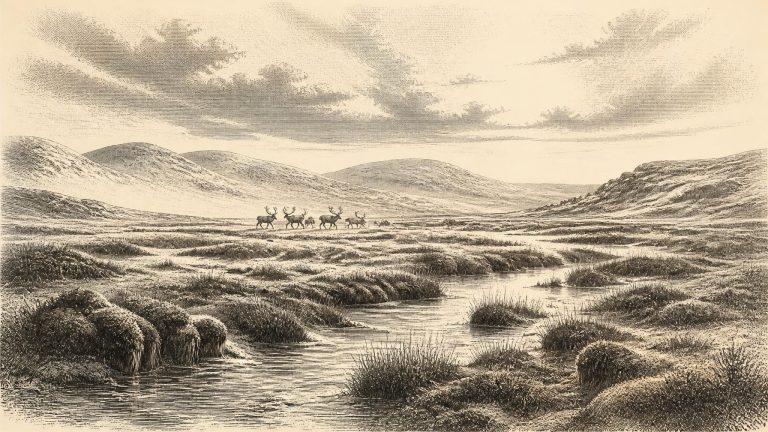
Derryvree’s plant and animal remains indicate open tundra or tundra-like vegetation in a periglacial regime: ground subjected to intense freezing and thawing, but not necessarily covered by glacier ice at that precise time. Mosses, sedges and other low-growing plants mattered more than trees. A fossil seed of bogbean, a wet-ground plant, is a small but powerful indication of shallow freshwater habitat. Insects and pollen complement this picture, pointing to a treeless, exposed environment with wet hollows, silty pools and seasonally harsh ground.
The physical order of the Derryvree deposits is its great importance. An earlier glacial episode left the lower till. Later, when ice was absent locally, water laid down fine sand and silt and preserved organic remains. A subsequent advance buried the freshwater bed beneath another mass of till. The sequence establishes a striking pattern: glaciation, an ice-free interval, then renewed glaciation. It also warns against an easy picture of an island continuously frozen from coast to coast throughout the Ice Age.
The most useful evidence for this broad interval comes from Derryvree, near Maguiresbridge in County Fermanagh. There, organic freshwater silts and fine sands were found between two sheets of glacial till in a road cutting through a drumlin. The lower and upper tills show that ice occupied the locality at different times; the sediments between them preserve an ice-free interval. A radiocarbon determination on their organic content, Birm-166, was published as 30.5 ± 1.1–1.2 thousand radiocarbon years BP. Earlier published calibration placed that measurement within a broad range of approximately 36.9–31.7 thousand calibrated years BP. The modern label 31,766 BCE falls near the younger end of that wide range, not at a moment that can be isolated within it.
At this depth of time, radiocarbon ages are not calendar ages. They measure residual carbon-14 in once-living material and must be converted through calibration curves that account for past changes in atmospheric carbon. The conversion produces probability ranges, often broad ones, rather than an exact year. The useful local range is supplied by the organic sediments at Derryvree, near Maguiresbridge in County Fermanagh: material from the deposit has been reported within approximately 31,700–36,900 cal BP. The nominal year in this article lies inside that span, but it cannot be tied to a particular layer, season, animal or human action.
Derryvree is central because road excavations in 1969 cut through a drumlin and exposed an unusual sequence. Beneath the landform lay one thick sheet of glacial till, then freshwater silts and fine sands rich in organic material, followed by another thick till sheet. Till is debris laid down directly by glacier ice. The order of deposits therefore demonstrates a major environmental reversal: ice had covered the area; a non-glacial freshwater landscape subsequently developed; and later ice overran and sealed it. Much of Ireland’s older Pleistocene evidence was eroded, redistributed or buried by later glaciation. The Derryvree sediments survived precisely because they were protected between those tills.
Radiocarbon results are not calendar dates read straight from a bone or layer of silt. They measure remaining radioactive carbon and must be calibrated against a curve built from independently dated environmental archives. Beyond 30,000 years ago, the relation between radiocarbon years and calendar years is especially uneven, so errors and ranges matter greatly. The important local chronological anchor is a freshwater deposit exposed at Derryvree, near Maguiresbridge in County Fermanagh. Organic silts and fine sands trapped between two sheets of glacial till produced a radiocarbon determination of 30,500+1170−1030 radiocarbon years BP. With modern calibration, that determination spans broadly about 36,900–31,700 cal BP. Thus 31,769 BCE lies close to the younger edge of a dated environmental window, rather than at a point archaeology can isolate.
The closest Irish evidence is dated in ranges rather than years. At Derryvree near Maguiresbridge, County Fermanagh, roadworks exposed organic freshwater silts and fine sands between two layers of till, the debris laid down by separate ice advances. A conventional radiocarbon measurement from the organic deposit was 30,500 ± 1,100 years BP. Such a result needs calibration, and at this age the calibration curve produces a broad interval rather than a precise answer. Published assessments place the Derryvree date broadly at about 36,900–31,700 calibrated years BP. Thus 31,770 BCE overlaps the possible age of that wetland, but the deposit cannot prove what happened at Derryvree, still less across Ireland, in that numbered year.
Ireland was not yet the familiar island of later prehistory. Sea level was substantially lower because so much water was locked in northern ice sheets, exposing extensive parts of the continental shelf. Yet lowered seas did not automatically provide an easy, continuous land bridge from Ireland to Britain or continental Europe. Glaciers, icy seas, river systems and shifting coastlines mattered as much as distance. Any movement by animals or people depended on the conditions of a particular season and route, not on a simple map of dry land.
Radiocarbon years are not the same as calendar years. The amount of radioactive carbon in the atmosphere has varied through time, so a radiocarbon measurement must be calibrated against independently dated records. At c. 34,000 calendar years ago the resulting spans can be broad, and refinement of dating methods has altered the chronology of Irish cave faunas more than once. A numbered BCE year can be useful for arranging an archive, but it should not imply a precision that the evidence cannot supply.