Membership is completely free, giving members unlimited access to all available resources, services, features, and benefits without any restrictions or fees.
Welcome back. Sign in to continue enjoying unlimited access to all available resources, services, features, and member benefits at no cost.
The most relevant Irish record is at Derryvree townland, near Maguiresbridge in County Fermanagh. Road works in 1969 exposed a remarkable sequence within a drumlin: freshwater silts and fine sands, including organic material, lay between two separate sheets of glacial till. This is direct stratigraphic evidence that an earlier ice advance had deposited the lower till, that an ice-free interval then allowed water and organic sediment to accumulate, and that later glacier ice buried the deposit beneath the upper till. The organic material gave a conventional radiocarbon age of 30,500 +1,170/−1,030 BP. Modern calibration has expressed that broad result as roughly 36,900–31,700 cal BP. The nominal year considered here falls within that wide span, but cannot be pinpointed to a particular layer, season or generation.
Derryvree matters because of its position in the ground. Roadworks in 1969 cut through a drumlin and exposed organic-rich freshwater silts and fine sands lying between two sheets of till, the stony debris left by glaciers. The sequence records three large-scale changes: an earlier phase of ice occupation, a period in which non-glacial sediments accumulated in a freshwater setting, and a later advance that buried the deposit beneath fresh till. Its importance lies precisely in that sequence. It demonstrates that at least part of northern Ireland was ice-free during a portion of MIS 3, before renewed glaciation transformed the landscape again.
The most important environmental evidence directly relevant to this period comes from Derryvree, near Maguiresbridge in County Fermanagh. Road works in 1969 cut through a drumlin and exposed freshwater silts and fine sands trapped between two thick layers of till, sediment deposited by glacier ice. The intervening organic deposit had formed during an ice-free interval, then was sealed beneath a later glacial advance. Its radiocarbon result, known as Birm-166, was 30,500 radiocarbon years BP, with a substantial uncertainty. Modern calibration places the deposit broadly around 36,900–31,700 cal BP: approximately 34,950–29,750 BCE.
Radiocarbon results must not be read as simple calendar dates. The amount of carbon-14 in the atmosphere has varied over time, so a measurement on ancient organic material has to be calibrated against independently dated records. At more than 30,000 years ago, the resulting calendar range can be broad. The important Fermanagh deposit at Derryvree, near Maguiresbridge, returned a conventional radiocarbon age of 30,500 years before present, with a substantial uncertainty. Published calibration places the deposit broadly between about 36,900 and 31,700 calibrated years before present. That wide window encompasses the modern date used here, but it does not demonstrate that the sediments formed in this exact numbered year.
Organic silts and fine sands at Derryvree produced a conventional radiocarbon result of 30,500 years BP, with a substantial uncertainty of +1,170 and −1,030 years. Radiocarbon years are not calendar years: changing atmospheric carbon-14 levels mean that results must be calibrated against internationally maintained curves. Modern calibration places the determination broadly within about 36,900–31,700 calibrated years BP, or roughly 34,950–29,750 BCE. That wide interval includes 31,542 BCE, but it cannot locate that notional year in a particular layer, season or episode at the site.
The distinction between a radiocarbon age and a calendar age matters particularly here. Radiocarbon years are calculated from the residual carbon-14 in once-living material; calibration converts that measurement into calendar probabilities using independently dated records. At more than 30,000 years ago those probabilities can be broad, and the dates of old cave collections must also be considered alongside uncertainty over their original archaeological context. A label such as 31,543 BCE is therefore a useful point on a modern timeline, not a claim that scholarship can isolate a particular season, generation or occurrence in Ireland.
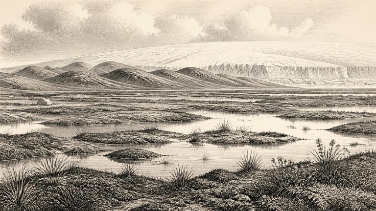
This was a cold, unstable world on the north-western edge of Europe. Ireland had not yet reached the fullest extent of the Last Glacial Maximum, generally dated to about 26,000–19,000 calibrated years BP, but ice was expanding in a landscape repeatedly transformed by climatic shifts. The British–Irish Ice Sheet was not a single unchanging white cover. Its centres, margins and flow paths altered through time; ice accumulated first in uplands and later spread more widely. Reconstructions indicate that by about 31,000 years BP a substantial ice cap occupied northern Irish mountains, while smaller ice fields or glaciers existed in several other upland areas. That reconstruction should not be projected backwards as a detailed map for 31,544 BCE, but it conveys the wider trajectory: Ireland was moving into a harsher and more ice-dominated phase.
Derryvree’s position between two tills is its great importance. Till is sediment laid down by glacier ice; the lower and upper deposits show that ice occupied this part of Fermanagh at different times. Between them came an interval when freshwater sediments, plants and insects could accumulate. The resulting record demonstrates that Ireland’s last glacial history was neither one unbroken freeze nor a simple march towards the Last Glacial Maximum. Ice margins advanced, withdrew or became restricted; cold, open habitats appeared in some districts; and later glaciers often buried, disturbed or destroyed the evidence.
The closest securely relevant Irish environmental sequence comes from Derryvree near Maguiresbridge in County Fermanagh. Roadworks exposed fine sands and organic freshwater silts sealed between two tills: the unsorted sediments laid down by glacier ice. The stratigraphy is valuable because it records a simple order of events. Ice deposited the lower till; conditions then became sufficiently non-glacial for water, plants and sediment to gather in a basin; a later ice advance covered the deposit with a second till. What survives is not a settlement site, but a rare interlude in the geological history of an Ice Age landscape.
31,547 BCE is not a recoverable year in Irish history. No calendar, written record or archaeological sequence can identify what happened in one particular season at so remote a point in the past. It is a modern label for a position roughly 33,500 calendar years before AD 1950, within the Late Pleistocene and Marine Isotope Stage 3, a climatically unstable part of the last Ice Age. At this depth of time, radiocarbon results require calibration and carry substantial uncertainties; archaeological interpretation must therefore use broad ranges rather than false precision. The most useful Irish evidence is not a dated human event but a small number of environmental deposits, cave-bone assemblages and glacial landforms.
Radiocarbon ages cannot simply be read as calendar dates. The amount of radioactive carbon in the atmosphere has altered through time, so a laboratory measurement must be calibrated against independently dated records. The current IntCal20 Northern Hemisphere curve reaches back to 55,000 calibrated years before present, but its older sections combine several kinds of evidence and retain substantial uncertainty. At around 33,500 years before present, an individual determination may translate into a broad and sometimes irregular calendar range. It cannot normally identify a single season, let alone a named year.
The period should not be confused with the global Last Glacial Maximum, usually dated to about 26,500–19,000 years ago. Around 33,500 calibrated years ago, that maximum still lay in the future. Yet the British–Irish Ice Sheet was already growing and reorganising. The timing of its expansion was not uniform: mountain ice, Scottish-sourced ice, Irish ice centres and marine outlets developed at different rates. Reconstructions now treat the ice sheet as dynamic rather than as a single frozen cap that appeared everywhere at once. This matters greatly for Ireland, where the difference between an ice-covered district, a periglacial plain and an offshore ice margin could be only a few generations or a few tens of kilometres, while the available dates may carry much wider uncertainty.
In 1969, road works cut through a drumlin at Derryvree and exposed fine sands, silts and organic layers trapped between two bodies of glacial sediment, or tills. The succession showed that, before a later advance of ice reshaped the district, this part of Fermanagh had supported standing or slow-moving freshwater and wet ground. The deposit preserved pollen, plant macrofossils, mosses and invertebrate remains. It is unusually informative precisely because later glaciation erased, disturbed or buried so much of Ireland’s older Pleistocene landscape. Derryvree does not describe the whole island, and it cannot be read as a photograph of a single season. It does, however, establish that an ice-free interval existed in this northern interior during the Middle Midlandian, the Irish regional term for part of the last glacial cycle.
The most informative Irish site is Derryvree, near Maguiresbridge in County Fermanagh. Road-cutting through a drumlin in 1969 exposed a remarkable succession: a freshwater bed of silts, fine sand and organic material lay between two thick layers of till, sediment deposited directly by glacier ice. Its position records an important sequence. Ice had affected the locality; then, for a substantial period, open water and wetland sediments accumulated in an ice-free landscape; finally, a later advance of ice sealed the deposit beneath fresh till. The survival of such a fragile organic layer beneath a drumlin is exceptional.
Derryvree is valuable because its position records sequence as well as age. An earlier episode of ice cover laid down the lower till. Afterwards, in a non-glacial interval, water collected and fine sediment accumulated, preserving fragments of a cold-climate ecosystem. A later ice advance covered and protected that small archive beneath another layer of till. The deposit does not mean that all Ireland was then ice-free, nor that conditions were stable for centuries in a modern sense. It demonstrates that this part of Fermanagh experienced a periglacial landscape sufficiently open and wet for a freshwater basin to form between glacial episodes.
Ireland at this point belonged to Marine Isotope Stage 3, a long and climatically unstable portion of the last Ice Age. It was cold, but it was not yet the Last Glacial Maximum, when the British–Irish Ice Sheet reached its greatest known extent, broadly between about 26,500 and 19,000 cal BP. The important historical fact is therefore transition: ice sheets were building and shifting, climates changed abruptly on millennial scales, and the habitable parts of Ireland were vulnerable to disappearance beneath advancing ice. Later glaciers also destroyed or buried much of the evidence that might once have recorded this earlier world.
About 31,554 BCE, Ireland was not yet in the full Last Glacial Maximum, generally placed in Britain and Ireland between roughly 27,000 and 21,000 years ago. Ice was nevertheless an active force in the wider region. The growth of the British–Irish Ice Sheet is commonly assigned to the period after about 35,000–32,000 years ago, but its margins repeatedly advanced and retreated. Conditions differed markedly between regions and over comparatively short geological intervals. It would be misleading to picture the whole island as either uniformly ice-covered or uniformly habitable on this particular notional year.
Expressed in the convention used by Quaternary science, 31,555 BCE is roughly 33,500 calendar years before AD 1950. That conversion should not imply false precision. Radiocarbon measurements are not calendar dates: the amount of atmospheric carbon-14 varied over time, and calibration produces probability ranges rather than a single secure year. The internationally used IntCal20 curve reaches this part of the Pleistocene, but the uncertainty is still substantial.
Scientific dates of this antiquity are ranges, not timestamps. Radiocarbon ages measure the remaining carbon-14 in once-living material and must be calibrated because atmospheric carbon-14 has varied over time. The most relevant Irish determination is BIRM-166, taken from organic mud at Derryvree near Maguiresbridge in County Fermanagh. It produced a conventional result of about 30,500 radiocarbon years before present, with a large uncertainty. Modern calibration places its likely age broadly between about 36,900 and 31,700 calibrated years before present, approximately 34,950 to 29,750 BCE. Thus 31,556 BCE falls within the wide span associated with the deposit, but cannot be assigned to a particular season, layer, plant or event.
Ireland at this point was not the green, wooded island of later prehistory. It lay within the unstable climatic world that preceded the fullest Late Pleistocene ice expansion. The Last Glacial Maximum is generally placed later, roughly 26,500–19,000 years ago, but the growth of the British–Irish Ice Sheet was neither simple nor simultaneous. Different Irish sectors advanced, stagnated and retreated at different times. Reconstructions based on hundreds of dates show maximum extents ranging broadly from about 30,000 to 22,000 years ago across the wider ice sheet system; the later Irish maximum is especially well evidenced offshore and in the south and west.
Road excavations in 1969 cut through the Derryvree drumlin and exposed a remarkable sequence: thick glacial till below, freshwater silts and fine sands in the middle, and another till above. Till is the mixed, unsorted sediment deposited directly by glacier ice. The order of the layers is the essential fact. Ice had covered the locality; a period then followed in which open water and organic sediment accumulated; later ice advanced across the site again, burying and preserving that brief environmental archive.
The closest useful Irish chronological marker is an organic deposit exposed at Derryvree near Maguiresbridge, County Fermanagh. There, freshwater silts and fine sands lay between two tills: sediments left by an earlier ice advance below and a later one above. The intervening organic layer produced the legacy radiocarbon determination Birm-166, 30,500 ± 1,100 radiocarbon years BP. Published calibrations place it broadly at about 36,900–31,700 calibrated years BP. The modern label 31,559 BCE, approximately 33,509 calibrated years BP, falls within that wide range, but it cannot be assigned to the beginning, end or any particular season of the deposit.
Derryvree matters because its position between two tills preserves an environmental sequence that later ice did not wholly destroy. Till is the unsorted mixture of clay, stones and other debris deposited directly by glacier ice. The lower till shows that ice had previously reached the locality; the freshwater deposits show an interval when ice was absent from the site; and the upper till records a later return of glacial conditions. Rather than presenting a simple story of an island steadily freezing over, the deposits reveal a landscape repeatedly reshaped by advance, retreat and climatic fluctuation.
Ireland was not yet the wholly ice-covered landscape associated with the Last Glacial Maximum. The British–Irish Ice Sheet was developing unevenly, expanding from upland and northern centres over many millennia rather than descending across the island in one single advance. Reconstructions beginning at about 31,000 years ago show substantial ice accumulation in the north-west, including the Derryveagh and Sperrin uplands, with smaller mountain ice fields or glaciers in several other ranges. For the slightly earlier horizon represented by 31,561 BCE, the margins and thickness of Irish ice remain less securely known. This uncertainty is important: the evidence supports a cold, unstable and increasingly glacial Ireland, not a simple image of the entire island buried beneath one unchanging white sheet.
This was an Ice Age world, but not simply an island sealed beneath one unchanging blanket of ice. The greatest expansion of the last British–Irish Ice Sheet came later, principally during the Last Glacial Maximum, when ice covered Ireland and extended across parts of the surrounding continental shelf. Around the date represented by 31,562 BCE, conditions were already severe and ice margins were dynamic, yet evidence shows that some Irish districts had earlier or intermittent ice-free landscapes. The exact extent of ice at any one moment remains uncertain, because glaciers advanced, stagnated and retreated on differing regional schedules, while much relevant terrain now lies offshore or beneath younger deposits.
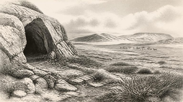
Radiocarbon years are not calendar years. Their conversion depends on calibration curves, which account for past variation in atmospheric carbon-14 and yield ranges of probability rather than a single indisputable calendar day. At this age, the ranges may be wide and the reliability of a result depends greatly on the preservation and pretreatment of bone collagen. Re-dating of Irish cave fauna with improved methods has demonstrated that several older measurements were substantially too young. That finding matters profoundly: it has moved part of Castlepook’s fauna back into Marine Isotope Stage 3, well before the island-wide ice expansion conventionally associated with the Last Glacial Maximum.
The distinction between radiocarbon years and calibrated calendar ranges matters especially at this depth. Radiocarbon measurements are estimates with uncertainties; calibration translates them through a curve that itself becomes less precise further back in time. The older Irish literature often used broad phase names such as the Middle Midlandian or Derryvree Cold Phase. These are valuable regional frameworks, but they are not annual calendars. A determination from Derryvree near Maguiresbridge, County Fermanagh, of 30,500 ± 1,100 radiocarbon years BP has commonly been placed in a broadly late-MIS 3, cold but non-glacial interval. Calibrated ranges and correlations have changed as dating methods improve. The responsible conclusion is therefore approximate: around the later 30,000s cal BP, some Irish ground was ice-free and supported cold-adapted life; the precise extent of that ground at 31,564 BCE cannot be mapped with confidence.
The nearest securely relevant environmental sequence comes from Derryvree, near Maguiresbridge in County Fermanagh. Road construction in 1969 cut through a drumlin and exposed organic freshwater silts and fine sands enclosed between two tills: unsorted sediment deposited by glacier ice. The sequence records an earlier glacial episode, a subsequent interval in which freshwater sediment and organic material accumulated locally, and a later advance that buried the deposit beneath fresh till.
Derryvree was exposed during roadworks in 1969. Beneath a later glacial deposit, and above an older one, lay organic silts and fine sands formed in freshwater conditions. This sequence is important because the tills above and below it were laid down by ice. Between two phases of glaciation, there had been an interval in which water pooled, sediments accumulated, plants grew and insects lived. A conventional radiocarbon determination of 30,500 ± 1,100 radiocarbon years before present has been calibrated broadly to about 36,900–31,700 calendar years before present: approximately 34,950–29,750 BCE.
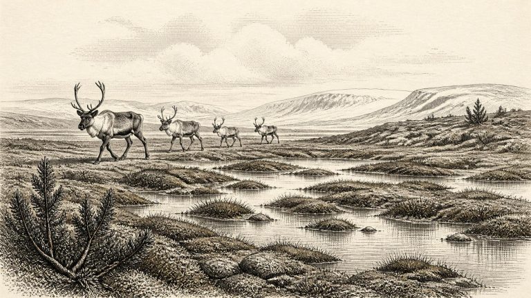
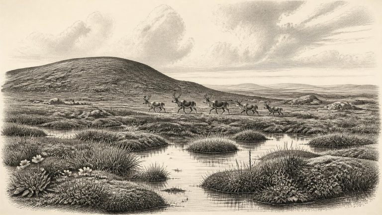
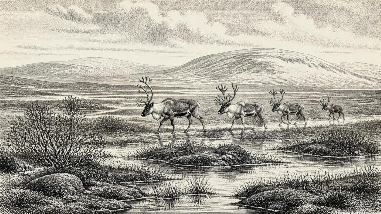
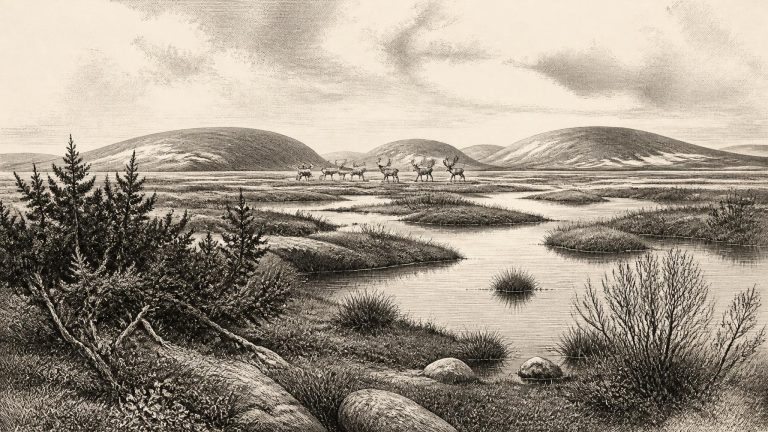
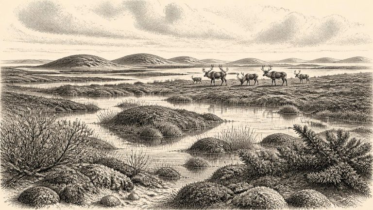
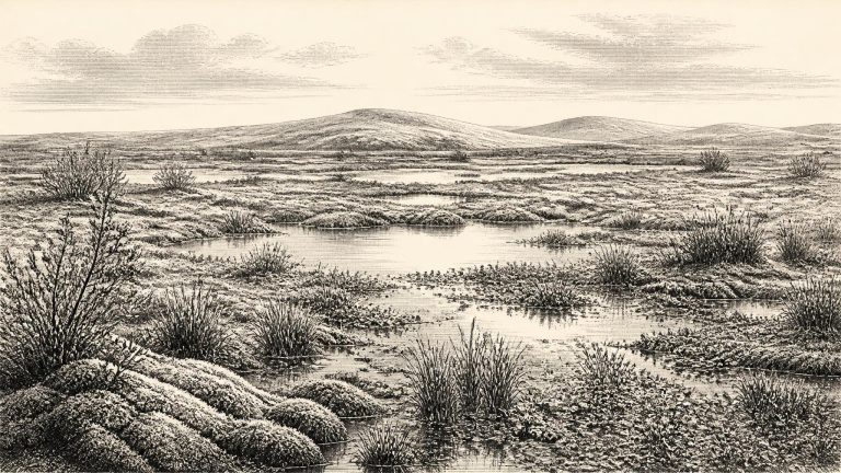
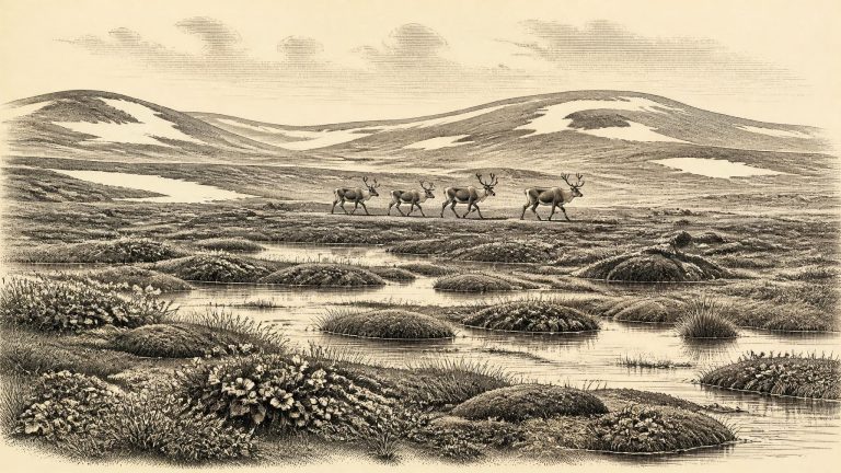
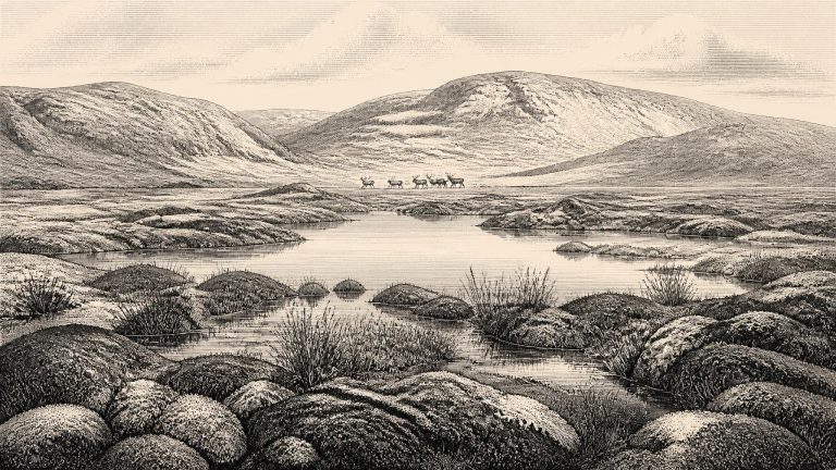
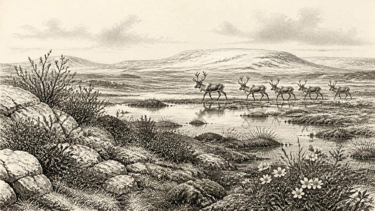
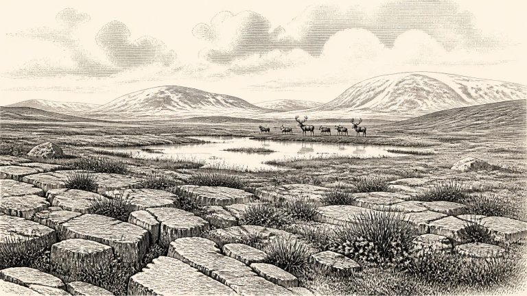
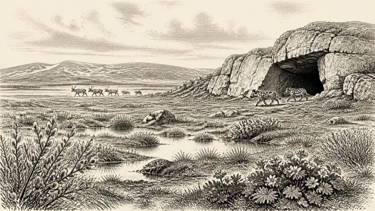
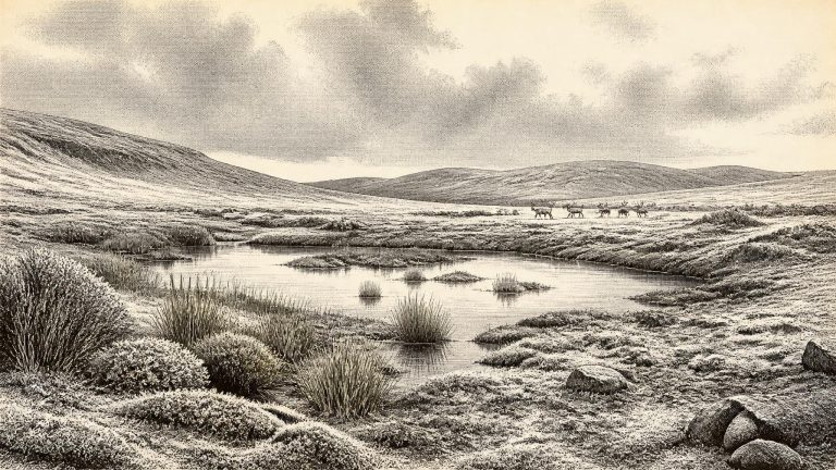
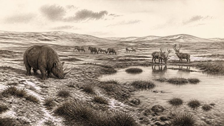
The Derryvree sediments preserve pollen, plant macrofossils, mosses and small animal remains from a cold phase before the most extensive late-glacial ice advance. Their broad message is clear: south Fermanagh supported open, treeless tundra under periglacial conditions. Ground could freeze deeply in winter, while summer thaw fed shallow pools, wet mossy ground and sedge-rich margins. This was not the modern green, wooded and densely settled Ireland. It was a seasonally severe landscape in which plant cover was generally low, broken by wetter habitats able to sustain more luxuriant vegetation.