Membership is completely free, giving members unlimited access to all available resources, services, features, and benefits without any restrictions or fees.
Welcome back. Sign in to continue enjoying unlimited access to all available resources, services, features, and member benefits at no cost.
The nearest useful terrestrial evidence comes from Derryvree near Maguiresbridge in County Fermanagh. Roadworks exposed a freshwater deposit of organic silts and sands trapped between two bodies of glacial till. Such a sequence matters because it indicates an interval in which water, vegetation and sediment accumulated before later ice overran the area. A radiocarbon determination from the organic material, once calibrated, has been presented as a broad range of roughly 36,900–31,700 calibrated years before present. The nominal year considered here lies within that window, but Derryvree does not document a particular year, season or human generation. It is a time-depth record spanning many centuries or millennia, with uncertainties inherent in both dating and correlation.
This was not yet the Last Glacial Maximum, the period when ice later covered the whole island and much of its continental shelf, conventionally dated in Ireland to roughly 27,000–23,000 calibrated years before present. The broad build-up to that maximum was nevertheless under way. Reconstructions of the British–Irish Ice Sheet place the onset of substantial expansion after about 35,000–32,000 years ago, but they also stress that ice advanced unevenly, with local upland glaciers, ice caps and ice-sheet sectors responding differently. At roughly 33,600 years before present, Ireland was not simply either ‘ice-covered’ or ‘ice-free’. It was a region of severe climatic instability in which open ground, seasonal snow, frozen soils, freshwater basins and growing upland ice could coexist across different districts.
Radiocarbon determinations are reported in radiocarbon years and then calibrated against independently established curves to produce calendar-age ranges. Both the scientific measurement and the conversion have uncertainties. A calendar label such as 31,654 BCE is consequently much more precise-looking than the evidence permits. It should be treated as a point within a broad chronological neighbourhood, not as a moment at which conditions across the island can be reconstructed exactly.
About 31,655 BCE, the great British–Irish Ice Sheet had not yet reached its better-documented later maximum. Research on its earlier growth increasingly indicates advance, retreat and regional variation during Marine Isotope Stage 3. That makes sweeping statements that all Ireland was continuously buried beneath ice misleading. Some ground was glaciated; elsewhere, or at other times, exposed terrain, coastal margins and river valleys may have remained available to plants and animals. The precise outline of ice at any one moment remains uncertain, especially because later ice repeatedly eroded or concealed earlier landscapes.
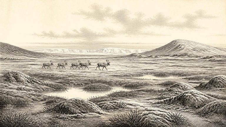
The familiar image of Ireland as a green, wooded island is wholly inappropriate. During cold phases of the Late Pleistocene, woodland could not have formed a continuous cover. Periglacial conditions – severe seasonal freezing, frost-shattered ground, sparse vegetation and unstable drainage – shaped much of the land that was not buried beneath ice. Streams carried fine sediment; exposed soils could be disturbed by frost and wind; and shallow pools or wet hollows offered sharply local habitats. The coastlines too were unlike those of the present. Global sea level was substantially lower because enormous quantities of water were held in ice sheets, exposing parts of the continental shelf. Yet lowered sea level does not itself demonstrate a simple, enduring walkable bridge between Ireland and Britain at every stage. The changing Irish Sea basin, ice margins and channels make routes of movement a subject for reconstruction rather than certainty.
Ireland at this broad horizon was neither the familiar green island of later prehistory nor simply a featureless sheet of ice. It lay in a North Atlantic world marked by sharp climatic shifts, changing glaciers, exposed ground and great differences between local environments. The Last Glacial Maximum—the phase when the British–Irish Ice Sheet was at or near its greatest later extent—still lay ahead. Yet glacial growth and ice-margin fluctuations had already profoundly altered the country, while later ice would scour, bury and rearrange much of the evidence now sought by archaeologists.
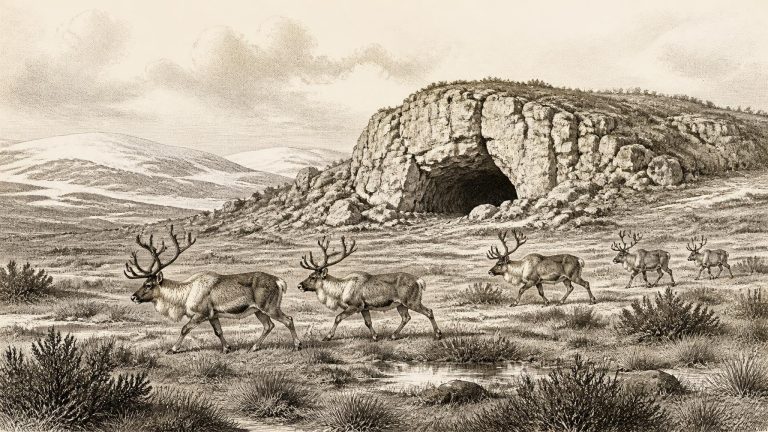
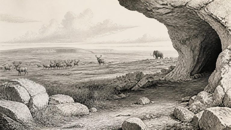
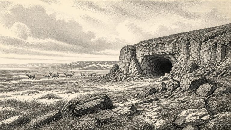
Castlepook is Ireland’s most important known archive of mammal life before the Last Glacial Maximum. Excavations conducted between 1904 and 1908, under the auspices of the Royal Irish Academy’s cave-exploration work, recovered a very large bone assemblage from its limestone passages and chambers. Its evocative early excavators’ names, including Hyena Hall and Elephant Hall, reflect discoveries of animals that seem startling in a modern Irish setting. The surviving material is now principally associated with the National Museum of Ireland’s Natural History collections.
Derryvree is valuable because later glaciation both altered Ireland profoundly and destroyed much of the evidence for earlier landscapes. Road works in 1969 cut through a drumlin and exposed a sequence of fine sands and organic silts between two tills: unsorted sediment laid down directly by glacier ice. The lower till shows that ice had previously affected the site; the upper till shows that glacier ice returned after the freshwater deposits accumulated. Between them survives a brief geological archive of an ice-free or locally ice-free landscape: water, mud, plants, insects and small animal remains preserved in a hollow that would eventually be buried beneath a streamlined hill of glacial sediment.
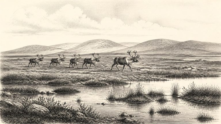
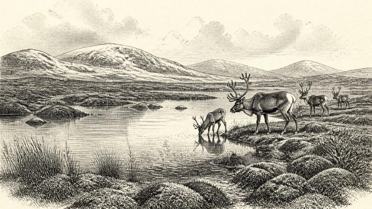
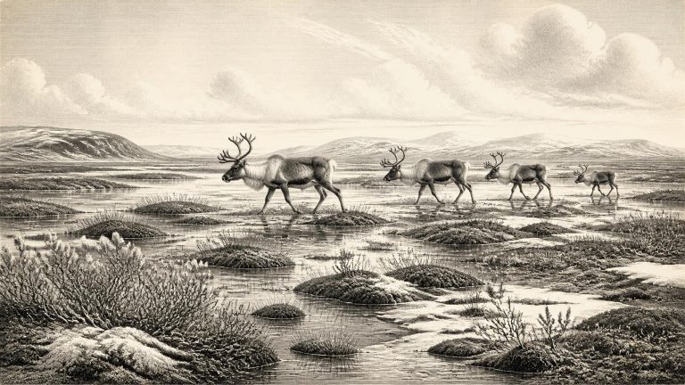
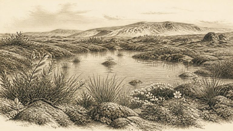
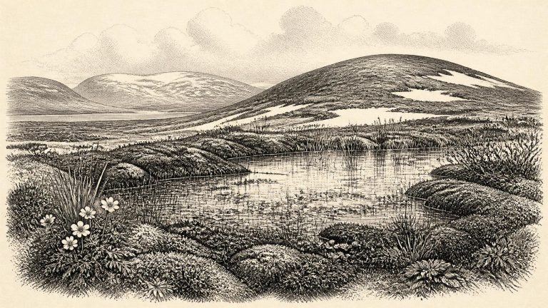
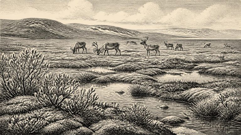
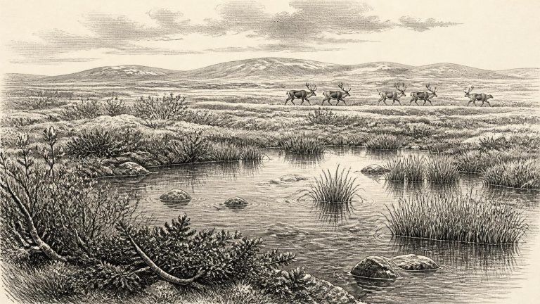
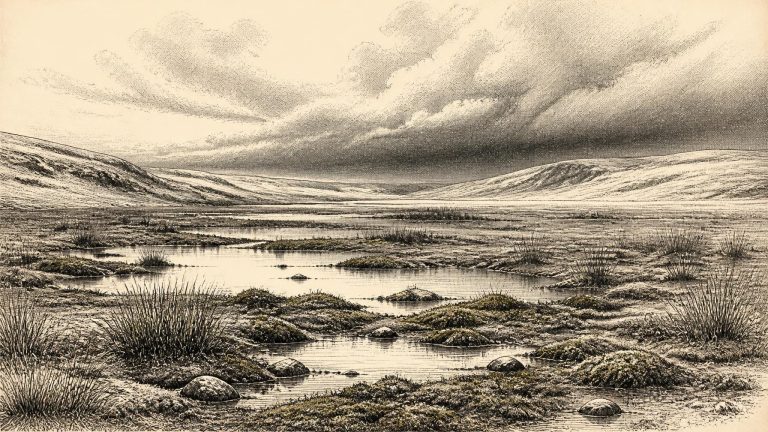
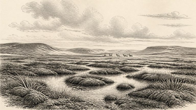
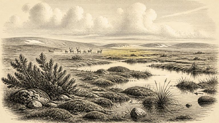
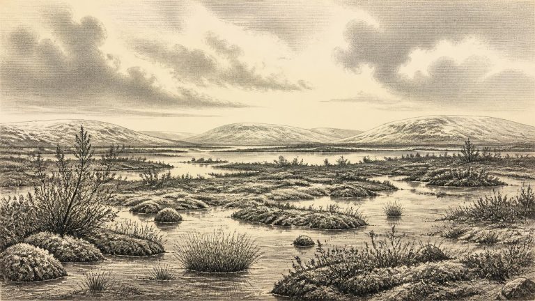
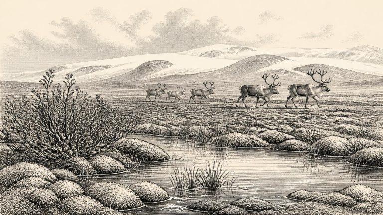
Derryvree was not a wooded version of modern Fermanagh. Pollen, plant macrofossils, mosses and insects indicate open tundra or muskeg: a cold, wet, largely treeless terrain with sedges, grasses, herbs, dwarf shrubs and patches of moss around shallow pools. The term muskeg denotes waterlogged, peat-forming ground with a complex mixture of open water and vegetation. It should not be imagined as a uniform frozen desert. In sheltered hollows there were freshwater habitats and decaying plant matter; across exposed ground, however, vegetation was probably sparse and the growing season short.
In 1969 road works cut through a drumlin at Derryvree, near Maguiresbridge in south Fermanagh. Beneath later glacial deposits, investigators found silts and fine sands laid down in freshwater, sandwiched between two thick tills. The sequence matters because the upper till demonstrates that ice later crossed the locality, while the intervening organic-rich beds preserve a landscape that existed before that renewed advance. A conventional radiocarbon determination of 30,500 +1,170/−1,030 years BP from the deposit has subsequently been expressed as a broad calibrated range of roughly 31,700–36,900 cal BP. The nominal year in this article falls within that wide interval, but cannot be matched to a particular layer, day or generation at Derryvree.
The nearest well-dated northern Irish environmental sequence comes from Derryvree, near Maguiresbridge in County Fermanagh. Roadworks exposed fine freshwater sands and organic silts enclosed between two tills: deposits left by ice before and after an interval in which water, plants and animals occupied the site. Organic material from the freshwater bed returned a conventional radiocarbon age of about 30,500 years BP, with a substantial laboratory uncertainty. When such a determination is calibrated against changing atmospheric radiocarbon levels, it belongs broadly within a range of approximately 36,900–31,700 calibrated years BP. That range encompasses 31,662 BCE, but does not turn the Derryvree sediments into a record of that exact year.
The appropriate framework is the Middle Midlandian, the Irish term for part of the last cold stage. This was before the fullest development of the Last Glacial Maximum, when the British–Irish Ice Sheet later covered much of Ireland. It was nevertheless an age of profound climatic severity and rapid change. Ice margins advanced and withdrew; sea level, coastlines and drainage altered; plant and animal communities expanded into favourable ground and disappeared when conditions worsened. Ireland was not simply a fixed white island beneath permanent ice, nor was it a familiar green landscape awaiting settlement. It was a shifting north-western edge of Ice Age Europe.
MIS 3 lasted broadly from about 57,000 to 29,000 years ago. It was not a single unbroken freeze. Greenland ice-core sequences reveal repeated swings between colder stadials and relatively milder interstadials, changes reflected in Irish cave deposits and sedimentary archives. At Crag Cave in County Kerry, uranium-thorium dating shows that calcite formed episodically during this wider period. Because shallow caves normally require liquid water rather than persistently frozen ground for such mineral growth, the deposits provide evidence for intervals in which mean annual conditions were less severe than in full glacial phases. They do not, however, give a weather report for 31,664 BCE itself.
Ireland around this broad point was cold, but it should not simply be pictured as an island wholly buried beneath the maximum ice sheet. The fullest extent of the last British–Irish Ice Sheet came later. Recent reconstructions generally place its maximum expansion around 27,000–23,000 calibrated years before present, although the timing and thickness of ice varied markedly between regions. Research on southern Irish deposits likewise indicates that major tills there formed after about 24,000 calibrated years before present. Thus 31,665 BCE belongs to an earlier, changing phase of the last glacial cycle rather than to one uniform, island-wide scene.
The crucial evidence comes not from a settlement but from sediment buried beneath later glacial deposits. At Derryvree, near Maguiresbridge in County Fermanagh, road works exposed freshwater silts and fine sands trapped between two layers of till. The organic material within them produced a radiocarbon determination of 30,500 ± 1,100 radiocarbon years BP. Calibrated estimates cited in later glacial reconstructions place the deposit broadly between about 36,900 and 31,700 calendar years BP. That wide range embraces a notional date of 31,666 BCE, but it does not identify a particular season, year or even human generation.
The closest securely dated environmental archive is at Derryvree, near Maguiresbridge in County Fermanagh. Road works in 1969 exposed freshwater silts and fine sands trapped between two tills within a drumlin. The organic deposit produced a conventional radiocarbon age of about 30,500 years BP. Calibration has placed it broadly between about 36,900 and 31,700 calibrated years BP. Thus 31,667 BCE falls near the younger end of a wide range relevant to this buried landscape, not at a pinpoint that can be matched to a season, a generation or an individual occurrence.
This was long before the Last Glacial Maximum, when the British–Irish Ice Sheet reached its greatest later extent, broadly around 27,000–23,000 calibrated years before present. Around the notional date in question, however, Ireland was not simply a featureless sheet of ice. The evidence indicates that conditions varied sharply through MIS 3. Periods of ice expansion alternated with intervals in which parts of the land supported open vegetation, freshwater pools and large mammals. The scale, timing and regional extent of ice remained uneven and are still debated by glacial geologists; a description that fits County Fermanagh need not fit north Cork at exactly the same moment.
Derryvree is not a complete portrait of all Ireland. It is a small local archive, and its pollen was poorly preserved. Yet the combined plant, moss and insect evidence is unusually valuable because later glaciation removed or disturbed so much of the island’s earlier surface record. It indicates an open, treeless and wet landscape commonly described as tundra or muskeg: sedge-rich ground, mossy marsh, shallow freshwater and patches of exposed mineral soil, rather than an unbroken wilderness of ice or snow.
Derryvree is important because a road cutting exposed organic silts and fine sands trapped between two thick sheets of glacial till. The deposits were later incorporated into a drumlin: one of the elongated hills that now gives much of Fermanagh and neighbouring counties their characteristic form. The lower till records an earlier glacial episode, while the upper till belongs to a later expansion of the Irish ice sheet. Between them lies evidence of a period when water, plants and small animals occupied a low-lying hollow.
The closest securely relevant Irish environmental sequence is at Derryvree, near Maguiresbridge in County Fermanagh. Roadworks exposed fine freshwater sands and organic silts enclosed between two sheets of glacial till. The lower till records an earlier advance of ice; the silts accumulated after that ice had gone; the upper till shows that renewed glaciation later crossed the site. Organic material from the intervening deposit produced a radiocarbon age of about 30,500 ± 1,200 radiocarbon years before present. Published calibration places it broadly between about 36,900 and 31,700 calendar years before present, approximately 34,950–29,750 BCE.
Ireland was not the familiar green, wooded island of later millennia. It lay in a north-west European world repeatedly altered by sharp climatic swings, falling sea levels, advancing ice and periods of relative amelioration. The great Last Glacial Maximum was still ahead: major British–Irish Ice Sheet growth and its maximum extent belong broadly to the later span between about 31,000 and 20,000 calibrated years before present, with important regional variations. At the approximate time considered here, ice was expanding and conditions were severe, but the island was not necessarily engulfed by a single uniform ice sheet from coast to coast.
The most relevant Irish chronological anchor lies at Derryvree near Maguiresbridge, County Fermanagh. Road cutting through a drumlin exposed freshwater silts and fine sands sealed between two distinct layers of glacial till. The organic deposit produced a radiocarbon determination of 30,500 years before present, with a large laboratory uncertainty. Published calibration places its possible age broadly around 36,900–31,700 calibrated years before present. That range embraces the modernly calculated position of 31,673 BCE, but it emphatically does not identify a particular season, generation or year.
At this broad date Ireland was in the Midlandian, the Irish term for the last glacial period, but it was not yet necessarily the uniformly ice-covered island of popular imagination. The full Last Glacial Maximum came later, broadly after c. 26,000 calibrated years before present, and ice-sheet growth was neither instantaneous nor geographically uniform. Exposure dating of upland landforms has been used to argue that parts of north-central Ireland remained ice-free until at least about 34,000 years ago. Other reconstructions show that the British–Irish Ice Sheet subsequently expanded dramatically, reaching the Atlantic shelf west of Ireland only much later in the glacial cycle.
In the wider North Atlantic climate sequence, this approximate point falls within a short-lived relatively mild episode known as Greenland Interstadial 6, conventionally placed at about 34.7–33.3 thousand years before 1950. Such an interval did not mean modern warmth. It meant a change within an ice-age world: temperatures, vegetation, animal ranges, snowfall and the edges of glaciers could all alter markedly across centuries and millennia. Ireland lay on the western margin of north-west Europe, exposed to Atlantic weather and to the unstable interaction of sea, ice and land.
Marine Isotope Stage 3, broadly spanning about 57,000 to 29,000 years ago, was not a single, uniformly frozen age. Across the North Atlantic it was marked by abrupt climatic oscillations: relatively milder interstadial episodes alternated with colder stadials. Temperature, precipitation, sea level, vegetation, river activity and the reach of glaciers all responded. Ireland’s record is too fragmentary to map those changes year by year, or even always century by century. It does show that the familiar image of an island continuously buried beneath a single immobile ice cap is wrong.
Radiocarbon dates do not translate directly into calendar years. Atmospheric radiocarbon varied through time, so laboratory measurements must be calibrated against independently constructed curves; at around 34,000 years ago, the resulting calendar ranges are necessarily broader than a single historical year. The numbered date should consequently be read as an approximate point within a span of centuries or millennia, rather than as a precise anniversary. It belongs to the Pleistocene, long before farming, permanent villages, metalworking, Irish languages, kingdoms or even the persistent settlement that later made an identifiable human history of Ireland possible.
The closest Irish environmental evidence comes from Derryvree, near Maguiresbridge in County Fermanagh. Roadworks in 1969 cut through a drumlin and exposed freshwater silts and fine sands lying between two thick and distinct tills: sediments deposited directly by glacier ice. The order of those layers is crucial. Ice had first crossed the district; a period followed in which freshwater sediment and organic material accumulated in an ice-free or largely ice-free setting; then a later glacier advanced and sealed the evidence beneath another till sheet.
The date belongs to the later part of the last Ice Age, but it should not be imagined as the familiar image of an island uniformly buried beneath ice. The maximum extent of the last Irish ice sheet came later. Research on the British–Irish Ice Sheet places its broad maximum on the Irish shelf and mainland chiefly between roughly 27,000 and 23,000 cal BP, although ice advance was asynchronous in different regions. Around 33,600 cal BP, glaciers and ice caps were important and growing features of the north-west European world, yet Ireland’s environmental history was locally varied.
This was part of the last Ice Age, but not yet the fullest and best-known expansion of the British–Irish Ice Sheet. MIS 3 was climatically unstable. Across the North Atlantic, colder stadial intervals alternated with relatively milder interstadials on millennial timescales. These shifts affected snowfall, ice margins, river regimes, vegetation and the routes available to animals. Greenland ice cores provide the principal framework for recognising this abrupt variability, but their numbered Greenland events should not be treated as exact Irish weather reports. Irish deposits are too sparse, and their dating too broad, to attach a precise local climatic phase to 31,680 BCE.
In 1969 roadworks cut through a drumlin at Derryvree and exposed an extraordinary sequence: freshwater silts and fine sands, rich in organic material, lying between two thick layers of till. Till is sediment deposited directly by ice. The intervening beds therefore preserve an interval when a wetland existed in a landscape later overridden or enclosed by glacial deposits. Organic material from the freshwater series returned a conventional radiocarbon age of 30,500 +1,170/−1,030 years BP. Calibration places it within a broad late-MIS 3 range, approximately 36,900–31,700 cal BP. The modern label 31,681 BCE falls within that wide span, but cannot be tied to a particular layer, day or event.