Membership is completely free, giving members unlimited access to all available resources, services, features, and benefits without any restrictions or fees.
Welcome back. Sign in to continue enjoying unlimited access to all available resources, services, features, and member benefits at no cost.
The numerical year corresponds approximately to 32,100 years before AD 1950, the conventional reference point for “BP” dating. That conversion should not be mistaken for archaeological certainty. Radiocarbon determinations must be calibrated against changing atmospheric carbon-14 levels, and beyond 30,000 years ago their calendar ranges can be broad or even irregular. Modern calibration curves extend this far back, but they do not turn a single laboratory result into a precise historical anniversary.
One unusually precise Irish clue lies beneath County Kerry. At Crag Cave, near Castleisland, researchers have dated fragments of broken and redeposited stalagmite by uranium-thorium methods. Among the resulting sequence is a gap in calcite growth at about 32.1 ± 0.1 thousand years ago. That range closely brackets the modernised date used here. A stalagmite grows only when water percolates through soil and limestone above the cave, remains liquid and deposits calcite below. Its silence is therefore evidence of changed local conditions, not a diary entry: colder, drier or more strongly frozen ground may have interrupted the cave’s drip-water system.
Radiocarbon results do not read directly as calendar dates. Atmospheric radiocarbon levels changed through time, so a measured radiocarbon age has to be calibrated against independently dated environmental records. IntCal20, the current international Northern Hemisphere calibration framework, extends to 55,000 calibrated years before present, but the older part of its curve is necessarily built from several kinds of evidence, including floating tree-ring sequences, lake and marine records, corals and speleothems. Consequently, a date around 32,000 calibrated years ago may still have a range of possible calendar ages measured in centuries.
The distinction between radiocarbon years and calendar years is crucial. Radiocarbon measurements must be calibrated because atmospheric carbon-14 has varied through time; beyond the securely tree-ring-dated part of the curve, calibration relies on several natural archives and necessarily carries wider uncertainty. A date expressed as 30,178 BCE therefore should not be treated as a pin fixed in a sequence. It is better understood as an approximate waypoint within a span of centuries or millennia.
The principal Fermanagh evidence was exposed during roadworks in February and March 1969. Excavators cut through a drumlin at Derryvree and found organic silts and fine sands lying between two thick layers of till, the unsorted sediment laid down by glaciers. This sequence is exceptionally valuable. The lower till records an earlier ice advance; the freshwater sediments show that ice had subsequently withdrawn or ceased to occupy that locality; the upper till demonstrates that glacier ice later returned and overrode the wetland.
Ireland stood at the north-western edge of Europe, exposed to the highly variable climate of the North Atlantic. This was not yet the uniformly ice-covered Ireland often imagined for the Last Glacial Maximum, the phase when the final British–Irish Ice Sheet reached its greatest extent roughly between 27,000 and 23,000 calibrated years before present. Yet neither was it a settled green island. Ice masses had already expanded and contracted repeatedly, mountain and lowland ice may have occupied different regions at different times, and periglacial conditions shaped exposed ground beyond the glaciers.
The most important Irish archive for this broad interval lies at Derryvree, near Maguiresbridge in County Fermanagh. Roadworks in 1969 cut through a drumlin and revealed an extraordinary sequence: a lower sheet of glacial till, then freshwater silts, fine sands and organic mud, then another thick till above. In simple terms, ice had occupied the site; a basin subsequently supported water, sediment and life; and ice later returned to cover the deposit. The middle layer therefore preserves a brief environmental interval between glacial advances.
The strongest Irish chronological anchor is Derryvree, near Maguiresbridge in County Fermanagh. Roadworks in 1969 cut through a drumlin and exposed an exceptional sequence: a lower sheet of till, freshwater silts and fine sands with organic material, and then a second till sheet above. Till is debris deposited directly by ice. The sequence therefore records a clear order of events: glacier ice occupied the locality; an interval followed in which water, sediment and plants accumulated; and later ice or ice-derived material sealed the deposit.
The closest direct chronological guide is not a human site but a road-cut through a drumlin at Derryvree, near Maguiresbridge in County Fermanagh. In 1969, excavations exposed freshwater silts and fine sands trapped between two separate layers of glacial till. Organic matter from the intervening deposit produced a conventional radiocarbon determination of 30,500 +1,170/−1,030 radiocarbon years BP, known as Birm-166. Subsequent calibration places the evidence broadly within about 36,900–31,700 calibrated years BP. The modern label 30,183 BCE falls within that wide range, near its younger end, but it does not date a single day or even necessarily one generation in the life of the wetland.
The nearest unusually informative Irish environmental sequence comes from Derryvree, near Maguiresbridge in County Fermanagh. Roadworks in 1969 cut through a drumlin and revealed freshwater silts, fine sands and organic material sealed between two glacial tills. The order of deposits is important: ice had occupied the locality, then a non-glacial interval permitted standing water, plants and animals to establish themselves, before a later ice advance buried the wetland. A radiocarbon measurement on the organic horizon, BIRM-166, was reported as 30,500 radiocarbon years BP, with a substantial uncertainty. Modern calibration places its possible age broadly at about 36,900–31,700 calibrated years BP, approximately 34,950–29,750 BCE.
The numerical year should therefore not be mistaken for a historical anniversary. Even the strongest scientific dates from this era are probability ranges, and the calibration of radiocarbon determinations beyond 30,000 years ago remains sensitive to the changing amount of carbon-14 in the ancient atmosphere. IntCal20, the modern Northern Hemisphere calibration curve, extends far enough to handle such material, but it does not turn an isolated bone, seed or sediment horizon into a precise calendar-day record. In Ireland, deposits have additionally been eroded, reworked or buried beneath later ice, making exact correlation particularly difficult.
A literal arithmetic conversion places 30,186 BCE roughly 32,136 years before AD 1950, the conventional reference point for radiocarbon dating. That should not be mistaken for a calibrated archaeological date. Carbon-14 concentrations in the atmosphere varied through time, so a radiocarbon measurement must be calibrated against independent records; the outcome is usually a range, not a point. Nor do Irish sites provide an unbroken annual sequence from which a particular season or generation can be isolated.
Dates of this antiquity must be handled as ranges. Radiocarbon years are not identical to calendar years, because atmospheric carbon levels have changed through time; results must be calibrated against independently dated records. The main Derryvree measurement, BIRM-166, came from organic silts and fine sands and produced a conventional radiocarbon age of 30,500 years before present, with a large laboratory uncertainty. Published calibrations place its possible calendar age broadly in the late-thirty-to-low-thirty-thousand-years-before-present range. Thus 30,187 BCE lies within the broad horizon that Derryvree may illuminate, not at a pinpoint event visible in its sediments.
The Derryvree organic sediments yielded radiocarbon determination BIRM-166: 30,500 radiocarbon years BP, with a substantial uncertainty of +1,170 and −1,030 years. That result should not be translated mechanically into one calendar year. Radiocarbon years measure the remaining carbon-14 in a sample; atmospheric carbon-14 has varied through time. Modern calibration, using the IntCal20 Northern Hemisphere curve, converts such measurements into probability ranges in calibrated years before present rather than an exact historical date. At more than 30,000 years ago, those ranges are necessarily wide. The nominal date 30,188 BCE falls within the broad chronological horizon for which Derryvree is relevant, but it cannot prove that the wetland existed in precisely that numbered year.
Ireland was part of the north-west European world of the last Ice Age, but it was not uniformly buried under ice throughout that long period. The British–Irish Ice Sheet grew and shifted in separate sectors; advances, maximum positions and retreats were not simultaneous across Ireland, Britain and the surrounding continental shelf. Research based on landforms, seabed evidence and dating shows that the ice sheet was dynamic before the better-known Last Glacial Maximum, conventionally placed about 26,500–19,000 years ago. Around the date represented by Derryvree, local ice-free ground, expanding ice and changing coasts could all have existed in different places and at different times.
Ireland was within the Late Pleistocene, during the Midlandian phase of the last glacial cycle. Yet 30,190 BCE should not be imagined simply as a moment when the island lay uniformly beneath ice. The greatest extent of the last British–Irish Ice Sheet belongs later, with many reconstructions placing the principal maximum around c. 27,000–23,000 years before present, although its margins advanced and retreated at different times in different sectors. A recent ice-sheet-wide synthesis begins its reconstruction at c. 31,000 years before present because earlier constraints are sparse; its authors stress that the geographic timing of maximum ice was asynchronous.
The closest named Irish chronological witness is BIRM-166, a radiocarbon determination made on organic material from Derryvree, near Maguiresbridge in County Fermanagh. Roadworks in 1969 cut through a drumlin and exposed silts and fine sands lying between two substantial sheets of till, sediment deposited directly by glacier ice. The intervening freshwater sequence yielded an age of 30,500 radiocarbon years before present, with a very large quoted uncertainty of +1,170/−1,030 years. Calibration converts such measurements into calendar-age probabilities rather than a single answer; later syntheses place the result broadly between about 36,900 and 31,700 calibrated years before present, or roughly 34,950–29,750 BCE.
Modern year numbering is particularly misleading here. Radiocarbon ages are expressed as years ‘before present’, where present means AD 1950, and must be calibrated against independently dated records because atmospheric carbon levels have varied. Calibration does not turn an Ice Age measurement into an exact historical anniversary; it produces a probability range. A nominal date of 30,192 BCE should thus be treated as a filing point within a much longer environmental interval, not as the date of a particular occurrence.
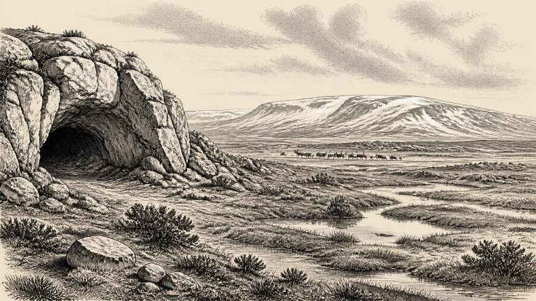
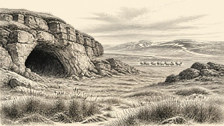
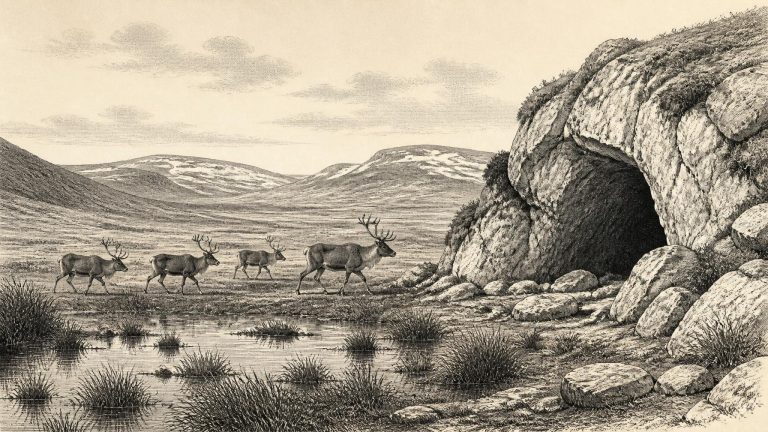
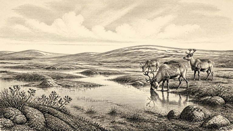
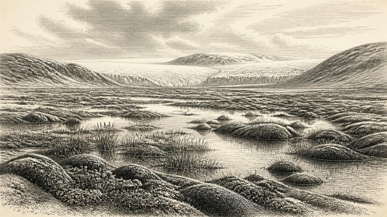
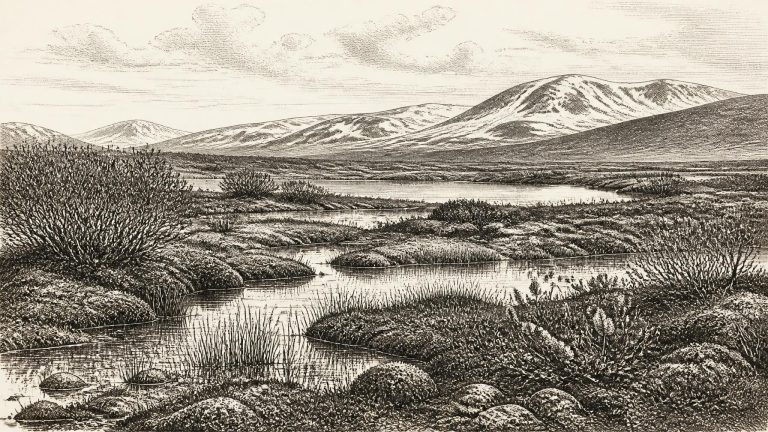
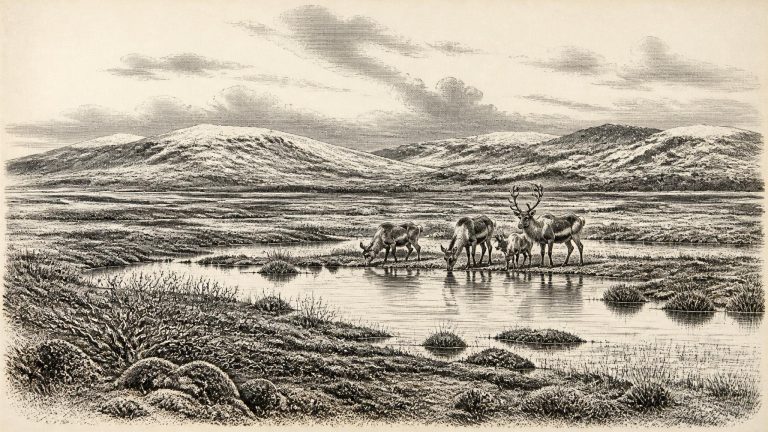
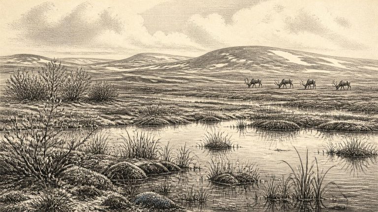
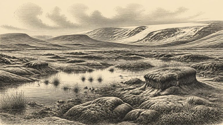
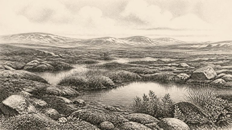
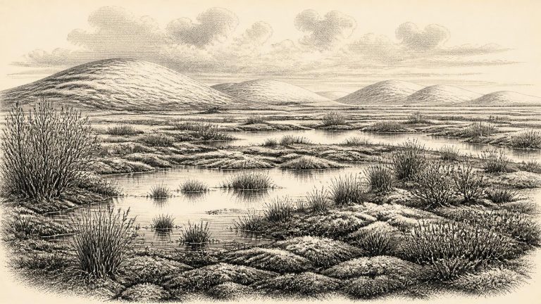
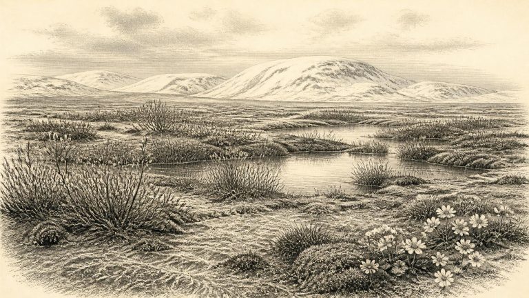
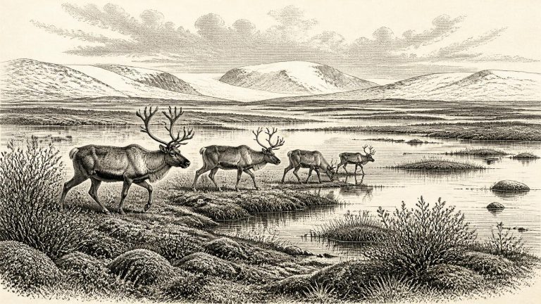
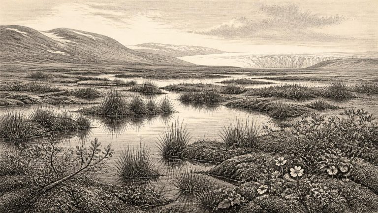
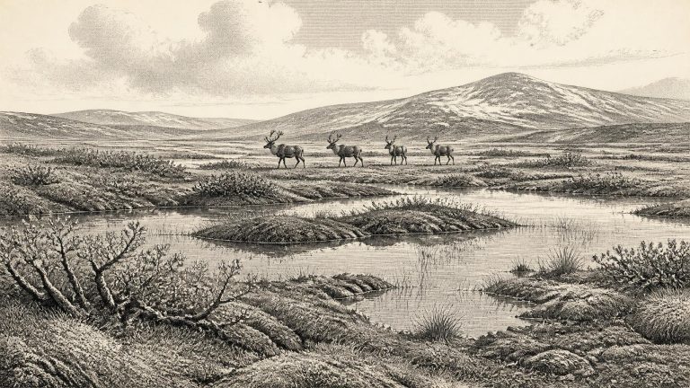
Derryvree is unusually valuable because later glaciers removed, rearranged or buried much of Ireland’s older ground surface. Here, moss-rich mud, sand and silt preserved a small ecological archive. Pollen was poorly preserved, so it cannot bear the reconstruction alone. Yet plant macrofossils, mosses and invertebrate remains, considered with the deposits’ freshwater setting, support the interpretation of a cold, open, largely treeless landscape. The evidence is direct for standing or slow-moving fresh water and for plants growing in or close to it; the wider picture of a tundra-like, muskeg-like mosaic is an informed interpretation rather than a photograph of the entire island.
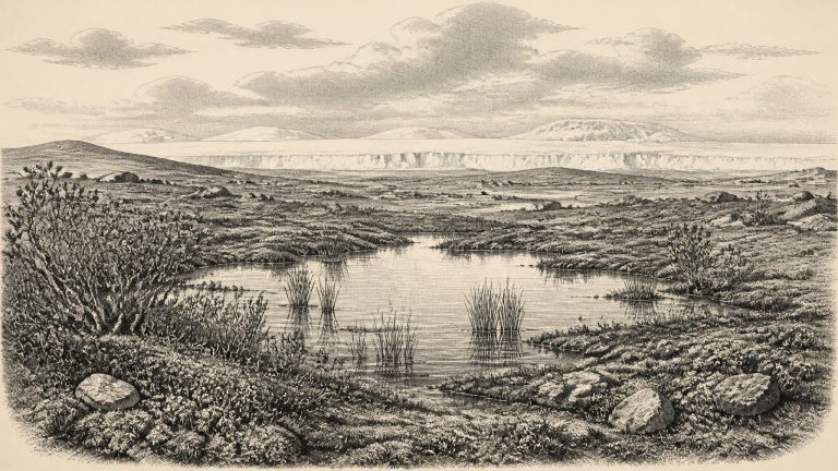
Derryvree is especially valuable because it preserves a local landscape rather than simply an isolated bone. Roadworks in 1969 cut through a drumlin and revealed fine sands and organic silts rich in botanical and invertebrate remains. The evidence points to cold, open, largely treeless ground, often described as tundra or muskeg-like wetland. Mosses, sedges and herb pollen occur alongside plant macrofossils. A seed of bogbean, Menyanthes trifoliata, is a vivid indicator of freshwater or wet conditions; it shows that pools, marsh margins or sluggish water existed at the site. Other recorded plants include cold-tolerant species associated with exposed ground and short growing seasons, rather than a familiar blanket of Irish woodland.
Derryvree was exposed during roadworks in 1969, when a cutting through a drumlin revealed an exceptional sequence. A lower till, deposited directly by glacier ice, lay beneath freshwater silts, sands and organic material; another substantial till covered them above. The order is clear even if the duration of each phase is not. Ice had occupied the locality. Later, the site was free of overriding ice long enough for standing or slow-moving fresh water, sediment and organic remains to accumulate. Eventually ice returned and sealed the wetland beneath glacial debris.
The period belongs to the Midlandian glaciation, Ireland’s part of the last glacial cycle. Reconstructions of the British–Irish Ice Sheet indicate major growth after about 32,000 years ago, with the ice sheet reaching its greatest overall volume much later, around 23,000 years ago. Those broad reconstructions matter more than the artificial precision of 30,196 BCE. Ireland was approaching a profound environmental transformation, rather than experiencing a single island-wide moment which can be dated to a calendar year.
Derryvree became visible because roadworks in 1969 cut through a drumlin: an elongated hill built largely of glacial sediment. The exposure showed two thick till sheets, material deposited directly by moving ice, with freshwater silts, fine sands and organic layers between them. Its sequence is unusually clear. Ice had occupied the locality; an ice-free interval then allowed standing or slow-moving water, sediment and plant remains to accumulate; subsequently, ice returned and sealed the deposits beneath a later till.
The closest celebrated Irish environmental record is from Derryvree near Maguiresbridge, County Fermanagh. Roadworks in 1969 cut through a drumlin and exposed freshwater silts and fine sands sealed between two substantial sheets of glacial till. The organic deposit, laboratory sample Birm-166, yielded a conventional radiocarbon age of 30,500 years BP, with a large uncertainty of +1,170/−1,030 years. Its investigators identified a full-glacial flora and fauna and concluded that open tundra and periglacial conditions prevailed when the sediments accumulated.
The numbered date should not be mistaken for a securely dated Irish occupation horizon. Archaeologists normally express this era in thousands of calibrated years before present. Around 32 ka, the North Atlantic climate was highly unstable, alternating between colder stadial conditions and relatively milder interstadials on millennial and sometimes shorter timescales. Greenland ice cores provide the best-resolved master sequence for these swings, but an event defined in Greenland cannot simply be transplanted into an Irish valley or cave. Local temperature, precipitation, snow accumulation and the response of ice differed by region.
Ireland at this time was not the familiar green, temperate island of later history. It lay on the north-western edge of Europe during a cold stage marked by abrupt climatic swings. The term “Ice Age” should not suggest one unchanging sheet of ice covering every valley throughout the period. Ice masses expanded and retreated repeatedly, while the surrounding seas, coastlines and routes between Ireland, Britain and continental Europe changed with climate and sea level. What can be said confidently is that the great Last Glacial Maximum, when the British–Irish Ice Sheet reached its best-established maximum extent, lay later: broadly after 30,000 years ago and especially around 27,000–19,000 years before present in the wider British–Irish record.
Derryvree matters because roadworks in 1969 exposed a remarkably ordered sequence through a drumlin. Beneath lay till, the stony, unsorted debris deposited by glacier ice. Above it were fine sands, freshwater silts and organic-rich layers. A second till sealed the deposit. This was not a village site, but it preserves a local environmental sequence with an unusually clear message: ice had occupied the district; later, open water and wet ground persisted long enough for sediments, plants and insects to accumulate; eventually another glacial advance buried that landscape. The finding does not prove that all Ireland was ice-free at once. It does show that the island’s last-glacial history was episodic and regionally varied, rather than a simple uninterrupted white expanse.
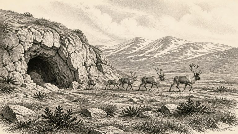
Archaeologists and Quaternary scientists normally work here with ranges expressed in thousands of calibrated years before present: ka cal BP, with “present” fixed at AD 1950. A mechanical conversion makes 30,202 BCE approximately 32.1 ka cal BP, but that should not imply a precision which the evidence lacks. Radiocarbon measurements have laboratory uncertainty, their conversion to calendar age uses calibration curves, and cave deposits may contain bones moved by water, scavengers, excavation or later disturbance. The relevant question is not what happened in Ireland in a single named year, but what conditions and possibilities are supported for the broad interval around 33,000–31,000 years ago.
The most directly relevant Irish evidence comes from Derryvree, near Maguiresbridge in County Fermanagh. Roadworks exposed an unusual sequence in a drumlin: a lower glacial till, then freshwater silts and fine sands containing organic material, followed by an upper till. Till is the unsorted mixture of clay, stones and debris deposited by glacier ice. The sequence is eloquent even though it is not a diary. Ice affected the locality before the organic sediments accumulated; for an interval, water and vegetation occupied the site; and a later glacial advance buried the evidence under fresh till.
Ireland was moving into a markedly colder phase of the last glacial cycle. The great Last Glacial Maximum, when ice later reached its fullest extent across much of Ireland and the surrounding seas, still lay ahead; it was not a single island-wide moment, and different sectors of the British–Irish Ice Sheet reached their maxima at different times. Yet around 32,000 years ago ice was already growing rapidly in north-western Europe. Reconstructions suggest ice accumulation over northern Ireland and the high ground of Donegal, while smaller ice caps developed in south-western uplands. The exact margins remain uncertain because dated evidence is sparse, but this was an age of advancing rather than settled ice.