Maguirebridge’s Periglacial Waters
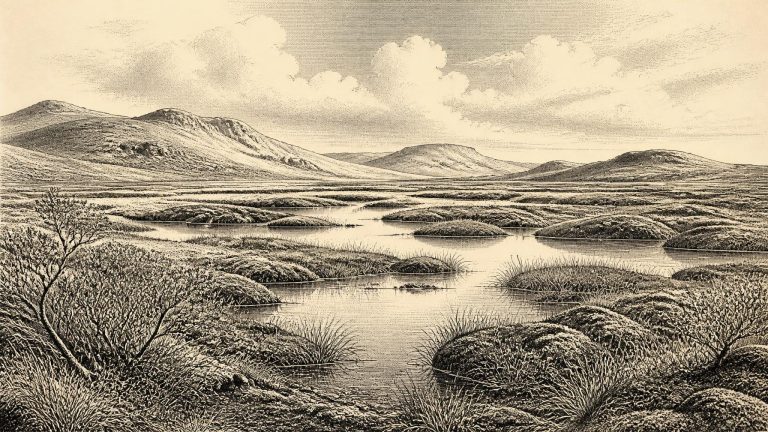
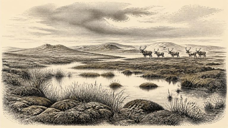
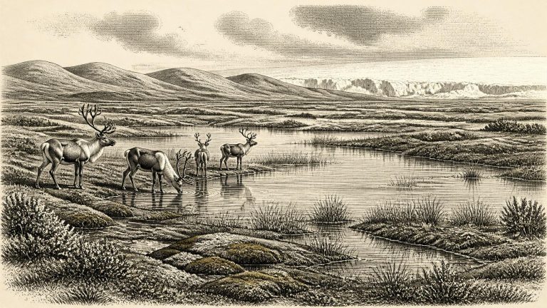
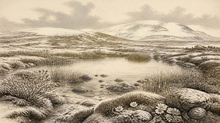
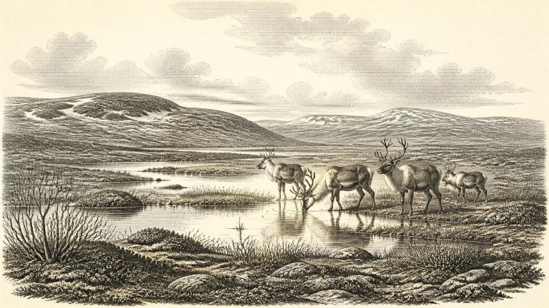
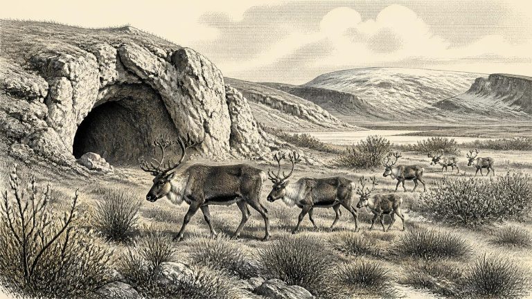
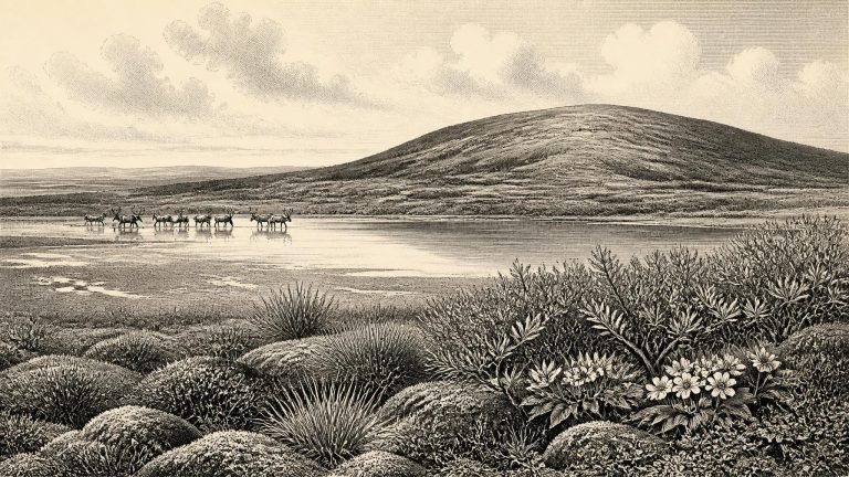
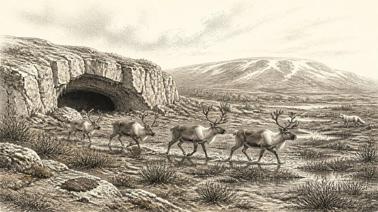
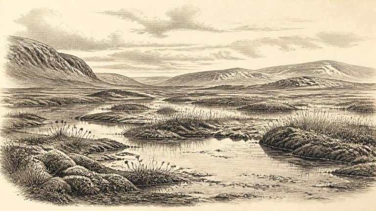
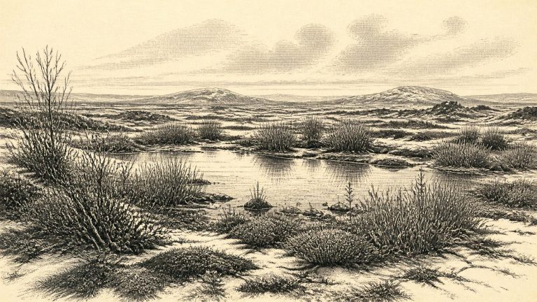
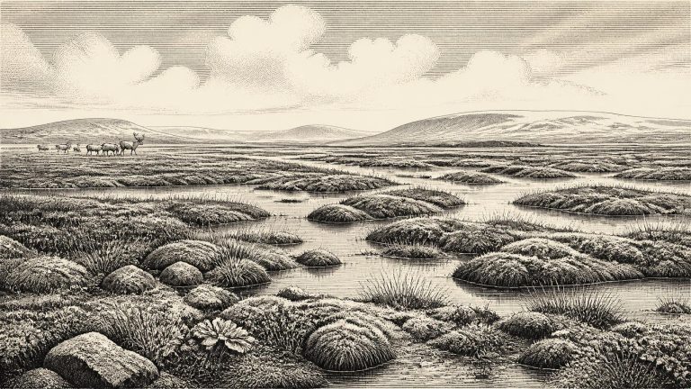
Derryvree was exposed during roadworks in 1969, where a cut through a drumlin revealed a freshwater sequence trapped between two thick tills, sediments laid down by ice. This arrangement is the key to its importance. The lower till records an earlier glacial episode; above it lay silts, sands and organic material accumulating when water, vegetation and animals occupied the locality; the upper till shows that ice later returned and buried the wetland. The deposit is therefore not a snapshot of an untouched landscape. It is a small, exceptionally valuable survival from an interval between advances of ice.