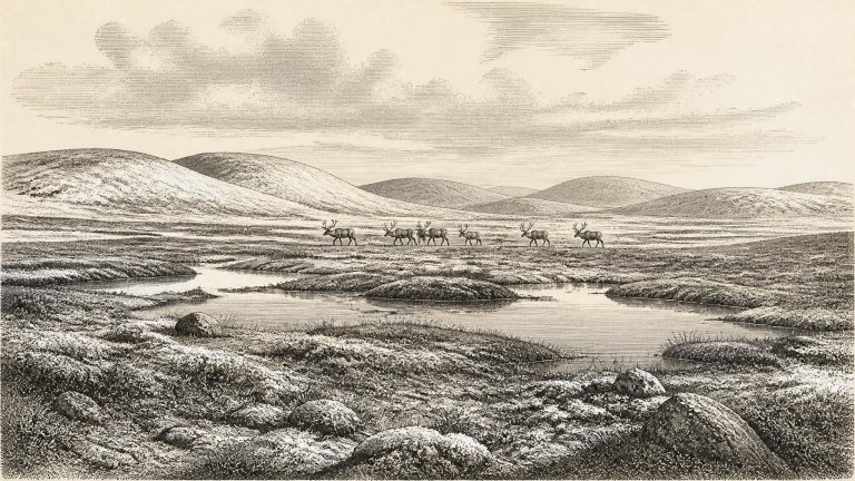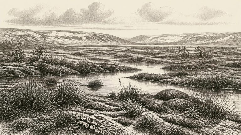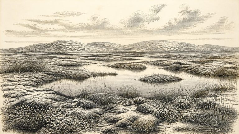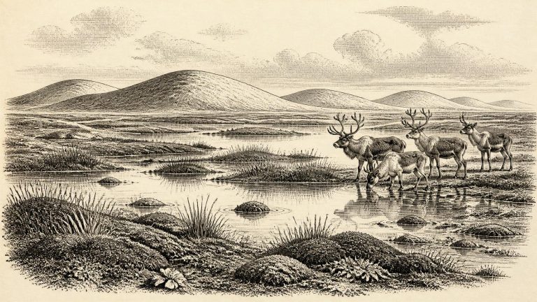
Archive: Ireland Year by Year

30510–30501 BCE

BIRM-166’s Calibrated Window

BIRM-166’s Calibrated Window

Modern calendar-year precision is unavailable. The closest particularly informative Irish deposit is at Derryvree, near Maguiresbridge in County Fermanagh. Organic material from its freshwater sediments produced the radiocarbon determination BIRM-166: 30,500 radiocarbon years before present, with a substantial published uncertainty of +1,170 and −1,030 years. In radiocarbon terminology, “present” means AD 1950, not the present day. Atmospheric radiocarbon has fluctuated through time, so such measurements cannot simply be subtracted from 1950 to yield a calendar year.
Freshwater Beneath a Drumlin

Freshwater Beneath a Drumlin

Radiocarbon dating does not produce a direct Gregorian or BC date. A laboratory result measures the remaining carbon-14 in once-living material, expressed in radiocarbon years before present, where “present” conventionally means AD 1950. Scientists then calibrate that result against independently dated records of past atmospheric carbon. At ages beyond 30,000 years, uncertainties widen appreciably: a single determination can correspond to a calibrated span of centuries or millennia, rather than one calendar year.
BIRM-166 and the Lost Wetland

BIRM-166 and the Lost Wetland

The nearest major Irish chronological anchor is the freshwater deposit found at Derryvree, near Maguiresbridge in County Fermanagh. Roadworks in 1969 cut through a drumlin and revealed organic silts and fine sands trapped between two tills: sediments left directly by separate episodes of glacier ice. The sequence establishes an important order of events. Ice affected the locality; a wetland or shallow-water environment then existed there; and a later ice advance sealed the organic bed beneath fresh glacial sediment. A sample from that bed, BIRM-166, returned a conventional radiocarbon age of 30,500 years BP, with a large uncertainty of +1,170/−1,030 years.

Derryvree’s Intertill Bryophytes

Derryvree’s Intertill Bryophytes

The position of the Derryvree deposit is its most decisive feature. A lower till indicates an earlier glacial occupation of the site. Above it lies the freshwater sequence, formed when ice no longer covered this part of south Fermanagh and water, sediments, plants and insects accumulated. An upper till records a later return of glacier ice. The sequence establishes a local non-glacial interval between advances, preserved because subsequent ice buried rather than entirely eroded it.

Maguirebridge’s Arctic Herbarium

Maguirebridge’s Arctic Herbarium

The crucial Derryvree sample, laboratory number Birm-166, produced a conventional radiocarbon result of 30,500 years before present, with a substantial uncertainty of minus 1,030 and plus 1,170 years. “Before present” conventionally means before 1950, and a radiocarbon age is not a calendar date. Changes in atmospheric carbon-14 mean that such determinations must be calibrated. Later scholarship places the Derryvree organic silts broadly at about 36,900–31,700 calibrated years before present, approximately 34,950–29,750 BCE. Thus 30,506 BCE falls within the wide chronological range that this deposit can responsibly illuminate; it is emphatically not the year in which the mud accumulated, a seed fell, or an animal visited the water’s edge.

A Moss Bed at Maguiresbridge

A Moss Bed at Maguiresbridge

30,507 BCE is a modern chronological label, not a year that can be recovered from an Irish record of events. No written sources, monuments, settlements or securely dated human communities allow historians to describe a particular season, leader or incident in Ireland at this depth of time. Calendar-year precision is unavailable. The responsible approach is to place the date within the later Pleistocene, broadly Marine Isotope Stage 3, and to use evidence with its uncertainty intact. The closest especially informative Irish archive is not an archaeological site in the ordinary sense, but a buried freshwater deposit at Derryvree, near Maguiresbridge in County Fermanagh. Its conventional radiocarbon determination, Birm-166, was 30,500 +1,170/−1,030 radiocarbon years BP. Published discussion places its broad calibrated span at roughly 36,900–31,700 calendar years BP: a range wide enough to include the modern label 30,507 BCE, but emphatically not evidence that the sediment formed in that exact year.

Derryvree’s Mossy Mud

Derryvree’s Mossy Mud

The archaeological period is the Upper Palaeolithic in the broad European sense, but that label should not imply that Ireland has a comparable record of camps, toolkits and burials. For the island itself, the relevant geological framework is the Late Midlandian glaciation, the Irish expression of the Late Devensian. Its chronology remains difficult because advancing ice repeatedly eroded, mixed and buried older ground surfaces. What survives is fragmentary, and much of what once lay along coasts or low-lying routes is now offshore, beneath later sediments, or destroyed by glacial action.

Castlepook and the Buried Wetland

Castlepook and the Buried Wetland

The closest Irish environmental evidence comes from Derryvree, near Maguiresbridge in County Fermanagh. Roadworks exposed a remarkable succession inside a drumlin: glacial till below, freshwater silts and organic deposits in the middle, and another till above. The sequence establishes a clear order of events. Ice occupied the locality, then a period of standing or slow-moving freshwater allowed fine sediment and organic matter to accumulate, and later ice or glacial meltwater buried that record. It is an unusually valuable Irish window on a time for which exposed landscapes have mostly been erased or remodelled by later glaciation.

Bogbean Below Fermanagh Drumlins

Bogbean Below Fermanagh Drumlins

This was part of Marine Isotope Stage 3, an unstable late-Ice-Age period in which severe cold alternated with comparatively less hostile intervals. Ireland was moving towards the Last Glacial Maximum, when the British–Irish Ice Sheet expanded across and beyond much of the island. Modern reconstructions indicate major ice-sheet growth between about 31,000 and 26,000 calendar years ago. That wider trajectory matters, but it must not be turned into a map for one imagined day in 30,510 BCE. Ice margins advanced and retreated unevenly; conditions differed sharply between uplands, lowlands, coasts and sheltered basins.

30520–30511 BCE

Derryvree’s Treeless Waters

Derryvree’s Treeless Waters

Ireland was then part of a far larger north-west European world, though its precise coastline and connections changed with sea level, glacial loading and ice advance. It was not yet the familiar temperate island of woods, pasture and enclosed fields. During glacial phases, much water was locked in continental ice sheets, lowering sea levels and exposing substantial areas of what are now shallow seas. That could reduce marine barriers between Ireland and Britain, but it does not prove that a continuous, easy land route existed at every moment, or that people used one.

Derryvree’s 30,500-Year Silts

Derryvree’s 30,500-Year Silts

The most important Irish record for this broad interval lies at Derryvree, near Maguiresbridge in County Fermanagh. Roadworks in 1969 cut through a drumlin and revealed a remarkable sequence: glacial till below, freshwater silts and fine sands with organic material in the middle, and another thick till above. This was no ordinary pond deposit. Its position between two ice-laid sediments shows that ice had occupied the locality, then conditions allowed a freshwater environment to develop, before renewed glacial activity buried and protected the evidence.

Derryvree’s Hidden Muskeg

Derryvree’s Hidden Muskeg

The most useful Irish evidence is the Derryvree freshwater sequence near Maguiresbridge, County Fermanagh. It was exposed when a road cutting passed through a drumlin, revealing a remarkable order of deposits: a lower glacial till, then sands, freshwater silts and organic-rich muds, followed by an upper till. Till is the unsorted sediment left directly by glacier ice. This sequence establishes a basic and important fact. Ice had occupied the locality; later, a period without overriding ice allowed water, sediment, plants and insects to accumulate; subsequently, ice returned and sealed the wetland beneath a further glacial deposit.

Derryvree’s Sedgebank

Derryvree’s Sedgebank

Derryvree was exposed by road works in 1969, when a cutting passed through a drumlin: one of the streamlined hills which now characterise much of Fermanagh. The section was remarkable because freshwater silts, fine sands and organic mud lay between two deposits of glacial till. The lower till records an earlier occupation by ice. Above it, the freshwater sediments show that ice had withdrawn from this locality long enough for water, plants, invertebrates and sediment to accumulate. The upper till records a later return or expansion of glacier ice which sealed the evidence beneath it.

BIRM-166’s Tundra Mosses

BIRM-166’s Tundra Mosses

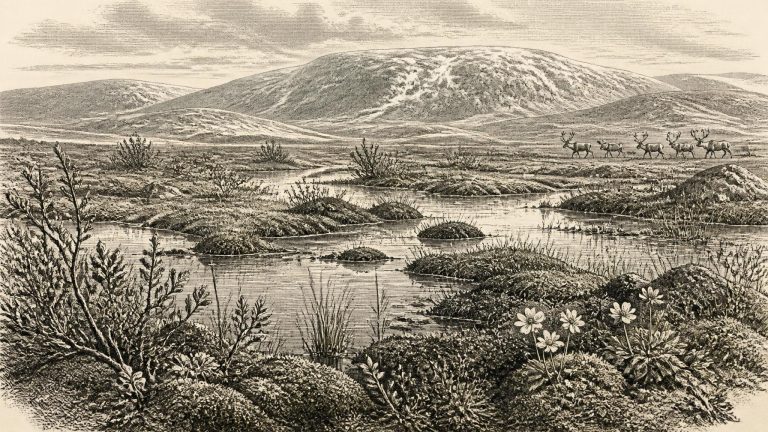
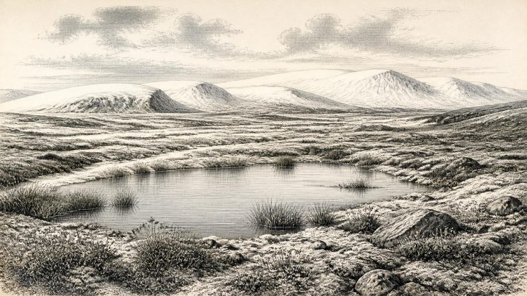
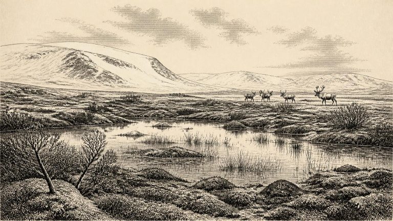
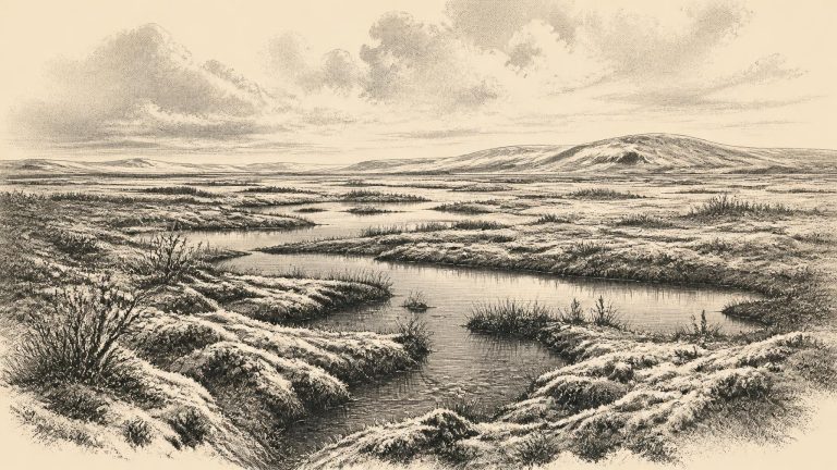
Derryvree matters because it disproves any picture of Ireland as uniformly sealed beneath ice throughout the whole Ice Age. At the time represented by its sediments, this part of Fermanagh was locally ice-free. Fine mineral material settled in standing or slow-moving water; organic remains accumulated among wet ground and shallow pools. The freshwater bed was later compressed and protected beneath glacial deposits, preserving an unusually valuable environmental archive. Yet it is an archive for a locality, not an island-wide weather report. It demonstrates that conditions suitable for tundra vegetation and wetland life occurred near Maguiresbridge; it cannot map the limits of every ice lobe, coast or upland across Ireland in a particular year.

Maguirebridge’s Frozen Fen

Maguirebridge’s Frozen Fen

Organic material from the Derryvree deposits produced the radiocarbon determination BIRM-166: 30,500 radiocarbon years BP, with a large quoted uncertainty of +1,170/−1,030 years. It is a conventional radiocarbon age, not a calendar date and not proof that the pool existed in one particular numbered year. Calibration with modern Northern Hemisphere curves places a result of this antiquity broadly in the mid-30,000s cal BP, but its uncertainty and the character of the original organic sample require broad ranges rather than false precision. It nonetheless provides strong evidence that this part of Fermanagh was ice-free long enough for a freshwater basin and its vegetation to develop before a later glacial advance.

The Maguiresbridge Silt Archive

The Maguiresbridge Silt Archive

Derryvree was exposed in road works during 1969, when a cutting passed through a drumlin: one of the smooth, elongated hills formed beneath moving glacier ice. The section revealed an unusual sequence. Thick glacial tills—sediment laid down directly by ice—occurred both below and above a layer of freshwater silts and fine sands. Between those tills lay organic material containing fossil plants and insects. The basic inference is firm: when the freshwater layer accumulated, this part of south Fermanagh was not buried beneath active ice. At earlier and later stages, glaciers had crossed the locality and left their debris behind.

Derryvree’s Buried Water-Meadow

Derryvree’s Buried Water-Meadow

The principal Derryvree radiocarbon measurement, BIRM-166, returned an age of 30,500 radiocarbon years before present, with a substantial uncertainty of +1,170 and −1,030 years. A radiocarbon age is not a calendar age. Atmospheric carbon-14 varied over time, and early results must be calibrated against a changing international curve; at this antiquity the result is necessarily a range, not a pinpoint. Published discussion has placed the Derryvree organic layer broadly between about 36,900 and 31,700 calibrated years before present. The modern label 30,518 BCE lies within that large chronological neighbourhood, but it cannot identify a particular season, generation or moment represented by the sediments.

Maguirebridge’s Ancient Bogbean

Maguirebridge’s Ancient Bogbean

The distinction between a radiocarbon age and a calendar date is crucial. At Derryvree, organic silts and fine sands yielded the determination Birm-166: 30,500 radiocarbon years before present, with a large quoted uncertainty of +1,170 and −1,030 years. That measurement dates organic material in a deposit, not a historical episode. Because atmospheric radiocarbon levels changed substantially during the Ice Age, such results must be calibrated against internationally maintained curves. Published discussion places the Derryvree evidence broadly within a calibrated span of approximately 36,900–31,700 years before present. The modern label 30,519 BCE lies within that wide window, but it cannot be assigned to a particular layer, season, animal death or human action.

Derryvree’s Buried Catchment

Derryvree’s Buried Catchment

The closest Irish chronological anchor is an exceptional exposure at Derryvree townland, near Maguiresbridge in County Fermanagh. Roadworks in 1969 cut through a drumlin—a hill shaped and built by glacial action—and revealed freshwater silts, fine sands and organic sediment lying between two thick layers of till. Till is the unsorted debris deposited directly by ice. The sequence is important because it records three large environmental episodes in the correct order: an earlier occupation by ice, an interval in which water and vegetation persisted, and a later return of ice that sealed the evidence.

30530–30521 BCE

Castlepook’s Woolly Mammoth

Castlepook’s Woolly Mammoth

Radiocarbon chronology is essential here, but it does not turn the past into a diary. A radiocarbon determination measures the remaining carbon-14 in once-living material and must be calibrated against long-term variations in atmospheric carbon. The resulting calendar estimates can span many centuries or millennia, especially beyond 30,000 years ago. They date the death of an animal or the formation of organic sediment, not necessarily the time when an associated bone was moved, marked or excavated.

Hyenahall’s Reindeer World

Hyenahall’s Reindeer World

30,522 BCE is a modern chronological label, not a year that can be identified in an Irish record. No calendar, writing, annual sediment layer or securely dated human episode allows historians to say what happened in Ireland in that particular year. In archaeological convention it falls about 32,472 years before AD 1950, in the later part of Marine Isotope Stage 3 (MIS 3), a long and climatically unstable stretch of the last Ice Age. The responsible history of Ireland at this depth of time is consequently a reconstruction from buried mud, fossil plants and insects, animal bone, cave sediments and the tracks left by glacier ice—not an annal of people or events.

Courtmacsherry’s Raised Shore

Courtmacsherry’s Raised Shore

At approximately 32,500 calibrated years before present, the North Atlantic climate was capable of changing sharply over periods far shorter than the archaeological timescales available in Ireland. Greenland ice-core chronologies place this horizon close to the transition from Greenland Stadial 6 into Greenland Interstadial 5.2, one of the abrupt cold-to-milder shifts characteristic of the last glacial period. That is valuable regional context, but it is not an Irish weather record. A change registered in Greenland did not translate mechanically into a particular temperature, snowfall total or season in Cork, Fermanagh or Donegal.

Fermanagh’s Fringed Sandwort

Fermanagh’s Fringed Sandwort

The most informative Irish environmental record close to this notional date is the Middle Midlandian freshwater sequence at Derryvree. Road works in 1969 cut through a drumlin about two kilometres north-east of Maguiresbridge and exposed silts, fine sands and organic material enclosed between two distinct tills: sediments deposited directly by glacial ice. The sequence gives an unusually clear order of events. Ice had affected the locality; a freshwater and wet-ground environment subsequently existed long enough for sediment and biological remains to accumulate; then later glaciation covered and preserved the deposit beneath another till.

Derryvree’s Intertill Chronicle

Derryvree’s Intertill Chronicle

Derryvree is important because its layers record a sequence rather than a single moment. An earlier glacier deposited the lower till: dense, unsorted material containing clay, stones and debris moved by ice. Afterwards, at least locally, glacier ice no longer occupied the hollow. Fresh water accumulated, and silts, fine sands and organic matter settled on its bed. Later, ice or ice-proximal glacial processes laid down a second thick till above it, sealing the deposit within the drumlin landscape of Fermanagh.

Derryvree’s Buried Lake Margin

Derryvree’s Buried Lake Margin

The closest Irish chronological anchor is Derryvree, near Maguiresbridge in County Fermanagh. Roadworks in 1969 exposed a drumlin sliced open by excavation. Between two separate sheets of glacial till lay freshwater silts and fine sands containing organic material. A radiocarbon determination, BIRM-166, gave an age of 30,500 ± 1,100 radiocarbon years before present. Subsequent discussion expresses its calibrated range as roughly 36,900–31,700 calendar years before present, or approximately 34,950–29,750 BCE. The requested year falls inside that broad range, but cannot be assigned to a particular bed, season or ecological episode at Derryvree.

BIRM-166’s Tundra Pool

BIRM-166’s Tundra Pool

Derryvree’s great importance lies in its sequence rather than in a single date. First, ice deposited the lower till. Then the locality was ice-free long enough for shallow freshwater, mud and organic material to accumulate. Finally, later ice or ice-derived sediment covered the deposit beneath the upper till. This is firm stratigraphic evidence for environmental change at one site. It does not demonstrate that all Ireland was simultaneously open ground, nor does it reveal precisely how long the freshwater episode lasted.

Mosses Beneath the Drumlin

Mosses Beneath the Drumlin

The most informative Irish archive for this general period lies at Derryvree, near Maguiresbridge in County Fermanagh. Roadworks in 1969 cut through a drumlin and revealed freshwater silts and fine sands sealed between two substantial layers of till: unsorted debris deposited directly by glacier ice. The sequence provides a firm relative history. An earlier ice advance left the lower till; a period without local ice cover allowed freshwater sediments and organic remains to accumulate; a later advance covered the deposit with a second till sheet. It is evidence for changing local conditions, not a claim that all Ireland was ice-free at once.

Derryvree’s Iceward Silts

Derryvree’s Iceward Silts

Derryvree’s importance lies in its position between tills. Till is unsorted material left directly by glacier ice, so the freshwater beds demonstrate that this part of Fermanagh was ice-free for a time between glacial advances. They preserve a local environmental interval rather than a continuous national history. Nevertheless, their plants, pollen and small animal remains offer unusually direct evidence of a landscape that existed before renewed ice covered or reshaped much of the region.

Maguirebridge’s Periglacial Waters

Maguirebridge’s Periglacial Waters

Derryvree was exposed during roadworks in 1969, where a cut through a drumlin revealed a freshwater sequence trapped between two thick tills, sediments laid down by ice. This arrangement is the key to its importance. The lower till records an earlier glacial episode; above it lay silts, sands and organic material accumulating when water, vegetation and animals occupied the locality; the upper till shows that ice later returned and buried the wetland. The deposit is therefore not a snapshot of an untouched landscape. It is a small, exceptionally valuable survival from an interval between advances of ice.

30540–30531 BCE

Threeleaf Seed Beneath Fermanagh

Threeleaf Seed Beneath Fermanagh

The notional date falls about 32,481 years before AD 1950, the conventional “present” used in radiocarbon dating. That arithmetic does not make it a recoverable historical moment. A radiocarbon measurement is not a calendar date because atmospheric carbon-14 levels have varied over time. Results must be calibrated against independent records, and uncertainty increases markedly so far back in time. IntCal20, the principal Northern Hemisphere calibration curve, reaches to 55,000 calendar years before present, but its purpose is to provide probability ranges rather than false annual precision.