Archive: Ireland Year by Year

30560–30551 BCE

Dwarf Willow in Fermanagh

Dwarf Willow in Fermanagh

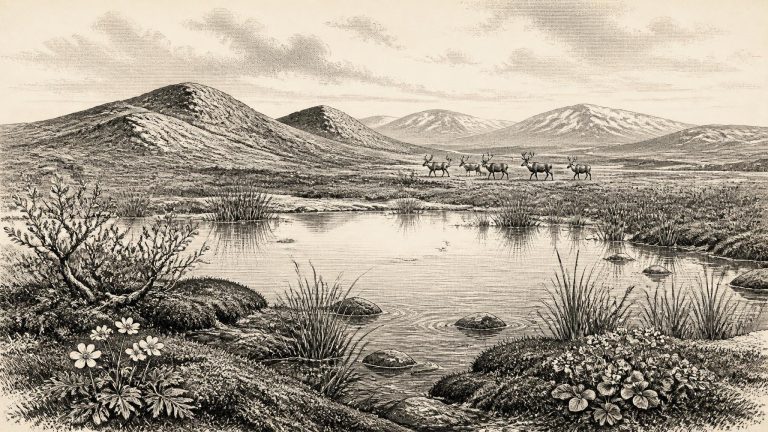
The Derryvree organic deposit produced the conventional radiocarbon determination BIRM-166, reported as 30,500 radiocarbon years BP with a substantial uncertainty of +1,170/−1,030 years. A radiocarbon age is not equivalent to a calendar age. Atmospheric carbon-14 concentrations changed through time, so laboratory measurements must be compared with calibration curves such as IntCal20. At this antiquity, calibration produces broad probability distributions rather than a precise date. The deposit is generally placed in the middle part of the Midlandian, the Irish name often used for the last glacial stage.
30570–30561 BCE

Bogbean Beside the Drumlins

Bogbean Beside the Drumlins

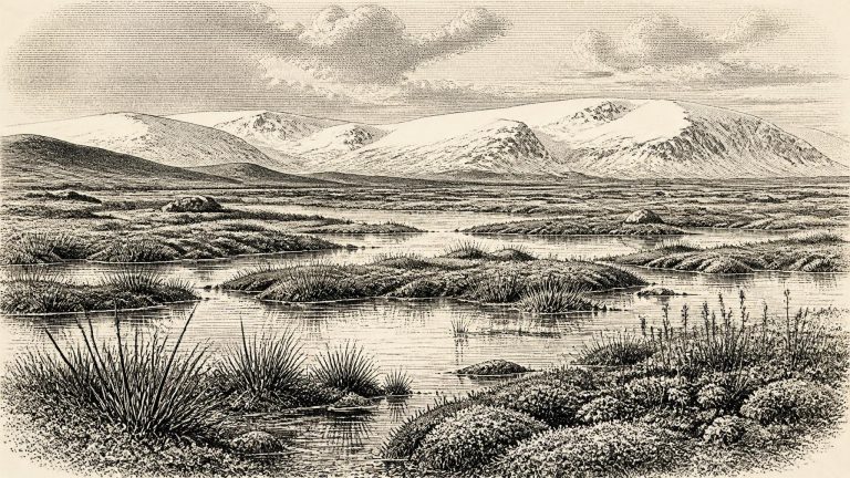
The conventional radiocarbon determination most relevant to this period is BIRM-166 from Derryvree: 30,500 radiocarbon years before present, with a large published error range of +1,170/−1,030 years. “Before present” is conventionally counted from AD 1950; it is not the same as a BCE date. Because atmospheric radiocarbon changed over millennia, such measurements must be calibrated, and their calendar equivalents at this age are broad rather than annual. Modern calibration curves extend this far back, but they do not turn a single legacy sample into a precise historical timestamp. Derryvree can responsibly illuminate conditions spanning the later 30th millennium calibrated years before present, not prove what occurred on a particular day, or even in a particular human lifetime, in 30,561 BCE.

The BIRM-166 Datum

The BIRM-166 Datum

30,562 BCE is not a year that can be recovered from Irish prehistory in the ordinary historical sense. Nobody in Ireland is known to have used a calendar, made a written record, or left an event that can be fixed to this numbered year. The label is a modern chronological convenience: expressed in the convention that counts calibrated years before AD 1950, it falls roughly 32,511 years ago. It belongs to the Late Pleistocene, within Marine Isotope Stage 3, a long, sharply variable part of the last Ice Age. The responsible history for this date is therefore not a tale of rulers or battles, but an account of what buried sediments, fossil plants, animal bones and glacial landforms can—and cannot—show.

Derryvree’s Water-Milfoil Reach

Derryvree’s Water-Milfoil Reach

This was long before farming, villages, metalworking, named peoples or any recoverable political order in Ireland. It also preceded the fullest expansion of the last British–Irish Ice Sheet, which later covered most or all of the island and adjoining shelf. The phrase “Ireland in 30,563 BCE” should not imply a coherent country with fixed coastlines or borders. Sea level was much lower than today because vast quantities of water were locked in global ice sheets; shorelines lay farther out, while the physical links and barriers between Ireland, Britain and continental Europe altered repeatedly over millennia.

Derryvree’s Freshwater Mosses

Derryvree’s Freshwater Mosses

The Ireland of this remote period has left no written record, no named inhabitants and no securely dated camp dated precisely to this point. Its evidence is geological and biological: layers of till deposited by glaciers, freshwater silts, pollen, plant fragments, insect remains, animal bones and cave sediments. Much has also been destroyed or disturbed by later ice advances. The history available for 30,564 BCE is therefore principally an environmental history, reconstructed from deposits that often represent centuries or millennia rather than a single generation.

Maguirebridge’s Periglacial Ledger

Maguirebridge’s Periglacial Ledger

Derryvree was an important discovery because its silts and fine sands lay between two layers of till, the unsorted debris deposited by moving glacier ice. The sequence records three large-scale environmental facts: ice had previously affected the locality; an interval followed in which fresh water and wet ground existed there; and later glacial deposition sealed the evidence. It is therefore a warning against treating Ice Age Ireland as uniformly, continuously ice-covered. At least in this part of Fermanagh, conditions were locally ice-free for a time during MIS 3.

Castlepook’s Last Open Ground

Castlepook’s Last Open Ground

The later Last Glacial Maximum left the dominant physical signature on Ireland: till, drumlins, erratic boulders, scoured rock, moraines and reshaped valleys. Yet these familiar landforms cannot be assigned simply to 30,566 BCE. Recent reconstructions show that the British–Irish Ice Sheet grew and reached local maxima at different times in different sectors, with advances and retreat beginning asynchronously between roughly 30,000 and 22,000 years ago. The configuration of ice over Ireland at about 32,500 calibrated years before present therefore remains less securely known than the configuration of the later maximum.

Elephant Hall Reexcavation

Elephant Hall Reexcavation

This was part of Marine Isotope Stage 3, a long cold phase of the last glacial cycle marked by abrupt swings rather than uniform winter. Greenland Interstadial 5.2 represents one of the relatively milder episodes registered in Greenland ice cores before the far more extensive ice growth that culminated in the Last Glacial Maximum. ‘Milder’ is comparative. It does not mean an Irish climate resembling the present, nor does it establish a particular temperature or season at any Irish location. It means that the North Atlantic climatic system was temporarily less severe than during the adjoining Greenland stadials.

Derryvree’s Buried Mosses

Derryvree’s Buried Mosses

The most relevant local evidence comes from Derryvree, near Maguiresbridge in County Fermanagh. In 1969 a road cutting exposed a drumlin made of two substantial layers of till, the sediment left by glaciers. Between them lay fine sands and organic silts from freshwater conditions. The deposit, known by its laboratory number Birm-166, produced a conventional radiocarbon determination of 30,500 years BP, with a substantial uncertainty. Subsequent discussions using calibrated chronology place the deposit broadly within about 36,900–31,700 calibrated years BP. Thus 30,568 BCE sits inside a wide dating envelope for that buried landscape, not at a pinpoint moment within it.

Awbeg Reindeer Corridor

Awbeg Reindeer Corridor

Even apparently precise prehistoric numbers need translating with care. Radiocarbon laboratories report years “before present”, conventionally before AD 1950; those measurements must then be calibrated against changing atmospheric carbon levels to estimate calendar ages. At more than 30,000 years ago, the resulting ranges are necessarily broad. A date expressed as 30,569 BCE should therefore not be confused with an anniversary or a securely dated event. It identifies a position within a long climatic interval, not a moment that can be isolated in the archaeological record.

The BIRM-166 Drumlin Record

The BIRM-166 Drumlin Record

Derryvree was exposed by road-cutting through a drumlin in 1969. The section revealed two thick sheets of till, the unsorted sediment deposited by glacier ice, with freshwater silts, fine sands and organic mud between them. Its basic sequence is unusually powerful evidence. An earlier ice advance had covered the area; this was followed by an interval in which standing or slow-moving fresh water, wetland plants and small animals occupied a hollow; then later ice or glacial meltwater buried that landscape beneath new sediments. The deposit is not a village, campsite or cemetery. It is an environmental archive, preserved precisely because later glacial deposits sealed it.

30580–30571 BCE

BIRM-166’s Tundra Archive

BIRM-166’s Tundra Archive

The closest and most informative Irish evidence is BIRM-166, a radiocarbon determination from organic freshwater silts exposed at Derryvree, near Maguiresbridge in County Fermanagh. Road works cut through a drumlin in 1969 and revealed a remarkable sequence: a lower glacial till, then fine sands and organic-rich freshwater sediments, capped by another thick till. Till is the unsorted clay, stones and debris left by glacier ice. The arrangement establishes an important order of events. Ice had occupied this part of Fermanagh; an interval followed in which water, sediment and vegetation accumulated; later ice or ice-related deposits buried and protected the record.

Crag Cave’s Winter Dripstone

Crag Cave’s Winter Dripstone

The closest securely relevant Irish chronology comes from Derryvree near Maguiresbridge, County Fermanagh. In 1969, a road cutting exposed a remarkable sequence within a drumlin: glacial till below, freshwater silts, sands and organic sediments in the middle, and a later till above. The arrangement matters more than any single laboratory number. It shows that ice had once occupied the locality, that an interval followed in which liquid fresh water and vegetation persisted, and that a subsequent ice advance buried and protected the deposit. The key radiocarbon determination, BIRM-166, was reported as 30,500 ± 1,100 radiocarbon years BP. Calibrated using modern curves, it spans broadly about 36,900–31,700 calendar years BP. The nominal year 30,572 BCE falls within that wide range, but cannot be matched to a particular sediment layer, living plant, animal visit or human action.

Maguirebridge’s Icebound Marsh

Maguirebridge’s Icebound Marsh

At this point Ireland stood before the fullest expansion of the last British–Irish Ice Sheet. The local maximum extent of that ice sheet is generally placed around 27,000 years before present, while the global Last Glacial Maximum lasted roughly 26,500–19,000 years ago. Around the modern label 30,573 BCE, conditions were already severe and highly unstable, but Ireland was not simply a single, motionless sheet of ice. Different regions experienced different combinations of ice cover, open ground, permafrost, meltwater and cold-water wetlands. The island’s coastlines also cannot be assumed to have resembled those of today: lower global sea levels exposed wider continental shelves and altered the connections between Ireland, Britain and the European mainland.

The Bogbean Basin

The Bogbean Basin

Derryvree is an environmental archive, not an archaeological settlement. Its silts, sands, pollen, plant remains and insects show that water and life occupied a Fermanagh hollow during part of a long cold interval. They do not reveal houses, camps, fields, graves, tools or people. Yet that negative point is itself historically significant. Later ice covered and reshaped much of Ireland, destroying or dispersing fragile traces that might once have existed. The survival of this small inter-till deposit is exceptional precisely because it was sealed beneath later glacial sediment.

BIRM-166 Organic Horizon

BIRM-166 Organic Horizon

30,575 BCE is a useful modern label, not a date that people, animals or landscapes in prehistoric Ireland could have recognised. At this depth of time, no historical calendar, annual chronicle or named event exists. Nor can archaeology identify what happened in one particular year. The responsible approach is to set the date within broad, calibrated ranges and to distinguish a deposit’s direct evidence from the larger story inferred from it.

Derryvree’s Pre-LGM Wetland

Derryvree’s Pre-LGM Wetland

The closest important Irish environmental archive is at Derryvree, near Maguiresbridge in County Fermanagh. Roadworks in 1969 cut through a drumlin and exposed freshwater silts and fine sands between two separate layers of glacial till. Eric Colhoun, James Dickson, A. M. McCabe and Frederick Shotton published the sequence in 1972. Their radiocarbon determination, Birm-166, gave an age of 30,500 radiocarbon years before present, with a substantial uncertainty of +1,170 and −1,030 years. Later calibrations have placed the deposit broadly between about 36,900 and 31,700 calibrated years before present.

Castlepook’s Faunal Horizon

Castlepook’s Faunal Horizon

Ireland was then part of the wider north-west European Ice Age world, but it was not a uniform white landscape frozen in one unchanging state. The British–Irish Ice Sheet expanded and contracted over long periods, while climate swung abruptly between colder stadials and relatively milder interstadials. Greenland ice-core chronologies register several such rapid shifts around 33,000–31,000 years ago. Their exact translation into local Irish weather, glacier margins and vegetation remains difficult. They provide a regional climatic framework, not a diary of conditions in any particular Irish valley.

The Doneraile Bone Archive

The Doneraile Bone Archive

Greenland Interstadial 5.2 represents a relatively milder interruption within a long cold period. “Milder” must be understood comparatively. It does not imply a wooded Ireland, settled farmland or conditions resembling the modern climate. Across the North Atlantic world, rapid shifts in temperature, snowfall, sea ice and wind could alter the extent of open ground, the length of growing seasons and the routes available to animals. Ireland’s own response would have varied sharply by region, altitude and proximity to ice margins and coasts.

Derryvree’s GI-5.2 Waters

Derryvree’s GI-5.2 Waters

Calendar-year precision is especially inappropriate so far back. Radiocarbon dates are measured in radiocarbon years rather than calendar years, and at this age their calibrated ranges can span millennia. The internationally used IntCal20 curve extends back to 55,000 calendar years before present, but it does not turn a deposit into a record of a particular season or generation. The most that can responsibly be said is that 30,579 BCE belongs to a broad environmental interval that can be compared with Irish deposits and with the Greenland ice-core sequence.

Maguirebridge’s Freshwater Bed

Maguirebridge’s Freshwater Bed

The best local environmental window is at Derryvree, near Maguiresbridge in County Fermanagh. Roadworks in 1969 cut through a drumlin and revealed an exceptional sequence: a lower layer of glacial till, freshwater silts and fine sands with organic material, and a second till above. This order matters. Moving ice had first deposited debris; then, for an interval, water, sediment and living things accumulated in a hollow; later glacial action buried that record. Organic material from the middle deposit, laboratory determination BIRM-166, produced a conventional radiocarbon age of 30,500 years BP, with a sizeable uncertainty.

30590–30581 BCE

Sedges Beneath the Drumlin

Sedges Beneath the Drumlin

Even the dating language requires care. Radiocarbon measurements are expressed in radiocarbon years before present, conventionally before AD 1950; they are not identical to calendar years BCE. Calibration curves convert measurements into ranges of possible calendar ages, and the ranges become broad at this depth of time. The reference point for this article should consequently be understood as an approximate location within the early thirties of the thirty-third millennium before present, not as a precisely dated Irish moment. It cannot securely be equated with a named Greenland warming or cooling episode, still less with a local event in Ireland.

Bogbean and Mountain Avens

Bogbean and Mountain Avens

The most relevant Irish evidence comes from Derryvree, near Maguiresbridge in County Fermanagh. Road-cutting through a drumlin in 1969 exposed an exceptional sequence: two thick layers of till, the unsorted debris left by glacier ice, with freshwater silts and fine sands between them. The intervening deposit contained plant and animal remains and produced the conventional radiocarbon determination BIRM-166, 30,500 +1,170/−1,030 radiocarbon years BP. Under modern calibration, that measurement corresponds to a broad calendar interval, commonly expressed as roughly 36,900–31,700 calibrated years BP. The modern year-label 30,582 BCE, or about 32,531 years BP, falls within that range.

The Derryvree Fen

The Derryvree Fen

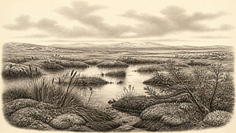
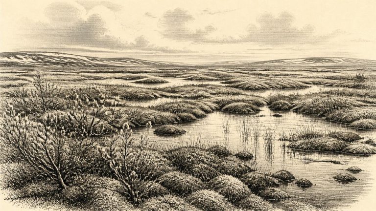
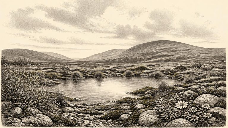
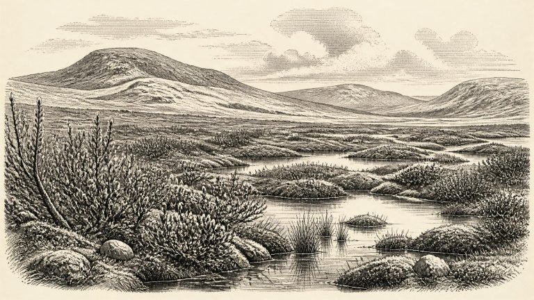
Derryvree was revealed in 1969 when roadworks cut through a drumlin, one of the streamlined hills moulded by moving glacier ice that are so characteristic of Fermanagh. Beneath one mass of glacial till and above another lay a sequence of fine sands and organic silts: the remains of freshwater and wet ground that existed during an ice-free interval before a later advance buried it. This is the central fact for Ireland at this date. The island was not uniformly sealed beneath the ice sheet familiar from the height of the last glaciation. At least in this part of Fermanagh, there was exposed land, standing or slow-moving water, vegetation, and animal life.

Colhoun’s Drumlin Section

Colhoun’s Drumlin Section

Organic material from Derryvree produced the radiocarbon measurement BIRM-166, conventionally reported as 30,500 radiocarbon years before present, with an uncertainty of +1,170 and −1,030 years. A radiocarbon age is not a calendar age, because atmospheric carbon-14 has varied through time. Using modern calibration, scholarship places the relevant Derryvree interval broadly around 36,900–31,700 calibrated years before present, approximately 34,950–29,750 BCE. The modern label 30,584 BCE falls within that wide range, but cannot be assigned to a particular bed of silt, pool, generation or human action.

Birm-166 and Bogbean

Birm-166 and Bogbean

Derryvree became known when road works in 1969 cut through a drumlin: a streamlined hill made largely of glacial sediment. Beneath one sheet of till and above another lay organic silts and fine sands, deposited in and around fresh water. This simple sequence is exceptionally valuable. The lower till shows that ice had previously affected the locality; the organic layer records a subsequent period in which open water, wet ground and living communities existed; the upper till shows that later ice advance buried and protected that evidence.

Derryvree’s Muskeg Shore

Derryvree’s Muskeg Shore

The Derryvree sequence includes organic sediments dated by a conventional radiocarbon determination, BIRM-166, to about 30,500 radiocarbon years before present, with a substantial uncertainty. Radiocarbon years are not equivalent to calendar years: the amount of carbon-14 in the atmosphere has varied through time, and very old samples carry large margins of uncertainty. Modern calibration places the determination broadly at approximately 36,900–31,700 calibrated years before present, or roughly 34,950–29,750 BCE. The modern year 30,586 BCE falls within that wide range, but it cannot be pinned to a particular layer, season, generation or episode of human activity.

BIRM-166’s Iceward Wetland

BIRM-166’s Iceward Wetland

Derryvree was exposed during roadworks in 1969, when a cutting through a drumlin revealed a striking sequence. A lower sheet of glacial till lay beneath silts, fine sands and organic sediments; another thick till capped them. Till is unsorted material deposited directly by ice. The sequence therefore supplies a secure relative order: ice affected the locality, an interval followed in which freshwater and organic matter could accumulate, and ice later returned and sealed the deposits. This does not prove that all Ireland was free of ice at once. It does establish that this part of Fermanagh experienced an ice-free or non-glacial phase between separate glacial episodes.

The Derryvree Waterline

The Derryvree Waterline

Derryvree was exposed during road works in 1969, when a cutting through a drumlin revealed a striking sequence. A lower till — the unsorted clay, stones and debris laid down by glacier ice — was overlain by freshwater silts, fine sands and organic-rich sediment, which in turn lay beneath another thick till. The sequence establishes an order, not an exact timetable: glacier ice had occupied the locality; an interval followed in which water and vegetation accumulated sediment; then ice returned or advanced over the site, sealing the deposit. Later glaciation and erosion destroyed or obscured much of Ireland’s older landscape, making this inter-till archive particularly important.

Derryvree’s Aquatic Archive

Derryvree’s Aquatic Archive

The key site is Derryvree townland, near Maguiresbridge in County Fermanagh. Roadworks in 1969 cut through a drumlin and exposed a remarkable sequence: a lower layer of glacial till, freshwater silts and fine sands rich in organic material, then an upper till. Till is the unsorted debris left directly by glacier ice. The sequence therefore establishes a clear local order of events. Ice had previously occupied the ground; later, water and living organisms accumulated sediment in an ice-free basin; subsequently, renewed glacial activity buried and protected that deposit.