Membership is completely free, giving members unlimited access to all available resources, services, features, and benefits without any restrictions or fees.
Welcome back. Sign in to continue enjoying unlimited access to all available resources, services, features, and member benefits at no cost.
Organic material from the Derryvree freshwater deposit produced radiocarbon determination BIRM-166: 30,500 radiocarbon years before present, with an uncertainty of +1,170/−1,030 years. In radiocarbon terminology, “present” means AD 1950. A radiocarbon age is not a calendar age, because atmospheric carbon-14 has varied through time. Calibration is necessary, and at this age produces a probability range rather than a date precise to a year. Published calibration places the Derryvree episode broadly at about 36,900–31,700 calibrated years before present, approximately 34,950–29,750 BCE.
In 1969 roadworks cut through a drumlin at Derryvree and revealed a striking sequence. Beneath one thick sheet of till, sediment laid down by glacier ice, and above another, lay fine sands, silts and organic mud deposited in freshwater. The sequence demonstrates an important local history: ice had occupied the area; an interval followed in which water, plants and small animals inhabited a hollow; and later glacial activity buried and preserved that wetland beneath further sediment.
At this depth of time, even a radiocarbon measurement is not a calendar date. It measures the remaining radioactive carbon in organic material and reports an age in radiocarbon years before present, where “present” conventionally means AD 1950. Because atmospheric carbon-14 varied substantially through the Ice Age, results must be calibrated against curves such as IntCal20. The calibrated answers are ranges, sometimes broad ones, rather than a single secure year. Nor does a date on a bone, seed or silt automatically date every event represented in its surrounding deposit.
Derryvree was exposed during roadworks in 1969, when a cutting passed through a drumlin, one of the smooth, elongated hills shaped beneath moving glacier ice. The section revealed two thick tills: stony, poorly sorted sediments left directly by ice. Between them lay freshwater silts, fine sands and organic material. The sequence supplies a clear relative history. Glacier ice had first occupied the locality and deposited the lower till. Later, the site was ice-free long enough for standing or slow-moving freshwater, sediment and living things to leave a record. Eventually, another glacial advance covered and preserved that evidence beneath the upper till.
The broad setting was Marine Isotope Stage 3 (MIS 3), a climatically unstable part of the last glacial cycle. Ireland lay at Europe’s Atlantic edge, affected by changing temperatures, precipitation, sea levels and the fluctuating margins of the British–Irish Ice Sheet. It was not the Last Glacial Maximum itself: that much more extensive cold-stage episode is generally placed at about 26,500–19,000 calibrated years BP. Yet the ice sheet was not simply absent before then. Recent syntheses stress that its earlier growth and retreat were complex, with ice advances, local withdrawals and substantial uncertainty about its precise extent in different regions during MIS 3.
The closest especially informative Irish archive is at Derryvree, near Maguiresbridge in County Fermanagh. Road works in 1969 cut through a drumlin and exposed an extraordinary sequence: a lower sheet of glacial till, freshwater silts and fine sands containing organic remains, and a later upper till. The order is important evidence in itself. Glacier ice had first laid down debris at the site; afterwards, a non-glacial interval allowed water, mud and living things to accumulate in a basin; later ice advanced again and buried the record beneath more till. This is not evidence for a settlement, but for changing conditions in one small part of Ireland.
Radiocarbon dating is especially important, but its limits matter. Laboratories report radiocarbon years before present, where “present” is defined as AD 1950; these are not identical to calendar years. They must be calibrated against independently dated environmental records, and the resulting probability ranges can be wide at this depth of time. Modern calibration curves extend to this period, but they do not turn a sample into evidence for a particular spring, winter or human generation.
In 1969, roadworks cut through a drumlin at Derryvree and exposed an exceptional sequence. Beneath an upper layer of glacial till and above an older till were fine sands, silts and organic muds laid down in freshwater. The order of the deposits is crucial. Ice had first affected the locality; an interval then allowed open water, wetland vegetation and sediment to accumulate; finally, a renewed ice advance covered the deposit with more till. This stratigraphy is firmer evidence than any attempt to turn a radiocarbon result into an exact calendar date.
At this depth of time, Ireland belonged to the later Pleistocene, within Marine Isotope Stage 3 and the Irish Midlandian cold stage. This was not a single, unchanging Ice Age. Northern climates shifted sharply between comparatively milder interludes and severe cold phases; ice masses expanded and retreated unevenly. Modern research likewise stresses that the growth, extent and timing of the British–Irish Ice Sheet before its later maximum remain complex and regionally variable. It would therefore be misleading to picture the whole island either as permanently ice-covered or as a uniformly habitable plain. The most responsible picture is a changing one: some parts of Ireland bore or had recently borne glacier ice, while particular localities could be ice-free long enough for water, plants, insects and animals to establish themselves.
The best Irish environmental evidence relevant to this horizon comes not from a settlement but from Derryvree townland, near Maguiresbridge in County Fermanagh. Roadworks in 1969 cut through a drumlin and exposed an extraordinary sequence: a lower glacial till, freshwater silts and fine sands containing organic material, and then an upper till. Till is the unsorted sediment deposited by glacier ice. The sequence demonstrates a local order of events: ice had crossed the site; an interval followed in which fresh water, plants and animals occupied the basin; then a later advance of ice buried and preserved the deposit.
The number 30,482 BCE should therefore not be read as a date on which a named event occurred. It is a modern conversion of a point deep in prehistory, and the scientific evidence comes with margins of error, differing dating methods and complex depositional histories. The key Derryvree measurement, BIRM-166, was obtained from organic material in moss-rich mud and gave a conventional radiocarbon age of 30,500 years before present, with a substantial uncertainty. Calibration against changing atmospheric radiocarbon levels places the deposit in a much broader calendar-age interval. The target year falls within that interval, but neither begins nor ends it.
Derryvree’s value lies in its sequence. The lower till shows that glacier ice had previously occupied the locality. Above it, freshwater sediment accumulated in an ice-free or at least locally non-glacial interval. A later till then covered the organic layers, sealing their contents beneath fresh glacial debris. This is firm evidence for changing local conditions in south Fermanagh: ice, then standing or slow-moving freshwater and vegetation, then renewed glacial activity. It is not proof that the whole island was ice-free at precisely the same time, nor a complete map of Irish ice margins.
The most relevant Irish archive is an unusual buried freshwater deposit at Derryvree, near Maguiresbridge in County Fermanagh. Road works in 1969 cut through a drumlin and exposed silts and fine sands lying between two separate sheets of glacial till. This sequence records an earlier episode of ice deposition, followed by a local interval in which fresh water and organic sediment accumulated, and then a later glacial advance that sealed the deposit. It is therefore powerful evidence for environmental change, but not a record of uninterrupted life at one spot.
The closest securely dated Irish environmental record is not a settlement but a buried freshwater deposit at Derryvree, near Maguiresbridge in County Fermanagh. Roadworks in 1969 cut through a drumlin and exposed organic silts and fine sands trapped between two distinct beds of glacial till. The sequence establishes an important order of events: glacier ice had first laid down the lower till; water, sediment, plants and small animals then occupied the site during an ice-free interval; later ice overrode the ground and sealed the deposit beneath an upper till.
The numbered year falls within Marine Isotope Stage 3, a long and climatically volatile part of the last Ice Age. At Derryvree, roadworks exposed a remarkable sequence beneath and between glacial deposits. A lower till, laid down directly by ice, was followed by freshwater silts, fine sands and organic material; a later upper till sealed the sediments. The relative sequence is secure: ice occupied the locality, an interval of water and living vegetation followed, and ice later returned. But the duration of each stage, and its relationship to every other district of Ireland, cannot be read with annual precision.
Derryvree matters because it preserves a sequence rather than an isolated fossil. Roadworks exposed freshwater silts, sands and organic deposits trapped between two tills in a Fermanagh drumlin. Till is the unsorted mixture of clay, stones and debris deposited directly by glacier ice. The order of layers shows that ice had occupied the locality, then withdrew or ceased to dominate it long enough for freshwater and wetland sediments to accumulate, before a later advance covered the deposit with fresh glacial material. It is firm evidence for an ice-free interval at this particular place; it is not proof that every part of Ireland was simultaneously green, habitable or free of ice.
Radiocarbon measurements do not translate directly into calendar years. The key Derryvree deposit produced a conventional radiocarbon result of 30,500 +1,170/−1,030 radiocarbon years before present, recorded as BIRM-166. “Before present” conventionally means before AD 1950, while radiocarbon years require calibration because atmospheric carbon-14 levels have varied. Modern calibration places the deposit broadly in the later part of the Middle Midlandian cold phase, approximately 36,900–31,700 calibrated years before present. The nominal date of 30,488 BCE, roughly 32,400 calendar years before 1950, lies within that broad window, but cannot be attached to a particular sediment layer, animal, season or human visit.
Derryvree became known when road works in 1969 cut through a drumlin, one of the streamlined hills formed beneath moving glacier ice. The exposed sequence was remarkable: freshwater silts and fine sands, including organic material, lay between two thick bodies of till. Till is the unsorted clay, stones and debris deposited directly by ice. The order of the layers is powerful evidence. Ice had occupied the site; then water accumulated in an ice-free landscape long enough to preserve sediments, plants and insects; later ice advanced again and sealed the deposit below the drumlin.
The Derryvree sequence was exposed in 1969 when roadworks cut through a drumlin. Beneath and above the organic sediments lay separate tills: unsorted debris deposited by glacier ice. Between them were fine sands, silts and organic-rich freshwater layers. Their order matters more than any imagined scene. Ice had affected the locality; an intervening period permitted water, plants and insects to leave traces; later ice sealed the deposit beneath another till. Derryvree is therefore evidence for environmental change, not a record of a single year or a complete map of Ireland.
30,491 BCE cannot responsibly be treated as a year in the ordinary historical sense. No written record, settlement sequence or archaeological deposit in Ireland has the precision to identify an event, a person or even a particular season at this point in the remote Pleistocene. The date is best used as a modern chronological marker: approximately 32,440 calendar years before AD 1950, within Marine Isotope Stage 3, a long and sharply unstable part of the last glacial cycle.
The closest relevant environmental chronology is the organic deposit exposed beneath later glacial sediments at Derryvree. Its radiocarbon determination, BIRM-166, was reported as 30,500 ± 1,100 radiocarbon years BP. Calibration produces a much broader and differently expressed calendar range, approximately 36,900–31,700 calibrated years BP in a frequently cited assessment. The conventional year 30,492 BCE falls within that wide window, but it cannot be narrowed further. The deposit demonstrates an interval between episodes of glaciation: ice had laid down a lower till, freshwater and organic sediments accumulated above it, and a subsequent advance buried the whole sequence beneath another till.
Organic material from the Derryvree freshwater deposits produced the conventional radiocarbon determination BIRM-166: 30,500 radiocarbon years before present, with an uncertainty of +1,170 and −1,030 years. Radiocarbon years are not calendar years. Calibration against records of past atmospheric carbon-14 converts that measurement into a broad calendar range commonly expressed as about 36,900–31,700 calibrated years before present. In approximate BCE terms, this spans c. 34,950–29,750 BCE. The modern label 30,493 BCE therefore falls within the wide interval represented by the deposits, but cannot be assigned to a particular sediment layer, pool, plant, animal or season.
Road works in 1969 cut through a drumlin at Derryvree and exposed an exceptional sequence. Beneath one thick layer of glacial till lay fine sands, freshwater silts and organic material; another thick till sealed them above. Till is the unsorted debris left directly by glacier ice. The order of the layers therefore provides the essential story: ice had occupied the locality, a non-glacial interval allowed water, sediment, plants and small animals to accumulate, and ice later returned. It is powerful evidence against any simple picture of Ireland as continuously blanketed by ice throughout the whole last glacial cycle.
Derryvree is the central witness. Road works in 1969 cut through a drumlin about two kilometres north-east of Maguiresbridge and revealed an exceptional sequence. A lower sheet of till — unsorted debris laid down by glacier ice — was overlain by freshwater silts, fine sands and organic layers; another thick till sheet capped the sequence. The relative history is secure. Ice had previously crossed the site. There followed an interval in which water, sediment, plants and small animals occupied a hollow in the landscape. Ice later returned and sealed that evidence beneath its debris.
Derryvree was exposed in a road cutting through a drumlin in 1969. Investigators found freshwater silts and fine sands, including organic material, trapped between two distinct sheets of till. Till is the unsorted clay, stones and larger debris laid down by glacier ice. The order of the layers is the essential evidence. Ice had earlier affected the site; then a freshwater basin accumulated sediment during a non-glacial interval; finally, later ice buried the deposit beneath another till sheet. This is a sequence of environmental change, not a record of a single season or occurrence.
Derryvree’s position between two tills is its great importance. Till is debris laid down directly by glacier ice: clay, stones and larger fragments mixed without the sorting produced by ordinary rivers. The freshwater sediments show that, for a time, local ice did not cover this part of Fermanagh. Water accumulated, fine sediment settled and organic material survived. Later ice advanced across the district, sealing the older wetland beneath another layer of glacial debris. The sequence therefore records change rather than a single, timeless “Ice Age” landscape.
Derryvree was exposed during roadworks in 1969, when a cutting passed through a drumlin north-east of Maguiresbridge. The section revealed a striking sequence: a lower sheet of glacial till, then fine sands and freshwater silts with organic material, followed by another thick till. Till is the unsorted debris deposited directly by moving ice. The sequence therefore establishes an important order of events. Ice had occupied this part of Fermanagh; an ice-free interval followed, long enough for water, sediment and organic remains to gather; then ice returned and buried the deposit beneath later glacial material.
The key northern record is Derryvree, near Maguiresbridge in County Fermanagh. Roadworks in 1969 cut through a drumlin and exposed a striking sequence: a thick lower till, freshwater silts and fine sands with organic material, then another thick till above. Till is sediment left directly by glacier ice. The order of these layers securely establishes a sequence of events: ice had occupied the locality; a period followed in which water, sediment and vegetation accumulated; then ice or glacially related deposits returned and sealed the older wetland.
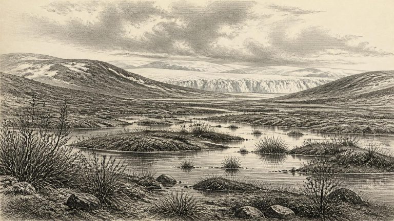
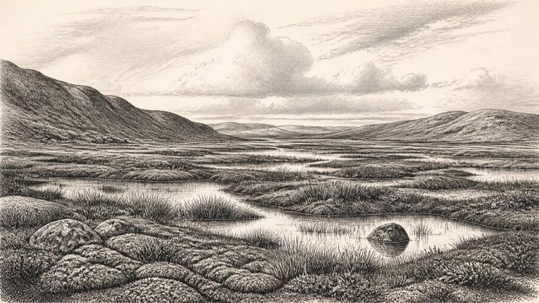
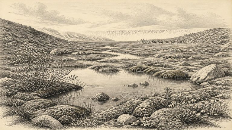
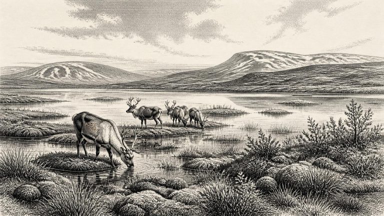
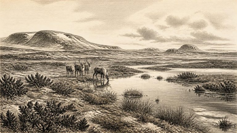
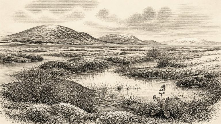
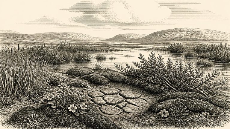
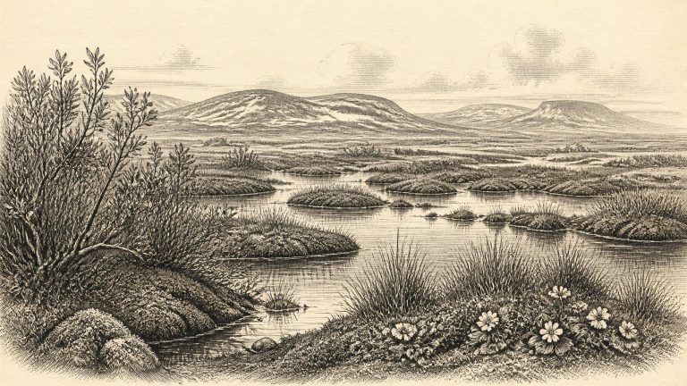
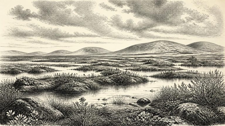
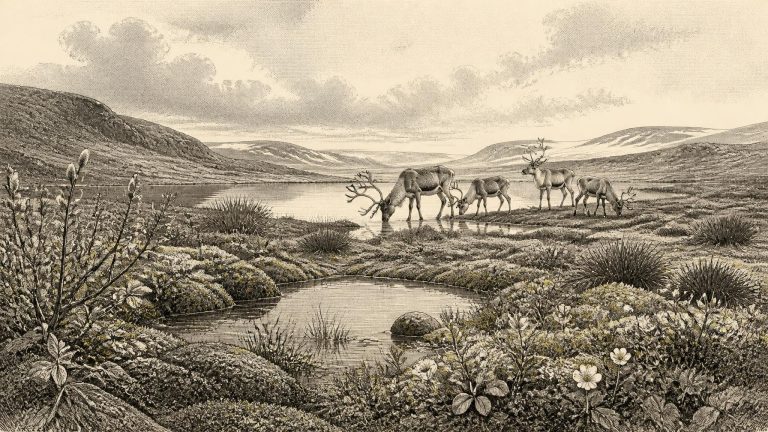
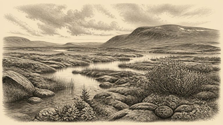
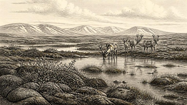
Derryvree is exceptionally valuable because it preserves a thin episode of living landscape between two bodies of glacial sediment. Roadworks in 1969 cut through a drumlin and exposed freshwater silts and fine sands sealed between two distinct till sheets. The lower till records an earlier ice advance; the organic-rich deposit represents an interval when fresh water, sediment, plants and small animals occupied the site; the upper till shows that ice later returned across the district. It is an archive of environmental change, not a settlement site. Yet it supplies some of the clearest direct evidence for what part of Ireland could have looked like in the long climatic interval around this nominal year.
A crucial site lies at Derryvree, near Maguiresbridge in County Fermanagh. Roadworks cut through a drumlin in 1969 and revealed a striking sequence: glacial till below, freshwater silts and fine sands with organic material in the middle, and another thick till above. The order is clear. Ice had affected the locality; an ice-free interval then allowed water, sediment and plant remains to accumulate; later ice overrode and sealed the deposit. This is direct evidence for changing local conditions, not an annual chronicle and not proof that the entire island was simultaneously ice-free.