Membership is completely free, giving members unlimited access to all available resources, services, features, and benefits without any restrictions or fees.
Welcome back. Sign in to continue enjoying unlimited access to all available resources, services, features, and member benefits at no cost.
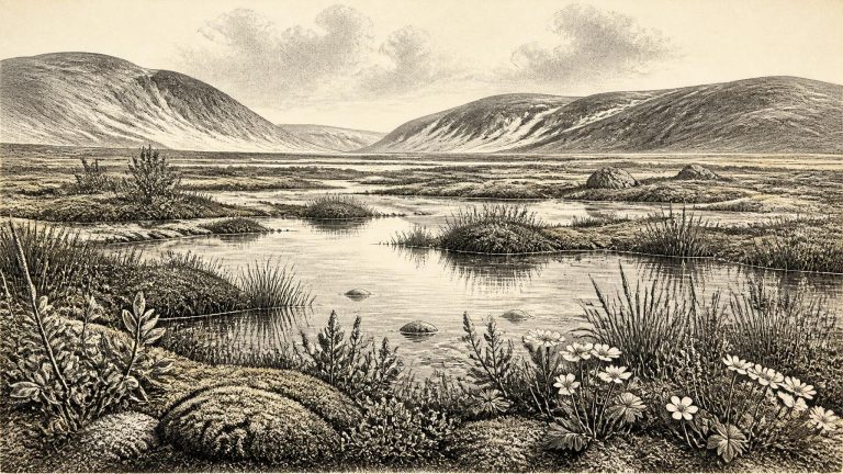
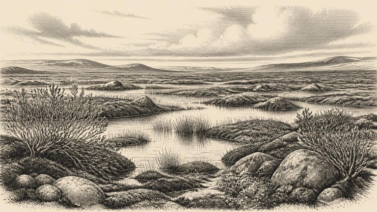
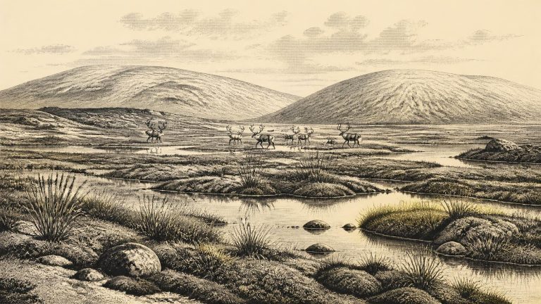
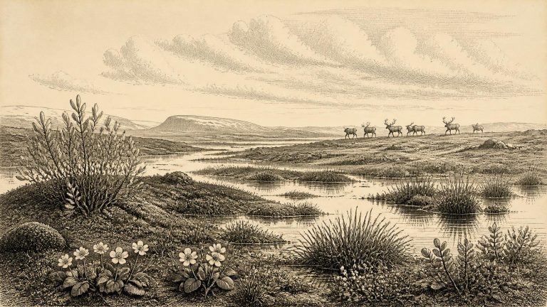
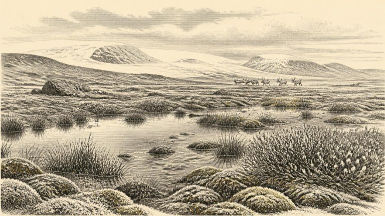
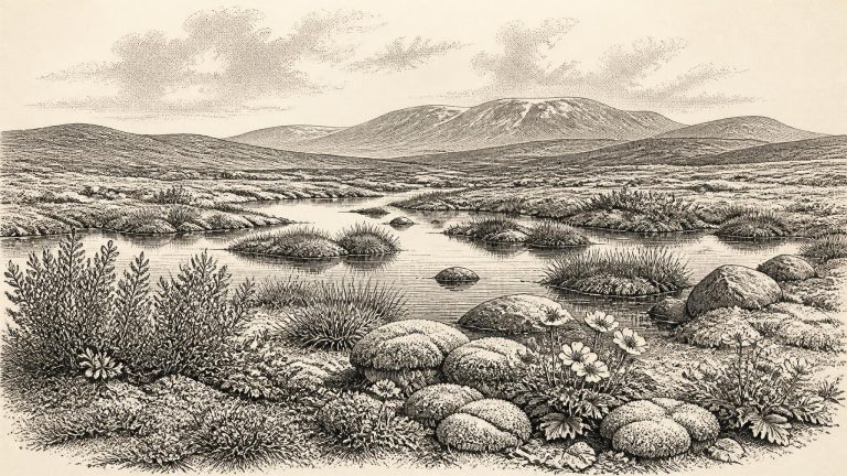
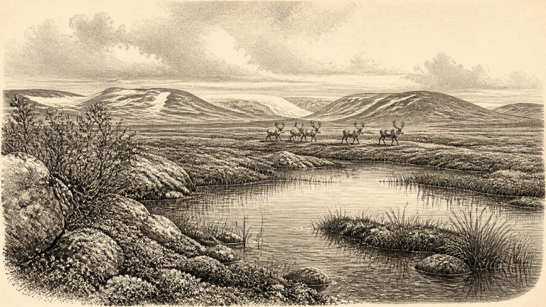
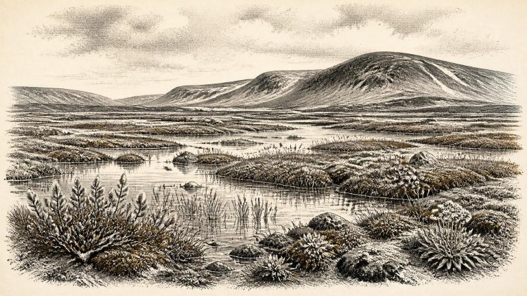
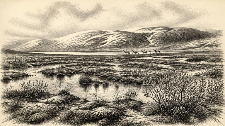
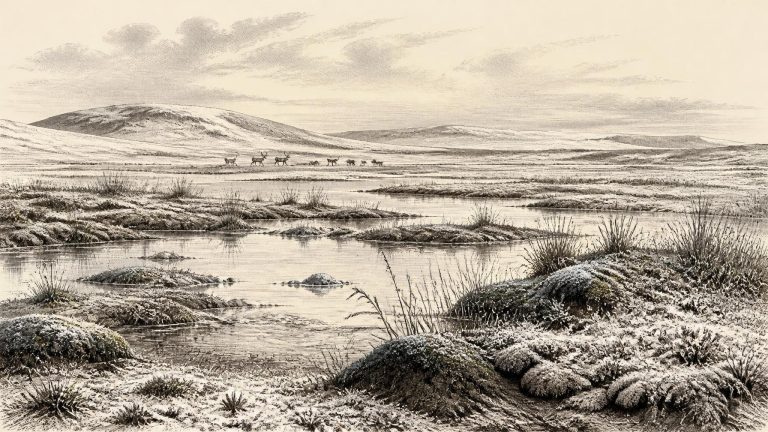
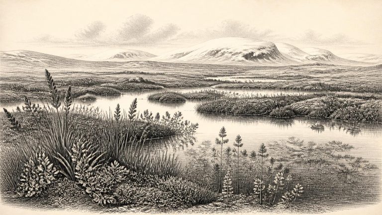
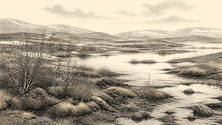
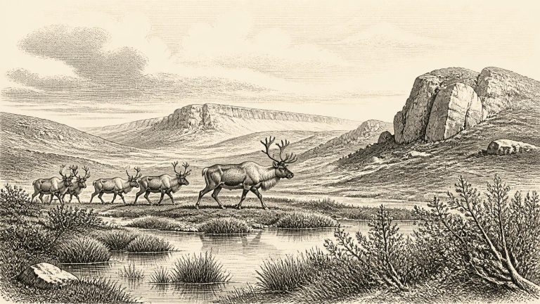
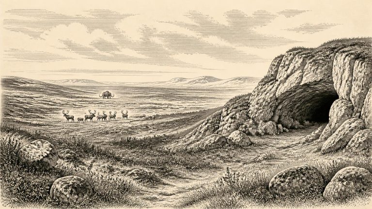
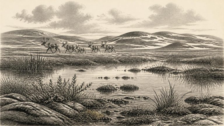
Derryvree matters because its organic horizon establishes that this part of Fermanagh was ice-free when plants grew and freshwater sediments accumulated, before later ice overrode the ground and incorporated it into a drumlin. The evidence does not show an ice-free Ireland in every direction, nor does it supply a precise map for one year. It does show a landscape of strong regional contrasts: ice centres and glaciers could occupy uplands while lower ground elsewhere supported tundra, wet hollows and shallow water. Later expansion of the British–Irish Ice Sheet would destroy, bury or rearrange much of this earlier terrain, helping to explain why surviving evidence is so fragmentary.
Modern calendar notation can mislead when applied to the deep past. “30,435 BCE” is a retrospective conversion, not a date that prehistoric inhabitants could have recognised. Radiocarbon measurements are expressed in radiocarbon years before present and must be calibrated because the amount of radioactive carbon in the atmosphere has varied through time. Even the best climate chronologies provide ranges and uncertainty rather than the certainty of a dated document.
The most illuminating Irish evidence is the Derryvree sequence near Maguiresbridge, County Fermanagh. Roadworks in 1969 exposed a section through a drumlin: beneath a thick upper layer of glacial till lay organic freshwater silts and fine sands, and beneath those lay another till. The order matters. Till is debris laid down by glacier ice; the organic beds between the two tills accumulated during a period when the site was not overridden by ice and shallow freshwater conditions existed.
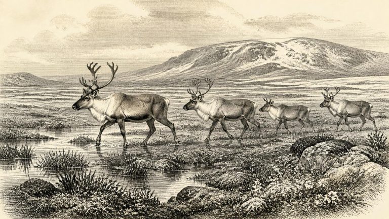
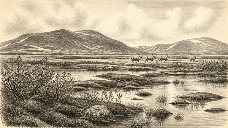
The broad setting was Marine Isotope Stage 3, a climatically volatile part of the last Ice Age. Ireland was neither permanently buried beneath the great ice sheet of later millennia nor a familiar green island of woodland, farms and coasts. Conditions changed repeatedly as temperature, precipitation, sea level and glacier extent altered. Around this notional date, the most useful evidence points to a patchwork of cold open ground, wetland and local ice in different regions, with the balance changing over long periods. The fullest expansion of the last British–Irish Ice Sheet came later; modern reconstructions place its maximum total volume at about 23,000 years before present, while also showing that its margins advanced at different times in different sectors.
The period belongs to the last glacial cycle, called the Late Midlandian in Ireland and commonly placed within Marine Isotope Stage 3 moving towards Stage 2. Modern reconstructions show the British–Irish Ice Sheet beginning a sustained expansion between about 31,000 and 26,000 years ago, before reaching its greatest overall volume much later, around 23,000 years ago. Those figures are calibrated scientific timescales, not proof that all of Ireland was simultaneously buried beneath ice. Ice growth was uneven, advancing and retreating by sector, while local conditions could differ sharply between uplands, lowlands, coasts and enclosed basins.
Even the best dates require care. Radiocarbon results are expressed first in radiocarbon years before present and then calibrated against changing atmospheric carbon levels to produce calendar-age ranges. At these depths of time, both laboratory uncertainty and the calibration curve are substantial. A single sample dates the death of an organism or the formation of organic matter, not a political event, a season or a human visit. “30,439 BCE” should thus be read as a point within a broad archaeological horizon, not as a recoverable Irish year.
The closest major Irish environmental archive is Derryvree, near Maguiresbridge in County Fermanagh. Roadworks exposed freshwater silts, sands and organic deposits between two thick layers of till, the stony sediment laid down by glacier ice. The sequence records a local order of events: ice deposited the lower till; an interval followed in which water and vegetation accumulated sediment; and later ice sealed the deposits beneath another till. Organic material from the freshwater horizon produced the radiocarbon determination BIRM-166, conventionally reported as 30,500 ± about 1,100 radiocarbon years BP.
The year 30,441 BCE cannot be treated as a date on which a recorded Irish event occurred. No writing, calendar, named community or securely dated human occupation survives from this remote part of the Late Pleistocene. Indeed, converting the modern label into archaeological time only produces an approximation: 30,441 BCE is about 32,390 years before 1950, the conventional reference point for “cal BP” dating. It falls within a long and uncertain span of climatic fluctuation during Marine Isotope Stage 3, before the Last Glacial Maximum. The responsible history of Ireland at this point is therefore not a narrative of rulers, battles or settlements, but a reconstruction assembled from sediments, fossil plants, animal bones, cave deposits and radiocarbon measurements.
Ireland at this time was not a familiar island of woods, farms and coasts. Sea level was far lower than today because immense quantities of water were locked in continental ice sheets. The Irish Sea and adjacent shelves were correspondingly altered landscapes, while routes between Ireland, Britain and mainland Europe changed repeatedly as water, ice and exposed ground shifted. It would be unsafe to imagine a single permanent land bridge, or a straightforward route that people and animals could use at will. The physical geography of the north-west European margin was dynamic, and local access could be obstructed by sea ice, glacier margins, rivers, wetlands and barren terrain.
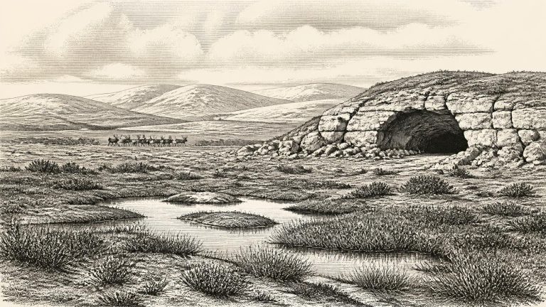
There were no Irish kingdoms, borders, rulers, treaties or written traditions at this point. Nor can archaeology identify a local community, a language, a religion or a political allegiance. The island’s deep prehistory has to be assembled from environmental evidence: the sediments laid down by water, pollen and seeds from plants, animal bones in caves, and the landforms created or altered by glaciers. These sources are powerful, but each answers different questions. A plant fossil can show that a species grew near a pool; it cannot name its human observers. A bone can establish that an animal reached Ireland; it cannot, by itself, prove a hunt, a settlement or a population.
The relevant period is the later part of the Pleistocene, within the Upper Palaeolithic era elsewhere in Europe and before the Last Glacial Maximum reached its fullest extent over Ireland. A key Irish radiocarbon determination comes from Derryvree near Maguiresbridge, County Fermanagh: organic freshwater silts, later sealed between tills, produced the conventional result BIRM-166, 30,500 ± 1,100 radiocarbon years BP. Later modelling places its central calendar estimate at about 33,500 ± 1,200 calibrated years BP. That is a broad window, not a pinpoint. It can responsibly illuminate conditions around 30,444 BCE, but it cannot demonstrate what happened in that individual year.
The most important northern record is at Derryvree, near Maguiresbridge in County Fermanagh. Roadworks in 1969 cut through a drumlin and exposed an exceptional sequence. Beneath one body of glacial till and above another lay freshwater silts, fine sands and organic deposits. The order of the layers is secure: ice had occupied the locality; conditions later permitted water, vegetation and sediment to accumulate; then ice returned or passed close enough to lay down the upper till. Derryvree therefore records an ice-free interval at one place, not a permanently ice-free Ireland.
The apparent exactness of 30,446 BCE must not be mistaken for prehistoric precision. Radiocarbon laboratories report ages in radiocarbon years before present, conventionally before AD 1950; those ages require calibration against changing atmospheric carbon levels. Even calibrated results produce probability ranges, not a date on which an Irish person did something. At this depth in time, uncertainty is substantial, and archaeological contexts may have their own complications. A date on animal bone records the death of that animal, while a date on organic sediment estimates the age of material incorporated into a deposit. Neither automatically identifies the moment at which a human, if present, visited the landscape.
Derryvree was exposed during road works in 1969, when a cut through a drumlin revealed organic silts and fine sands trapped between two thick tills, deposits left by separate advances of glacier ice. The organic layer, laboratory number BIRM-166, returned a conventional radiocarbon age of 30,500 years before present, with a substantial uncertainty of +1,170/−1,030 years. “Before present” in radiocarbon practice means before 1950, not before the present day.
The strongest Irish environmental evidence relevant to this horizon comes from Derryvree, near Maguiresbridge in County Fermanagh. Roadworks in 1969 cut through a drumlin and exposed a striking sequence: glacial till below, freshwater silts and fine sands with organic material in the middle, and a later till above. Till is the poorly sorted debris laid down directly by glacier ice. The arrangement shows, beyond reasonable doubt, that ice had affected the locality; that an intervening period then allowed standing or slow-moving fresh water, sediment and living organisms to accumulate; and that ice later returned or advanced over the site.
The best direct environmental guide is the Derryvree deposit near Maguiresbridge in County Fermanagh. Roadworks in 1969 cut through a drumlin and exposed freshwater silts and fine sands sealed between two distinct sheets of glacial till. The lower till showed that ice had already occupied the area; the upper till demonstrated that ice later returned or overran the site. Between them, however, organic sediment accumulated in a freshwater setting. Its principal radiocarbon determination, BIRM-166, was 30,500 radiocarbon years before present, with a substantial uncertainty of plus 1,170 and minus 1,030 years.
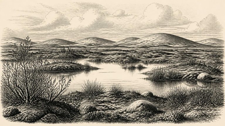
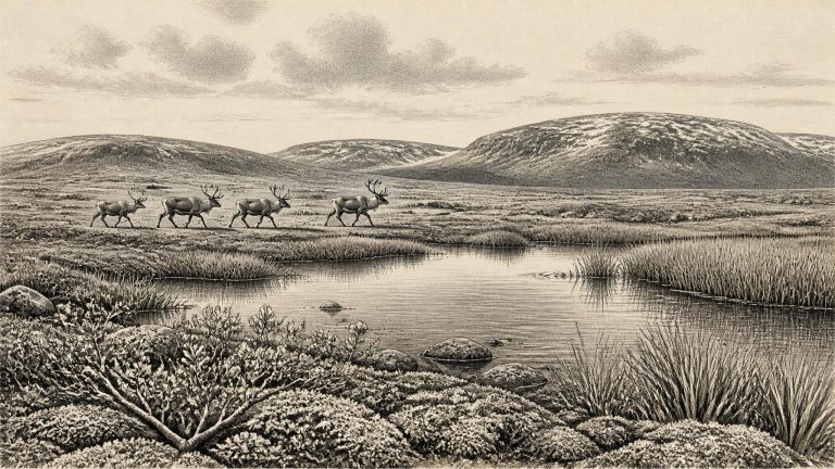
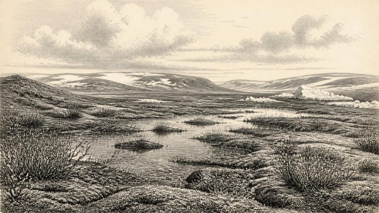
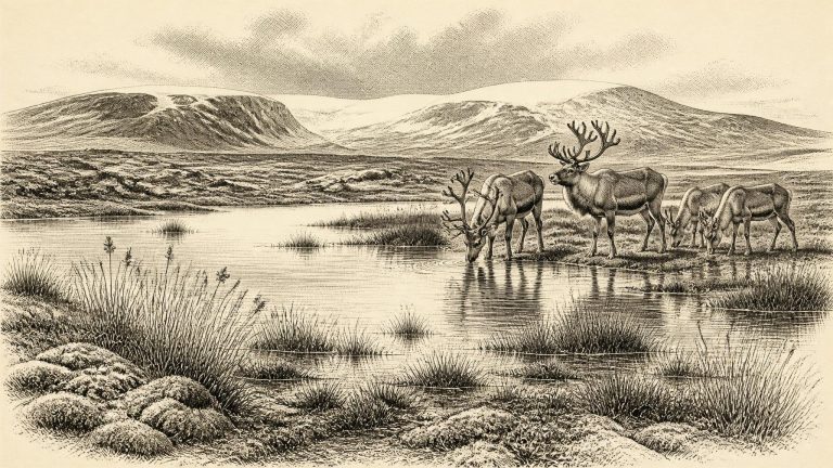
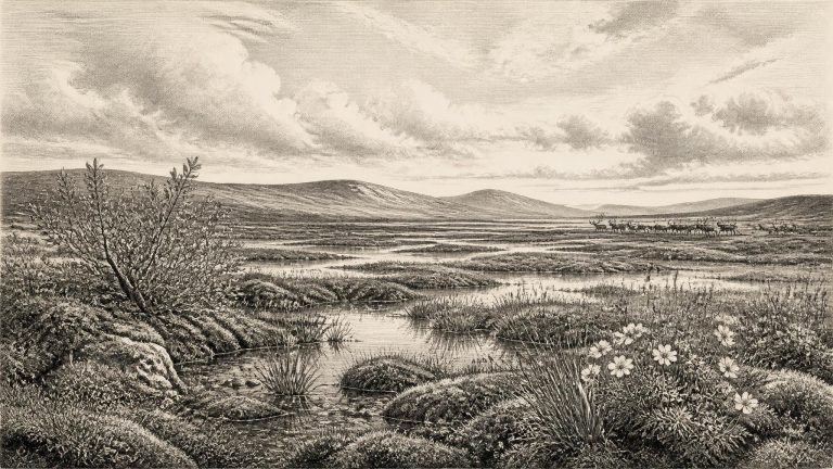
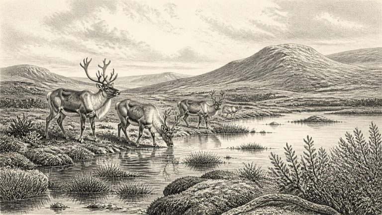
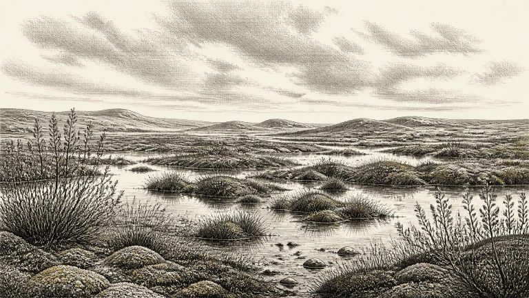
Ireland was in the last glacial cycle, but it should not be imagined as a single, permanent sheet of white ice. Ice expanded and contracted unevenly across Ireland, Britain and their continental shelves. At different times some districts lay beneath moving ice, while others supported exposed ground, meltwater, shallow lakes and tundra-like wetland. The Derryvree deposit proves that at least one part of Fermanagh experienced an ice-free interval between glacial episodes. Its position below later till also shows why evidence is scarce: advancing ice could scour away soils, riverbanks, animal remains and any light traces left by people.
“30,451 BCE” is a modern chronological label, not a year that can be recovered from Irish evidence with calendar-like precision. It lies roughly 32,400 years before AD 1950, the conventional baseline for “before present” dating, during the Late Pleistocene and Marine Isotope Stage 3. At such depth of time, radiocarbon measurements have substantial uncertainties and calibration produces broad ranges rather than a date for a particular winter, migration or human generation. The responsible historical question is therefore not what happened in Ireland in this named year, but what the surviving evidence can show about Ireland during the interval into which it falls.
Derryvree is especially valuable because its evidence was found in context. Roadworks in 1969 cut through a drumlin about two kilometres north-east of Maguiresbridge. Between two thick sheets of glacial till lay freshwater silts, fine sands and organic material. This sequence matters: the lower till records an earlier advance of ice, the organic-rich layer records a period when freshwater and vegetation existed at the site, and the upper till shows that ice later returned. The deposit was not an ancient lake bed open for inspection today; it was a brief environmental archive eventually buried and compressed inside a glacial landform.
The principal Derryvree sample, conventionally known as BIRM-166, produced a radiocarbon determination of about 30,500 ± 1,100 radiocarbon years before present. “Before present” conventionally means before AD 1950, but a radiocarbon age is not identical to a calendar age: atmospheric carbon-14 levels have altered through time. Calibrated ranges are consequently broad at this depth in time. Published treatments place the Derryvree organic horizon broadly around 36,900–31,700 calibrated years before present, while later ice-sheet modelling has treated the dated interval as centring on about 33,500 ± 1,200 calendar years before present.
Archaeologists conventionally reckon radiocarbon years “before present”, with present fixed at AD 1950. A BCE label and a radiocarbon age are not interchangeable. Atmospheric carbon-14 has varied through time, so a radiocarbon result has to be calibrated against independently dated records. At more than 30,000 years ago, the outcome is a broad probability range rather than a date that can be assigned to a particular season, lifetime or generation.
Road works in 1969 exposed the Derryvree sequence in a north-east to south-west drumlin. Beneath the landform lay a lower till, deposited by glacier ice; above it were freshwater silts and fine sands rich in organic material; above those came a second, thick till. The order is decisive. Ice had occupied the site, then an ice-free or at least locally ice-free interval allowed freshwater sediment to collect, and renewed glaciation later buried the wetland. This is direct stratigraphic evidence for change, not simply an inference from the modern landscape.
The key Derryvree radiocarbon determination, conventionally known as BIRM-166, was obtained from the organic freshwater deposits and reported as 30,500 radiocarbon years before present, with a substantial error range. When calibrated, it falls broadly within approximately 36,900–31,700 calendar years before present. The modern date-label 30,456 BCE lies within that very wide calibrated span, but it must not be mistaken for the age of every seed, moss fragment or insect in the bed. Nor can it identify a particular season in which the basin was open water. The deposit accumulated over time; its age is an estimate with a range, not a historical timestamp.
The BIRM-166 determination was reported as about 30,500 radiocarbon years before present, with a substantial uncertainty. Calibration translates this into a broad range of approximately 36,900–31,700 calibrated years before present, or roughly 34,950–29,750 BCE. The nominal year 30,457 BCE lies within that wide chronological window, but no layer can be tied to that exact year, still less to a season, generation or named occurrence. Modern calendar-year precision is simply unavailable.
On Greenland ice-core chronologies, this approximate point falls close to the beginning of Greenland Interstadial 5.2, a relatively milder episode dated broadly to about 32,500–32,000 years before AD 2000. That correlation is useful for setting an environmental context, not for claiming that Irish weather changed on an identifiable day or even in an identifiable year. Ice-core events describe a large North Atlantic climatic signal. Ireland, on its western edge, experienced that signal through local terrain, sea conditions, shifting ice margins and seasonal variation.
Even the apparently exact conversion needs care. Radiocarbon ages are expressed in years “before present”, conventionally AD 1950, but they are not calendar years. Atmospheric carbon-14 varied through time, especially during the last glacial period, so laboratory measurements must be calibrated against internationally maintained curves. At great antiquity the resulting calendar estimates commonly cover wide intervals. A bone’s date records the death of the animal, moreover, not necessarily the date when it entered a cave, was disturbed by water, or—where human modification is suspected—was cut.
Radiocarbon ages are measured against AD 1950, conventionally called “before present”, and must be calibrated because atmospheric radiocarbon has varied through time. The Derryvree freshwater series produced a conventional determination of 30,500 ± c.1,000 radiocarbon years BP. Calibration gives a broad and uneven probability range rather than a single historical date; published discussion places the deposit approximately within 36,900–31,700 cal BP. In BCE terms, that is broadly about 34,950–29,750 BCE. The requested year falls inside this long window, but no individual fossil, water level or climatic episode can safely be fixed to it.
The closest Irish environmental record is at Derryvree, near Maguiresbridge in County Fermanagh. Roadworks in 1969 cut through a drumlin and exposed a remarkable sequence: a thick lower deposit of glacial till, freshwater silts and fine sands with organic material, then a further substantial till. Till is the unsorted sediment carried and laid down by ice. The sequence securely shows that glacier ice affected the locality, that an interval followed in which water and living things accumulated in a basin, and that later ice again crossed or overwhelmed the site, sealing the evidence beneath it.
The difference between radiocarbon years and calendar years matters especially here. “BP” conventionally means before AD 1950, while radiocarbon ages must be calibrated against changing levels of atmospheric carbon-14. IntCal20 extends calibration to this part of the Late Pleistocene, but older dates have broad probability ranges rather than the year-by-year sharpness familiar from written history. Ireland around 30,462 BCE therefore belongs to the later Middle Palaeolithic world in the broad sense of the Upper Pleistocene, and to a cold phase preceding the full Last Glacial Maximum. It should not be represented as a historical Ireland with an annual political narrative.
MIS 3 was neither a single uniform “Ice Age” landscape nor a simple prelude to the maximum cold. Greenland ice cores record abrupt swings between colder stadials and comparatively milder interstadials. Those shifts affected temperature, precipitation, vegetation and glaciers around the North Atlantic, but the exact local response in Ireland remains difficult to reconstruct. Later glaciers eroded, rearranged and buried much of the older evidence. Consequently, there is no secure map showing precisely which parts of Ireland were ice-covered in 30,463 BCE, nor a dependable estimate of seasonal weather for every region.