
Viking Founding
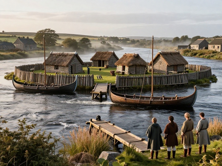
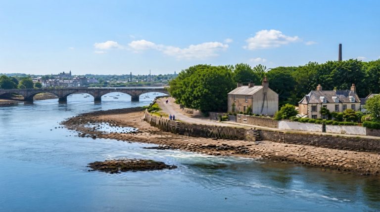
King’s Island sits at the Shannon confluence and was inhabited in prehistoric and historic periods. Classical geographies such as Ptolemy and later medieval sources indicate a recognised river crossing at this point. Archaeological surveys and excavations on adjacent lands record Mesolithic activity through Neolithic, Bronze Age, and into early medieval occupation on surrounding floodplain and island terraces. Environmental evidence and artefact scatters demonstrate long-term use of these riverine landscapes for seasonal or permanent habitation. The topography channels maritime and overland routes, making the location strategically important before later urban developments arose on the island itself and attracted transient ship camps.
Irish annals record raids and transient ship camps associated with Norse seafaring along the Shannon and its approaches, describing episodic appearances rather than continuous settlement. Early medieval Gaelic entries refer to the place-name Inis Sibhtonn in contexts that suggest a maritime presence on or near the island. These entries are compiled in multiple annalistic manuscripts which note vessels, leaders, and occasional conflicts, forming a documentary strand that complements archaeological indicators. The annalistic tradition must be read cautiously, yet it supplies contemporary or near-contemporary notices pointing to ninth-century origins for recurring Norse activity in the Shannon estuary and adjacent territories landscapes.
Longphorts are identified in scholarship as temporary fortified ship-bases used by Norse seafarers, functioning as logistical and seasonal hubs for raiding, trade, and overwintering. Documentary and place-name evidence, combined with artefact scatters and geomorphological indicators, have led some historians to propose a longphort at Athlunkard and other riverine sites prior to a settled town on King’s Island. Such interpretations emphasise mobility and episodic occupation distinct from urban foundations. Documentary traces of Norse activity therefore often predate the establishment of permanent urban structures on the island, indicating a phase of maritime anchorage and seasonal encampment preceding town development and local adaptation.
Archaeological excavation reports, artefact catalogues, and historic surveys outline the material footprint of early activity around King’s Island. Excavation summaries record earlier layers beneath medieval deposits, while coin finds and imported pottery assemblages indicate connections in the tenth-century Shannon network. Historic studies including the King John’s Castle archaeological and historic survey relate later Norman works to earlier town topography. Nineteenth-century Ordnance Survey mapping preserves street patterns that overlay medieval plot boundaries and reveal continuity in layout. Combined, stratigraphy, finds, and mapping corroborate a sequence moving from transient river camps toward more permanent urban settlement on the island over successive phases.
Cumulative evidence distinguishes earlier Norse and pre-Norse presence from the later establishment of a permanent town on King’s Island. Annalistic notices and place-names record episodic seafaring, temporary ship camps, and seasonal longphorts, whereas material culture and stratigraphy indicate intermittent occupation before urban consolidation. This distinction clarifies that maritime anchorage and ad hoc encampments need not imply immediate continuity with later borough formation. Scholars therefore treat annals, maps, excavation data, and artefact assemblages as complementary primary-source strands. Careful, interdisciplinary study of these sources is essential to determine the processes and timing by which the island became a settled urban centre there.
Primary Sources
- Annals of Inisfallen, entry for AD 922 (medieval annal entry mentioning events at Inis Sibhtonn).
- Annals of Ulster, relevant entries for ninth and tenth centuries recording Norse activity in Munster and Shannon river raids.
- Annals of the Four Masters, early modern compilation containing notices of Viking rulers and events around Limerick.
- Excavation report: King’s Island, John’s Ward B, Limerick, site report (Excavations.ie report 1990:081) detailing medieval and earlier layers.
- Ordnance Survey First Edition town plan of Limerick (19th century mapping showing King’s Island street pattern overlying medieval plot boundaries).
- Medieval charter and borough records for Limerick (twelfth to fourteenth century municipal rolls and charters, held in national or local record offices).
- Contemporary medieval coin finds and imported pottery catalogues from Limerick museum collections documenting tenth century material culture.
- King John’s Castle archaeological and historic survey report describing the Viking town centre and later Norman works.
- Early modern printed histories citing Gaelic annals and topographical notices concerning Inis Sibhtonn and Tomrair mac Ailchi (example references in antiquarian collections).
- Site of Athlunkard and Athlunkard longphort references in nineteenth century antiquarian reports and nineteenth century Ordnance Survey Name Books recording local tradition of earlier ship camps.