Membership is completely free, giving members unlimited access to all available resources, services, features, and benefits without any restrictions or fees.
Welcome back. Sign in to continue enjoying unlimited access to all available resources, services, features, and member benefits at no cost.
Derryvree was exposed during roadworks in 1969, when a cutting passed through a drumlin: an elongated hill formed or reshaped by moving glacier ice. Investigators found two thick tills, the unsorted clay, stones and debris laid down by ice, separated by freshwater silts, fine sands and organic mud. The sequence is unusually eloquent. Ice had occupied the site; later, the locality stood free of glacier ice long enough for water, sediment and vegetation to accumulate; then a subsequent advance covered and protected the deposit beneath fresh glacial material.
Radiocarbon dating does not translate straightforwardly into BCE years at this age. The Derryvree organic deposits produced the well-known Birmingham determination Birm-166 of 30,500 radiocarbon years before present, with a substantial uncertainty: 30,500+1,170−1,030 BP. “Before present” conventionally means before 1950, while radiocarbon years must be calibrated against changing atmospheric carbon levels to estimate calendar years. Calibration moves this determination thousands of years further back and leaves a broad probability range. It is therefore evidence for an environmental phase in the wider mid-to-late 30,000s calibrated years ago, not proof that a particular pond or plant community existed in precisely 30,288 BCE.
The closest Irish archive is Derryvree, near Maguiresbridge in County Fermanagh. Roadworks in 1969 cut through a drumlin and exposed an exceptional sequence: a lower layer of till, organic freshwater silts and sands, and another thick till above. Till is unsorted debris deposited directly by glacier ice. The order of the deposits is therefore decisive. Ice had occupied the locality; later, water and organic matter accumulated while it was ice-free locally; finally, renewed glacial activity buried and protected that evidence.
Derryvree was revealed in roadworks during 1969, when a cutting passed through a drumlin about two kilometres north-east of Maguiresbridge. The section contained a remarkable sequence: a lower sheet of till, freshwater silts and fine sands with organic material, and then a second, thick till. Till is the unsorted debris laid down directly by glacier ice. The order of deposits establishes a powerful but limited story. Ice had occupied the locality; subsequently, enough ice-free time elapsed for freshwater sediment, plants and small animals to accumulate; later, another ice advance covered and preserved the wetland beneath fresh glacial debris.
“30,291 BCE” is a modern calendar label, not a year that can be recovered from Ireland’s prehistoric record. No contemporary people in Ireland counted years in this way, and the available evidence cannot identify an event, a settlement episode or a particular season in that single year. At most, the label falls within a broad late-Pleistocene interval reconstructed from deposits, fossils and climate archives. It is therefore more responsible to describe the changing conditions that may illuminate this point than to manufacture an annual chronicle.
Derryvree is important because of its physical sequence. Roadworks in 1969 cut through a drumlin and exposed two thick layers of glacial till, with freshwater silts, fine sands and organic material trapped between them. Till is debris deposited directly by glacier ice. The strata therefore establish a clear order of events at this one Fermanagh locality: ice had covered the ground; an ice-free interval followed in which water, sediment and organic remains accumulated; then a later advance buried and preserved the deposit beneath fresh till. This is compelling evidence for changing local conditions, not a complete map of Ireland or a date for an event in 30,292 BCE.
Derryvree matters because its stratigraphy records sequence rather than a single fossil find. Ice had occupied the locality and laid down a lower till. Then, during an ice-free phase at that spot, water and organic material accumulated in a shallow basin or wetland. Later ice advanced across the area again, burying the freshwater sediments beneath an upper till. The buried layer is therefore direct evidence that at least part of Fermanagh was not continuously covered by glacier ice throughout the relevant span. It does not demonstrate that all Ireland was open, nor that the whole island shared one uniform climate.
The principal Irish environmental record is at Derryvree, near Maguiresbridge in County Fermanagh. Roadworks exposed a remarkable sequence within a drumlin: a lower glacial till, organic freshwater silts and fine sands, and then a second till deposited by later ice. The layers establish a clear order. Glaciers affected the locality; an interval followed when water, sediment and living organisms accumulated; and a renewed ice advance sealed that evidence. They do not identify a single year, a particular season or the duration of every phase.
BIRM-166 returned a conventional radiocarbon age of 30,500 years BP, with an uncertainty of +1,170 and −1,030 years. A radiocarbon age is not the same thing as a calendar age, because atmospheric carbon-14 has varied through time. When calibrated with modern methods, the result is generally expressed as a broad range of about 36,900–31,700 calibrated years BP, or roughly 34,950–29,750 BCE. The modern label 30,295 BCE lies within that wide interval. It does not mean that the entire Derryvree bed, still less all Ireland, can be assigned precisely to that year.
The numerical date needs translation before it can be interpreted. A date of 30,296 BCE is approximately 32.25 thousand calendar years BP (‘before present’, where present is AD 1950). It should not be confused with an uncalibrated radiocarbon age. Atmospheric carbon-14 varied considerably during the last glacial period, so radiocarbon determinations must be calibrated against independently dated records; their results remain probabilistic ranges, not exact points. In addition, a dated animal bone tells us when the animal lived, whereas a surface mark on that bone may have a separate history and requires taphonomic assessment.
Ireland at this depth of time cannot be treated as a modern island with familiar coastlines, counties or communities. Sea level, ice extent and the shape of lowland ground differed greatly from today; local glaciers and ice sheets repeatedly changed the practical geography of movement. The wider British–Irish Ice Sheet was growing during the later part of this period, but its margins did not advance uniformly or leave equally clear evidence everywhere. Recent reconstructions begin at about 31,000 years before present and show sustained ice-sheet growth thereafter; they do not permit a simple statement that every part of Ireland was either wholly ice-covered or wholly ice-free at 30,297 BCE.
Derryvree is important because of its stratigraphy: the order in which its deposits were laid down. Roadworks in 1969 cut into a drumlin and exposed a lower body of glacial till, followed by silts, sands and organic muds, themselves sealed beneath another thick till. Till is the unsorted debris left directly by glacier ice. The sequence is therefore firm evidence that ice had occupied this part of Fermanagh; that it later ceased to cover the locality long enough for fresh water, plants and fine sediment to accumulate; and that ice subsequently returned.
The most informative Irish archive close to this point lies at Derryvree, near Maguiresbridge in County Fermanagh. Roadworks in 1969 exposed a remarkable section through a drumlin: glacial till at the base, then fine sands and organic freshwater silts, capped by a further thick till. Till is unsorted debris laid down directly by glacier ice. The order of these layers is decisive evidence. Ice had occupied the site; a later interval allowed water, sediment, plants and small animals to accumulate; then ice returned or expanded and buried the wetland beneath another glacial deposit.
The key chronological caution is the distinction between radiocarbon years and calendar years. An organic deposit at Derryvree, near Maguiresbridge in County Fermanagh, produced the measurement BIRM-166: 30,500 ± 1,200 radiocarbon years BP. Published calibrations have placed this broad evidence for an ice-free interval at approximately 36,900–31,700 cal BP. That range is far wider than a single year, and calibration curves have themselves been improved as new datasets become available. BIRM-166 is therefore not evidence for an event in 30,300 BCE. It is evidence that, for a substantial interval encompassing the approximate date, freshwater and wetland sediments formed at this northern locality between episodes of glaciation.
The key site is Derryvree, near Maguiresbridge in County Fermanagh. Roadworks through a drumlin exposed a remarkable sequence: freshwater silts and fine sands rich in organic material lay between two thick glacial tills. Till is the unsorted debris deposited by glacier ice. The order of the layers is the essential historical evidence. Ice had covered the locality; the ice withdrew or ceased to occupy it long enough for pools, sediment and vegetation to develop; then a later advance buried and protected that evidence beneath fresh glacial material.
The calendar equivalent 30,302 BCE corresponds broadly to about 32,250 calibrated years before present, conventionally counted from 1950. That conversion should not be mistaken for precision in the evidence. The key Derryvree organic horizon yielded the radiocarbon determination BIRM-166, approximately 30,500 ± 1,100 radiocarbon years BP. Radiocarbon years and calendar years are not interchangeable: atmospheric carbon levels varied through time, and conversion requires a calibration curve with substantial uncertainty at this antiquity. Rather than identifying a particular year, BIRM-166 illuminates a wide span in the mid- to lower-thirty-thousands of calibrated years BP.
Calendar-year precision is impossible at this depth of time. The date 30,303 BCE is equivalent to roughly 32,250 calibrated years before present, where “present” conventionally means 1950. Such conversion is only an aid to orientation. Radiocarbon measurements from this period have wide errors, and calibration curves themselves produce ranges rather than exact historical moments. An individual plant seed or bone can date the death of an organism; it does not automatically date the formation of a landscape, the arrival of an ice sheet or a human action.
Ireland had no recorded political communities in any meaningful historical sense. There is no evidence for rulers, territories, alliances, warfare, diplomacy, law or inherited institutions. Nor can later ethnic identities, languages or origin traditions be projected backwards into this landscape. The word “Ireland” is useful here only as a geographical shorthand for the landmass that would much later acquire that name.
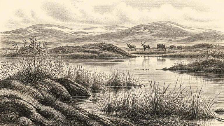
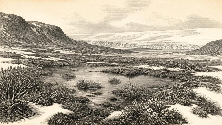
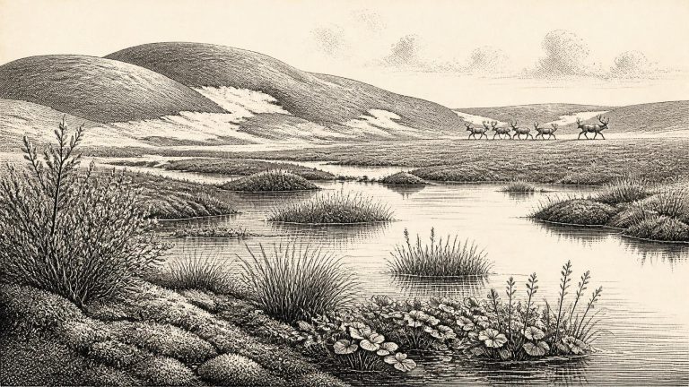
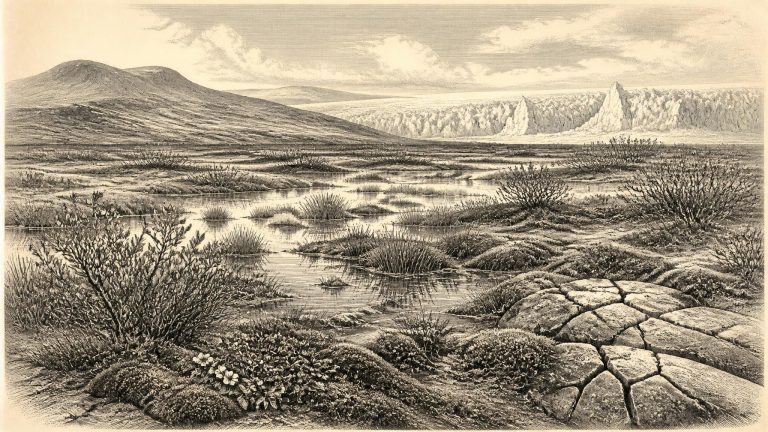
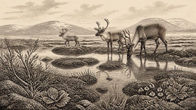
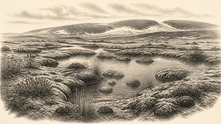
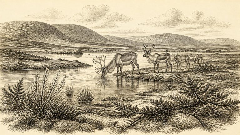
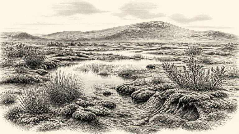
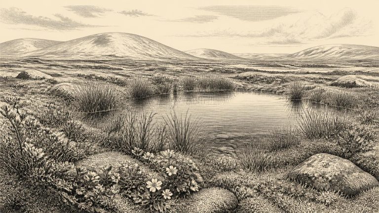
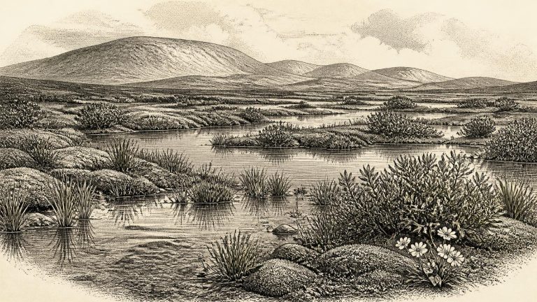
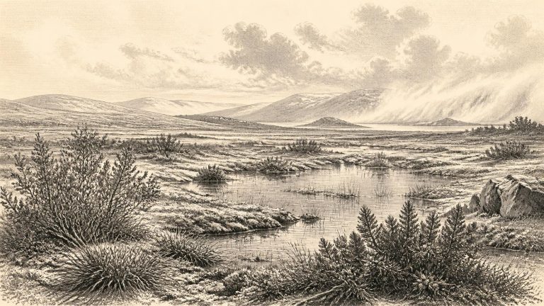
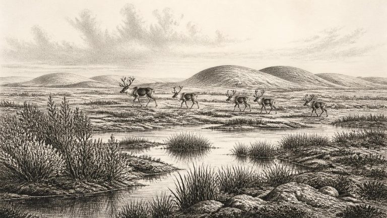
Derryvree shows that part of Fermanagh was ice-free long enough for fine sands, silts and organic mud to gather in shallow fresh water or a wetland. Fossil plant and animal evidence led the original investigators to identify a full-glacial, open-tundra setting and a periglacial climate. This was not woodland Ireland, nor a familiar blanket bog landscape. It was a sparse, treeless country in which low vegetation could exploit a short growing season around wet ground, while repeated freezing and thawing shaped soils and surface deposits.
The strongest witness is the Derryvree deposit, exposed during road works in 1969 in a drumlin about two kilometres north-east of Maguiresbridge. A drumlin is a streamlined hill of glacial sediment. At Derryvree, investigators found a lower till, deposited by glacier ice, overlain by freshwater silts, fine sands and organic layers; a second, thick till later sealed the sequence. The order of deposits supplies a clear relative history. Ice had passed over the locality, then a wetland or shallow-water environment developed, and eventually ice returned. Later glaciation destroyed or disturbed much older evidence elsewhere in Ireland, but here it also helped to preserve a fragment of the earlier landscape.
That distinction matters. Radiocarbon years are not identical to calendar years because atmospheric carbon-14 has varied over time. Calibration converts a laboratory measurement into a probability range, not an annual timestamp. The relevant range is measured in millennia, and revision of calibration curves can alter its exact form. BIRM-166 therefore illuminates conditions during a broad interval around this date; it is not a diary entry from 30,307 BCE.
The nearest major Irish environmental archive is Derryvree, near Maguiresbridge in County Fermanagh. Roadworks there in 1969 cut through a drumlin and exposed an extraordinary sequence: glacial till below, freshwater silts and organic sediment in the middle, and another thick till above. The order matters. Ice had occupied the site, then withdrew or ceased to dominate locally long enough for water, plants and sediment to accumulate, before ice returned and sealed the deposit.
The numerical year lies roughly 32,250 calendar years before AD 1950, the conventional reference point for ‘before present’ dating. That arithmetic conversion should not be mistaken for an archaeological date. Radiocarbon years and calendar years are not interchangeable, because atmospheric carbon-14 has varied over time. Nor can a single radiocarbon result pinpoint a historical year, particularly this far back in time, where measurement uncertainty and calibration uncertainty are substantial.
The strongest Irish chronological anchor for this broad period is Derryvree, near Maguiresbridge in County Fermanagh. Road works in 1969 cut through a drumlin and exposed a remarkable sequence: an older glacial till below, freshwater silts and fine sands with organic material in the middle, and a later till above. The order of these layers is important. Ice had covered the site, then withdrew or ceased to occupy it long enough for freshwater sediment and vegetation to accumulate, before a later glacier overran and sealed the deposit. This is evidence for a local ice-free interval, not a map of conditions across every part of Ireland.
The most relevant Irish environmental sequence comes from Derryvree near Maguiresbridge, County Fermanagh. Roadworks exposed a drumlin section in which freshwater silts, fine sands and organic deposits lay between two tills: unsorted sediments deposited directly by ice. This physical order is important. It shows that ice had occupied the locality, that a period without local overriding ice allowed water and organic material to accumulate, and that ice later returned and sealed the deposit.
Radiocarbon ages are not calendar ages. A bone’s measured radiocarbon result must be calibrated against changing atmospheric carbon levels, and the resulting calendar range may extend over centuries or longer. The archaeological deposits relevant to Ireland at this time are also few, often disturbed, and sometimes excavated more than a century ago. Their dates identify broad episodes in which animals, ice margins or water-lain sediments existed; they do not create a diary of life in a particular year.
The closest chronological anchor is at Derryvree townland, near Maguiresbridge in County Fermanagh. Roadworks in 1969 cut through a drumlin and revealed organic silts and fine sands lying between two thick layers of till, the unsorted sediment deposited directly by glacier ice. The sequence is important because its order is unambiguous: ice had occupied the locality; freshwater and organic material then accumulated in an ice-free interval; and a later glacier overrode and sealed the deposit.
The closest important Irish environmental record is at Derryvree, near Maguiresbridge in County Fermanagh. Roadworks in 1969 cut through a drumlin and exposed an extraordinary sequence. A lower glacial till – the stony, unsorted debris left directly by ice – was overlain by freshwater silts, fine sand and organic material, which were themselves sealed beneath a second till. The order is direct physical evidence: ice had occupied the locality; then there was an interval in which water, sediment and living organisms accumulated; later ice returned and buried the wetland.
Ireland around this notional date was neither the familiar green island nor necessarily an island in the modern geographical sense. Sea level was far lower than today because enormous volumes of water were held in northern ice sheets. The coastline lay well beyond its present position in places, and the Irish Sea basin, western Britain and the continental shelf formed a changing cold-region landscape. Yet lower sea level did not automatically create an uncomplicated land bridge from Ireland to continental Europe. Access routes, ice margins, tidal channels and seasonal conditions altered repeatedly, and any movement of animals or people must be understood within that shifting geography.
The most useful Irish environmental archive close to this broad horizon is Derryvree, near Maguiresbridge in County Fermanagh. Road works cut through a drumlin and exposed organic-rich freshwater silts and sands caught between two glacial tills. The order of layers is decisive. An earlier glacier deposited the lower till; water, plants and organic detritus accumulated during a subsequent non-glacial interval; later ice deposited the upper till and sealed the deposit. This is strong evidence for local environmental change, though not a complete picture of the entire island.