Membership is completely free, giving members unlimited access to all available resources, services, features, and benefits without any restrictions or fees.
Welcome back. Sign in to continue enjoying unlimited access to all available resources, services, features, and member benefits at no cost.
The nearest major Irish environmental archive is Derryvree, near Maguiresbridge in County Fermanagh. Roadworks there in 1969 cut through a drumlin and exposed an extraordinary sequence: glacial till below, freshwater silts and organic sediment in the middle, and another thick till above. The order matters. Ice had occupied the site, then withdrew or ceased to dominate locally long enough for water, plants and sediment to accumulate, before ice returned and sealed the deposit.
The numerical year lies roughly 32,250 calendar years before AD 1950, the conventional reference point for ‘before present’ dating. That arithmetic conversion should not be mistaken for an archaeological date. Radiocarbon years and calendar years are not interchangeable, because atmospheric carbon-14 has varied over time. Nor can a single radiocarbon result pinpoint a historical year, particularly this far back in time, where measurement uncertainty and calibration uncertainty are substantial.
The strongest Irish chronological anchor for this broad period is Derryvree, near Maguiresbridge in County Fermanagh. Road works in 1969 cut through a drumlin and exposed a remarkable sequence: an older glacial till below, freshwater silts and fine sands with organic material in the middle, and a later till above. The order of these layers is important. Ice had covered the site, then withdrew or ceased to occupy it long enough for freshwater sediment and vegetation to accumulate, before a later glacier overran and sealed the deposit. This is evidence for a local ice-free interval, not a map of conditions across every part of Ireland.
The most relevant Irish environmental sequence comes from Derryvree near Maguiresbridge, County Fermanagh. Roadworks exposed a drumlin section in which freshwater silts, fine sands and organic deposits lay between two tills: unsorted sediments deposited directly by ice. This physical order is important. It shows that ice had occupied the locality, that a period without local overriding ice allowed water and organic material to accumulate, and that ice later returned and sealed the deposit.
Radiocarbon ages are not calendar ages. A bone’s measured radiocarbon result must be calibrated against changing atmospheric carbon levels, and the resulting calendar range may extend over centuries or longer. The archaeological deposits relevant to Ireland at this time are also few, often disturbed, and sometimes excavated more than a century ago. Their dates identify broad episodes in which animals, ice margins or water-lain sediments existed; they do not create a diary of life in a particular year.
The closest chronological anchor is at Derryvree townland, near Maguiresbridge in County Fermanagh. Roadworks in 1969 cut through a drumlin and revealed organic silts and fine sands lying between two thick layers of till, the unsorted sediment deposited directly by glacier ice. The sequence is important because its order is unambiguous: ice had occupied the locality; freshwater and organic material then accumulated in an ice-free interval; and a later glacier overrode and sealed the deposit.
The closest important Irish environmental record is at Derryvree, near Maguiresbridge in County Fermanagh. Roadworks in 1969 cut through a drumlin and exposed an extraordinary sequence. A lower glacial till – the stony, unsorted debris left directly by ice – was overlain by freshwater silts, fine sand and organic material, which were themselves sealed beneath a second till. The order is direct physical evidence: ice had occupied the locality; then there was an interval in which water, sediment and living organisms accumulated; later ice returned and buried the wetland.
Ireland around this notional date was neither the familiar green island nor necessarily an island in the modern geographical sense. Sea level was far lower than today because enormous volumes of water were held in northern ice sheets. The coastline lay well beyond its present position in places, and the Irish Sea basin, western Britain and the continental shelf formed a changing cold-region landscape. Yet lower sea level did not automatically create an uncomplicated land bridge from Ireland to continental Europe. Access routes, ice margins, tidal channels and seasonal conditions altered repeatedly, and any movement of animals or people must be understood within that shifting geography.
The most useful Irish environmental archive close to this broad horizon is Derryvree, near Maguiresbridge in County Fermanagh. Road works cut through a drumlin and exposed organic-rich freshwater silts and sands caught between two glacial tills. The order of layers is decisive. An earlier glacier deposited the lower till; water, plants and organic detritus accumulated during a subsequent non-glacial interval; later ice deposited the upper till and sealed the deposit. This is strong evidence for local environmental change, though not a complete picture of the entire island.
This was the Late Pleistocene, in the later part of Marine Isotope Stage 3, during the last glacial cycle. Ireland was not yet simply the uniformly ice-covered island often imagined from pictures of the Last Glacial Maximum. The full maximum of the last British–Irish Ice Sheet came later, broadly during Marine Isotope Stage 2. Yet neither was Ireland a benign refuge. Ice sheets had already grown and fluctuated around the country; their margins advanced, retreated and reorganised in response to abrupt North Atlantic climatic changes. Different regions could therefore have experienced very different conditions over comparatively short geological intervals.
In archaeological and geological practice, “before present” means before AD 1950. Thus 30,318 BCE corresponds approximately to 32,267 years before present. Yet even that conversion must not be mistaken for an ancient date written into the ground. Radiocarbon ages are not calendar years, because the amount of radioactive carbon in the atmosphere has varied through time. They require calibration, and beyond roughly 30,000 years ago their uncertainties become especially substantial.
Derryvree was revealed accidentally during roadworks in 1969, when a cutting passed through a north-east–south-west drumlin. Beneath the familiar rounded glacial landform lay two substantial sheets of till: stony sediment deposited by ice. Between them were fine sands and organic freshwater silts. The sequence is important because it records change rather than a single frozen landscape. Ice had advanced across the locality, then a depression held water and organic material accumulated, and later ice overrode or sealed the deposit beneath a new layer of till. The sediments therefore demonstrate an interval when this part of Fermanagh was locally ice-free; they do not prove that all Ireland was ice-free at once.
The closest important Irish environmental sequence is at Derryvree near Maguiresbridge, County Fermanagh. Roadworks in 1969 exposed a drumlin cut through by two separate deposits of glacial till. Between them lay freshwater silts, fine sand and organic matter. The lower till proves that ice had earlier occupied the locality; the intervening sediments show a later period in which open water and vegetation existed; the upper till records renewed glacial influence or ice advance. This order of layers is firmer evidence than any attempt to turn it into an annual timetable.
The closest important Irish chronological anchor is Derryvree townland, near Maguiresbridge in County Fermanagh. Roadworks in 1969 cut through a drumlin and exposed a remarkable sequence: an older glacial till below, freshwater silts and fine sands with organic material in the middle, and a younger till above. In plain terms, ice had occupied the site, then retreated or ceased to cover that locality long enough for water, sediment and plants to accumulate, before ice-related deposition returned and sealed the record.
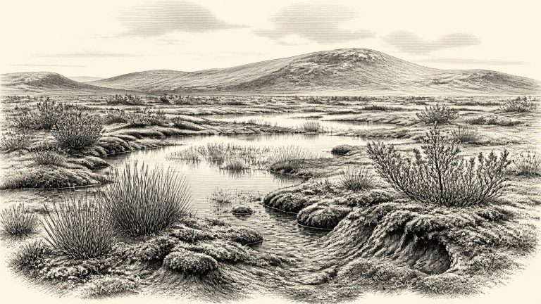
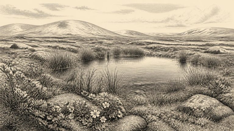
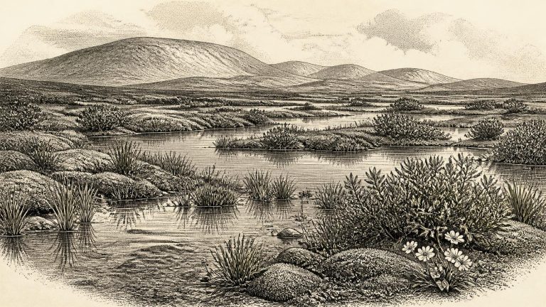
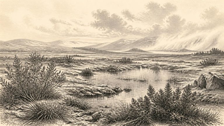
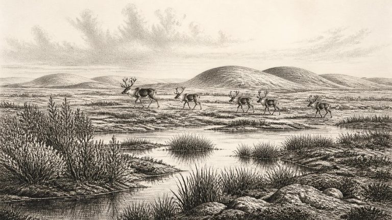
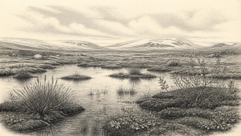
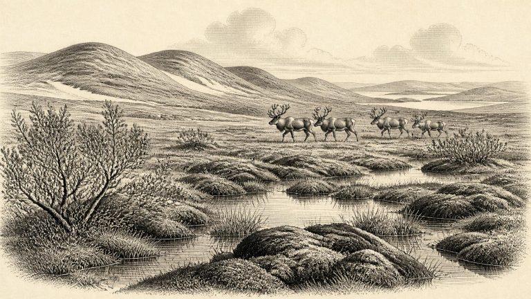
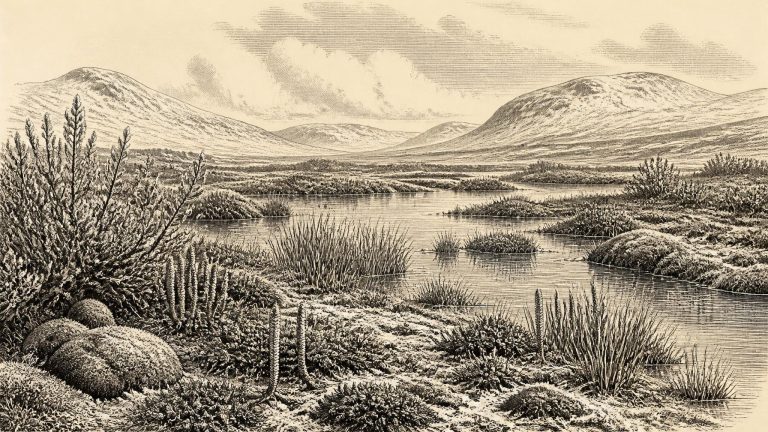
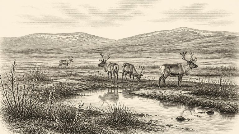
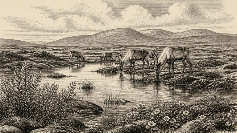
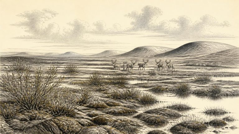
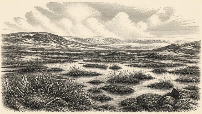
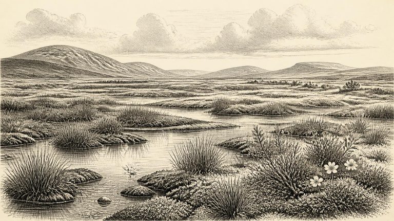
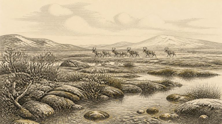
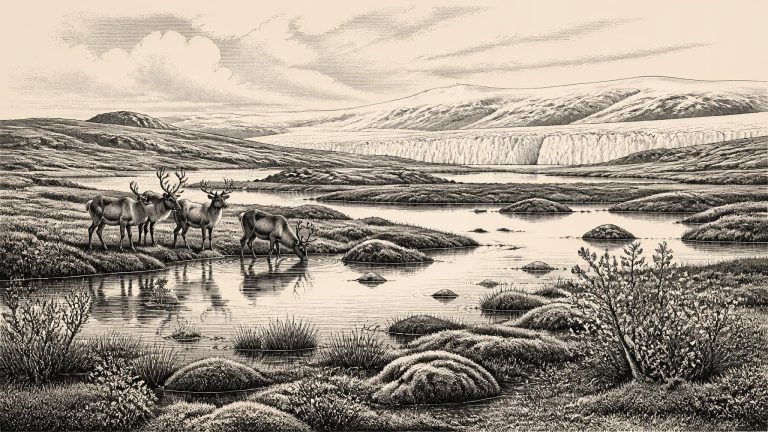
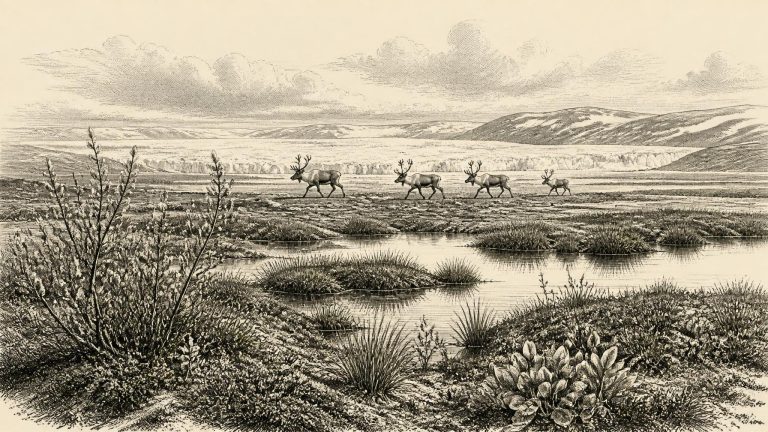
In Fermanagh, a much-discussed road-cut sequence at Derryvree near Maguiresbridge preserves organic-rich mud between glacial deposits. Its plant macrofossils include sedges, mosses and aquatic or wet-ground plants such as bogbean, water-milfoil, dwarf willow, mountain avens and other cold-tolerant species. Taken together, they indicate that, before the deposits were overridden and sealed by later ice, there had been shallow freshwater, marshy margins and treeless or sparsely vegetated tundra-like ground.
The closest important Irish archive is at Derryvree, near Maguiresbridge in County Fermanagh. Roadworks in 1969 cut through a drumlin and revealed freshwater silts, fine sands and organic layers lying between two thick sheets of till, the unsorted sediment deposited by glaciers. The organic deposit produced the radiocarbon determination Birm-166, 30,500 radiocarbon years before present, with a substantial uncertainty of +1,170 and −1,030 years. Its calibrated calendar range is broad: approximately 36,900–31,700 cal BP, conventionally about 34,950–29,750 BCE.
Radiocarbon measurements do not translate directly into calendar years. Carbon-14 levels in the atmosphere changed through time, so laboratory ages must be calibrated against independently dated records. At around 30,000 BCE, the calibration curve is less precise than it is for recent millennia and can produce wide calendar intervals. Furthermore, a date on an animal bone establishes when the animal died, not necessarily when a particular mark was made on it, when sediment moved, or when people may have visited a cave. These distinctions matter greatly for prehistoric Ireland.
At Derryvree near Maguiresbridge in County Fermanagh, roadworks exposed organic silts and fine sands lying between two tills: deposits of glacial debris laid down at different times. The organic layer produced the important radiocarbon determination BIRM-166, 30,500 radiocarbon years before present, with a substantial uncertainty. This conventional radiocarbon age must not be treated as an exact calendar equivalent, but it identifies an ice-free interval in the broad later-MIS-3 landscape of Ireland. Its position below a later till is equally important: whatever open terrain and water lay here were eventually overridden or sealed by renewed ice advance.
The key Fermanagh determination is BIRM-166, obtained from organic material in the Derryvree deposit. It produced a conventional radiocarbon age of 30,500 years BP, with a large uncertainty: roughly 1,030 years younger to 1,170 years older. Radiocarbon years are not calendar years. Atmospheric carbon-14 has varied through time, especially during the glacial period, so results must be calibrated against independently dated records. Modern calibration curves extend to 55,000 calendar years before present, but at this age a single laboratory result commonly corresponds to a broad calendar interval rather than a neat answer.
The distinction between calendar years and laboratory ages is fundamental. Radiocarbon results are given in years “BP”, meaning before AD 1950, and cannot simply be read as BCE dates. Atmospheric carbon-14 levels varied through time, so a result must be calibrated against an internationally maintained curve; the outcome is a probability range, sometimes a complex one, rather than a single historical date. At more than thirty millennia ago, both the uncertainty of the measurement and the uncertainty in linking one local deposit to wider climatic events are substantial.
The most informative Irish environmental archive for this approximate horizon was exposed at Derryvree near Maguiresbridge, County Fermanagh. Roadworks in 1969 cut through a drumlin and revealed organic freshwater silts and fine sands trapped between two separate sheets of glacial till. The deposit was not a settlement layer. It was a surviving fragment of an Ice Age wetland, subsequently buried and protected beneath later ice-laid sediment.
Organic material from the Derryvree freshwater bed, laboratory sample BIRM-166, produced a conventional radiocarbon age of 30,500 radiocarbon years BP, with a substantial uncertainty of +1,170/−1,030 years. Radiocarbon years are not identical to calendar years, because atmospheric radiocarbon has varied through time. Once calibrated, the measurement is best treated as a broad probability range; published discussions place the deposit generally within about 36,900–31,700 calibrated years BP. In BCE terms, that is roughly 34,950–29,750 BCE. The nominal year considered here falls within this wide environmental horizon, but cannot be assigned to any particular layer, season or episode of sediment accumulation.
The closest substantial Irish environmental evidence comes from Derryvree townland near Maguiresbridge, County Fermanagh. Roadworks in 1969 cut through a drumlin and revealed a remarkable sequence. A lower glacial till, material deposited directly by ice, was separated from a later upper till by silts, fine sands and organic-rich freshwater deposits. The order of layers provides secure relative history: ice had occupied the site; an interval followed in which fresh water, sediment and vegetation accumulated; then ice returned and buried the deposit.
At Derryvree, roadworks in 1969 cut through a drumlin and exposed organic silts and fine sands between two thick sheets of till, the unsorted debris deposited by glacier ice. This sequence matters because it records order rather than a single moment. Ice had covered the locality before the freshwater sediments formed; open water and wet ground then persisted long enough for sediment, plants and small animals to accumulate; later ice overrode and sealed the deposit. The site is therefore evidence for a local ice-free interval between glacial advances, not proof that all Ireland shared the same conditions at once.
At this depth of time, dating requires care. Radiocarbon years before present are counted from AD 1950 and are not identical to calendar years. Their conversion depends upon calibration curves, and the resulting ranges can be wide. The famous organic sediment at Derryvree near Maguiresbridge, County Fermanagh, produced the conventional radiocarbon determination BIRM-166: 30,500 years BP, with a substantial uncertainty. When calibrated, it belongs broadly to a span of roughly 36,900–31,700 calibrated years BP, or approximately 34,950–29,750 BCE. Thus 30,332 BCE sits within the wide chronological horizon relevant to the deposit, but it cannot be assigned to a particular season, pool, animal or human action represented there.
This was part of Marine Isotope Stage 3, a volatile middle phase of the last Ice Age, when northern climates repeatedly swung between comparatively milder interstadials and severe stadials. Greenland ice-core records demonstrate that these shifts could be abrupt on geological timescales, but an ice-core climate signal is not a diary of Irish weather. Ireland’s own record is much thinner, repeatedly disturbed by advancing ice and by later erosion. The numbered date 30,333 BCE should therefore be understood as a point within a long interval of environmental change, rather than as a historical moment.
The numbered year falls at roughly 32,283 calibrated years before present, where “present” in radiocarbon practice means AD 1950. That conversion is only a modern chronological convenience. Radiocarbon determinations are not calendar dates: changing atmospheric carbon-14 levels mean that measurements must be calibrated, and at this depth of time calibrated results commonly cover broad ranges rather than a single year.
Radiocarbon ages are not identical to calendar ages. They must be calibrated against changing atmospheric carbon levels, and the uncertainties become substantial this far back in time. The most relevant Irish environmental deposit is at Derryvree near Maguiresbridge, County Fermanagh. There, organic silts and fine sands lay between two deposits of glacial till: material left by ice. The organic horizon produced the radiocarbon determination BIRM-166, 30,500 radiocarbon years before present, with a wide error range. In published calibration, it corresponds broadly to about 36,900–31,700 calendar years before present.
Derryvree was revealed in February and March 1969, when roadworks cut through a drumlin: a streamlined hill made principally of sediment laid down by glacier ice. Geologists found a striking sequence. A lower till, the unsorted mixture of clay, stones and boulders deposited by ice, was overlain by fine sands, freshwater silts and organic muds. These in turn lay beneath a second till.
The most directly relevant Irish environmental archive is Derryvree, near Maguiresbridge in County Fermanagh. Road works exposed organic silts and fine sands lying between two tills: sediment laid down by water during an interval bracketed by deposits associated with ice. The key radiocarbon determination, BIRM-166, returned 30,500 radiocarbon years BP, with a substantial error range. In later calibrated terms, the organic horizon has been placed broadly at about 36.9–31.7 thousand calibrated years BP. The modern label 30,337 BCE, approximately 32.3 thousand calibrated years BP, falls within that broad range. It does not, however, identify a particular layer, season or event at Derryvree.