Membership is completely free, giving members unlimited access to all available resources, services, features, and benefits without any restrictions or fees.
Welcome back. Sign in to continue enjoying unlimited access to all available resources, services, features, and member benefits at no cost.
Deep-time dating needs careful language. Radiocarbon results are measured in radiocarbon years before present, with “present” conventionally fixed at AD 1950. They are not direct calendar dates, because atmospheric carbon-14 levels have varied. Scientists calibrate determinations against independently dated records, but at this antiquity the resulting calendar ranges can still extend across centuries or millennia and may change as methods improve. A date range therefore locates a sample within a broad environmental phase; it does not identify the day, season or year in which an animal died or a sediment layer formed.
The key local archive is in south Fermanagh, near Maguiresbridge. Roadworks at Derryvree exposed freshwater silts and fine sands sealed between glacial deposits within a drumlin landscape. Such a sequence matters because the organic-rich sediments were laid down during an interval when this ground was not overridden by ice; later ice deposited till above them. A radiocarbon determination of about 30,500 years before present was obtained from the Derryvree material. Calibrated chronologies place the deposit broadly within about 36,900 to 31,700 calendar years before present, a range that encompasses the modern calendar label 31,774 BCE.
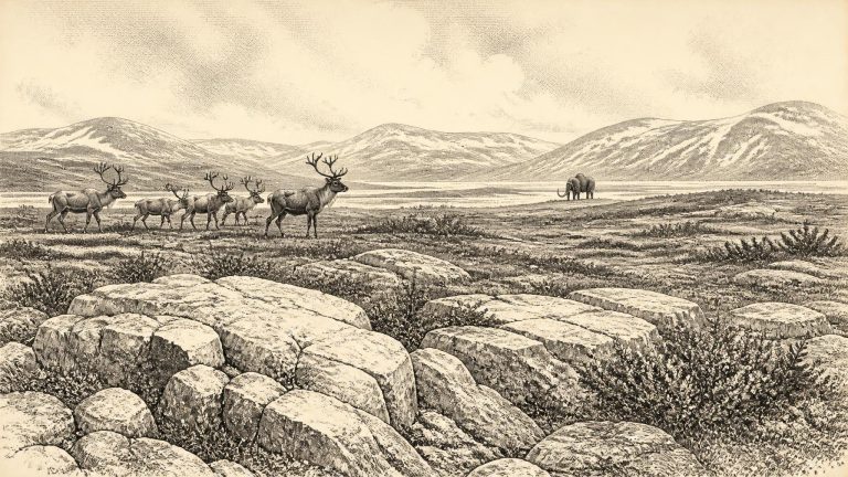
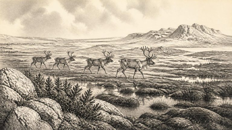
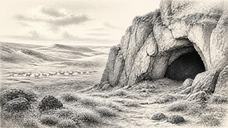
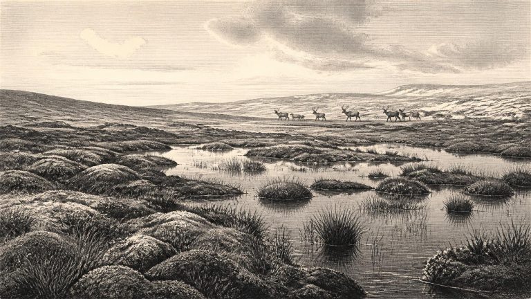
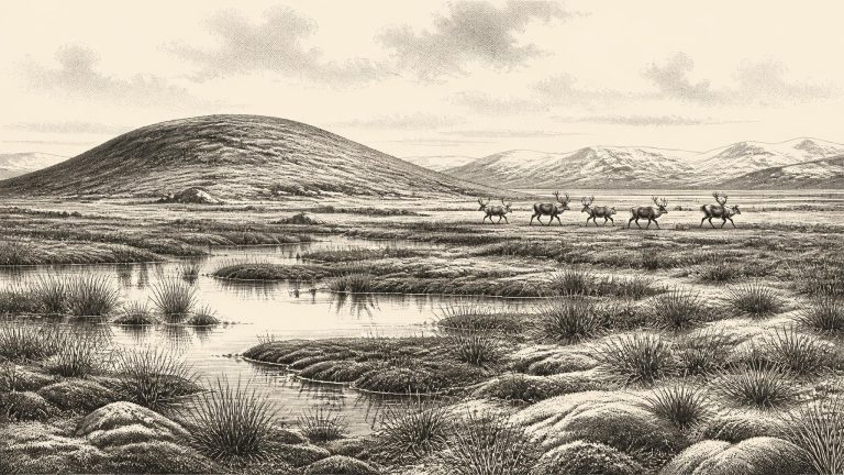
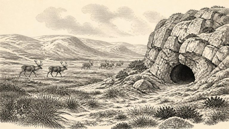
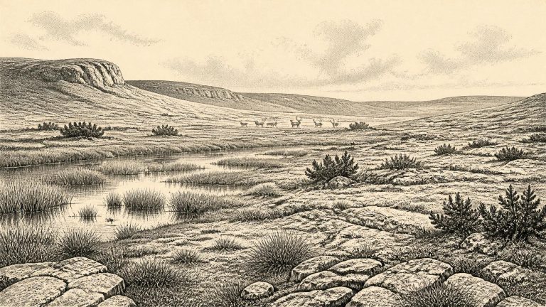
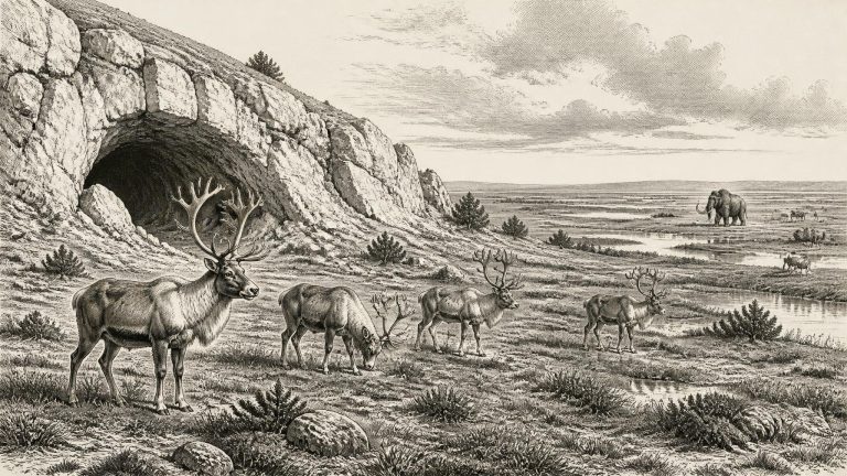
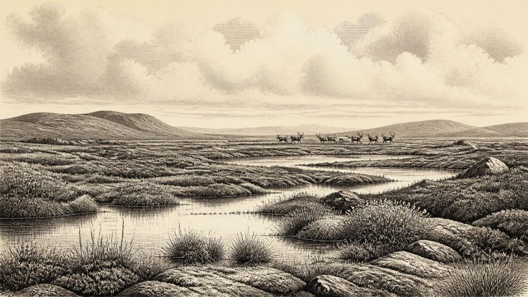
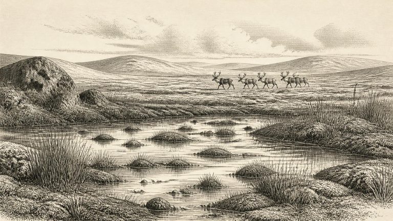
Around this nominal date, Ireland was not the wooded island familiar from later prehistory. The available evidence instead points to an exposed, largely treeless world, subject to sharp climatic swings. Conditions varied across time and region: “MIS 3” does not mean one uniform climate. Shorter milder episodes alternated with severe cold, and southern and northern Ireland need not have experienced precisely the same environment at the same moment. The strongest evidence comes not from villages or tools, but from pollen, beetles, plant remains, cave deposits, animal bone and calcite formations in caves.
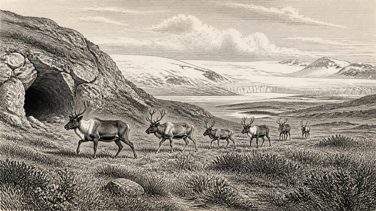
Ireland was not yet at the Last Glacial Maximum, the later phase when the British–Irish Ice Sheet reached its greatest overall extent, broadly between about 27,000 and 21,000 years ago. Around the horizon represented by 31,776 BCE, however, that ice complex was developing. Reviews of the ice-sheet record place its principal build-up after roughly 35,000–32,000 years ago, while emphasising that individual ice lobes advanced and retreated unevenly. It would be wrong, therefore, to picture either a wholly ice-covered Ireland or an entirely open island at this exact point. Conditions differed sharply between regions and changed over comparatively short geological intervals.
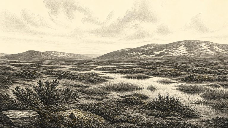
The most illuminating Irish evidence comes not from monuments or villages, but from sediments trapped beneath later glacial deposits. At Derryvree, organic silts lay between two tills: deposits of debris left by moving ice. Before later ice covered the site, its waterlogged sediments preserved pollen, mosses and other biological traces. Their value lies in this sequence. They show that part of Fermanagh was ice-free long enough for freshwater and wet-ground environments to develop, before a subsequent phase of ice-sheet advance buried the evidence.
This was well before the Last Glacial Maximum, the period when the British–Irish Ice Sheet reached its greatest overall extent. A widely used chronological model places the main build-up of that ice sheet after roughly 35,000–32,000 years ago, with its maximum much later, broadly 27,000–21,000 years ago. Yet the approach to maximum glaciation was neither smooth nor simultaneous around every Irish coast and upland. Ice masses advanced and retreated, climates swung abruptly, and the extent of ice-free ground remains a research question in several regions. It is unsafe, therefore, to imagine all Ireland as either a continuous white ice cap or an unbroken habitable plain at 31,778 BCE.
MIS 3, conventionally spanning roughly 57,000 to 29,000 years ago, was not a single uniform climate. North Atlantic temperatures swung sharply between colder episodes and relatively milder interstadials. Ireland lay at the oceanward edge of north-west Europe, exposed to Atlantic weather systems and to shifts in the growth of the British–Irish Ice Sheet. The detailed reconstruction of that ice sheet is strongest from around 31,000 years ago onwards, and even then it presents alternative minimum, optimum and maximum ice limits where direct evidence is lacking. Around the notional date used here, therefore, it is safer to speak of advancing or intermittently expanded ice and of regional uncertainty than to draw a neat line between an icy north and an ice-free south.
The difficulty begins with chronology. Radiocarbon measurements are expressed in radiocarbon years before present, where “present” conventionally means AD 1950; they are not direct calendar dates. Atmospheric carbon-14 varied through time, especially during the Ice Age, so measurements require calibration against curves assembled from independently dated records. At this antiquity the resulting calendar ranges can be broad. A deposit may overlap 31,780 BCE without showing that it formed during that exact notional year. It is better to say that evidence illuminates an interval around the date.
The principal anchor is a road-cut through a drumlin at Derryvree, near Maguiresbridge in County Fermanagh. Excavations in 1969 revealed organic freshwater silts and fine sands enclosed between two thick, distinct sheets of till: unsorted debris deposited by glacier ice. The sequence gives a clear relative order. An earlier glacier had laid down the lower till; a freshwater environment then developed; and a later advance buried the deposits beneath another till. The organic horizon produced the conventional radiocarbon measurement Birm-166, 30,500 years BP, with a substantial uncertainty of minus 1,030 and plus 1,170 years.
The strongest caution concerns chronology. A radiocarbon measurement records the decay of carbon-14, not a directly observed calendar date. It must be calibrated against an internationally maintained curve, and the farther back one goes, the wider the resulting range may be. The most relevant northern Irish deposit, at Derryvree near Maguiresbridge in County Fermanagh, produced organic silts dated to 30,500 radiocarbon years BP, with a substantial published uncertainty of +1,170 and −1,030 years. Calibration places the deposit broadly within the later part of MIS 3, approximately c. 37,000–31,700 calibrated years BP. The nominal modern year 31,782 BCE lies within that broad window; it cannot identify one season, generation or event within it.
Radiocarbon dating does not yield a simple modern calendar date. It measures the remaining radioactive carbon in organic material, and its results must be calibrated against independently dated records. The calibration curve becomes less precise farther back in time, so a single measurement commonly corresponds to a range of possible calendar ages. This matters especially here. The strongest environmental record relevant to this notional year comes from Derryvree, near Maguiresbridge in County Fermanagh, where organic silts between two tills produced a conventional radiocarbon age of 30,500 years BP, with a substantial uncertainty. Calibration places that material broadly around 36,900–31,700 calendar years BP. Thus 31,783 BCE lies within the range, but cannot be claimed as the precise moment when the Derryvree plants grew or its animals lived.
The key northern archive lies at Derryvree, near Maguiresbridge in County Fermanagh. Roadworks there exposed a remarkable sequence within a drumlin: one thick glacial till below, organic silts and fine sands in the middle, and another till above. The middle deposits were laid down beside freshwater during an ice-free interval between episodes of glaciation, then buried and protected when ice later returned. Their radiocarbon result of 30,500 radiocarbon years before present, with a substantial error range, is not identical to the modern label 31,784 BCE. Once calibrated, it nevertheless places the deposit within the cold Late Pleistocene world relevant to this article.
The distinction between radiocarbon years and calibrated calendar years matters especially at this depth of time. A radiocarbon result measures the remaining carbon-14 in organic material, but atmospheric carbon-14 levels have varied greatly. Researchers therefore calibrate results against internationally maintained curves such as IntCal20. At around 34,000 calendar years ago, calibration intervals can be broad, and revised laboratory pretreatment can substantially alter older results. A date written as 31,785 BCE should consequently be read as an approximate modern conversion, not as a date known to contemporaries or an exact timestamp for an archaeological layer.
Even the conversion from an ancient radiocarbon measurement to a calendar range requires care. Radiocarbon years are not identical to calendar years because atmospheric carbon-14 has varied over time. The Derryvree organic bed produced a conventional age of 30,500 radiocarbon years before present, with a substantial uncertainty. Modern calibration curves translate such results into probability ranges rather than exact points. The farther back in time, the more essential that distinction becomes. A numbered BCE year can be useful for arranging a long historical sequence, but it must not suggest a degree of precision that the evidence cannot sustain.
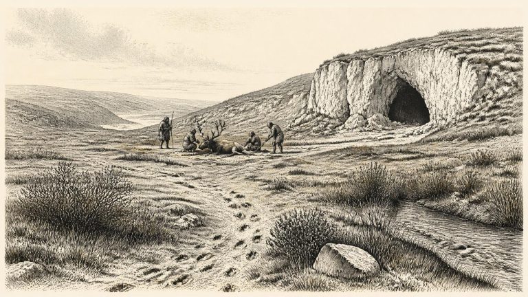
For Ireland around this point, there are no names, communities, settlements, graves, tools in secure context, hearths or written traditions. There can therefore be no responsible account of rulers, diplomacy, warfare, law or political boundaries. Nor is there evidence for a permanent population. This is not a failure to look hard enough for a lost Irish kingdom: it reflects the immense antiquity of the period, subsequent glacial erosion, changing sea levels and the very small amount of surviving Palaeolithic evidence on the island.
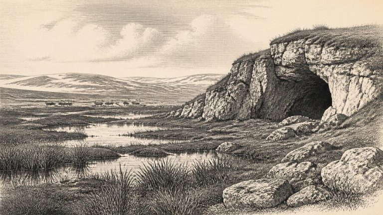
The closest Irish environmental archive to this notional year lies at Derryvree, near Maguiresbridge in County Fermanagh. Road works in 1969 cut through a drumlin and exposed freshwater silts and fine sands, including an organic, moss-rich deposit, lying between two bodies of glacial till. This stratigraphy is crucial. Till below the organic beds records an earlier glacial episode; the silts and biological remains show that freshwater and vegetation later occupied the locality; deposits above them indicate renewed glacial conditions. Derryvree therefore preserves a sequence of environmental change rather than an unbroken annual diary.
Ireland was in the last Ice Age, but that does not mean that the whole island was necessarily sealed beneath one unbroken sheet of ice at this precise moment. Ice extent changed markedly through the glacial cycle and did not advance or retreat everywhere at once. Recent reconstructions of the British–Irish Ice Sheet suggest that much of the last Irish ice sheet expanded from relatively ice-free conditions from about 34,000 years ago, with ice reaching the south coast only substantially later, after about 24,000 years ago. That broad reconstruction is more secure than any claim about a single winter or summer in 31,789 BCE.
Ireland was not yet simply the ice-covered land of the Last Glacial Maximum. The great maximum expansion of the British–Irish Ice Sheet came later, with different sectors advancing and retreating at different times. Yet this was already a cold world of recurring climatic shifts, local glaciation and expanding ice masses. Recent syntheses emphasise that the ice sheet’s history before its maximum remains less securely dated than its later retreat. There are indications of substantial ice in Ireland and western Britain before 30,000 years ago, but the precise extent, thickness and timing of individual advances are still matters for research rather than settled fact.
Ireland was not yet necessarily the fully ice-covered land it became during the Last Glacial Maximum, conventionally placed later, broadly between about 26,500 and 19,000 years ago. The British–Irish Ice Sheet was growing and changing, however, while climate shifted abruptly between relatively milder interstadials and severe cold phases. It is misleading to picture a stable “Ice Age Ireland”. Conditions could differ greatly over centuries or millennia, and between exposed Atlantic coasts, uplands, river valleys and limestone lowlands.
In the wider north-west European sequence, this was not yet the climatic peak of the last glaciation. Reconstructions of the British–Irish Ice Sheet place its major expansion after about 35–32 thousand years ago, with maximum extent much later, broadly between 27 and 21 thousand years ago. That does not mean a uniform, ice-free Ireland in the earlier period. Ice masses grew and shifted in response to changing climate, while exposed ground, valley glaciers, ice margins and cold periglacial landscapes could occur in different regions at different times. The exact extent of ice around 33.7 thousand calibrated years ago remains a matter of reconstruction rather than something directly mapped from a single Irish deposit.
Ireland was approaching, but had not yet reached, the most extensive phase of the last glaciation. The Last Glacial Maximum in the Irish sector came later, broadly after c. 27,000–25,000 calibrated years ago, and major ice-sheet growth and retreat were uneven in both place and time. Reconstructions of the British–Irish Ice Sheet therefore caution against imagining the whole island as a single, permanently ice-covered block in 31,793 BCE. Conditions, ice margins and habitable ground could differ sharply between regions and over periods far shorter than the archaeological resolution available to us.
31,794 BCE is a modern chronological label, not a year that can be recovered from Ireland’s prehistoric evidence. No written record, annually layered archive, settlement sequence or securely dated event allows Irish history to be narrated at calendar-year precision this far back. In archaeological terms the date falls roughly 33,700 years ago, within the later part of the Last Glacial period and Marine Isotope Stage 3. Radiocarbon results of this age must be calibrated, and their ranges commonly span many centuries or millennia. The responsible task is therefore not to invent an episode for one numbered year, but to examine the dated environmental and faunal evidence that illuminates Ireland around this broad horizon.
The closest Irish environmental evidence comes from Derryvree near Maguiresbridge in County Fermanagh. Roadworks there in 1969 exposed organic silts and fine sands enclosed between two layers of glacial till. The deposit yielded a radiocarbon result of 30,500 ± c.1,100 radiocarbon years BP; later calibration places it broadly between about 36,900 and 31,700 cal BP. That range overlaps the chronological point represented by 31,795 BCE, but it is much too wide to make Derryvree a snapshot of that year.
Ireland stood well before the Last Glacial Maximum, when the British–Irish Ice Sheet expanded to cover most of the island. That later maximum is generally placed around 27,000 years ago in the British–Irish record, although its timing and extent varied from one ice-sheet sector to another. Around the nominal date used here, ice, water, vegetation and animal ranges were already changing on long and sometimes abrupt timescales. It is unsafe to picture a single fixed national landscape. Some places may have supported exposed ground and freshwater habitats during milder intervals; others lay nearer active or advancing ice; still others have left no surviving environmental record at all.
Radiocarbon laboratories conventionally report age in years before AD 1950, and a radiocarbon determination is not automatically a calendar age. Atmospheric carbon levels varied through time, so measurements must be calibrated against independently dated records. IntCal20, the current Northern Hemisphere calibration curve extending to 55,000 calendar years before present, has improved this process but has not made the far past precise to individual years. Thus 31,797 BCE is best treated as approximately 33,746 calendar years before AD 1950, not as a date at which a particular Irish occurrence happened. Where published scholarship provides ranges, those ranges matter more than a calculated BCE label. The Last Glacial Maximum, for example, is generally placed at about 28,200–20,400 calibrated years before present, while the date considered here belongs to the preceding interval.
31,798 BCE is a modern way of placing a point far back in the Late Pleistocene. It was not a year that anybody in Ireland could have named, recorded or experienced within a calendar. Archaeology cannot identify an event on this particular year, nor can it supply rulers, battles or settlements for it. The responsible approach is to consider the much broader period around it: roughly 33,700 calibrated years before 1950, within Marine Isotope Stage 3, an unstable interval of the last Ice Age.
The date convention itself needs care. “31,799 BCE” is calculated backwards from the modern calendar and gives an appearance of precision that the evidence cannot match. Archaeologists and Quaternary scientists normally use radiocarbon years BP and calibrated calendar years BP. The internationally used IntCal20 calibration curve reaches back to 55,000 calendar years BP, but it does not turn a sample into a record of a particular season or year. A radiocarbon measurement dates the death of an organism, while the deposition, disturbance and excavation of its remains may all be later.
The distinction between radiocarbon years and calendar years matters especially here. A determination of 30,500 radiocarbon years before present from organic deposits at Derryvree, near Maguiresbridge in County Fermanagh, has been calibrated in later work to a broad range of about 36,900–31,700 cal BP. “Before present” conventionally means before AD 1950. Thus 31,800 BCE falls near the younger end of the wider calibrated interval, rather than marking a separate archaeological horizon. The Derryvree material is not a diary of 31,800 BCE; it is a deposit accumulated in a cold-stage environment and dated with an uncertainty that must remain visible in any account of the period.
The distinction between radiocarbon and calendar time matters especially here. A radiocarbon measurement is not itself a calendar date: variations in atmospheric carbon-14 must be corrected through calibration, and uncertainty expands markedly at great antiquity. IntCal20, the current internationally compiled Northern Hemisphere calibration curve, reaches back to 55,000 calibrated years BP, but its authors stress that older determinations may produce wide or more than one possible calendar range. A numbered BCE year can therefore only be used as a convenient point within a much broader archaeological timescale.
The numbered year falls within the calibrated range associated with organic sediments at Derryvree, near Maguiresbridge in County Fermanagh. Roadworks exposed a remarkable sequence through a drumlin: one body of glacial till lay below freshwater sands and silts, while another till sealed them above. The deposit consequently preserves an interval when ice was absent locally between two major phases of glaciation. Organic material from the freshwater beds produced a radiocarbon age of about 30,500 years before present; calibration has placed it broadly at approximately 36,900–31,700 calibrated years before present.