Membership is completely free, giving members unlimited access to all available resources, services, features, and benefits without any restrictions or fees.
Welcome back. Sign in to continue enjoying unlimited access to all available resources, services, features, and member benefits at no cost.
Ireland was not yet at the Last Glacial Maximum, when the British–Irish Ice Sheet expanded dramatically and covered much of the island. That later maximum is generally placed around 27,000–23,000 years ago in the Irish Sea and Celtic Sea sectors, with substantial regional variation in the timing and behaviour of ice. Around the present horizon, conditions were cold, unstable and markedly different from those of modern Ireland, but it is unsafe to picture the whole island as either continuously ice-covered or uniformly open. Glaciers, permafrost, snow cover, exposed ground and vegetated refuges changed across both space and time.
Modern calendar-year precision is unavailable. A point corresponding approximately to 33.8 ka ago falls close to the transition between Greenland climatic events conventionally called Greenland Stadial 6 and Greenland Interstadial 6 on the extended GICC05 ice-core timescale. The onset of GI-6 is placed at about 33,740 years before AD 2000, but correlations between Greenland ice, Irish sediments and cave finds are neither exact nor automatic. An interstadial in a Greenland isotope record identifies a major North Atlantic climatic shift; it does not prove that the same temperature, vegetation or ice limit occurred simultaneously in every Irish valley.
This was a time of climatic instability. The great British–Irish Ice Sheet had not yet reached its later maximum extent, but glaciers and ice caps occupied parts of Ireland’s uplands and northern districts. The island was neither uniformly ice-covered nor a mild, settled landscape. Conditions changed markedly over long spans, with cold phases, short-lived ameliorations, advancing ice and areas of exposed ground. Modern reconstructions of the ice sheet underline both the scale of this change and the difficulty of assigning a precise local climate to one numbered BCE year. They show substantial ice growth across the British Isles between about 31,000 and 23,000 years ago, with differing sectors advancing at different times.
Ireland was not then the familiar green, wooded island of later prehistory. Its climate was cold, but not simply and permanently frozen. MIS 3 was marked by sharp climatic oscillations: relatively milder interstadials alternated with severe stadials. In western Europe these changes could occur on timescales much shorter than conventional historical periods. A date around 31,868 BCE therefore belongs to an unstable environmental threshold, as the British–Irish Ice Sheet was expanding towards the far greater extent it would achieve later in the glacial cycle.
Ireland at this point lay in the Pleistocene, long before farming, monuments, metalworking, written language or the political communities familiar from later history. Archaeologists and Quaternary scientists commonly use Midlandian for the last cold stage in Ireland, broadly corresponding to the Devensian of Britain and parts of Marine Isotope Stages 4–2. Around 33.8 thousand calibrated years BP, the climate was cold, but the final and most extensive phase of the last Irish Ice Sheet had not yet overwhelmed all parts of the island.
Radiocarbon ages are not calendar ages. They measure the remaining carbon-14 in organic material and must be calibrated against records of changing atmospheric carbon. For dates this old, calibration commonly produces wide ranges rather than a neat conversion. The designation 31,870 BCE should consequently be read as an approximate point within a larger climatic and archaeological interval, not as an anniversary. It is safer to say that Ireland around this time lay in MIS 3, during the long and uneven approach towards the Last Glacial Maximum.
Radiocarbon years are not calendar years. A laboratory measures the remaining radioactive carbon in a sample such as bone collagen, then estimates when the animal died. The result must be calibrated against changing atmospheric carbon levels, using curves assembled from independently dated archives including tree rings, cave deposits, lake sediments and corals. At more than 30,000 years ago, those conversions have appreciable uncertainties. A result may translate into a range of calendar ages rather than a single point, and revised pretreatment of old bone can alter earlier determinations. Modern dating conventions also count “before present” from AD 1950, not from the present day.
Ireland was in an Ice Age, but “Ice Age” should not be mistaken for a single, unchanging condition. MIS 3 was climatically volatile. Colder intervals alternated with comparatively milder episodes, while the British–Irish Ice Sheet expanded, retreated and reorganised in different regions. Recent reconstructions stress that its margins did not advance everywhere in step. Around 31,872 BCE, Ireland was approaching the later Last Glacial Maximum rather than standing at its peak, which was reached much later, principally around 26,000–24,000 years ago in the wider British–Irish system.
At this distance in time, Ireland was not a fixed physical stage. Ice sheets expanded and contracted, sea level changed, river systems altered course, and vegetation responded rapidly to shifts in temperature and moisture. MIS 3 was colder than the present but was not one uninterrupted freeze. Greenland ice-core records, cave mineral deposits and sediments across north-west Europe reveal abrupt alternations between comparatively milder interstadials and harsher stadials. Irish evidence preserves parts of that changing pattern, although rarely with enough resolution to reconstruct a particular decade, let alone a year.
Radiocarbon dates are not calendar dates. A laboratory measurement records the remaining radioactive carbon in a sample and is conventionally expressed in radiocarbon years BP; it must then be calibrated against independently dated records of changing atmospheric carbon. At the depths of time involved here, calibration can produce broad and sometimes discontinuous probability ranges. A date such as 31,874 BCE is consequently useful only as a modern reference marker: it cannot identify a season, a generation, or even a discrete archaeological horizon. The relevant evidence comes instead from deposits whose ranges overlap that point in time.
Ireland lay on the north-western edge of Europe during a long cold age. The British–Irish Ice Sheet was not a fixed white blanket that appeared everywhere at once: it grew, shifted and responded to regional conditions. Major syntheses place its broad build-up after roughly 35,000–32,000 years ago, with maximum extent reached at different times in different sectors, broadly between c. 27,000 and 21,000 years ago. Around the notional date represented by 31,875 BCE, Ireland was thus moving towards, rather than sitting at the peak of, the Last Glacial Maximum.
Ireland had not yet reached the Last Glacial Maximum, the later phase when a greatly enlarged British–Irish Ice Sheet covered much of the island and reshaped its terrain. The best current reconstructions describe the ice sheet as building between about 31,000 and 26,000 years ago, before its maximum extent and volume in the following millennia. Around the period represented by 31,876 BCE, conditions were cold and unstable, but the available evidence indicates that at least some areas of Ireland remained ice-free. This was not a green, familiar island waiting to be settled. It was a high-latitude landscape repeatedly affected by severe climatic shifts, frost action, sparse vegetation and the approach of expanding ice.
This was long before the Last Glacial Maximum, the coldest and most extensive phase of the last glaciation in Ireland. Recent reconstructions of the British–Irish Ice Sheet indicate major growth from about 31,000 calibrated years before present, with different sectors advancing at different times; the ice sheet’s greatest volume came much later, around 23,000 years ago. Around the notional date represented by 31,877 BCE, Ireland should not be pictured simply as a single white mass of permanent ice. Conditions, ice margins and habitable ground varied sharply by region and through time.
Radiocarbon years are not calendar years. The quantity of carbon-14 in the atmosphere has varied through time, so a laboratory measurement must be calibrated against an internationally maintained curve. At about 34,000 years ago, the conversion may produce broad intervals rather than a precise answer, and the dated material itself may represent only one moment within a longer-lived deposit. A nominal date such as 31,878 BCE must therefore not be treated as the anniversary of a hunt, a migration or a climatic episode.
Derryvree was revealed in a road cutting near Maguiresbridge in 1969. Beneath the material that forms a drumlin lay freshwater silts and fine sands, rich enough in organic matter to preserve traces of plants and small animals. Above and below were tills: dense deposits made or reworked by glaciers. The sequence is therefore an unusually direct piece of evidence that, before a later advance of the Irish Ice Sheet, this part of Fermanagh contained open ground and freshwater rather than permanent ice.
Archaeologists employ several clocks for this period. Radiocarbon results are conventionally reported in years before present, where “present” means AD 1950; because atmospheric carbon has varied through time, those results must be calibrated against independently dated records. Even calibrated dates are ranges of probability, not single moments. Deposits may also have been disturbed by water, frost, scavengers, excavation and later collecting. A bone can date the death of an animal, but it does not necessarily date the formation of a whole cave layer or the arrival of every other object beside it.
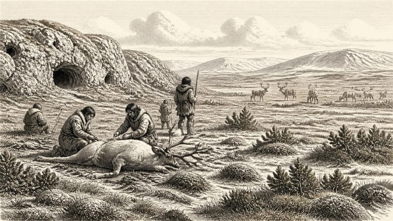
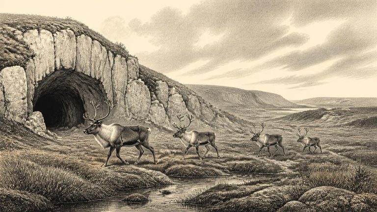
For Ireland, this was the Middle Midlandian phase of the last glacial cycle: a long, unevenly cold era in which climate, ice cover, sea level and animal ranges repeatedly changed. The island’s later historical map is of little use here. There were no counties, settlements, peoples or political territories in the documentary sense. Even whether Ireland was continuously inhabited at this point cannot be demonstrated. What survives instead are deposits beneath later glacial sediments, cave-bone collections, pollen and plant remains, landforms, and laboratory dates. Each is a fragment with its own strengths and limitations.
There are no written sources, named communities or datable political institutions for Ireland at this time. Nor is there evidence for kingdoms, diplomacy, formal warfare, farming, permanent villages, monuments or organised religion. It would be misleading to fill these silences with familiar prehistoric imagery. The Gaelic language, Irish place-names, megalithic tombs, metalwork and the social structures known from later archaeology all lay tens of thousands of years in the future.
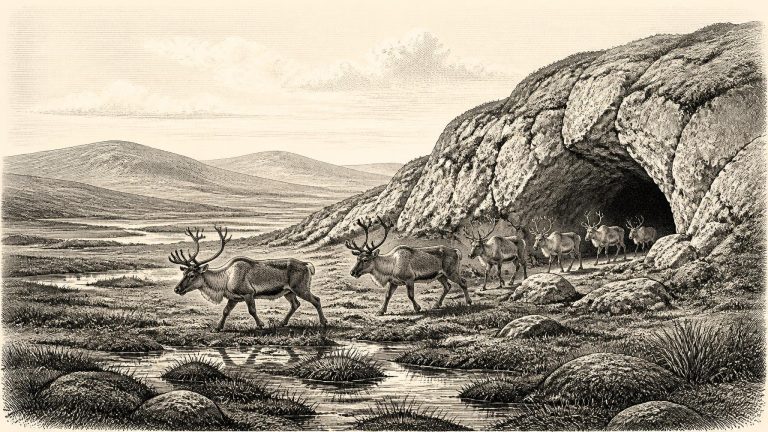
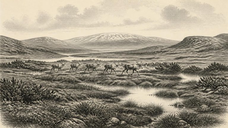
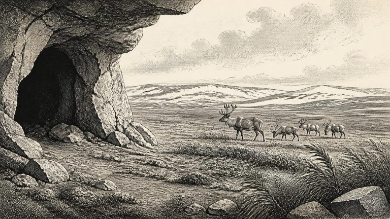
Even with those cautions, Derryvree is exceptionally important. It shows that north-central Ireland was ice-free during a part of MIS 3 before the main expansion of the last Irish ice sheet. Plant and animal traces in the silts point to an open, treeless or almost treeless tundra landscape under periglacial conditions. Mosses and sparse herbaceous pollen survived where later ice would bury the old ground beneath till. The evidence does not provide a picturesque, complete view of the countryside: pollen was poorly preserved, and the proportions of plants in a deposit do not translate simply into a map. Yet it firmly rules out a wooded, temperate Ireland.
At this point Ireland lay within Marine Isotope Stage 3, a long and climatically unstable interval of the last Ice Age. It was colder than the present, but it was not yet the moment when the last British–Irish Ice Sheet reached its fullest known extent. Major reconstructions place that maximum principally around 27,000–25,000 years before present in north-western sectors and about 25,000–23,000 years before present in the Irish Sea and Celtic Sea regions. Thus 31,884 BCE belongs to the preceding build-up: an age of pronounced cold shifts, expanding ice and exposed continental shelves, but not one in which a simple map can safely label all Ireland as either wholly frozen or wholly ice-free.
At around this point in time, Ireland lay in a changing north Atlantic world of rapid climatic oscillations. The great Last Glacial Maximum, when the British–Irish Ice Sheet reached its fullest late-glacial extent, lay ahead, with maximum ice volume now placed at about 23,000 years before present. Yet cold conditions and expanding glaciers were already reshaping the region. Reconstructions of ice growth between 31,000 and 30,000 years before present show how quickly the British–Irish Ice Sheet could advance, while also recognising wide uncertainty about the exact position of ice margins in particular Irish regions at particular moments.
Radiocarbon years are not identical to calendar years. Atmospheric carbon levels have varied through time, so radiocarbon measurements require calibration against independently dated records. At around 34,000 years ago the resulting calibrated spans can be broad; an apparently exact BCE year should never conceal that uncertainty. Nor should every specimen dated to roughly this era be treated as contemporary with every other. A cave collection may contain bones deposited centuries or millennia apart, while an animal’s death date says nothing certain about when a cave was entered by people.
For this period, Ireland’s archive is exceptionally uneven. Later prehistory is rich in houses, monuments and artefacts; the evidence for the earlier Upper Palaeolithic is sparse, frequently disturbed and difficult to date. Caves preserve bones but can also be used by carnivores, reworked by water, disturbed by digging or mixed by later processes. Sediments beneath glacial deposits preserve environmental snapshots, but only at rare sites exposed by quarrying, road works or research excavation. The resulting history is necessarily regional and provisional.
Ireland was approaching, but had not yet reached, the fullest expansion of the last British–Irish Ice Sheet. The Last Glacial Maximum is generally placed later, broadly after c. 26,500 calendar years ago, although ice-sheet growth was neither simple nor simultaneous in every region. Reconstructions show that the British–Irish Ice Sheet expanded in phases, with different sectors reaching their greatest extent at different times. Around the chronological neighbourhood of 31,888 BCE, Ireland stood within a changing glacial world: substantial ice existed in the wider north-west European region, but parts of Ireland had at earlier points in MIS 3 remained free of overriding ice long enough for lakes, wetlands, plants and animals to leave traces.
Ireland was then in the Late Pleistocene, within a long and unstable cold phase of the last Ice Age. This was not yet the Last Glacial Maximum, the period when the British–Irish Ice Sheet reached its greatest known extent, broadly between 27,000 and 21,000 years ago. Nor was it a stable prelude to that maximum. Climate, sea level, ice extent, vegetation and animal distributions changed repeatedly over millennia. The evidence for the exact position of Irish ice margins before about 31,000 years ago remains sparse; it cannot justify a map showing every coast, valley or upland as either certainly ice-covered or certainly open at this notional date.
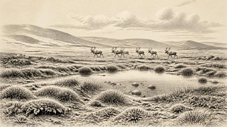
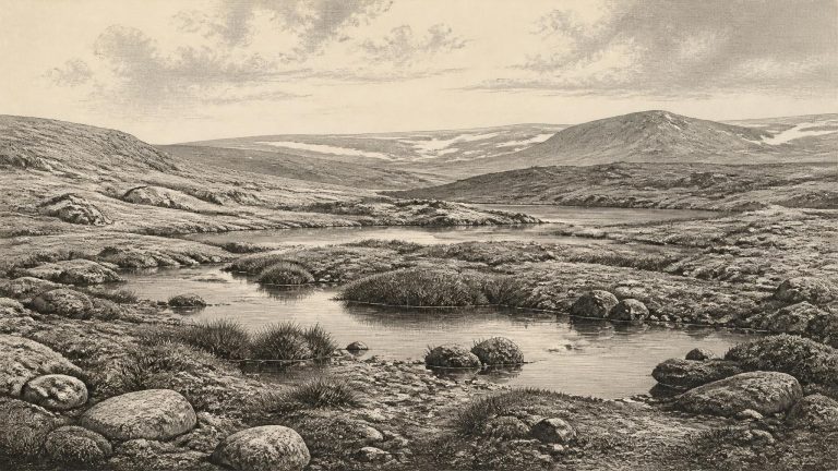
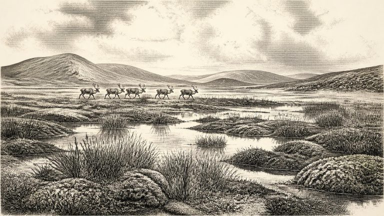
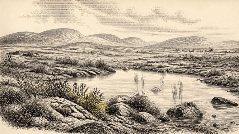
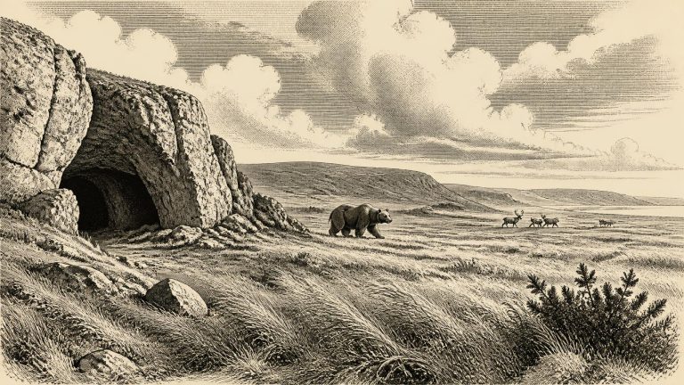
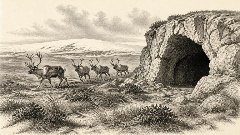
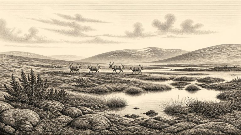
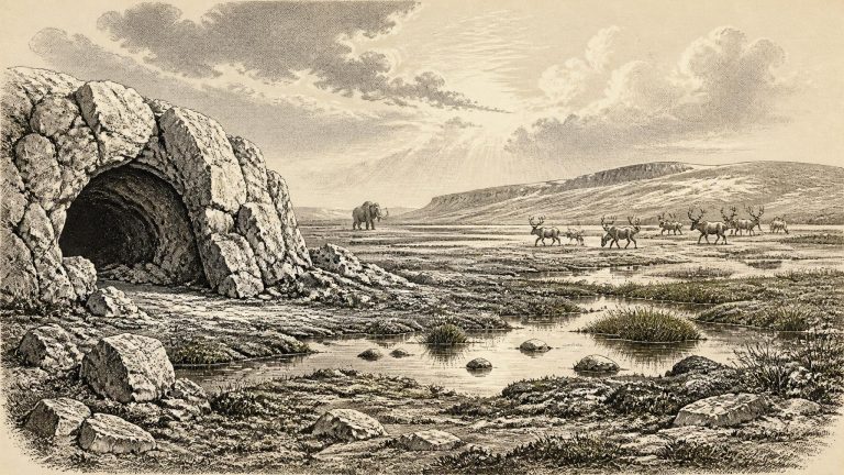
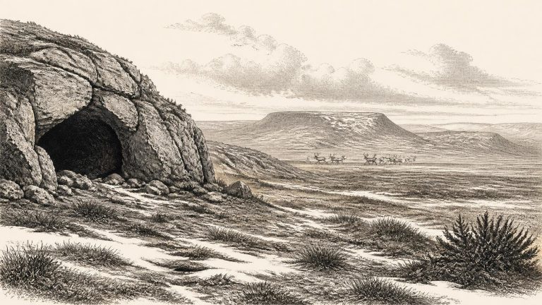
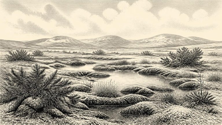
Derryvree preserves an unusually precious glimpse of an Irish landscape that later glaciation mostly destroyed or concealed. Mosses, sedges, herb pollen and cold-adapted beetles indicate open vegetation and a periglacial climate: ground subject to intense freezing and thawing, rather than a wooded country like modern Ireland. Sparse cover of grasses, sedges and low herbs would have occupied damp margins and more sheltered ground; exposed surfaces could have been stony, wind-scoured and seasonally frozen. This was tundra-like country, but it should not be pictured as a uniform white wilderness. Lakes, channels, wet hollows and patches of vegetation created local variety in a harsh landscape.
31,891 BCE is not a year that can be recovered from Ireland’s evidence in the way that a medieval annal or an excavated settlement can be. It is a modern calendar label projected deep into the Late Pleistocene. In radiocarbon convention it falls roughly 33,840 years before AD 1950, but neither people nor natural deposits in Ireland can presently be assigned to that individual calendar year. The responsible scale is a range of centuries or millennia. Around this point, Ireland belonged to Marine Isotope Stage 3, a fluctuating cold phase of the last glacial cycle, long before the Last Glacial Maximum reached its greatest extent.
In radiocarbon terms, 31,892 BCE lies about 33,842 years before AD 1950, the conventional ‘present’ used in radiocarbon dating. That calculation is only a guide. Radiocarbon years are not calendar years: atmospheric carbon levels changed through time, and dates must be calibrated against independently dated records. At this depth in time, calibrated results are broad rather than annual.
Radiocarbon dating does not translate automatically into a calendar year. A laboratory measures remaining carbon-14 in organic material and produces an age in radiocarbon years before present, where “present” conventionally means 1950. That result must then be calibrated against records of past atmospheric carbon-14. At this antiquity calibration produces ranges, sometimes broad or irregular ones, rather than an annual date. The internationally used IntCal20 curve extends to 55,000 calibrated years before present, but its older section necessarily combines several kinds of environmental archive and retains uncertainty.
The Derryvree sediments show that this part of Fermanagh was, for a time, free of overriding glacier ice. They also show that the interval lay between glacial episodes: older till beneath the organic deposit records an earlier advance, while younger till above it records ice that later crossed and incorporated the wetland. This is an important corrective to any simple image of an Ireland either wholly frozen or wholly open. The island’s glacial history was uneven, with local ice, ice-free ground, changing margins and environments that could be buried or destroyed by subsequent ice movement.