Membership is completely free, giving members unlimited access to all available resources, services, features, and benefits without any restrictions or fees.
Welcome back. Sign in to continue enjoying unlimited access to all available resources, services, features, and member benefits at no cost.
The nearest relevant Irish date comes from Derryvree, where roadworks exposed a drumlin containing a remarkable sequence: glacial till, then organic freshwater sediments and fine sands, then a later till. Till is debris laid down by glacier ice. The plant-bearing layer between the two tills records a period in which the locality was not under ice, before glaciers returned and sealed the deposits beneath a second sheet of glacial sediment. Organic material from the sequence produced the radiocarbon determination BIRM-166, conventionally dated to 30,500 radiocarbon years BP, with a substantial statistical uncertainty. Calibration converts radiocarbon years into estimated calendar years, but cannot turn the result into an anniversary. Published discussion places the Derryvree deposits broadly within about 36,900–31,700 calibrated years BP. The modern label 30,796 BCE lies within that wide interval, not at a demonstrable beginning, end or episode within it.
Radiocarbon measurements are not calendar dates. They measure residual carbon-14 and require calibration against an internationally maintained curve, which accounts for past changes in atmospheric carbon-14. At more than 30,000 years ago, both laboratory uncertainty and the shape of the calibration curve mean that results commonly translate into broad probability ranges. IntCal20 extends the Northern Hemisphere calibration framework to 55,000 calibrated years before present, but it does not make annual precision possible at Derryvree or anywhere else in Ireland at this depth of time.
“30,798 BCE” is a modern chronological label, not a year that can be recovered from an Irish record. No calendar, written testimony, named individual, settlement, burial or event can be assigned to this particular twelve-month span. In radiocarbon terms it lies roughly 32,700 calendar years before present, where “present” conventionally means AD 1950. At such depth, dates are expressed as calibrated ranges, often with substantial uncertainty, rather than as exact historical years. The appropriate setting is the Late Pleistocene, during Marine Isotope Stage 3 (MIS 3), a long and climatically volatile phase of the last glacial cycle.
Ireland at this broad horizon was not the familiar green, wooded island of later millennia. It lay within the Midlandian, the Irish name for the last major glacial cycle, equivalent to the Devensian in Britain and the Weichselian in northern Europe. MIS 3 was not a single uniform freeze. Greenland ice-core records and north-west European sequences show repeated, sometimes abrupt shifts between colder stadials and comparatively milder interstadials. Irish evidence is too fragmentary to assign weather to 30,799 BCE itself, but it strongly indicates a cold, treeless and highly seasonal world in the millennia around it.
Ireland was approaching, but had not yet reached, the fullest expansion of the last British–Irish Ice Sheet. The principal Last Glacial Maximum in the Irish sector is generally placed later, broadly about 27,000–23,000 calibrated years before present. At its height, ice covered Ireland and extended across much of its continental shelf. That later event matters greatly for 30,800 BCE: it rearranged landscapes, eroded or buried older deposits, and helps explain why the human and environmental record for this earlier period is so fragmentary.
Derryvree is important because most evidence from this age has been erased, reworked or buried by later glaciers. It demonstrates that at least one part of Fermanagh was free of overriding ice for long enough to sustain standing or slow-moving fresh water and a wetland margin. It does not demonstrate that the whole island was ice-free at the same time. Ireland’s ice cover changed from region to region, while the wider British–Irish Ice Sheet was capable of repeated growth, retreat and reorganisation during MIS 3. The much more extensive Last Glacial Maximum ice cover came later: evidence places maximum Irish and shelf-edge glaciation principally around 27,000–23,000 calibrated years BP, although individual sectors did not behave in unison.
The best Irish evidence relevant to this broad period comes not from a settlement but from deposits exposed at Derryvree, near Maguiresbridge in County Fermanagh. Roadworks in 1969 cut through a drumlin and revealed a remarkable sequence: one thick layer of till, laid down beneath glacier ice; freshwater silts and fine sands with organic remains; and a second till above them. The order of those layers is secure. Ice had occupied the locality, then a non-glacial interval permitted a wetland or shallow-water environment to form, and later ice overrode and sealed it. It is precisely this burial that preserved a fleeting environmental record which might otherwise have vanished.
The closest Irish evidence to this notional date comes from Derryvree townland, near Maguiresbridge in County Fermanagh. Road works in February and March 1969 cut through a drumlin, exposing a striking sequence. A lower layer of till—unsorted material deposited directly by glacier ice—was overlain by freshwater silts, fine sands and organic layers, which in turn were sealed beneath another thick till sheet. The order is clear even where the calendar is not: ice had occupied the site; an interval without local glacier cover permitted freshwater sediment and organic matter to accumulate; then ice later returned and buried the deposit.
Ireland was not yet the wholly ice-covered landscape associated with the later Last Glacial Maximum. That maximum lay in the future, although the British–Irish Ice Sheet was already developing through a sequence of advances, retreats and shifting margins. Recent glaciological syntheses stress that the configuration of ice during MIS 3 remains less securely dated than that of the later maximum. It would be unsafe, therefore, to draw a single coast-to-coast ice front for 30,804 BCE or to claim that every part of Ireland was either habitable or glaciated at once.
Around this broad horizon, Ireland was not the familiar island of woodland, farms and coast roads. It was part of a changing north-west European cold-stage world. Sea level was far lower than today, although precisely reconstructing routes between Ireland, Britain and continental Europe is difficult: exposed land, shallow seas, ice and shifting shorelines did not produce a simple, permanent land bridge. The island’s geography and access changed over long periods, as did the extent of glacier ice. It is therefore misleading to imagine either an entirely ice-covered Ireland or a wholly open, habitable island in 30,805 BCE. Different districts could have had very different conditions, and evidence from one site cannot serve as a weather report for all.
The closest especially valuable Irish sequence is at Derryvree, near Maguiresbridge in County Fermanagh. Roadworks exposed a drumlin whose internal layers included organic freshwater silts and fine sands between two deposits of till: the unsorted debris laid down directly by glacier ice. The sequence establishes a clear order. Ice had earlier covered this locality; an interval followed in which water, sediments and organic remains accumulated; then a later ice advance overrode and sealed the wetland beneath fresh till.
Derryvree matters because its stratigraphy preserves a sequence of dramatic change. Organic, freshwater sediments and fine sands lay between two deposits of till, the unsorted debris left by glacial ice. This order shows that ice had affected the locality, then ceased to cover it long enough for a wetland or shallow-water environment to develop, before a later advance buried the record. The site is not a weather station for the whole island, and its date range does not mean every part of Ireland was ice-free at once. Yet it decisively demonstrates that north-central Ireland had locally ice-free ground during part of MIS 3.
That distinction matters. A radiocarbon measurement records the age of particular organic material, with uncertainty; it does not date every plant, animal or activity in a landscape to an exact calendar year. Calibration is necessary because atmospheric radiocarbon levels have changed through time, and at this depth in the past the calibrated ranges are especially broad. The date therefore belongs in an environmental interval, not in an annal-like sequence of events. It is best understood as a window onto a cold, changing Ireland over many generations.
The closest Irish environmental evidence is at Derryvree, near Maguiresbridge in County Fermanagh. Roadworks in 1969 cut through a drumlin and exposed fine sands, freshwater silts and organic material lying between two tills: unsorted sediment deposited by glacial ice. The sequence establishes an important order of events. Ice had laid down the lower till; later, an ice-free local basin held water, plants and animals; another glacial advance subsequently covered and preserved those deposits beneath upper till.
“30,810 BCE” is a modern chronological label, not a year that can be recovered from Ireland’s archaeological record. There were no written calendars, named rulers or dated events on the island at this depth of time, and no excavated Irish site can presently be assigned to that individual year. In radiocarbon practice, “before present” means before AD 1950; the nominal year therefore sits at about 32,760 years before present. Yet that conversion should not be mistaken for precision. Radiocarbon determinations have statistical uncertainty, and their conversion to calendar ages requires calibration against changing atmospheric carbon levels. Responsible history here must use ranges, deposits and probabilities rather than a year-by-year narrative in the ordinary sense.
The most useful local chronological anchor is the Derryvree sequence near Maguiresbridge. Road works in 1969 cut through a drumlin and exposed freshwater silts and fine sands sealed between two substantial layers of glacial till. Organic material from the deposit returned a conventional radiocarbon determination of 30,500 years before present, with a large uncertainty of +1,170/−1,030 years. Later calibration places the deposit broadly between about 36,900 and 31,700 calendar years before present, approximately correlating with several Greenland interstadials. This makes Derryvree relevant to 30,811 BCE, but it does not prove that every layer, plant and animal there belonged to that single numbered year.
Ireland at this point was approaching, but had not yet reached, the Last Glacial Maximum, when the British–Irish Ice Sheet became much more extensive. That distinction matters. “Ice Age” does not mean that every place was continuously sealed beneath ice. The island’s glacial history involved changing ice margins, exposed ground, meltwater, frost-shattered slopes and periods in which animals could move through parts of the landscape. Exactly where ice lay in 30,812 BCE cannot be mapped from the evidence available. Reconstructions of the last ice sheet are strongest for its growth after this broad period and for its later retreat; they caution against drawing a sharp, island-wide ice boundary for one notional year.
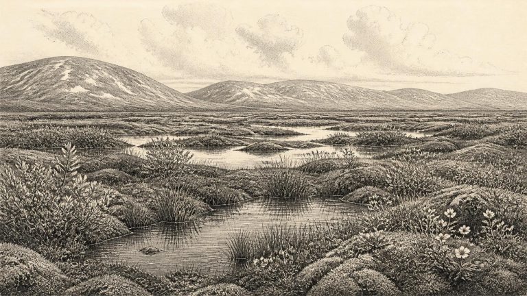
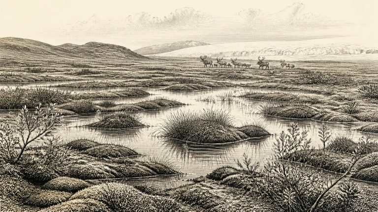
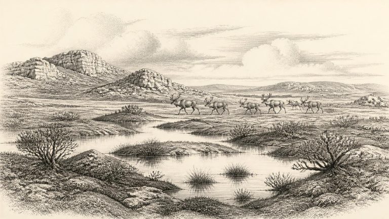
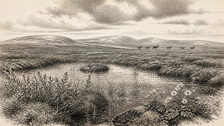
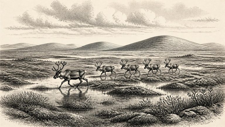
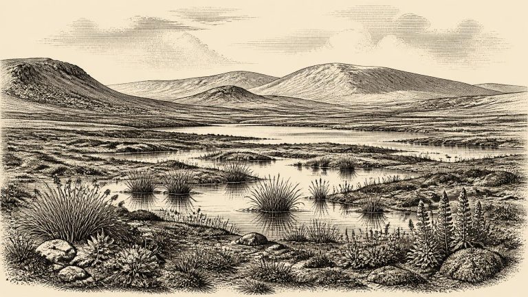
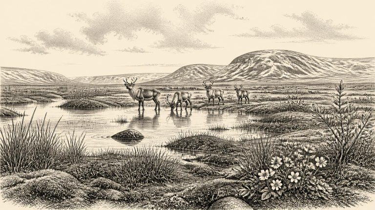
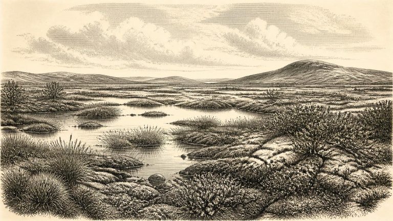
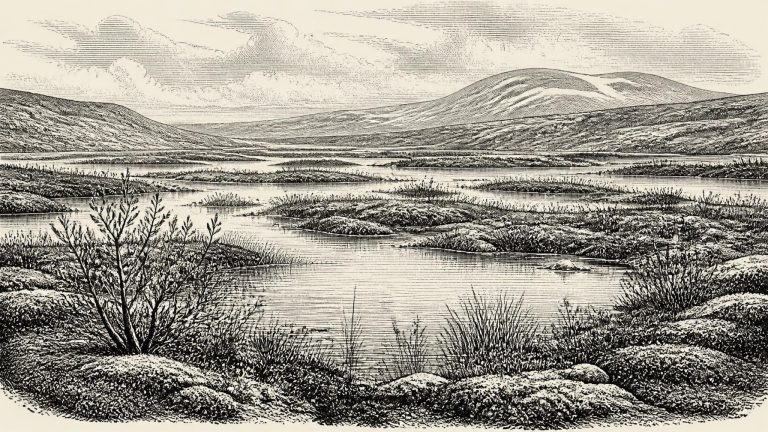
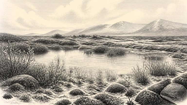
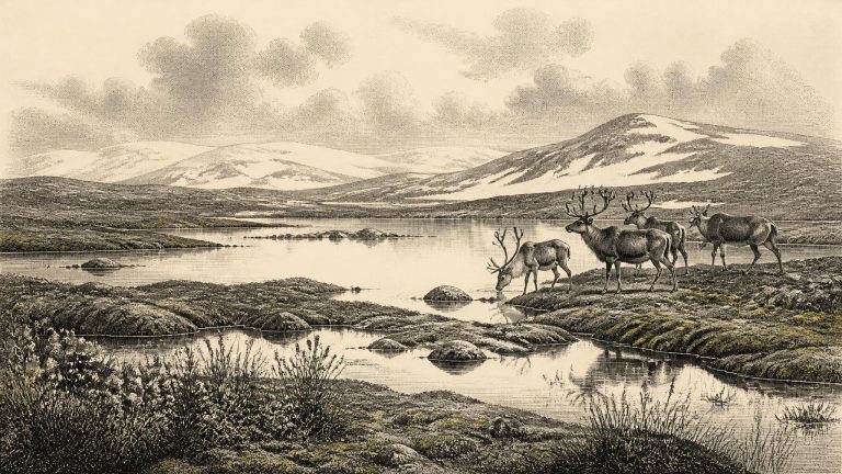
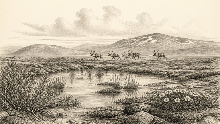
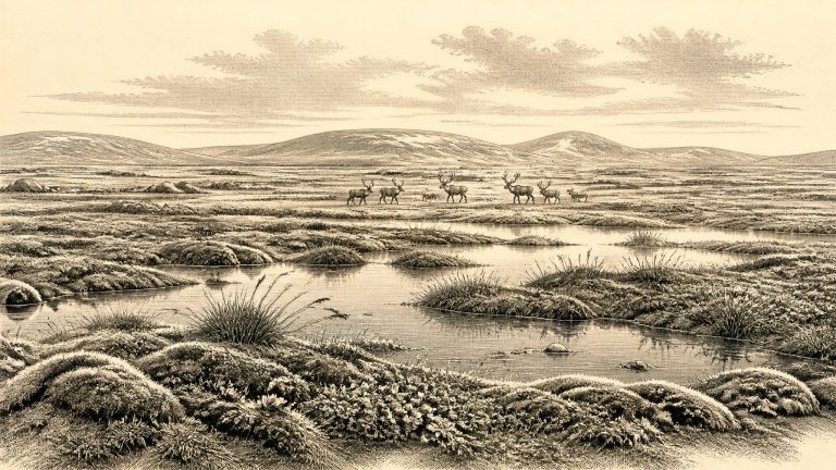
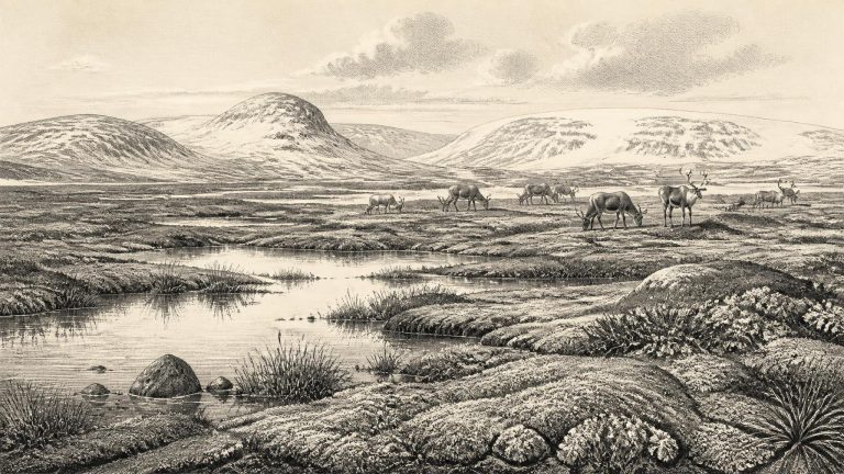
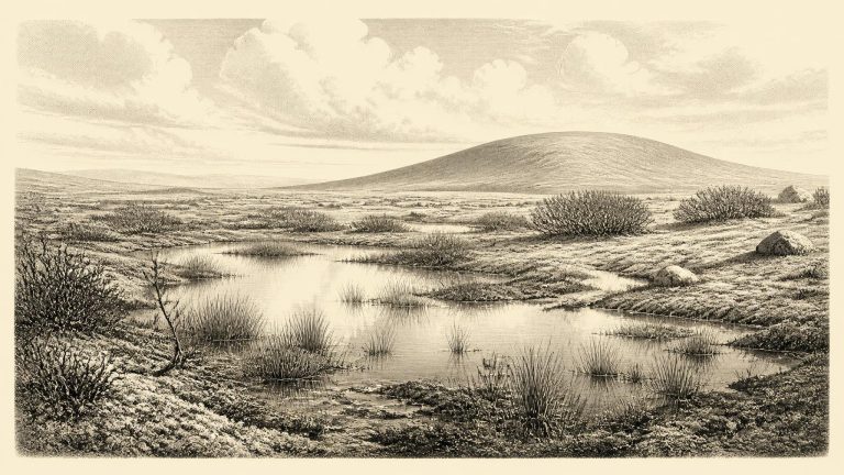
Derryvree offers evidence for local environmental conditions, not a map of every part of Ireland. Yet it decisively complicates the familiar image of an island continuously buried beneath ice throughout the Ice Age. At some stage within its dated range, north-central Ireland contained an exposed basin in which freshwater sediment and plant remains could build up. The fossil assemblage has been interpreted as a treeless muskeg or wet tundra: a cold, waterlogged landscape of shallow pools, sedges, mosses and low-growing plants, shaped by frost, seasonal thaw and poor drainage.
Ireland was not yet at the global Last Glacial Maximum, conventionally dated to about 26,500–19,000 years ago, but the climatic trajectory was already towards greater cold and expanding ice. The British–Irish Ice Sheet was a dynamic system, not a single fixed white blanket. Geological research indicates substantial Irish ice and major fluctuations before the Last Glacial Maximum, while continent-wide reconstructions show a general phase of ice-sheet growth from roughly 31,000 to 26,000 years ago. Consequently, no map can safely colour all of Ireland either wholly ice-covered or wholly ice-free for a point such as 30,814 BCE. Conditions differed sharply between regions and changed over spans far shorter than the duration of the glacial period.
Radiocarbon dates are especially important, and especially easy to misunderstand, at this depth in time. A conventional radiocarbon determination measures residual carbon-14 in once-living material; it is not itself a calendar date. Conversion to calendar years requires calibration, and the uncertainty of both the original sample and the calibration curve becomes substantial tens of millennia ago. The year 30,815 BCE should thus be treated as a point within a broad late-MIS-3 interval, not as the date of a particular winter, hunt or glacial advance.
Ireland was neither the familiar green island of later history nor necessarily a single, uniformly frozen landmass. The climate oscillated sharply over centuries and millennia. Ice sheets advanced and withdrew; permafrost and severe seasonal frost affected exposed ground; and the shape of coasts, river valleys and lakes differed greatly from today. The maximum expansion of the last British–Irish Ice Sheet came later, principally after about 28,000 calendar years BP. Around the date represented here, evidence instead points to a changing mosaic of ice-covered areas, periglacial ground and locally ice-free terrain.
The most informative Irish site close to this date lies at Derryvree, near Maguiresbridge in County Fermanagh. Road works in 1969 cut through a drumlin and exposed a remarkable sequence: glacial till below, then fine sands, freshwater organic muds and silts, followed by proglacial sediment and another cover of till. Till is the unsorted mixture of clay, stones and other debris laid down directly by glacier ice. The order of these layers establishes a local sequence beyond reasonable doubt. Ice had covered the ground; a non-glacial interval followed in which water and organic material accumulated; then renewed ice or ice-proximal processes buried that living surface.
Organic material from Derryvree produced the radiocarbon determination BIRM-166, conventionally dated to about 30,500 radiocarbon years before present, with a substantial uncertainty. Radiocarbon years cannot simply be converted into calendar years: atmospheric carbon levels have varied over time, so results need calibration against independently constructed curves. Published calibrations place the Derryvree material broadly between about 36,900 and 31,700 calibrated years before present, approximately 34,950–29,750 BCE. The year considered here lies inside that wide range, but this does not mean that BIRM-166 identifies conditions in 30,818 BCE exactly.
Radiocarbon ages are not calendar ages. The amount of radioactive carbon in the atmosphere has changed over time, so a laboratory result must be calibrated against independently dated records. At more than 30,000 years ago, calibration produces wide ranges, not year-level precision. The classic Irish reference point is Derryvree, near Maguiresbridge in County Fermanagh. Roadworks in 1969 cut through a drumlin and revealed freshwater silts, sands and organic layers between two tills: unsorted sediments laid down by glacier ice. Organic material from the intervening deposits produced a conventional radiocarbon age of 30,500 +1,170/-1,030 radiocarbon years BP.
The structure of the Derryvree sequence is its most decisive evidence. A lower till shows that glacier ice had previously occupied the locality. Above it accumulated freshwater mud, silt and sand, together with organic remains. An upper till and associated sands later sealed this small landscape beneath another glacial episode. The sequence proves an interval in which ice no longer overrode that part of Fermanagh and standing or sluggish fresh water could exist. It does not prove that all Ireland was ice-free at once. Conditions on an upland, an Atlantic coast, a lowland basin and the Irish Sea margin could differ sharply, while later ice erosion has removed much of the earlier record.
MIS 3 was not a single unchanging Ice Age landscape. Across the North Atlantic, Greenland ice cores record abrupt swings between colder stadials and relatively milder interstadials. Ireland lay at the western edge of that unstable climatic world. Conditions around the notional date were cold, generally treeless and highly seasonal, but this does not mean that the entire island was a featureless sheet of ice. The evidence instead indicates shifting mosaics: glacier ice and ice-marginal ground in some regions, exposed terrain in others, and, at times, wetlands and freshwater pools capable of sustaining plants, insects and animals.
Radiocarbon dating is essential here, but it does not produce an exact BCE year. A radiocarbon measurement records remaining carbon-14 in a once-living sample; it must then be calibrated because atmospheric carbon-14 levels have changed over time. At more than 30,000 years ago, both laboratory uncertainty and the shape of the calibration curve can translate one result into a wide calendar interval. Consequently, a date such as 30,822 BCE should be used only as a point of orientation within a span of centuries or millennia, not as the date of a hunt, a journey, a seasonal camp or an environmental change.
Derryvree was exposed during road works in 1969, when a cutting passed through a drumlin about two kilometres north-east of Maguiresbridge. Beneath the familiar rounded hill was an unusually revealing sequence: a lower sheet of till, freshwater silts and fine sands with organic muds, and an upper sheet of till. Till is the unsorted mixture of clay, stones and other debris laid down by glacier ice. The order of the layers is secure. Ice had occupied the locality; later, fresh water, plants and sediment accumulated in an ice-free interval; then a subsequent glacial advance buried and protected the wetland record.
Derryvree’s organic sediment, recorded as BIRM-166, produced a conventional radiocarbon age of 30,500 ± 1,100 years before present. “Before present” in this system means before AD 1950, not before 30,824 BCE. Radiocarbon years must also be calibrated because atmospheric carbon levels have changed through time. Recent chronological modelling has placed the Derryvree evidence at about 33.5 ± 1.2 thousand calibrated years before present, while wider calibration treatments give a broad range rather than a single point. The year 30,824 BCE is therefore best understood as falling within the general chronological neighbourhood of this record, not as the date of one identifiable season, pool, animal death or human visit.
Modern BCE notation can imply a precision that the evidence does not possess. Radiocarbon laboratories report ages in years before present, conventionally before AD 1950, and such measurements must be calibrated because atmospheric carbon levels have varied over time. The Derryvree organic sediments produced the important conventional determination BIRM-166, 30,500 radiocarbon years BP, with a substantial uncertainty of +1,170 and −1,030 years. Modern calibration places that evidence broadly within roughly 36,900–31,700 calibrated years BP, rather than at one fixed calendar point.