Archive: Ireland Year by Year

30860–30851 BCE

Derryvree’s Calibrated Wetland

Derryvree’s Calibrated Wetland

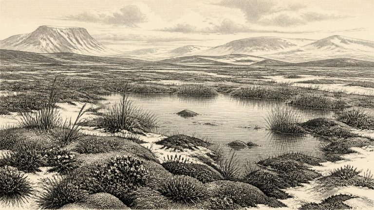
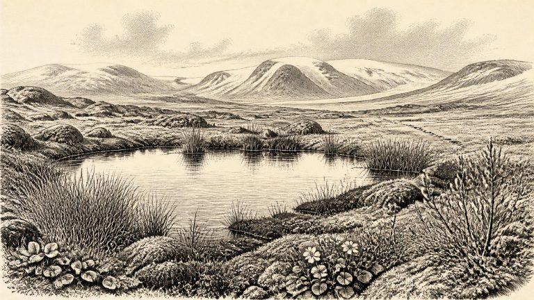
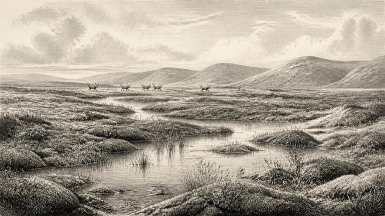
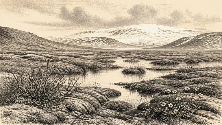
Material from Derryvree gave the radiocarbon determination BIRM-166: 30,500 radiocarbon years before present, with a substantial error range of +1,170 and −1,030 years. Radiocarbon years are not identical to calendar years, because atmospheric carbon-14 levels have changed over time. Calibration against the IntCal20 curve is essential, yet it cannot transform one old measurement into an exact historic date. Published discussion places the Derryvree horizon broadly at about 36,900–31,700 calibrated years before present, approximately 34,950–29,750 BCE. The nominal year 30,856 BCE lies within that broad span, but cannot be assigned to a particular layer in the silt, a season at the pool, or a moment in the life of any animal.

Maguirebridge’s Fossil Mosses

Maguirebridge’s Fossil Mosses

Roadworks in 1969 exposed a section through the Derryvree drumlin. Beneath an upper glacial till lay fine sands, silts and organic deposits; below them was another till. The sequence establishes a clear order. Ice had affected the locality, then a freshwater and wetland environment formed, and later ice advanced or reworked the ground again. Organic material from the intervening deposit returned a conventional radiocarbon age of 30,500 years BP, with a large uncertainty of +1,170/−1,030 years. Modern calibration places it broadly at about 36,900–31,700 calibrated years BP.

Castlepook’s Reindeer Enigma

Castlepook’s Reindeer Enigma

Radiocarbon ages, calendar ages and BCE dates are not interchangeable. A radiocarbon measurement estimates the remaining carbon-14 in organic material; because atmospheric carbon-14 has varied, that result must be calibrated against internationally constructed curves. At more than 30,000 years ago, a laboratory determination commonly translates into a wide calendar range, not a single date. Stratigraphy adds another kind of evidence: it establishes that one deposit lay before or after another, but rarely supplies a precise calendar year.

Maguirebridge’s Tundra Basin

Maguirebridge’s Tundra Basin

The closest Irish environmental archive is at Derryvree, near Maguiresbridge in County Fermanagh. Road works in 1969 exposed freshwater silts and fine sands sealed between two glacial tills within a drumlin. This sequence is valuable precisely because it survived between deposits laid down by ice. A radiocarbon measurement from the organic material gave 30,500 ± 1,170/1,030 radiocarbon years BP. Such a result cannot be converted honestly into one BCE year: radiocarbon ages must be calibrated, the uncertainty is substantial, and the sediment accumulated over time rather than in a moment.

Derryvree’s Intertill Record

Derryvree’s Intertill Record

For this remote period, Ireland’s history is principally environmental history. The archive consists not of chronicles, houses, graves or named communities, but of silts, sands, pollen, plant fragments, animal bones, cave deposits and the landforms created or altered by ice. Later glaciers erased, reworked or buried much of the earlier evidence. The absence of an archaeological site is therefore not proof that no human being ever entered Ireland; it is, however, decisive against writing a story of an identifiable population, camp or culture here in 30,860 BCE. There is no securely dated lithic assemblage, hearth, human bone, dwelling, artwork or burial that demonstrates a human presence in Ireland at this time.

30870–30861 BCE

Bogbean Under Drumlin Ice

Bogbean Under Drumlin Ice

At Derryvree, roadworks exposed organic freshwater silts and fine sands enclosed between two bodies of till: unsorted debris deposited directly or indirectly by glacier ice. The sequence provides a powerful relative history. Ice had first occupied the locality and left a lower till. Later, water, vegetation and small animals accumulated organic sediment in ground that was not then under glacier ice. A renewed advance eventually buried that freshwater deposit beneath an upper till.

Derryvree’s Permafrost Herbarium

Derryvree’s Permafrost Herbarium

In 1969, road works cut through the drumlin at Derryvree and revealed silts and fine sands containing organic material between two distinct sheets of glacial till. The sandwiching tills are crucial: they show that a freshwater environment existed at this spot between phases of glacier activity. A conventional radiocarbon determination from the organic deposit was 30,500 radiocarbon years BP, with a substantial uncertainty of +1,170 and −1,030 years. It is a measurement of an ancient sample, not a timestamp for a single episode.

Fermanagh’s Trifoliate Flora

Fermanagh’s Trifoliate Flora

The closest major Irish palaeoenvironmental evidence comes from Derryvree, near Maguiresbridge in County Fermanagh. Road construction in 1969 cut through a drumlin and revealed freshwater silts and fine sands sealed between two layers of glacial till. Till is the unsorted debris left directly by moving ice. The order of deposits matters: an earlier glacier laid down the lower till; freshwater sediments accumulated during a subsequent local ice-free interval; and ice later returned, depositing the upper till. Derryvree is not a record of one day, one year or the whole island. It is, however, unusually valuable evidence that conditions in this part of Fermanagh changed sharply during the late Ice Age.

Derryvree’s Juniper Waters

Derryvree’s Juniper Waters

Derryvree is important because roadworks in 1969 exposed a rare sequence through a drumlin. A lower layer of till, the unsorted sediment left by glacier ice, was overlain by fine sands and organic silts, themselves sealed beneath a later till. This order matters. It demonstrates that a freshwater environment formed after one ice advance and before another, preserving a short geological window later concealed by ice and sediment. The organic material produced a conventional radiocarbon age of 30,500 years BP, with a substantial laboratory uncertainty. Modern calibration turns that single measurement into a wide date range rather than a neat historical timestamp.

Castlepook’s Reindeer Signal

Castlepook’s Reindeer Signal

It would be misleading to attach a specific occurrence to 30,865 BCE. The island’s archaeological record has been heavily altered by later ice movement, erosion, changing sea levels and the destructive methods of some early cave excavations. Much of what survives consists of deposits accumulated over centuries or millennia, subsequently displaced or mixed. A bone can date the death of an animal; it cannot by itself date the instant it entered a cave, identify the season of death, or prove that people were present at the time.

Castlepook’s Iceward Herds

Castlepook’s Iceward Herds

At this time Ireland was neither the familiar green island of later prehistory nor necessarily a single, uniform ice sheet. The wider North Atlantic climate swung sharply between colder stadials and comparatively milder interstadials. Ice had already formed and advanced in parts of the British–Irish region, but the timing, thickness and exact limits of ice across Ireland during Marine Isotope Stage 3 remain debated. Recent syntheses stress that ice-sheet growth and retreat were dynamic, uneven and not identical in every district. The later maximum, generally placed broadly between about 27,000 and 21,000 years ago, lay ahead.

Maguirebridge’s Two-Till Wetland

Maguirebridge’s Two-Till Wetland

Derryvree matters because it refutes any simple picture of Ireland as either continuously glaciated or continuously open during this remote period. Its stratigraphy is direct evidence that, at one point during the dated interval, ground in Fermanagh lay free from overriding glacier ice long enough for freshwater sediment and organic matter to accumulate. It does not prove that all of Ireland was ice-free at the same time. Nor does it establish a uniform climate across the island. It documents a local environmental window in a landscape repeatedly transformed by ice.

Derryvree’s Alternate Water-Milfoil

Derryvree’s Alternate Water-Milfoil

Derryvree was exposed in roadworks in 1969. The section contained silts and fine sands with organic material between two thick tills: sediments laid down directly by glacier ice. That order is crucial evidence. It establishes that glaciation occurred, that a freshwater environment subsequently existed at the site, and that ice later returned to cover and preserve the deposit. It does not mean that all Ireland was ice-free at once, nor that the Fermanagh basin was a stable refuge for millennia.

Doneraile’s Incised Reindeer

Doneraile’s Incised Reindeer

The closest Irish chronological anchor is the Derryvree freshwater sequence near Maguiresbridge, County Fermanagh. Road works in 1969 cut through a drumlin and revealed silts and fine sands rich in organic material, enclosed between two distinct tills: unsorted debris left by moving glacier ice. Its order is secure. Ice deposited the lower till; an interval without glacier cover at that locality allowed freshwater sediments, plants and insects to accumulate; then a later ice advance laid down the upper till and sealed the deposit.

Hollymount’s Freshwater Interval

Hollymount’s Freshwater Interval

The best Irish evidence close to this period comes from Derryvree, near Maguiresbridge in County Fermanagh, and from the nearby Hollymount sequence. Roadworks exposed a drumlin containing freshwater silts and fine sands enclosed between two thick, distinct layers of till: the unsorted debris deposited by glacier ice. The basic order is secure. Ice had occupied the locality and left the lower till; a later non-glacial interval allowed waterborne sediment and organic remains to build up; then renewed ice advance buried the deposit beneath upper till. That is an unusually valuable record of environmental change, even if it is not a diary of events.

30880–30871 BCE

Derryvree’s Arctic Poollife

Derryvree’s Arctic Poollife

Derryvree was exposed in 1969 when roadworks cut through a drumlin, one of the streamlined hills formed beneath glacier ice. The section revealed a striking sequence: an older till, laid down by ice; freshwater silts, fine sands and organic-rich beds; then a younger till from a subsequent advance. The order of these layers is the secure result. It shows that ice had crossed the locality, that a period without glacier cover at that spot then allowed standing or slow-moving fresh water and organic matter to accumulate, and that later ice buried the archive. The deposits are not the remains of a village or camp. They are a small but unusually valuable window onto a landscape that subsequent glaciation mostly erased.

BIRM-166’s Organic Interlude

BIRM-166’s Organic Interlude

The closest important chronological anchor is BIRM-166, a radiocarbon determination from organic sediments found at Derryvree, near Maguiresbridge in County Fermanagh. Roadworks in 1969 cut through a drumlin and exposed freshwater silts and fine sands trapped between two distinct sheets of glacial till. The original result was 30,500 radiocarbon years before present, with a substantial laboratory uncertainty. “Before present” conventionally means before 1950, not before the present calendar year. Because atmospheric carbon-14 has varied through time, such results must be calibrated rather than read as calendar dates.

Derryvree’s Tundra Testament

Derryvree’s Tundra Testament

Derryvree’s sequence is important because its order is unambiguous even where its dates are broad. A glacier deposited the lower till; an interval without local overriding ice allowed freshwater sediments and organic remains to accumulate; then a later glacier covered the deposit with a second till. The record therefore proves that part of Fermanagh was ice-free long enough for standing or slow-moving freshwater and tundra vegetation to develop before a renewed advance transformed the landscape again.

Derryvree’s Silt Lens

Derryvree’s Silt Lens

Ireland was neither the familiar green island of later history nor necessarily a single unbroken white ice sheet. The climate was severe, seasonal and changeable. Ice had repeatedly advanced and retreated in the wider region, while local landscapes could differ greatly according to altitude, exposure, drainage and proximity to ice margins. The much more extensive Last Glacial Maximum lay ahead, conventionally placed broadly between about 27,000 and 20,000 years ago, although the growth and behaviour of Irish and British ice sectors remain subjects of active reconstruction.

Derryvree’s Middle Midlandian Pool

Derryvree’s Middle Midlandian Pool

This was part of Marine Isotope Stage 3, a fluctuating phase of the last Ice Age. Northern Atlantic climate did not simply decline steadily into the Last Glacial Maximum. Greenland ice-core records show abrupt alternations between relatively milder interstadials and severe stadials on millennial timescales. On the wider North Atlantic chronological framework, 30,875 BCE falls broadly within Greenland Stadial 6, a cold episode before the later Greenland Interstadial 5.1. That does not mean every Irish valley experienced precisely the same weather recorded in Greenland; it provides a regional climate context, not a local forecast.

The Fermanagh Silt Interval

The Fermanagh Silt Interval

The closest important Irish environmental record is at Derryvree, near Maguiresbridge in County Fermanagh. Road-cutting through a drumlin in 1969 exposed an exceptional sequence: an older glacial till, freshwater silts and fine sands with organic material, and a later till above them. Till is sediment laid down directly by glacier ice. The sequence demonstrates that ice occupied the site, that an ice-free interval then allowed freshwater and organic deposits to accumulate, and that ice later returned.

Elephant Hall’s Reindeer World

Elephant Hall’s Reindeer World

Ireland lay within Marine Isotope Stage 3, a long, climatically unstable part of the Late Pleistocene. It was not yet the familiar wooded and maritime island of later prehistory. Nor should it be pictured simply as an unbroken white ice cap. The Last Glacial Maximum, when the British–Irish Ice Sheet covered Ireland and extended across much of its continental shelf, came later, broadly around 27,000–23,000 cal BP. Before that maximum, ice sheets repeatedly grew, shifted and retreated; their margins and thickness varied greatly by region.

Maguirebridge’s Lost Pond

Maguirebridge’s Lost Pond

The closest Irish environmental evidence comes from Derryvree, near Maguiresbridge in County Fermanagh. Roadworks in 1969 cut through a drumlin and exposed a remarkable sequence: organic freshwater silts and fine sands lying between two thick sheets of till, the unsorted debris left by glacier ice. The order of the deposits is secure. Ice had occupied the locality; then a period without local glacier cover permitted water, plants and sediment to accumulate; later ice advanced again and sealed the wetland beneath a second till.

Castlepook’s Hyena Cache

Castlepook’s Hyena Cache

The closest especially informative Irish environmental evidence comes from Derryvree near Maguiresbridge, County Fermanagh. Road works there exposed fine sands, silts and organic material trapped between two tills: deposits left by ice before and after a period when the locality was not ice-covered. The original radiocarbon determination from the organic layer was 30,500 ± 1,100 radiocarbon years BP. That is not equivalent to a calendar date, and recalibration produces a broader, older calendar range rather than a precise historical moment. It nevertheless places the deposit broadly in the same middle-to-late Ice Age world as the requested date.

BIRM-166’s Intertill Biota

BIRM-166’s Intertill Biota

30,880 BCE is a modern chronological label, not a year for which Ireland has an annal, a ruler, a settlement record or even an identifiable human generation. In the archaeological convention that counts backwards from AD 1950, it lies about 32,830 calendar years before present. That places it in the Late Pleistocene, within Marine Isotope Stage 3 (MIS 3), conventionally dated to roughly 57,000–29,000 calendar years ago. At such depth of time, calendar-year precision is not available. Radiocarbon determinations require calibration, carry statistical ranges, and date samples rather than historical events. The responsible subject is therefore Ireland in the broad environmental and archaeological horizon around the early thirty-third millennium before present, not an invented occurrence on a particular day in 30,880 BCE.

30890–30881 BCE

The Doneraile Butchery Claim

The Doneraile Butchery Claim

The most important environmental record close to this notional date comes from Derryvree, near Maguiresbridge in County Fermanagh. Roadworks exposed a remarkable sequence within a drumlin: organic freshwater silts and fine sands lying between two layers of till, the unsorted debris deposited by moving glacier ice. The arrangement establishes a relative sequence. Ice affected the locality; an interval followed in which freshwater sediment and organic matter accumulated; and glacier ice later returned or advanced over the site.

Doneraile’s Cutmark Question

Doneraile’s Cutmark Question

Ireland at this time was not the green, wooded island familiar from later prehistory. The climate was generally cold, and vegetation was likely open and patchy: grasses, sedges, herbs, mosses and low shrubs could occupy favourable ground, while frost, wind and seasonal snow restricted tree growth. Yet this was not necessarily a single, uniform frozen wilderness. Greenland ice-core records show abrupt climatic swings during MIS 3, and the Irish evidence suggests that habitats and ice margins changed markedly over relatively short geological intervals. A precise map for 30,882 BCE cannot be drawn. What can be said is that Ireland lay in a northern Atlantic world increasingly affected by cold conditions and the developing British–Irish Ice Sheet.

Derryvree’s Intertill Biota

Derryvree’s Intertill Biota

Derryvree was exposed accidentally during road works in February and March 1969, when a cutting passed through a drumlin. Beneath the familiar streamlined hill lay a remarkable sequence: freshwater silts and fine sands, including organic mud, caught between two substantial layers of glacial till. The stratigraphy is the fundamental evidence. Ice had previously deposited the lower till; subsequently, at least this locality was free of glacier ice long enough for water, sediment, plants and small creatures to accumulate; later ice advanced again and sealed the deposit under a second till.

Derryvree’s Mossbound Waters

Derryvree’s Mossbound Waters

Radiocarbon years are not calendar years. The principal environmental deposit relevant to this article, at Derryvree near Maguiresbridge in County Fermanagh, produced a conventional radiocarbon result of about 30,500 ± 1,100 radiocarbon years BP. Calibration places that evidence broadly between about 36,900 and 31,700 calibrated years BP. Thus 30,884 BCE lies within the wider calibrated span associated with the deposit, but it cannot identify a particular season, pool, plant or animal living there in that precise modern year. IntCal20, the current Northern Hemisphere calibration framework, allows such old measurements to be translated into probability ranges; it does not convert them into annual historical dates.

Cork’s Reindeer Butchery Question

Cork’s Reindeer Butchery Question

The nearest important Irish radiocarbon determination is from Derryvree. Organic freshwater sediments there produced a conventional age of about 30,500 radiocarbon years before present, with a substantial uncertainty. Calibration converts such measurements into calendar ages, but not into a single recoverable moment: published discussion places the deposit broadly at about 36,900–31,700 calibrated years before present. This wide range encompasses the period represented by 30,885 BCE, but does not demonstrate that the visible plants, insects or waters existed in that precise numbered year.