Membership is completely free, giving members unlimited access to all available resources, services, features, and benefits without any restrictions or fees.
Welcome back. Sign in to continue enjoying unlimited access to all available resources, services, features, and member benefits at no cost.
Ireland at this point lay in the long descent towards the Last Glacial Maximum, when ice would later cover much of the island. That maximum lay in the future: the most extensive phase of the last Irish Ice Sheet is generally placed between about 26,000 and 20,000 years ago. Around 30,826 BCE, however, conditions were neither uniformly frozen nor stable. MIS 3 was marked by abrupt climatic shifts, with relatively milder interstadial episodes interrupted by severe cold phases. Ireland’s landscape changed with them.
Ireland was entering a severe phase of the last glacial cycle, but it had not yet reached the Last Glacial Maximum. The fullest extent of the British–Irish Ice Sheet came later, broadly between about 27,000 and 23,000 calibrated years before present. Around the notional date used here, ice margins, local glaciers, permafrost and open ground probably varied greatly between regions and over comparatively short spans of time. It is misleading to picture one uniform white blanket covering the whole island, yet equally misleading to imagine a familiar green Ireland. This was an unstable northern landscape in which advancing ice, freezing ground, sparse vegetation and exposed sediment could rapidly alter the possibilities for plants, animals and any human visitors.
It is important not to convert a BCE label mechanically into an archaeological event. Radiocarbon determinations are commonly reported in radiocarbon years before present (BP), where “present” is AD 1950; they must then be calibrated against changing atmospheric carbon levels to estimate calendar ages. The resulting ranges can be broad, especially at this age. A date from an animal bone establishes when the animal died, within stated uncertainty; it does not automatically date a scratch on that bone, prove human contact, or establish the date of a cave deposit containing it.
“30,829 BCE” is a useful modern label for positioning a page in deep time, but it was not a year that anyone in Ireland could have named, recorded or experienced as a bounded interval. No written calendar, settlement sequence or archaeological deposit permits a historical narrative at that level of precision. This point falls broadly in the Late Pleistocene, during Marine Isotope Stage 3 (MIS 3), within the last Ice Age and long before the fullest expansion of the last British–Irish Ice Sheet. The responsible approach is therefore to describe a range of conditions and evidence relevant to roughly the mid-30,000s to low-30,000s calibrated years before present, rather than to invent an event for a single numbered year.
At this depth of time, the distinction between radiocarbon years and calendar years is essential. Radiocarbon dates measure the remaining carbon-14 in once-living material; because atmospheric carbon-14 has varied, laboratory results must be calibrated against independently dated records. IntCal20, the current Northern Hemisphere calibration curve, extends to 55,000 calibrated years before present, but uncertainty becomes substantial in this remote period. A date such as 30,830 BCE should therefore be treated as a modern filing label, not as an ancient date known to its inhabitants.
The closest exceptionally informative Irish record is Derryvree, near Maguiresbridge in County Fermanagh. Road works there in 1969 exposed fine sands, freshwater silts and organic layers enclosed between two tills: unsorted debris laid down directly by glacier ice. This stratigraphy provides secure relative evidence. Ice had covered the locality; a period then followed in which water, vegetation and organic sediment accumulated; later ice advanced again and sealed the deposit beneath a second till. It is an environmental archive, not an archaeological settlement layer.
Derryvree is important because a road cutting through a drumlin exposed fine sands, freshwater silts and organic layers trapped between two thick tills. Till is the unsorted debris deposited by glacier ice. The stratigraphy establishes a sequence: glacial ice had affected the locality; an interval followed in which freshwater and organic sediments accumulated; then later ice overrode or approached the area sufficiently to leave the upper till. It is powerful evidence against a simplistic picture of Ireland as continuously buried beneath ice throughout the last cold stage.
Radiocarbon determinations of this age cannot simply be converted into calendar years. Atmospheric carbon-14 varied markedly in the Pleistocene, and modern calibration curves produce probability ranges rather than exact dates. The distinction matters. A radiocarbon age measures residual carbon-14 in once-living material; a calibrated age estimates where that measurement sits in calendar time. Neither can identify what happened in Ireland in the notional year 30,833 BCE.
The Derryvree organic bed produced a conventional radiocarbon determination of about 30,500 ± 1,200 radiocarbon years BP. Such a measurement cannot be equated directly with either a BCE year or an exact number of calendar years ago: atmospheric carbon-14 has varied through time, and uncertainty grows towards the practical limit of radiocarbon dating. Published calibration places the deposit broadly at about 36,900–31,700 calibrated years BP, approximately 34,950–29,750 BCE. The notional year 30,834 BCE falls within that wide range, but neither begins nor ends it, and cannot be tied to a particular layer, animal, plant or human action.
During roadworks in 1969, an exposure cut through a drumlin at Derryvree. Beneath the rounded glacial landform lay two thick sheets of till, the unsorted sediment deposited by moving glacier ice. Between them were freshwater silts, fine sands and organic muds. The sequence is crucial: an earlier glacial episode had laid down till; a period followed in which standing or slow-moving fresh water, vegetation and organic matter accumulated; later ice buried the deposit beneath another till sheet.
Ireland lay on the far north-western edge of Europe, exposed to repeated and sometimes abrupt shifts in climate, sea level and ice extent. The last British–Irish Ice Sheet was growing during the wider period around 31,000 years ago, but its advance was neither a single event nor geographically uniform. Modern reconstructions show that the ice sheet expanded rapidly towards the continental shelf edge in some sectors around 30,000 years ago. That does not license a simple picture of an island entirely sealed under ice in every locality at exactly 30,836 BCE. Ireland’s glacial history was regionally varied, and evidence from northern inland sediments demonstrates that at least some areas had previously experienced ice-free or less heavily glaciated intervals.
This point falls in the Late Pleistocene, during Marine Isotope Stage 3 (MIS 3), a lengthy and climatically unstable portion of the last Ice Age. Across the North Atlantic world, relatively milder interstadials alternated abruptly with colder stadials. Ireland was not uniformly entombed beneath an ice sheet throughout the whole period, nor was it a stable, welcoming landscape. Conditions changed substantially between regions and through time. The later Last Glacial Maximum, when the Irish Ice Sheet expanded to far greater extent, still lay ahead.
The strongest evidence for conditions in or near this period comes from Derryvree, beside Maguiresbridge in County Fermanagh. Road works in 1969 cut through a drumlin and revealed organic freshwater silts and fine sands trapped between two thick tills: deposits left by ice before and after the wetland existed. Organic material from the layer produced the conventional radiocarbon result Birm-166, 30,500 years BP, with a large uncertainty of +1,170/−1,030 years. Later work has expressed the possible calibrated age span broadly as c. 36,900–31,700 cal BP. The modern label 30,838 BCE falls within that range, but it is not possible to say that the Derryvree sediments accumulated in that particular calendar year.
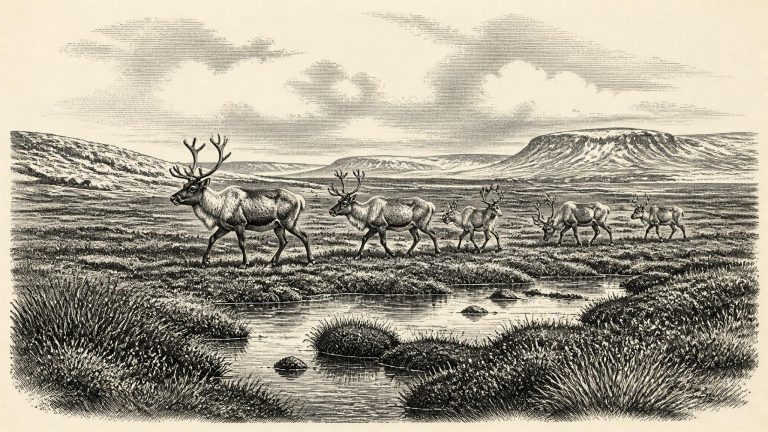
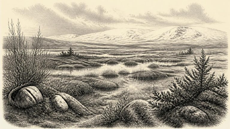
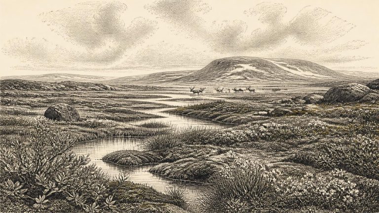
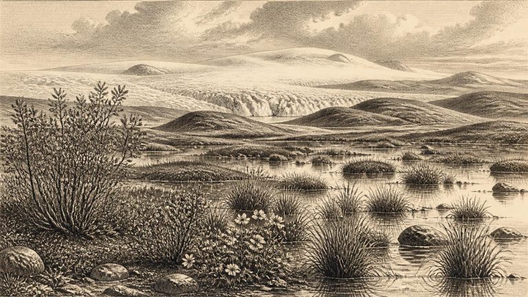
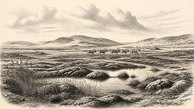
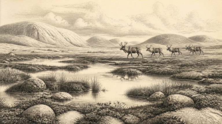
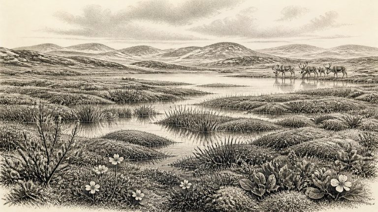
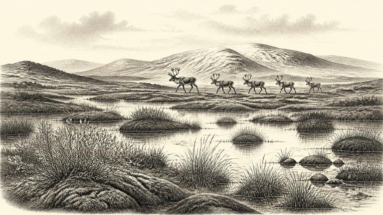
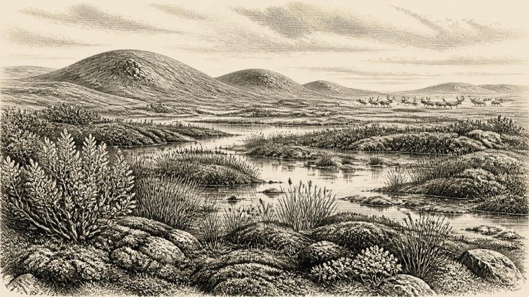
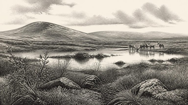
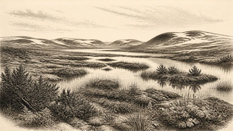
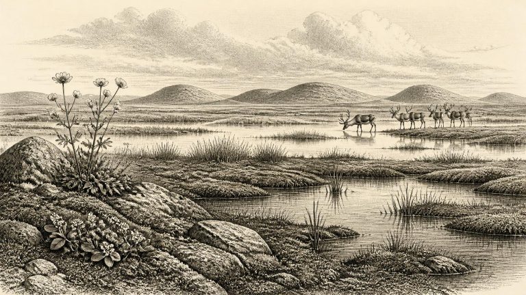
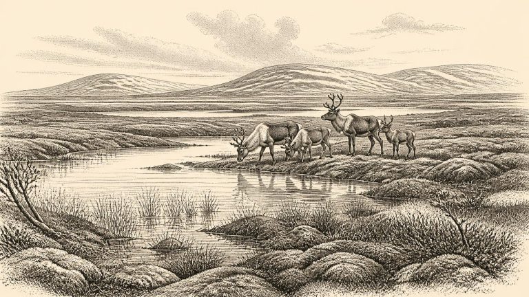
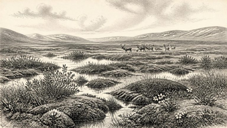
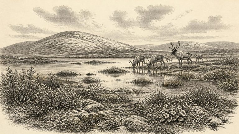
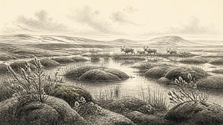
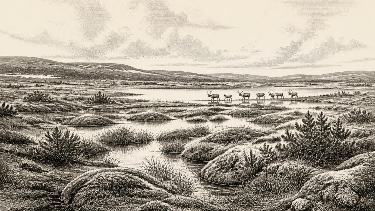
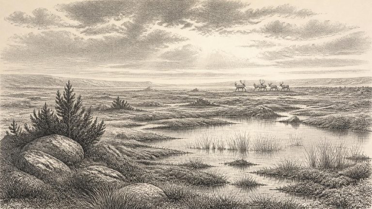
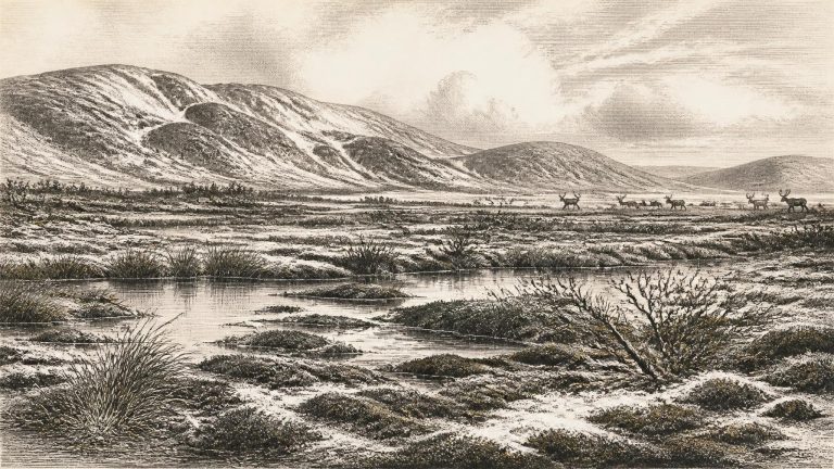
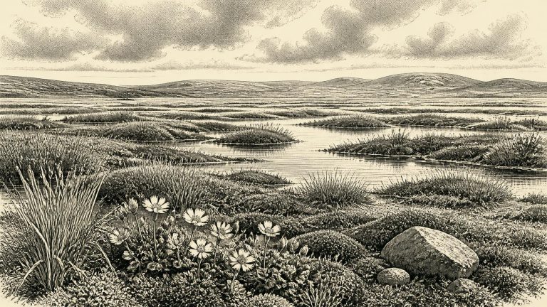
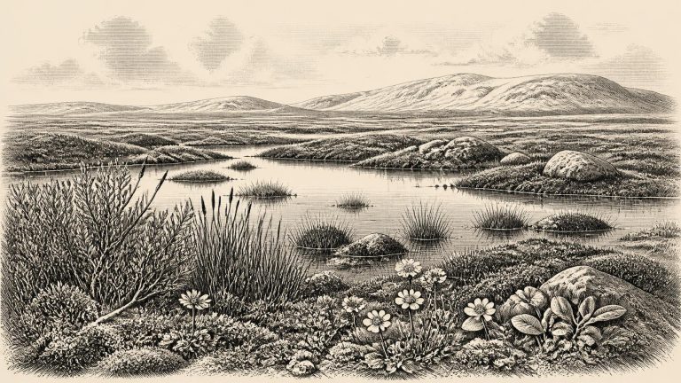
Derryvree was not an Irish landscape of forests, fields or villages. The evidence indicates a periglacial setting: terrain shaped by severe cold, frost action and seasonally frozen ground, but not continuously smothered by glacier ice. Fresh water nevertheless existed locally. Fine sediment settled in a pool or sluggish watercourse, while wet ground developed at its margins. This was a small environmental refuge in a wider, difficult landscape, not proof that all of Ireland was similarly ice-free or hospitable.
“30,840 BCE” is a modern way of placing a point in very deep time, not a year that anyone then living in Ireland could have named or recorded. No written evidence, dated settlement layer or historical event permits calendar-year precision. In radiocarbon terms the label lies roughly 32,790 years before AD 1950, but a radiocarbon measurement is not itself a calendar age: it must be calibrated, and at this depth in time the resulting ranges are broad. The responsible picture is therefore of Ireland during the Late Pleistocene, in Marine Isotope Stage 3, rather than of a particular day, season or generation.
The best Irish chronological anchor is the freshwater deposit exposed at Derryvree, near Maguiresbridge in County Fermanagh. Organic material in silts and fine sands between two layers of glacial till produced a conventional radiocarbon age of about 30,500 years BP, with a large uncertainty. Later scholarship places this deposit broadly between about 36,900 and 31,700 calibrated years BP: approximately 34,950 to 29,750 BCE. The modern label 30,841 BCE therefore lies within that range, but cannot be pinpointed within it. It is sound to say that the Derryvree evidence illuminates conditions around this notional date; it is not sound to say that its pool, plants or animals existed in that specific year.
The principal Fermanagh evidence was exposed during road works in 1969, when a cut through a drumlin at Derryvree revealed freshwater silts and fine sands between two distinct sheets of till: unsorted sediment deposited by glacier ice. Organic material from the intervening deposits produced a conventional radiocarbon determination of 30,500 years BP, with an uncertainty of approximately a thousand radiocarbon years. That measurement cannot be converted honestly into one precise BCE date. Radiocarbon years and calendar years differ because atmospheric carbon levels have varied; calibration produces probability ranges, not a single historical timestamp.
The single most useful Irish environmental record for this nominal date lies at Derryvree, near Maguiresbridge in County Fermanagh. Roadworks in 1969 cut through a drumlin and revealed freshwater silts, fine sands and organic layers trapped between two thick tills: unsorted debris deposited by glacier ice. The lower till shows that ice had previously occupied the locality. The organic sediments record an intervening period when standing or slowly moving fresh water and wet ground existed there. The upper till demonstrates that ice later returned or expanded over the site. This is a sequence of major environmental change, not a frozen image of one season.
The numbered date falls well before the peak of the Last Glacial Maximum. Reconstructions of the British–Irish Ice Sheet place its maximum extent considerably later, broadly during the period around 26,000–19,000 years ago, although the timing, thickness and local limits of ice remain subjects of active research. Ireland was therefore not simply an island buried beneath a single unchanging sheet of ice in 30,844 BCE. Conditions varied across regions and through time: ice advanced and retreated, while exposed lowlands, uplands and coastal plains could support cold-adapted plants and animals during less severe intervals.
Organic material from Derryvree produced a conventional radiocarbon determination of 30,500 years BP, with a large laboratory uncertainty. Published discussion converts this broadly to about 31,700–36,900 calibrated years BP, or roughly 29,750–34,950 BCE. The notional date of 30,845 BCE lies within that wide span. Yet the range should not be mistaken for a precise age of every fossil in the deposit, still less for a single season in Irish history. Radiocarbon years and calendar years are not interchangeable: they must be calibrated against changing atmospheric carbon levels, and calibration at this depth carries substantial uncertainty.
This was Marine Isotope Stage 3, a long and climatically volatile part of the last glacial cycle. It preceded the fullest expansion of the Last Glacial Maximum, conventionally dated in this region to later than this horizon. Ireland was not yet the familiar island of modern maps in environmental terms: sea level was lower, coastlines and drainage patterns differed, and ice, permafrost and open ground could all change markedly across relatively short geological intervals. Nor should Ireland be imagined as uniformly covered by permanent ice. The evidence instead points to a landscape in which local ice advances, cold open environments and occasionally ice-free terrain succeeded one another.
Organic material from the Derryvree bed produced a conventional radiocarbon age of about 30,500 radiocarbon years before present, with an uncertainty of around a millennium. Radiocarbon years are not calendar years. Atmospheric carbon-14 has varied through time, so scientists calibrate measurements against independently dated records; at this antiquity, one result commonly converts into a broad, multi-millennial probability range rather than a narrow historical date. Successive improvements to calibration curves can also alter the range.
The label 30,848 BCE should be treated as a point within a broad chronological neighbourhood, not as a fixed historical moment. A central Irish archive, the Derryvree freshwater sequence near Maguiresbridge in County Fermanagh, produced a conventional radiocarbon determination of about 30,500 ± 1,100 radiocarbon years before present. Calibration places that measurement broadly in the later part of MIS 3, but not neatly in a single calendar year; published recalculations and modern calibration curves necessarily yield wide ranges. The Derryvree sediments are therefore directly relevant to the environmental world of this article, while not proving that their plants, insects or waters existed precisely in 30,848 BCE.
The most important Irish evidence relevant to this horizon comes from Derryvree, near Maguiresbridge in County Fermanagh. Road construction in 1969 cut through a drumlin and exposed a remarkable sequence: glacial till below, freshwater silts, fine sands and organic material in the middle, and another till above. Till is unsorted debris deposited by glacier ice. The sequence therefore establishes a relative history with unusual clarity: ice affected the locality; an interval followed in which water, plants and small animals left sediments; then a later ice advance or ice-related deposition buried the record.
Ireland around this broad horizon was neither the familiar green, wooded island of later prehistory nor necessarily a single, uniformly frozen wilderness. The later maximum of the British–Irish Ice Sheet is generally placed after this period, reaching its fullest extent around 27,000 years ago and persisting into the following millennia. Before that maximum, ice margins, sea levels and climates changed repeatedly. Some areas were glaciated at particular times; others supported open ground, freshwater and animal life. Subsequent ice advances eroded or buried much of the evidence, which is a major reason why the Irish record is so fragmentary.
Calendar conversion must not be mistaken for precision. Radiocarbon laboratories conventionally measure ages in years “before present”, where present means AD 1950, but the concentration of atmospheric carbon-14 has changed through time. Results must consequently be calibrated against independently dated records, and the resulting calendar estimates are ranges, not single dates. At more than 30,000 years ago those ranges can be broad. The modern label 30,851 BCE may therefore be used to locate this article in time, but not to assign an animal death, a journey, a hunting episode or an ice advance to a named twelve-month period.
This date falls during a major transformation in north-west Europe. The British–Irish Ice Sheet was building towards its greatest overall volume, reached much later, around 23,000 years before present, while its different sectors advanced and retreated at different times. Reconstructions indicate sustained ice-sheet growth from about 31,000 to 26,000 years ago. Ireland was therefore not uniformly, permanently entombed beneath ice at 30,852 BCE, but it was entering an increasingly severe glacial world in which the extent of ice, exposed ground, coastlines and routes through the Irish Sea changed substantially by region and through time.
The closest securely relevant archive is Derryvree, near Maguiresbridge in County Fermanagh. Road works in 1969 cut through a drumlin and exposed organic silts and fine sands trapped between two distinct layers of glacial till. The material was a freshwater deposit: evidence that, between episodes of ice advance, this part of Fermanagh had supported standing or slow-moving water and vegetation. A radiocarbon determination from the deposit, Birm-166, was reported as 30,500 radiocarbon years BP, with a substantial laboratory uncertainty. When expressed through later calibration, it has been placed broadly at about 36.9–31.7 thousand calibrated years BP. The nominal year 30,853 BCE falls within that range, but cannot be pinned to a particular layer, season or event.
MIS 3 extended broadly from about 57,000 to 29,000 years ago. It was not uniformly frozen. Greenland ice-core records show repeated abrupt shifts between colder stadials and relatively milder interstadials, while the British–Irish Ice Sheet changed in extent and form. At around 32,800 calibrated years before present, the island lay before the fullest later expansion of the last ice sheet, but that does not mean that Ireland was simply ice-free. Conditions varied greatly by region, altitude and time. Some places may have been affected by glacier ice; elsewhere, exposed ground, lakes, streams and wetlands could persist for intervals.
The nearest especially informative Irish environmental record is Derryvree, near Maguiresbridge in County Fermanagh. Road works in 1969 cut through a drumlin and exposed freshwater silts and fine sands lying between glacial deposits. The organic layer produced a conventional radiocarbon determination of 30,500 +1,170/−1,030 radiocarbon years before present. Radiocarbon years are not calendar years: atmospheric carbon has varied through time, so results require calibration against internationally maintained curves. Later summaries place the Derryvree deposit broadly in the later part of MIS 3, approximately c. 37,000–33,000 calibrated years BP depending on calibration method and confidence range.