Membership is completely free, giving members unlimited access to all available resources, services, features, and benefits without any restrictions or fees.
Welcome back. Sign in to continue enjoying unlimited access to all available resources, services, features, and member benefits at no cost.
The distinction between radiocarbon years and calendar years matters especially here. The most important Fermanagh date, laboratory number BIRM-166, was obtained from organic-rich freshwater deposits at Derryvree near Maguiresbridge. It produced an age of 30,500 radiocarbon years before present, with a large quoted uncertainty of roughly a thousand years. Such an age cannot be read straight across as 30,500 calendar years. Calibration using modern curves places comparable late radiocarbon ages broadly in the mid-30,000s cal BP, or calibrated years before AD 1950, rather than in a single precise calendar year.
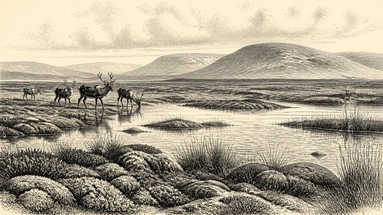
Derryvree is especially valuable because organic deposits are rare survivors in a landscape repeatedly altered by ice. Its plant remains, pollen and insect evidence point to a severe, largely treeless periglacial environment. The term does not mean a featureless frozen desert. It describes country shaped by intense frost, short summers, cold winters and ground conditions close to glacier margins. Fresh water could collect locally in shallow basins even while the wider climate remained harsh.
This was part of the Midlandian glaciation, Ireland’s name for the last glacial cycle. It preceded the fullest expansion of the last British–Irish Ice Sheet, which occurred later, in the broad interval conventionally called the Last Glacial Maximum. Ireland was not a static white wilderness awaiting that maximum. Ice grew, retreated and reorganised across different regions at different times; mountains, lowlands, coasts and the adjoining sea basin could have had sharply different conditions. Recent reconstructions of the British–Irish Ice Sheet begin at 31,000 years before present precisely because older evidence is sparse and uncertain, while showing ice accumulating in northern sectors and advancing through the later part of this cold phase.
There were no written records, rulers, states or historically identifiable communities in Ireland at this time. Modern calendar precision is unavailable. Radiocarbon results are conventionally reported in years “before present”, where present is AD 1950, and must be calibrated against changing atmospheric radiocarbon levels. At more than 30,000 years ago, calibration produces ranges rather than a single secure calendar equivalent. The date used for this article should therefore be read as a convenient point within a long archaeological horizon, not as an anniversary.
At Derryvree, roadworks in 1969 cut through a drumlin and revealed a remarkable sequence: a thick glacial till, then freshwater silts and fine sands containing organic material, followed by another thick till. Till is the unsorted mixture of rock and sediment deposited directly by glacier ice. The sequence establishes an important order of events: ice had affected the area; a period followed in which water, plants and sediment accumulated; and ice later returned or expanded over the site. It does not identify an exact year for any of those changes.
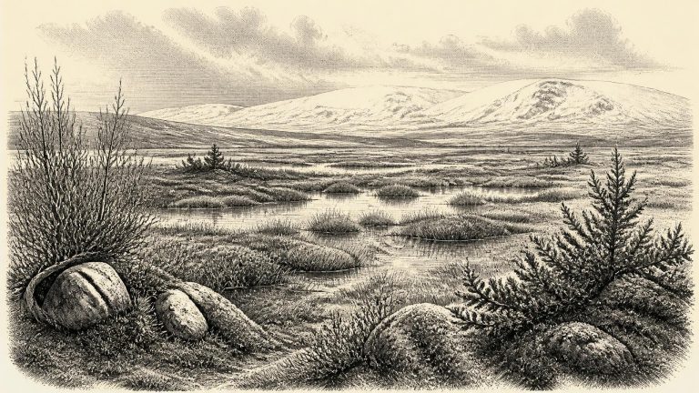
Derryvree is valuable because its organic silts were sealed between two tills: sediments left by advancing ice. Road works revealed a temporary environmental archive that would otherwise have been lost beneath later glacial deposits. Plant macrofossils, pollen, mosses and insect remains indicate open, treeless ground, with wet hollows, sedges, mossy vegetation and shallow freshwater. Bogbean and water-milfoil are among the plants that point to standing or slow-moving water. Juniper, dwarf willow, grasses and herbs belong to a low-growing vegetation cover rather than a wooded landscape.
30,737 BCE is roughly 32,700 years before the conventional 1950 radiocarbon reference year, but this comparison must not be mistaken for an exact correlation. Radiocarbon ages require calibration, and calibration in this period commonly produces ranges rather than a single calendar date. The Derryvree organic deposit has long been associated with a radiocarbon determination of about 30,500 BP. That is an uncalibrated radiocarbon age, not a proof that its plants were growing in the numbered calendar year 30,737 BCE. It nevertheless places the deposit in the same broad middle-to-late MIS 3 world relevant here.
Ireland around this broad interval was part of a markedly colder north-west European world, but it should not be imagined as permanently buried beneath an unbroken sheet of ice. The Last Glacial Maximum lay ahead, with the British–Irish Ice Sheet reaching its greatest overall extent much later, broadly between about 26,000 and 19,000 years ago. Ice growth was regional, episodic and difficult to reconstruct because later glaciers repeatedly eroded or covered older landscapes. Conditions in Cork, Fermanagh, the Irish Sea basin and upland districts need not have been identical at the same moment.
Ireland was already an island or near-island on the Atlantic fringe, not a simple western extension of continental Europe. Lower global sea levels altered coastlines, but any route for people or land animals was conditioned by changing sea passages, ice margins and terrain. The wider British–Irish Ice Sheet was not static. Recent synthesis identifies growth before the Last Glacial Maximum, with dynamic retreat and advance during MIS 3, while stressing that the geographical extent of that earlier ice is much less securely dated than the later maximum. Thus it is unsafe to imagine either an entirely ice-covered Ireland or a uniformly open island at 30,762 BCE. Conditions varied sharply by region and through time.
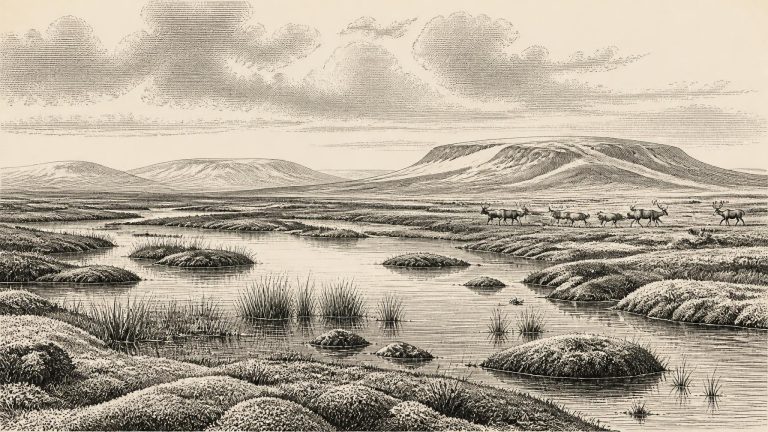
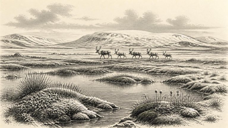
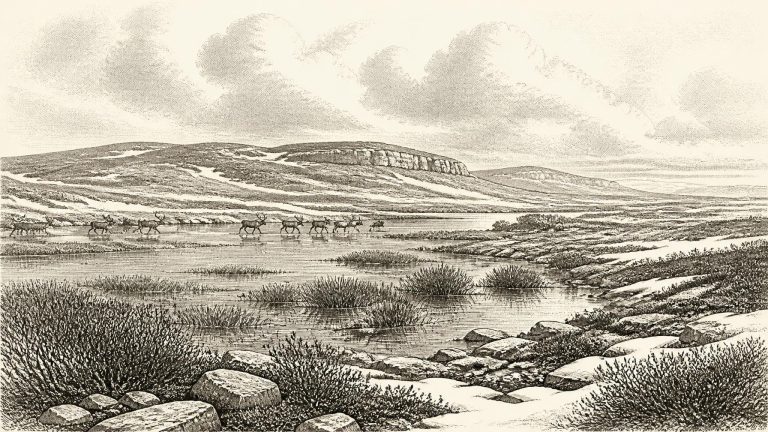
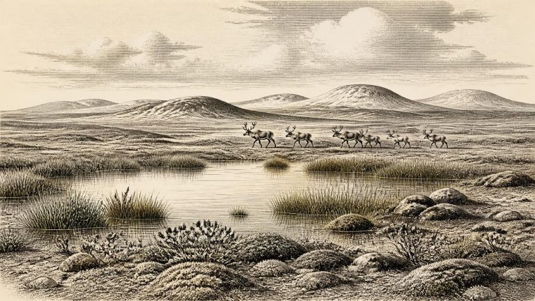
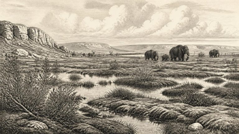
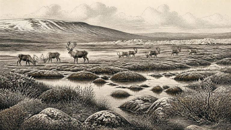
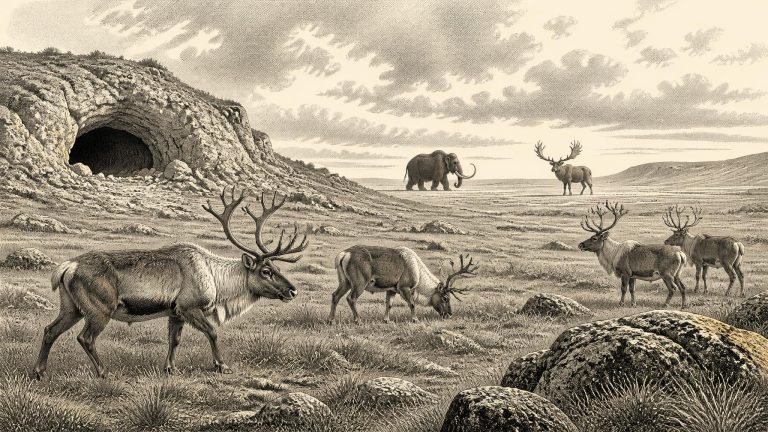
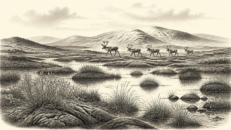
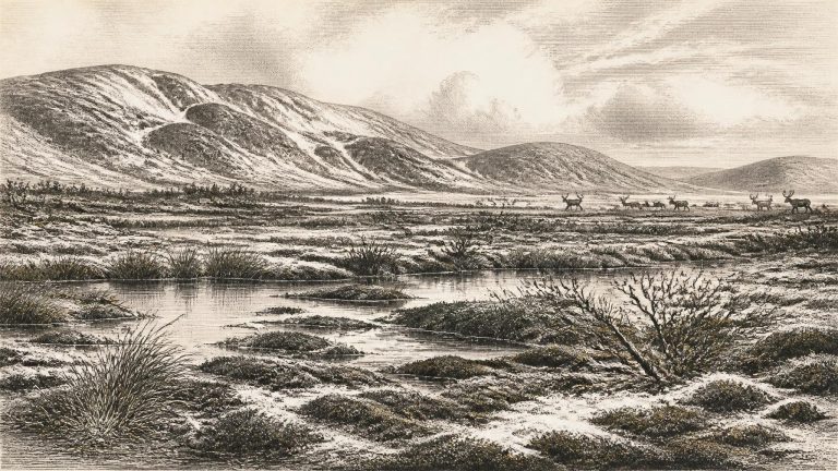
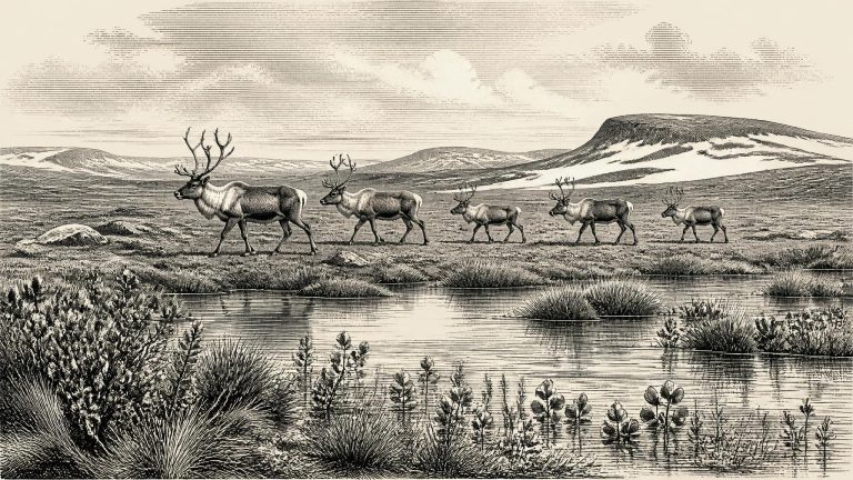
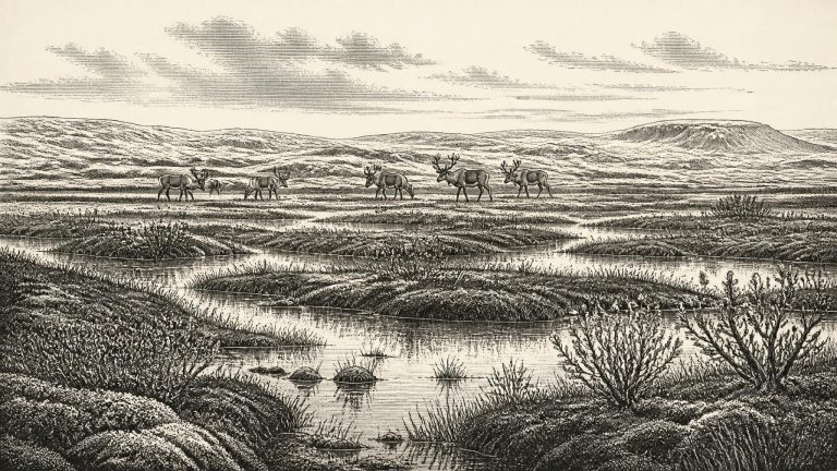
Derryvree is not a photograph of the whole island. It is a highly local archive from north-central Ireland, and its date range is measured in millennia. Yet it decisively challenges any simple image of Ireland as continuously buried beneath a single unchanging ice sheet. The plants and insects preserved between the tills indicate cold, open conditions beside freshwater. Mosses and sedges grew in wet ground; the insect assemblage has a distinctly northern, cold-climate character. Plant remains include species suited to damp pools, marshy margins and exposed ground. Together they suggest a treeless, tundra-like wetland mosaic rather than the dense, green woodland often imagined as Ireland’s natural landscape.
Derryvree is important because it offers a local environmental record where settlements, tools and hearths are absent. Plant remains, pollen, mosses and insects indicate a treeless, open environment commonly described as tundra or muskeg: wet, peaty ground with pools, sedges, grasses, herbs and low-growing plants. Fossil evidence includes cold-adapted vegetation such as dwarf willow, mountain avens, bogbean and lesser clubmoss. These remains do not recreate a single picturesque scene. They accumulated over time, and the species represented had different ecological requirements. Taken together, however, they show a harsh but living freshwater landscape, not a continent-wide desert of ice.
The key chronological lesson is that different kinds of date answer different questions. A radiocarbon date on organic mud measures when the sampled plants or animals ceased exchanging carbon with the atmosphere; it does not date every grain of sediment above or below it, nor prove that people were present. A date on an animal bone estimates when that animal died, not automatically when a surface mark was made, where it was killed, or whether a human group camped nearby.
This was Marine Isotope Stage 3, an unstable phase of the last glacial cycle. It preceded the Last Glacial Maximum, conventionally placed at roughly 26,500–19,000 years ago, when the Irish Ice Sheet formed part of the much larger British–Irish Ice Sheet. Around 30,795 BCE, Ireland should not be imagined as uniformly entombed beneath the later maximum ice cover. Rather, conditions fluctuated sharply between colder and relatively milder intervals, while local glaciers, snowfields, frost action, vegetation and animal ranges responded to those changes on differing timescales. The climate was cold by modern standards, but it was not a single, unchanging ‘Ice Age weather forecast’.
Ireland was approaching, but had not yet reached, the fullest expansion of the last British–Irish Ice Sheet. The principal Last Glacial Maximum in the Irish sector is generally placed later, broadly about 27,000–23,000 calibrated years before present. At its height, ice covered Ireland and extended across much of its continental shelf. That later event matters greatly for 30,800 BCE: it rearranged landscapes, eroded or buried older deposits, and helps explain why the human and environmental record for this earlier period is so fragmentary.
Ireland was not yet at the global Last Glacial Maximum, conventionally dated to about 26,500–19,000 years ago, but the climatic trajectory was already towards greater cold and expanding ice. The British–Irish Ice Sheet was a dynamic system, not a single fixed white blanket. Geological research indicates substantial Irish ice and major fluctuations before the Last Glacial Maximum, while continent-wide reconstructions show a general phase of ice-sheet growth from roughly 31,000 to 26,000 years ago. Consequently, no map can safely colour all of Ireland either wholly ice-covered or wholly ice-free for a point such as 30,814 BCE. Conditions differed sharply between regions and changed over spans far shorter than the duration of the glacial period.
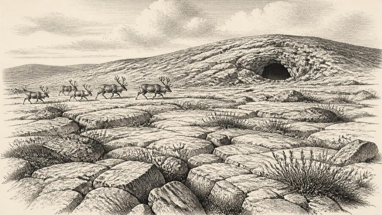
Ireland was entering a severe phase of the last glacial cycle, but it had not yet reached the Last Glacial Maximum. The fullest extent of the British–Irish Ice Sheet came later, broadly between about 27,000 and 23,000 calibrated years before present. Around the notional date used here, ice margins, local glaciers, permafrost and open ground probably varied greatly between regions and over comparatively short spans of time. It is misleading to picture one uniform white blanket covering the whole island, yet equally misleading to imagine a familiar green Ireland. This was an unstable northern landscape in which advancing ice, freezing ground, sparse vegetation and exposed sediment could rapidly alter the possibilities for plants, animals and any human visitors.
Radiocarbon determinations of this age cannot simply be converted into calendar years. Atmospheric carbon-14 varied markedly in the Pleistocene, and modern calibration curves produce probability ranges rather than exact dates. The distinction matters. A radiocarbon age measures residual carbon-14 in once-living material; a calibrated age estimates where that measurement sits in calendar time. Neither can identify what happened in Ireland in the notional year 30,833 BCE.
Calendar conversion must not be mistaken for precision. Radiocarbon laboratories conventionally measure ages in years “before present”, where present means AD 1950, but the concentration of atmospheric carbon-14 has changed through time. Results must consequently be calibrated against independently dated records, and the resulting calendar estimates are ranges, not single dates. At more than 30,000 years ago those ranges can be broad. The modern label 30,851 BCE may therefore be used to locate this article in time, but not to assign an animal death, a journey, a hunting episode or an ice advance to a named twelve-month period.
This date falls during a major transformation in north-west Europe. The British–Irish Ice Sheet was building towards its greatest overall volume, reached much later, around 23,000 years before present, while its different sectors advanced and retreated at different times. Reconstructions indicate sustained ice-sheet growth from about 31,000 to 26,000 years ago. Ireland was therefore not uniformly, permanently entombed beneath ice at 30,852 BCE, but it was entering an increasingly severe glacial world in which the extent of ice, exposed ground, coastlines and routes through the Irish Sea changed substantially by region and through time.
Radiocarbon ages, calendar ages and BCE dates are not interchangeable. A radiocarbon measurement estimates the remaining carbon-14 in organic material; because atmospheric carbon-14 has varied, that result must be calibrated against internationally constructed curves. At more than 30,000 years ago, a laboratory determination commonly translates into a wide calendar range, not a single date. Stratigraphy adds another kind of evidence: it establishes that one deposit lay before or after another, but rarely supplies a precise calendar year.
At Derryvree, roadworks exposed organic freshwater silts and fine sands enclosed between two bodies of till: unsorted debris deposited directly or indirectly by glacier ice. The sequence provides a powerful relative history. Ice had first occupied the locality and left a lower till. Later, water, vegetation and small animals accumulated organic sediment in ground that was not then under glacier ice. A renewed advance eventually buried that freshwater deposit beneath an upper till.
It would be misleading to attach a specific occurrence to 30,865 BCE. The island’s archaeological record has been heavily altered by later ice movement, erosion, changing sea levels and the destructive methods of some early cave excavations. Much of what survives consists of deposits accumulated over centuries or millennia, subsequently displaced or mixed. A bone can date the death of an animal; it cannot by itself date the instant it entered a cave, identify the season of death, or prove that people were present at the time.
At this time Ireland was neither the familiar green island of later prehistory nor necessarily a single, uniform ice sheet. The wider North Atlantic climate swung sharply between colder stadials and comparatively milder interstadials. Ice had already formed and advanced in parts of the British–Irish region, but the timing, thickness and exact limits of ice across Ireland during Marine Isotope Stage 3 remain debated. Recent syntheses stress that ice-sheet growth and retreat were dynamic, uneven and not identical in every district. The later maximum, generally placed broadly between about 27,000 and 21,000 years ago, lay ahead.
The closest Irish chronological anchor is the Derryvree freshwater sequence near Maguiresbridge, County Fermanagh. Road works in 1969 cut through a drumlin and revealed silts and fine sands rich in organic material, enclosed between two distinct tills: unsorted debris left by moving glacier ice. Its order is secure. Ice deposited the lower till; an interval without glacier cover at that locality allowed freshwater sediments, plants and insects to accumulate; then a later ice advance laid down the upper till and sealed the deposit.
Ireland lay within Marine Isotope Stage 3, a long, climatically unstable part of the Late Pleistocene. It was not yet the familiar wooded and maritime island of later prehistory. Nor should it be pictured simply as an unbroken white ice cap. The Last Glacial Maximum, when the British–Irish Ice Sheet covered Ireland and extended across much of its continental shelf, came later, broadly around 27,000–23,000 cal BP. Before that maximum, ice sheets repeatedly grew, shifted and retreated; their margins and thickness varied greatly by region.
The nearest important Irish radiocarbon determination is from Derryvree. Organic freshwater sediments there produced a conventional age of about 30,500 radiocarbon years before present, with a substantial uncertainty. Calibration converts such measurements into calendar ages, but not into a single recoverable moment: published discussion places the deposit broadly at about 36,900–31,700 calibrated years before present. This wide range encompasses the period represented by 30,885 BCE, but does not demonstrate that the visible plants, insects or waters existed in that precise numbered year.
This was not yet the Last Glacial Maximum, the phase when the British–Irish Ice Sheet later reached its greatest documented extent, broadly between about 27,000 and 21,000 years ago. But it was a cold-stage world moving towards more severe glaciation. Ice margins, sea level, vegetation and animal routes changed repeatedly over periods far longer than a human lifetime. Recent reconstructions place important growth of the last British–Irish Ice Sheet after roughly 35,000–32,000 years ago, while also stressing that the timing and extent of early advances remain difficult to reconstruct. It would be misleading to draw a sharp line across Ireland and declare every district either permanently frozen or reliably open at 30,886 BCE.
Ireland was not yet at the fullest expansion of the last British–Irish Ice Sheet. That came later, principally during the Last Glacial Maximum, when ice expanded dramatically between roughly 28,000 and 26,500 years ago and reached its greatest extent around 26,000–24,000 years ago in many sectors. Around the date represented here, however, parts of Ireland were ice-free or at least beyond an active ice margin. This does not mean mild conditions. It means a cold, exposed country in which glaciers had temporarily retreated or had not yet advanced over particular districts.
Modern calendar precision is especially misleading here. Radiocarbon years are not calendar years, and a measurement from a bone dates the death of that animal, not necessarily the formation of a deposit, the arrival of a predator, or a human encounter. Calibration curves such as IntCal20 extend back to 55,000 calibrated years before present, but uncertainties increase greatly in this period. A conventional radiocarbon determination from organic deposits at Derryvree, near Maguiresbridge in County Fermanagh, of roughly 30,500 radiocarbon years BP, with an error of more than a millennium, is informative precisely because it belongs to a broad interval rather than a pinpoint.
Derryvree provides the clearest direct evidence for conditions in part of Ireland around this remote period. Roadworks in 1969 cut through a drumlin, exposing an unusual sequence. A lower sheet of glacial till lay beneath silts and fine sands deposited in freshwater, while another thick till sheet sealed the organic sediments above. Till is the unsorted mixture of clay, stones and debris laid down directly by ice. The sequence demonstrates, at minimum, that glacier ice affected the district before the freshwater beds formed and returned afterwards.